
| Memorials | : | 1 |
| Location | : | Mechanicstown, Carroll County, USA |
| Coordinate | : | 40.6156006, -80.9578018 |
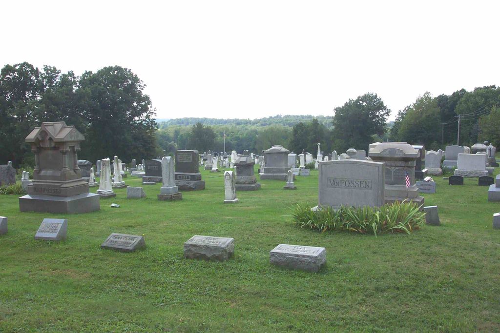
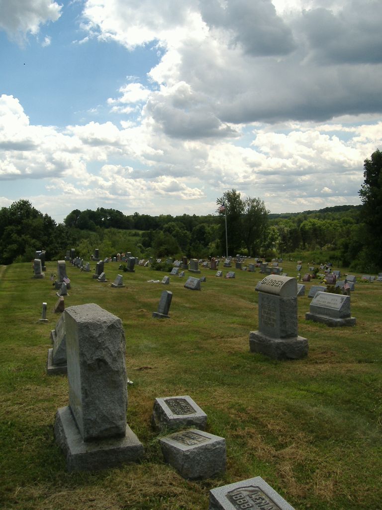
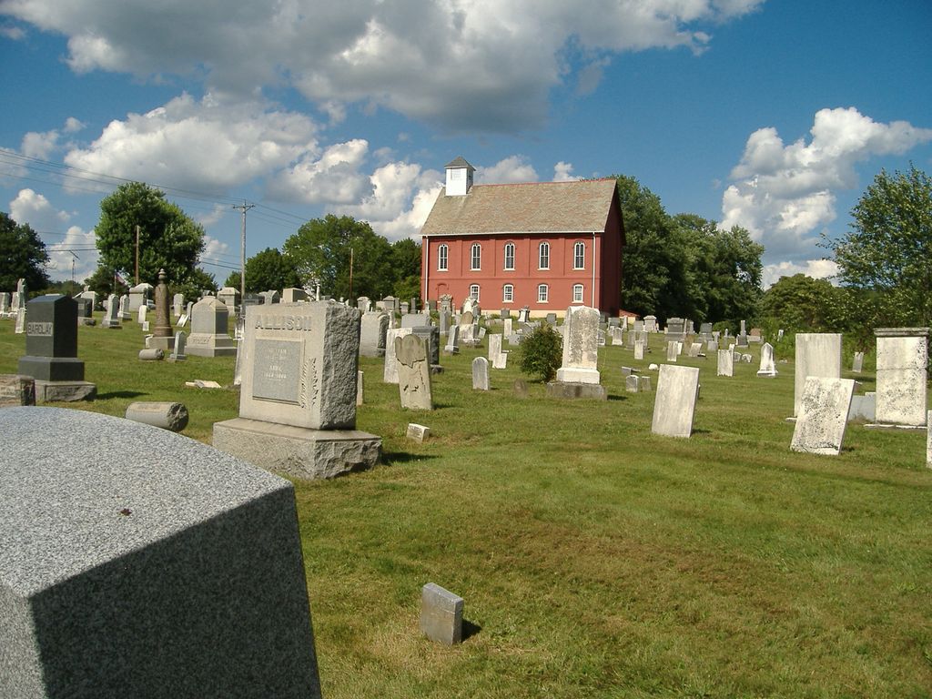
| Description | : | The cemetery is located on the south side of Salineville Road NE (Ohio State Route 39) about 0.3 miles southeast of its intersection with Ohio State Route 524. The cemetery is located in Fox Township, Carroll County, Ohio, and is # 1409 (Corith-Mechanicstown Cemetery) in “Ohio Cemeteries 1803-2003”, compiled by the Ohio Genealogical Society. The U.S. Geological Survey (USGS) Geographic Names Information System (GNIS) feature ID for the cemetery is 1052473 (Corith-Mechanicstown Cemetery). |
frequently asked questions (FAQ):
-
Where is Corinth-Mechanicstown Cemetery?
Corinth-Mechanicstown Cemetery is located at Salineville Road NE (Ohio State Route 39) Mechanicstown, Carroll County ,Ohio , 44651USA.
-
Corinth-Mechanicstown Cemetery cemetery's updated grave count on graveviews.com?
1 memorials
-
Where are the coordinates of the Corinth-Mechanicstown Cemetery?
Latitude: 40.6156006
Longitude: -80.9578018
Nearby Cemetories:
1. Snyder Cemetery
Carroll County, USA
Coordinate: 40.6169014, -80.9766998
2. Scroggsfield Cemetery
Scroggsfield, Carroll County, USA
Coordinate: 40.5748980, -80.9652890
3. Mount Olivet Cemetery
Carroll County, USA
Coordinate: 40.5905991, -81.0081024
4. Glade Run Cemetery
East Township, Carroll County, USA
Coordinate: 40.6680984, -80.9642029
5. Herrington Bethel Cemetery
Carroll County, USA
Coordinate: 40.6493988, -81.0128021
6. Upper Glade Run Cemetery
Carroll County, USA
Coordinate: 40.6691400, -80.9653910
7. Palmer Cemetery
Fox Township, Carroll County, USA
Coordinate: 40.5578003, -80.9764023
8. Glade Run Mennonite Church Cemetery
East Township, Carroll County, USA
Coordinate: 40.6760920, -80.9639470
9. Crawford Cemetery
Augusta, Carroll County, USA
Coordinate: 40.6664009, -81.0036011
10. McGauran Cemetery
Harlem Springs, Carroll County, USA
Coordinate: 40.5522003, -80.9749985
11. Chestnut Ridge Cemetery
Harlem Springs, Carroll County, USA
Coordinate: 40.5491982, -80.9336014
12. Downing Cemetery
Carroll County, USA
Coordinate: 40.5567017, -81.0117035
13. Stuller Cemetery
Carroll County, USA
Coordinate: 40.6302986, -81.0513992
14. Saint John's Catholic Cemetery
Summitville, Columbiana County, USA
Coordinate: 40.6722984, -80.8980026
15. West Grove Cemetery
Brush Creek Township, Jefferson County, USA
Coordinate: 40.5985985, -80.8613968
16. Moorehead Cemetery
Carroll County, USA
Coordinate: 40.5449982, -81.0033035
17. Greenbrier-West Union Cemetery
Carroll County, USA
Coordinate: 40.5696983, -80.8728027
18. County Home Cemetery
Carroll County, USA
Coordinate: 40.6175003, -81.0674973
19. Woodland Cemetery
Salineville, Columbiana County, USA
Coordinate: 40.6278000, -80.8486023
20. Brush Creek Baptist Cemetery
Carroll County, USA
Coordinate: 40.5624008, -80.8715973
21. Dunbar Family Cemetery
Monroeville, Jefferson County, USA
Coordinate: 40.5878080, -80.8514680
22. Denver George Haddock Family Cemetery
Carrollton, Carroll County, USA
Coordinate: 40.5443880, -81.0227370
23. Augusta Christian Church Cemetery
Augusta, Carroll County, USA
Coordinate: 40.6880989, -81.0211029
24. Bird Cemetery
Carroll County, USA
Coordinate: 40.6761017, -81.0406036