
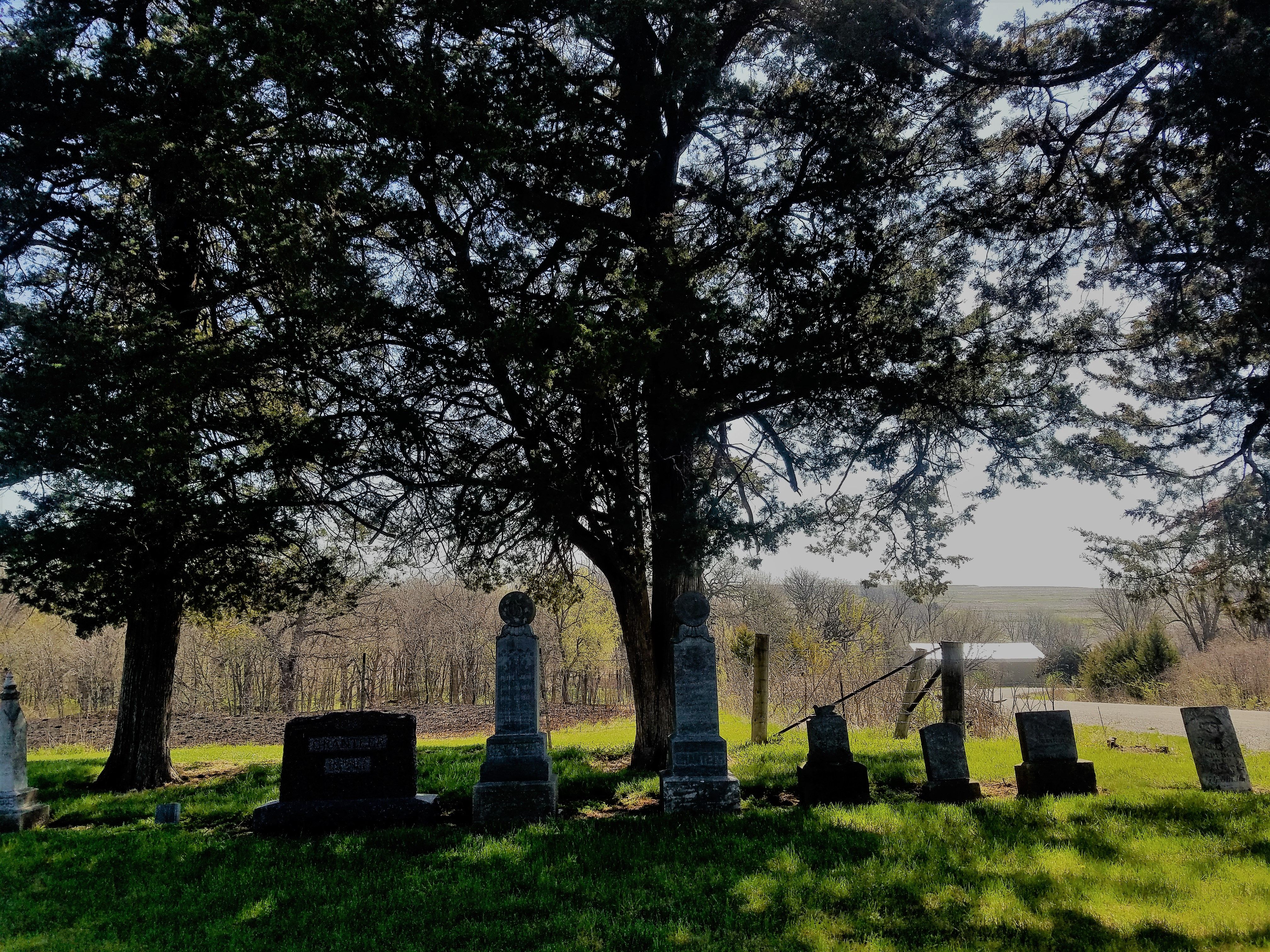
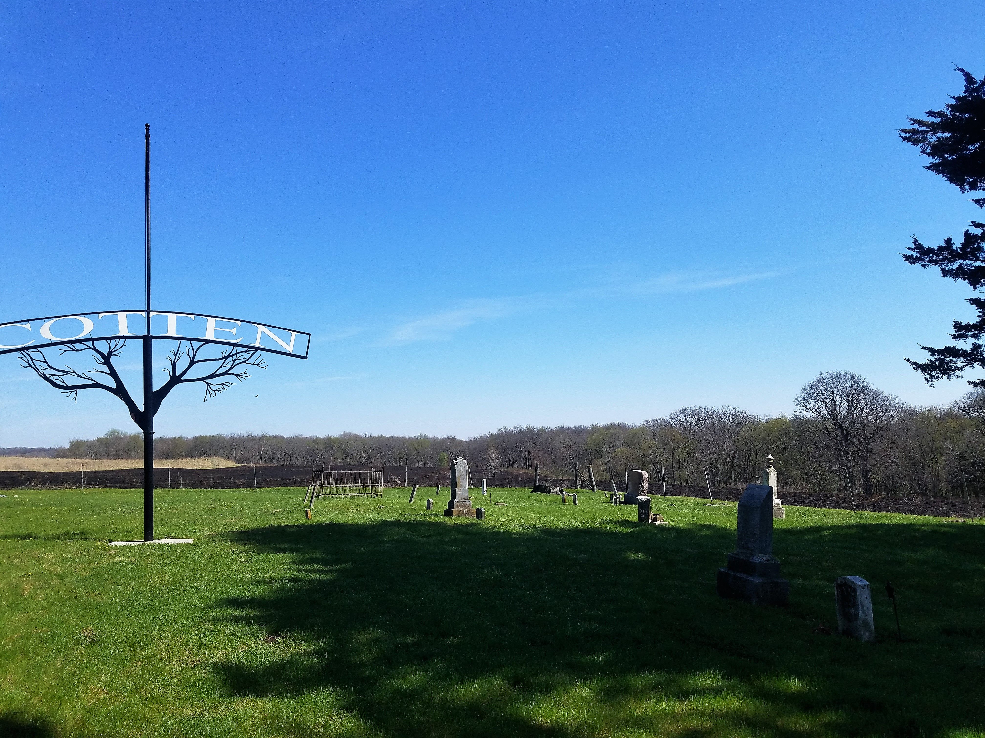
| Memorials | : | 6 |
| Location | : | Mills County, USA |
| Coordinate | : | 41.0845000, -95.5167000 |
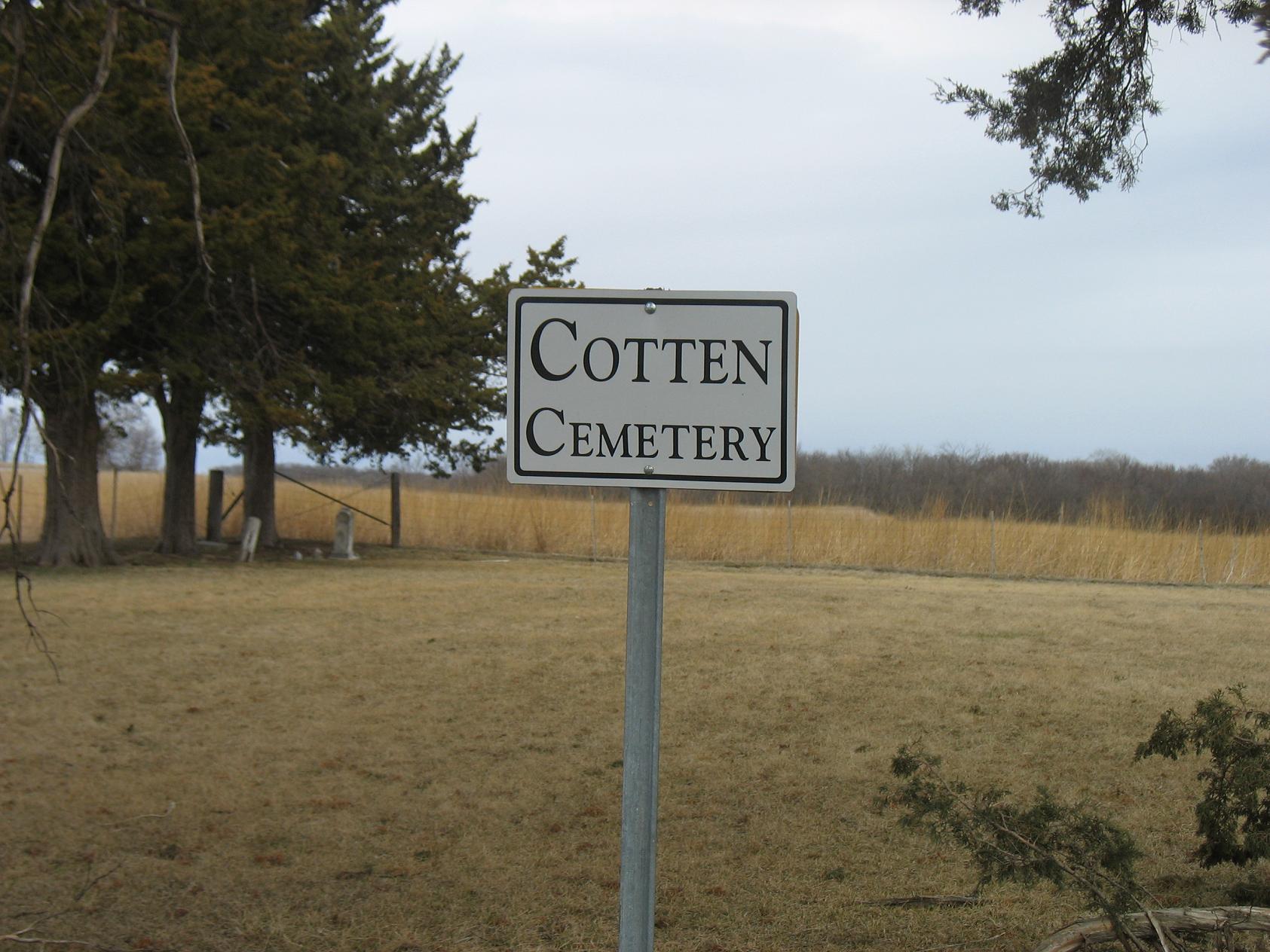
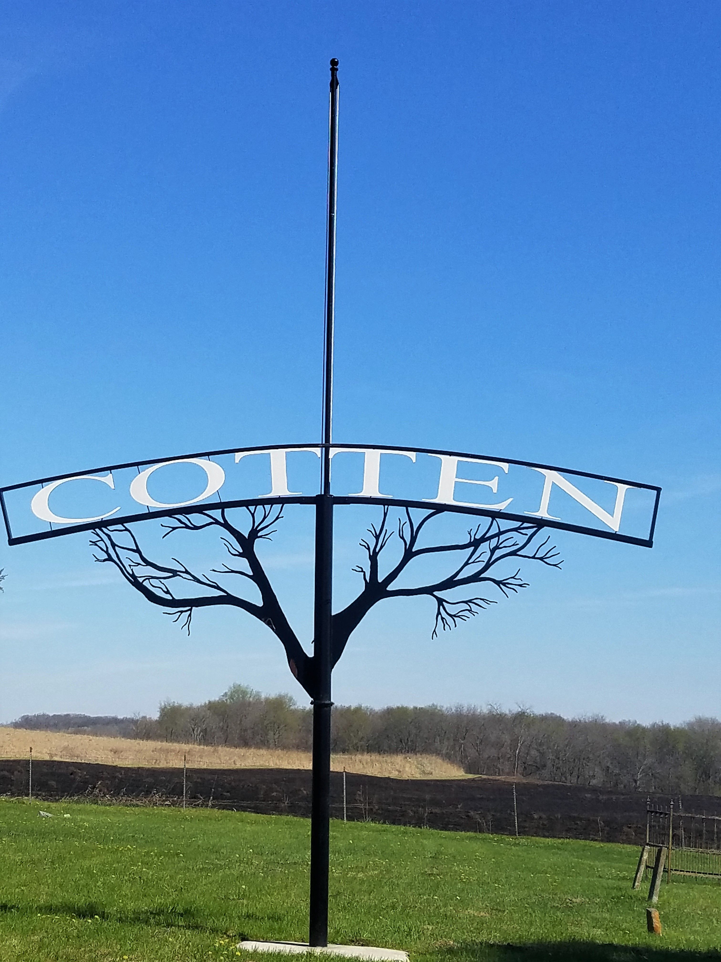
| Description | : | Turn left (North) off of 350th St (gravel road) and go to Fry Ave and turn right. The cemetery will be behind an area marked as "Ray Thomas Wildlife Preserve, Mills County Conservation Bd." The only thing at Fry Ave that can be seen of the cemetery is a stand of pine trees and a few tall stones. |
frequently asked questions (FAQ):
-
Where is Cotten Cemetery?
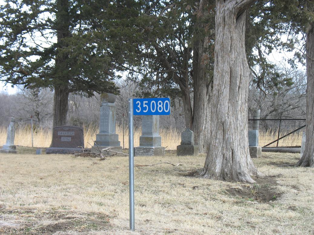
Cotten Cemetery is located at 35080 Fry Ave. Mills County ,Iowa ,USA.
-
Cotten Cemetery cemetery's updated grave count on graveviews.com?
6 memorials
-
Where are the coordinates of the Cotten Cemetery?
Latitude: 41.0845000
Longitude: -95.5167000

Nearby Cemetories:
1. Wesley Chapel Cemetery
Henderson, Mills County, USA
Coordinate: 41.1019249, -95.4987793
2. Saylers Farm Cemetery
Henderson, Mills County, USA
Coordinate: 41.1083300, -95.4919440
3. Wearin Cemetery
Malvern, Mills County, USA
Coordinate: 41.0395000, -95.5313000
4. East Liberty Cemetery
Malvern, Mills County, USA
Coordinate: 41.0592346, -95.6005020
5. Hastings Cemetery
Hastings, Mills County, USA
Coordinate: 41.0097008, -95.4993973
6. North Grove Cemetery
Hastings, Mills County, USA
Coordinate: 41.0161018, -95.4618988
7. Farm Creek Cemetery
Henderson, Mills County, USA
Coordinate: 41.1319008, -95.4186020
8. Silver City Cemetery
Silver City, Mills County, USA
Coordinate: 41.1042442, -95.6380005
9. Emerson Cemetery
Emerson, Mills County, USA
Coordinate: 41.0325012, -95.4021988
10. Malvern Cemetery
Malvern, Mills County, USA
Coordinate: 40.9886017, -95.5785980
11. South Grove Cemetery
Mills County, USA
Coordinate: 40.9775009, -95.4931030
12. Parker Cemetery
White Cloud, Mills County, USA
Coordinate: 40.9737649, -95.5184363
13. Lowens Cemetery
Garfield Township, Montgomery County, USA
Coordinate: 41.0527728, -95.3758292
14. Hillsdale Cemetery
Glenwood, Mills County, USA
Coordinate: 41.0097008, -95.6427994
15. Mills County Farm Cemetery
Glenwood, Mills County, USA
Coordinate: 41.0417930, -95.6756530
16. Old Town Cemetery
Macedonia, Pottawattamie County, USA
Coordinate: 41.2030983, -95.4421997
17. Macedonia Cemetery
Macedonia, Pottawattamie County, USA
Coordinate: 41.1921997, -95.4167023
18. Bomar Family Cemetery
Mills County, USA
Coordinate: 41.0369400, -95.6941700
19. Mineola Cemetery
Mineola, Mills County, USA
Coordinate: 41.1391130, -95.6941800
20. Buckner Cemetery
Wales, Montgomery County, USA
Coordinate: 41.1595600, -95.3440700
21. Mormon Cemetery
Macedonia, Pottawattamie County, USA
Coordinate: 41.1885986, -95.3557663
22. Gomer Cemetery
Wales, Montgomery County, USA
Coordinate: 41.1171989, -95.3082962
23. Zion Congregational Cemetery
Treynor, Pottawattamie County, USA
Coordinate: 41.2325090, -95.6079200
24. Keg Creek Township Cemetery
Treynor, Pottawattamie County, USA
Coordinate: 41.1913986, -95.6893997