| Memorials | : | 55 |
| Location | : | Treynor, Pottawattamie County, USA |
| Coordinate | : | 41.2325090, -95.6079200 |
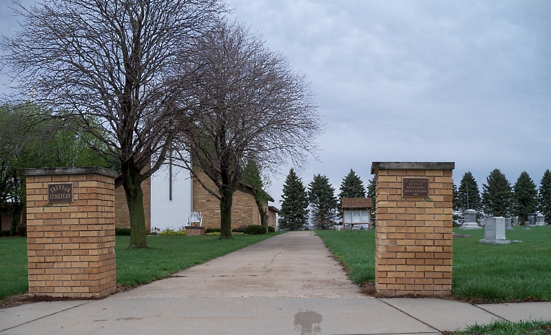
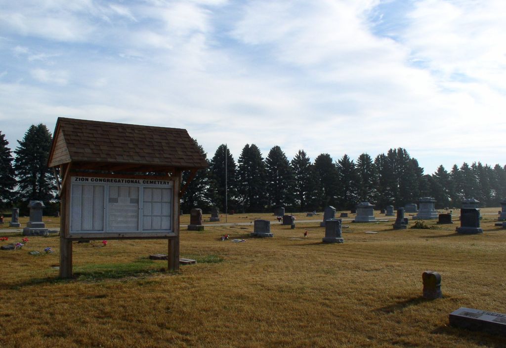
| Description | : | The Zion Congregational Church Cemetery is located on the north side of Highway 92 just east of the Church in Treynor, IA. The Congregational Church is on the west side of the cemetery. |
frequently asked questions (FAQ):
-
Where is Zion Congregational Cemetery?
Zion Congregational Cemetery is located at Treynor, Pottawattamie County ,Iowa ,USA.
-
Zion Congregational Cemetery cemetery's updated grave count on graveviews.com?
54 memorials
-
Where are the coordinates of the Zion Congregational Cemetery?
Latitude: 41.2325090
Longitude: -95.6079200
Nearby Cemetories:
1. Saint Paul Lutheran Cemetery
Treynor, Pottawattamie County, USA
Coordinate: 41.2322000, -95.6380000
2. Fairview Pioneer Cemetery
Treynor, Pottawattamie County, USA
Coordinate: 41.2812843, -95.5555267
3. Hardin Township Cemetery
McClelland, Pottawattamie County, USA
Coordinate: 41.2949982, -95.6513977
4. Keg Creek Township Cemetery
Treynor, Pottawattamie County, USA
Coordinate: 41.1913986, -95.6893997
5. Pottawattamie County Home Cemetery
McClelland, Pottawattamie County, USA
Coordinate: 41.3269400, -95.6691738
6. Zion Cemetery
Pottawattamie County, USA
Coordinate: 41.1778000, -95.7272000
7. Mineola Cemetery
Mineola, Mills County, USA
Coordinate: 41.1391130, -95.6941800
8. Saint Pauls Evangelical Country Church Cemetery
Dumfries, Pottawattamie County, USA
Coordinate: 41.1748352, -95.7492371
9. Stoker-Graybill Cemetery
Council Bluffs, Pottawattamie County, USA
Coordinate: 41.2532620, -95.7751770
10. Old Town Cemetery
Macedonia, Pottawattamie County, USA
Coordinate: 41.2030983, -95.4421997
11. Silver City Cemetery
Silver City, Mills County, USA
Coordinate: 41.1042442, -95.6380005
12. Belknap Cemetery
Oakland, Pottawattamie County, USA
Coordinate: 41.2924995, -95.4424973
13. Downsville Cemetery
Pottawattamie County, USA
Coordinate: 41.3502998, -95.7039032
14. Saint Boniface Catholic Cemetery
Mills County, USA
Coordinate: 41.1419000, -95.7467100
15. Salem Lutheran Church Cemetery
Glenwood, Mills County, USA
Coordinate: 41.1556015, -95.7617035
16. Lewis Township Cemetery
Council Bluffs, Pottawattamie County, USA
Coordinate: 41.2117004, -95.7938995
17. Jones - Williams Cemetery
Pottawattamie County, USA
Coordinate: 41.3761000, -95.5846000
18. Macedonia Cemetery
Macedonia, Pottawattamie County, USA
Coordinate: 41.1921997, -95.4167023
19. Saint Columbanus Cemetery
Weston, Pottawattamie County, USA
Coordinate: 41.3429440, -95.7435260
20. Saylers Farm Cemetery
Henderson, Mills County, USA
Coordinate: 41.1083300, -95.4919440
21. Big Grove Cemetery
Pottawattamie County, USA
Coordinate: 41.3088420, -95.4322120
22. Carson Cemetery
Carson, Pottawattamie County, USA
Coordinate: 41.2392006, -95.4044037
23. Wesley Chapel Cemetery
Henderson, Mills County, USA
Coordinate: 41.1019249, -95.4987793
24. Garner Cemetery
Council Bluffs, Pottawattamie County, USA
Coordinate: 41.2956161, -95.8001709


