
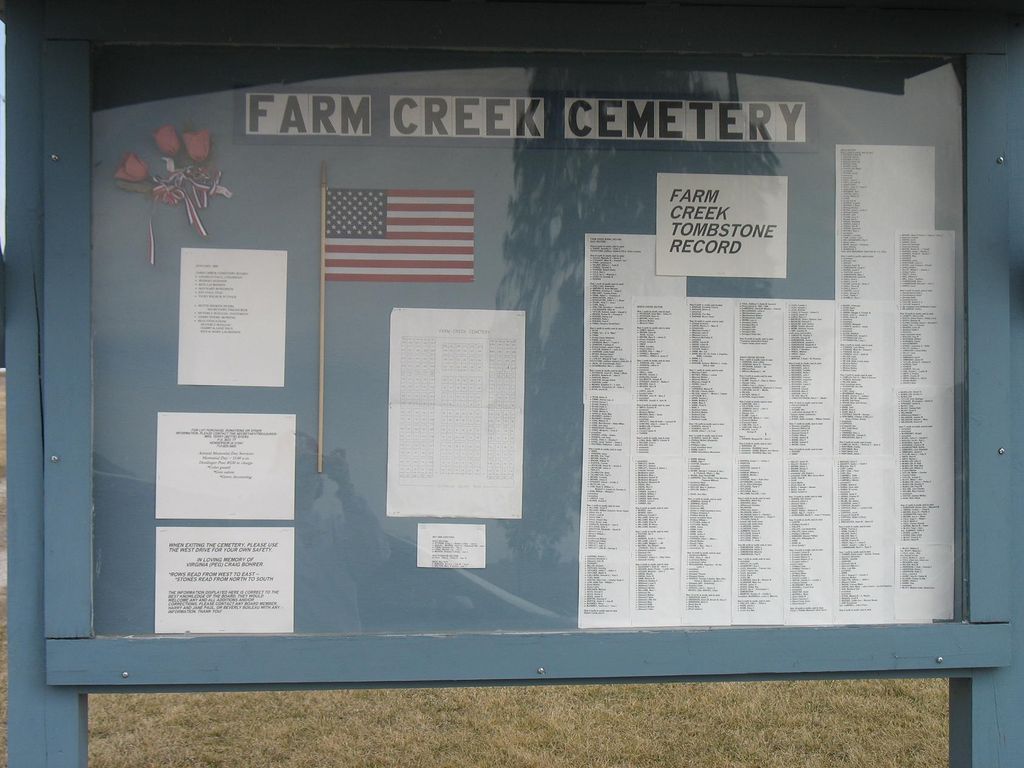
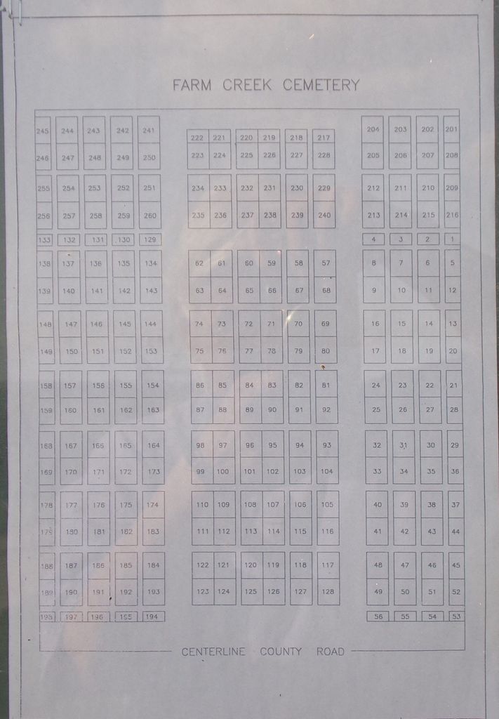
| Memorials | : | 244 |
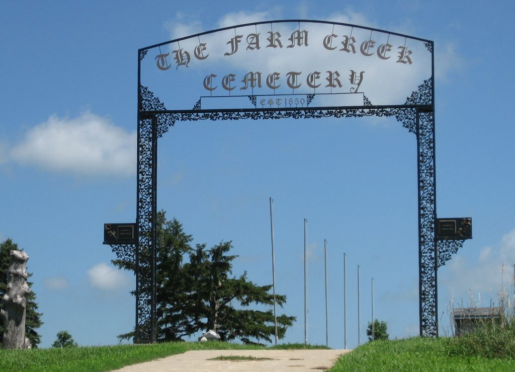
| Location | : | Henderson, Mills County, USA |
| Coordinate | : | 41.1319008, -95.4186020 |
| Description | : | Located outside the town of Henderson. |
frequently asked questions (FAQ):
-
Where is Farm Creek Cemetery?
Farm Creek Cemetery is located at Henderson, Mills County ,Iowa ,USA.
-
Farm Creek Cemetery cemetery's updated grave count on graveviews.com?
244 memorials
-
Where are the coordinates of the Farm Creek Cemetery?
Latitude: 41.1319008
Longitude: -95.4186020
Nearby Cemetories:
1. Saylers Farm Cemetery
Henderson, Mills County, USA
Coordinate: 41.1083300, -95.4919440
2. Macedonia Cemetery
Macedonia, Pottawattamie County, USA
Coordinate: 41.1921997, -95.4167023
3. Buckner Cemetery
Wales, Montgomery County, USA
Coordinate: 41.1595600, -95.3440700
4. Wesley Chapel Cemetery
Henderson, Mills County, USA
Coordinate: 41.1019249, -95.4987793
5. Old Town Cemetery
Macedonia, Pottawattamie County, USA
Coordinate: 41.2030983, -95.4421997
6. Mormon Cemetery
Macedonia, Pottawattamie County, USA
Coordinate: 41.1885986, -95.3557663
7. Gomer Cemetery
Wales, Montgomery County, USA
Coordinate: 41.1171989, -95.3082962
8. Lowens Cemetery
Garfield Township, Montgomery County, USA
Coordinate: 41.0527728, -95.3758292
9. Cotten Cemetery
Mills County, USA
Coordinate: 41.0845000, -95.5167000
10. Bradway Farm Cemetery
Macedonia, Pottawattamie County, USA
Coordinate: 41.2083300, -95.3336500
11. Emerson Cemetery
Emerson, Mills County, USA
Coordinate: 41.0325012, -95.4021988
12. Wheeler Grove Cemetery
Macedonia, Pottawattamie County, USA
Coordinate: 41.2131691, -95.3393631
13. Center Ridge Cemetery
Montgomery County, USA
Coordinate: 41.1452141, -95.2787018
14. Carson Cemetery
Carson, Pottawattamie County, USA
Coordinate: 41.2392006, -95.4044037
15. North Grove Cemetery
Hastings, Mills County, USA
Coordinate: 41.0161018, -95.4618988
16. Wearin Cemetery
Malvern, Mills County, USA
Coordinate: 41.0395000, -95.5313000
17. Hastings Cemetery
Hastings, Mills County, USA
Coordinate: 41.0097008, -95.4993973
18. L Laire Property Cemetery (Defunct)
Sherman Township, Montgomery County, USA
Coordinate: 41.0958257, -95.2224927
19. East Liberty Cemetery
Malvern, Mills County, USA
Coordinate: 41.0592346, -95.6005020
20. Belknap Cemetery
Oakland, Pottawattamie County, USA
Coordinate: 41.2924995, -95.4424973
21. South Grove Cemetery
Mills County, USA
Coordinate: 40.9775009, -95.4931030
22. Silver City Cemetery
Silver City, Mills County, USA
Coordinate: 41.1042442, -95.6380005
23. Saint Marys Cemetery
Red Oak, Montgomery County, USA
Coordinate: 41.0447006, -95.2275009
24. Zion Congregational Cemetery
Treynor, Pottawattamie County, USA
Coordinate: 41.2325090, -95.6079200