
| Memorials | : | 1 |
| Location | : | San Leandro, Alameda County, USA |
| Coordinate | : | 37.7165794, -122.1227798 |
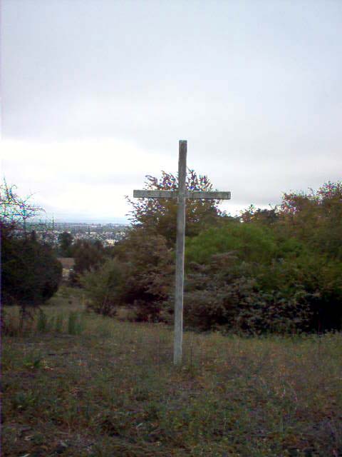
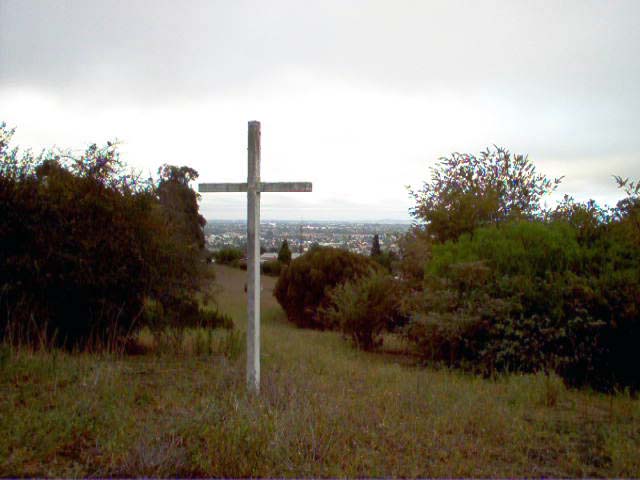
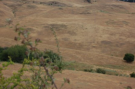
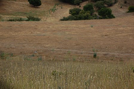
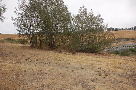
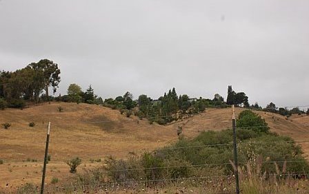
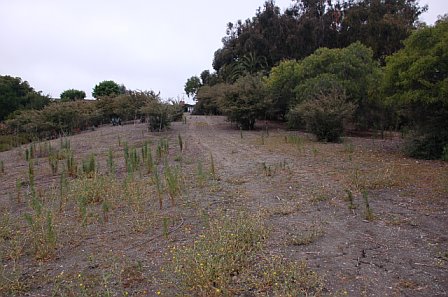
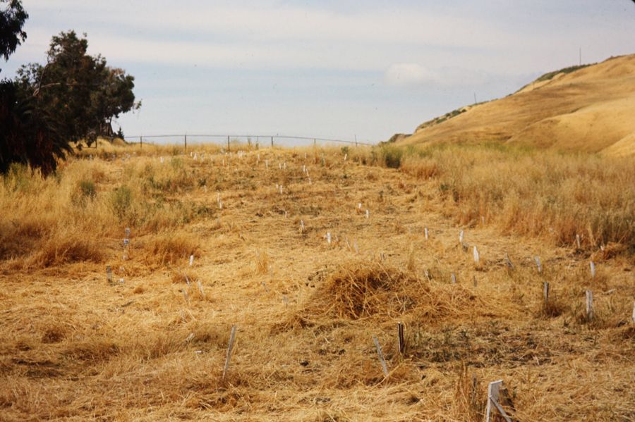
| Description | : | Contact information: Alameda County Coroner 480 Fourth Street Oakland, CA 94607 (510) 268-7300 This Potter's Field is on a hilly, secluded area on the right of and adjacent to Mount Calvary Cemetery. The boundary between Mount Calvary Cemetery and Potter's Field is designated by a path with no fence or cemetery gate dividing the two properties. The graves are marked mostly by wooden crosses which have weathered, broken and some even burned. Conflicting information has been collected about this cemetery. One source asserted that there were TWO Potter's Fields at this location - one beyond the large wooden cross and another inaccessible on... Read More |
frequently asked questions (FAQ):
-
Where is County Cemetery?
County Cemetery is located at San Leandro, Alameda County ,California ,USA.
-
County Cemetery cemetery's updated grave count on graveviews.com?
1 memorials
-
Where are the coordinates of the County Cemetery?
Latitude: 37.7165794
Longitude: -122.1227798
Nearby Cemetories:
1. Mount Calvary Cemetery
San Leandro, Alameda County, USA
Coordinate: 37.7178001, -122.1228027
2. San Lorenzo Pioneer Memorial Park
San Lorenzo, Alameda County, USA
Coordinate: 37.6901500, -122.1288500
3. Mount Saint Joseph Cemetery
Hayward, Alameda County, USA
Coordinate: 37.6685028, -122.0760422
4. Evergreen Cemetery
Oakland, Alameda County, USA
Coordinate: 37.7719002, -122.1782990
5. Lone Tree Cemetery
Hayward, Alameda County, USA
Coordinate: 37.6747017, -122.0483017
6. Mount Eden Cemetery
Hayward, Alameda County, USA
Coordinate: 37.6384000, -122.1105800
7. Sunnyside Cemetery
Oakland, Alameda County, USA
Coordinate: 37.7806260, -122.1822410
8. Holy Sepulchre Cemetery
Hayward, Alameda County, USA
Coordinate: 37.6486588, -122.0647125
9. Home of Peace Cemetery
Oakland, Alameda County, USA
Coordinate: 37.7790604, -122.2036285
10. Garin Regional Park
Hayward, Alameda County, USA
Coordinate: 37.6365760, -122.0338690
11. Saint Paul Lutheran Church
Oakland, Alameda County, USA
Coordinate: 37.8020820, -122.2222780
12. Chapel of the Chimes Memorial Park
Hayward, Alameda County, USA
Coordinate: 37.6110992, -122.0222015
13. Cathedral of Christ the Light Mausoleum
Oakland, Alameda County, USA
Coordinate: 37.8105316, -122.2633896
14. Alamo Cemetery
Alamo, Contra Costa County, USA
Coordinate: 37.8361015, -122.0149994
15. Dublin Cemetery
Dublin, Alameda County, USA
Coordinate: 37.6996040, -121.9384384
16. Mountain View Cemetery
Oakland, Alameda County, USA
Coordinate: 37.8327600, -122.2395200
17. Home of Eternity Cemetery
Oakland, Alameda County, USA
Coordinate: 37.8322970, -122.2448270
18. Chapel of the Chimes Columbarium and Mausoleum
Oakland, Alameda County, USA
Coordinate: 37.8318863, -122.2456894
19. Saint Mary's Cemetery
Oakland, Alameda County, USA
Coordinate: 37.8349991, -122.2418976
20. Chapel of Memories Columbarium
Oakland, Alameda County, USA
Coordinate: 37.8310471, -122.2480927
21. Saint Anselms Episcopal Church Columbarium
Lafayette, Contra Costa County, USA
Coordinate: 37.8737230, -122.0933820
22. Holy Cross Orthodox Monastery Burial Site
Castro Valley, Alameda County, USA
Coordinate: 37.6331890, -121.9511560
23. Saint Timothys Episcopal Church Columbarium
Danville, Contra Costa County, USA
Coordinate: 37.8364800, -121.9708800
24. Lafayette-Orinda Presbyterian Church Garden
Contra Costa County, USA
Coordinate: 37.8866040, -122.1606950