
| Memorials | : | 4530 |
| Location | : | Oakland, Alameda County, USA |
| Phone | : | (510) 654-0124 |
| Coordinate | : | 37.8310471, -122.2480927 |
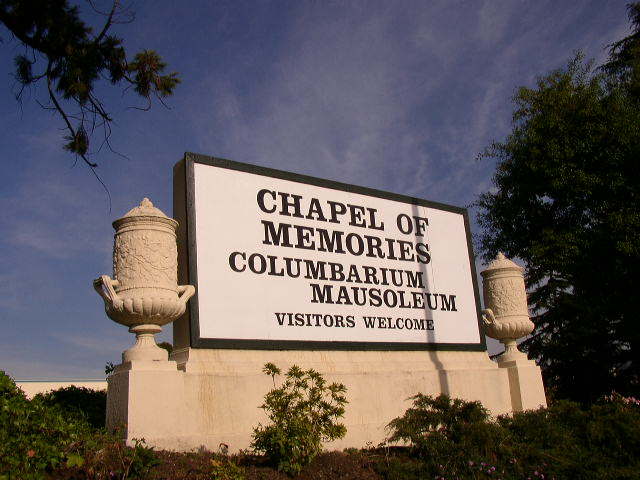
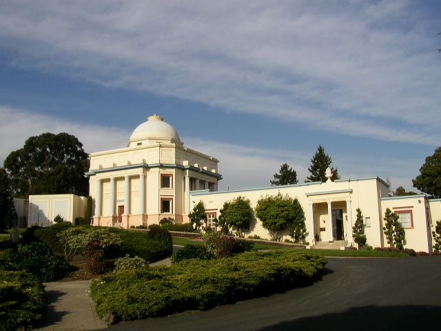
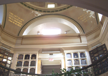
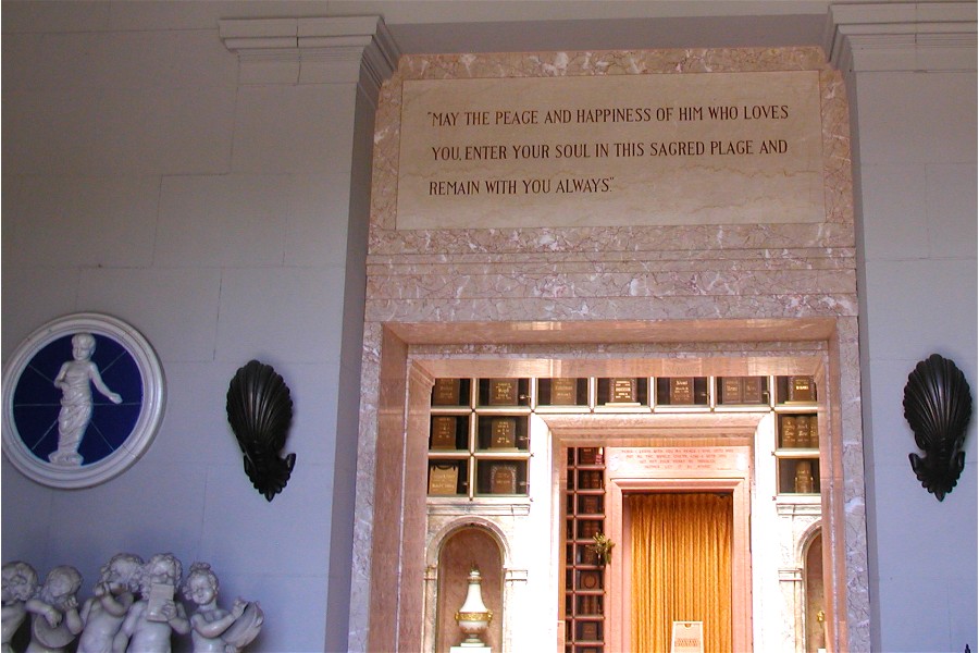
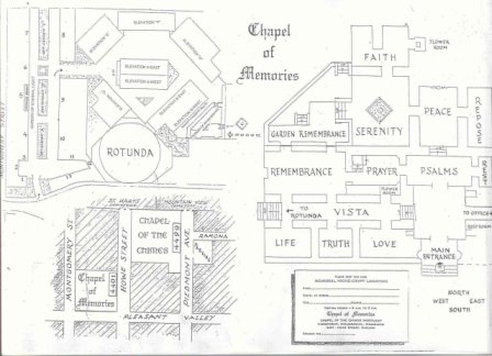
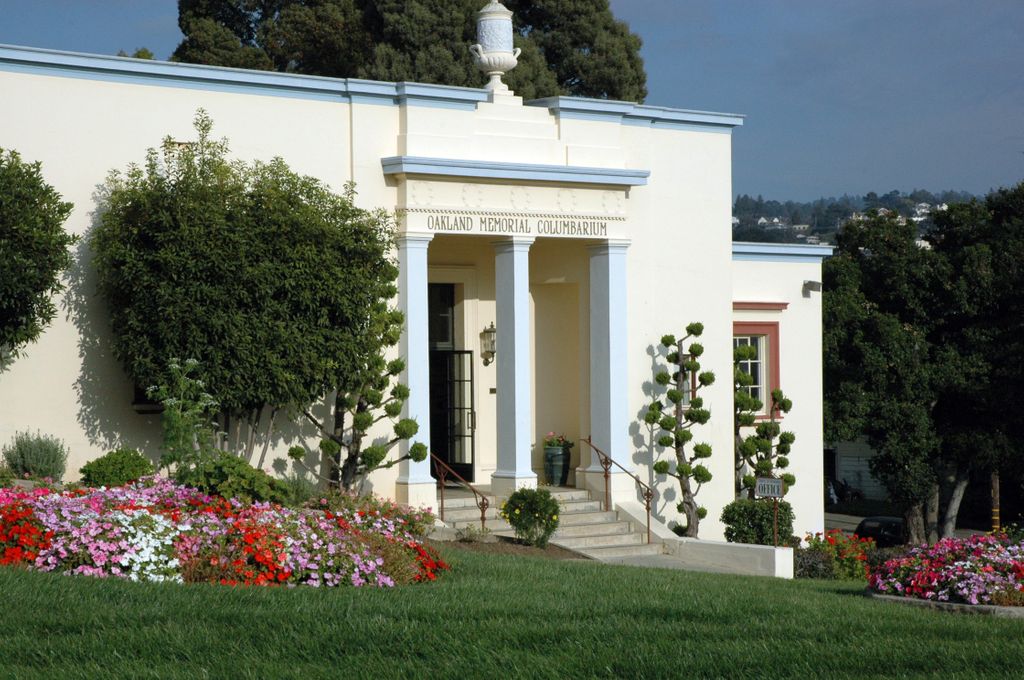
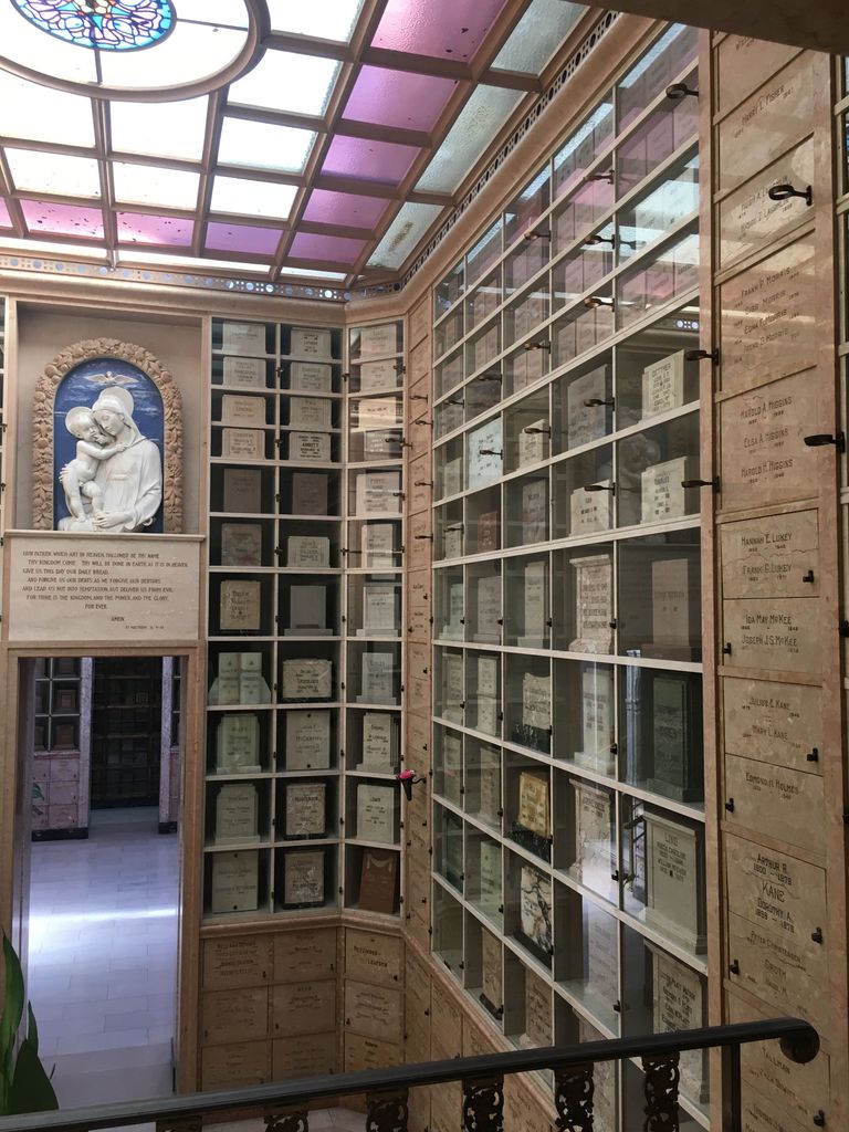
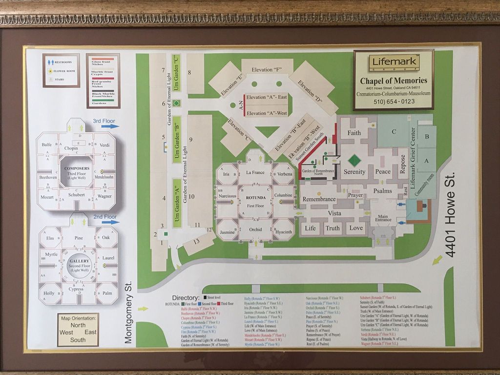
| Description | : | Chapel of Memories is a columbarium/mausoleum owned by Chapel of the Chimes, which has another, larger facility around the block. Chapel of Memories is a separate facility, however. |
frequently asked questions (FAQ):
-
Where is Chapel of Memories Columbarium?
Chapel of Memories Columbarium is located at 4401 Howe Street Oakland, Alameda County ,California , 94611USA.
-
Chapel of Memories Columbarium cemetery's updated grave count on graveviews.com?
4513 memorials
-
Where are the coordinates of the Chapel of Memories Columbarium?
Latitude: 37.8310471
Longitude: -122.2480927
Nearby Cemetories:
1. Chapel of the Chimes Columbarium and Mausoleum
Oakland, Alameda County, USA
Coordinate: 37.8318863, -122.2456894
2. Home of Eternity Cemetery
Oakland, Alameda County, USA
Coordinate: 37.8322970, -122.2448270
3. Saint Mary's Cemetery
Oakland, Alameda County, USA
Coordinate: 37.8349991, -122.2418976
4. Mountain View Cemetery
Oakland, Alameda County, USA
Coordinate: 37.8327600, -122.2395200
5. Cathedral of Christ the Light Mausoleum
Oakland, Alameda County, USA
Coordinate: 37.8105316, -122.2633896
6. Saint Paul Lutheran Church
Oakland, Alameda County, USA
Coordinate: 37.8020820, -122.2222780
7. Home of Peace Cemetery
Oakland, Alameda County, USA
Coordinate: 37.7790604, -122.2036285
8. Northbrae Community Church Columbarium
Berkeley, Alameda County, USA
Coordinate: 37.8905500, -122.2763200
9. Sunnyside Cemetery
Oakland, Alameda County, USA
Coordinate: 37.7806260, -122.1822410
10. Golden Gate Fields
Albany, Alameda County, USA
Coordinate: 37.8854000, -122.3117000
11. Evergreen Cemetery
Oakland, Alameda County, USA
Coordinate: 37.7719002, -122.1782990
12. Golden Gate Mausoleum and Columbaria
El Cerrito, Contra Costa County, USA
Coordinate: 37.9073150, -122.2857220
13. Sunset View Cemetery
El Cerrito, Contra Costa County, USA
Coordinate: 37.9077721, -122.2871017
14. Lafayette-Orinda Presbyterian Church Garden
Contra Costa County, USA
Coordinate: 37.8866040, -122.1606950
15. Saint Stephens Episcopal Church Memorial Garden
Orinda, Contra Costa County, USA
Coordinate: 37.8982650, -122.1729170
16. Yerba Buena Island Cemetery (Defunct)
San Francisco, San Francisco County, USA
Coordinate: 37.8127420, -122.3707880
17. First Street Cemetery (Defunct)
San Francisco, San Francisco County, USA
Coordinate: 37.7906170, -122.3991770
18. Bush Street Cemetery (Defunct)
San Francisco, San Francisco County, USA
Coordinate: 37.7907950, -122.4011960
19. Gan Shalom Cemetery
Contra Costa County, USA
Coordinate: 37.9528122, -122.1975098
20. Saint Anselms Episcopal Church Columbarium
Lafayette, Contra Costa County, USA
Coordinate: 37.8737230, -122.0933820
21. Old Saint Marys Cathedral Crypt
San Francisco, San Francisco County, USA
Coordinate: 37.7929010, -122.4058220
22. Lafayette Cemetery
Lafayette, Contra Costa County, USA
Coordinate: 37.8964005, -122.0986023
23. Grace Cathedral Columbarium
San Francisco, San Francisco County, USA
Coordinate: 37.7921110, -122.4133220
24. Yerba Buena Cemetery (Defunct)
San Francisco, San Francisco County, USA
Coordinate: 37.7792015, -122.4124985