
| Memorials | : | 5 |
| Location | : | Washington Township, Clinton County, USA |
| Coordinate | : | 39.3670100, -83.7696500 |
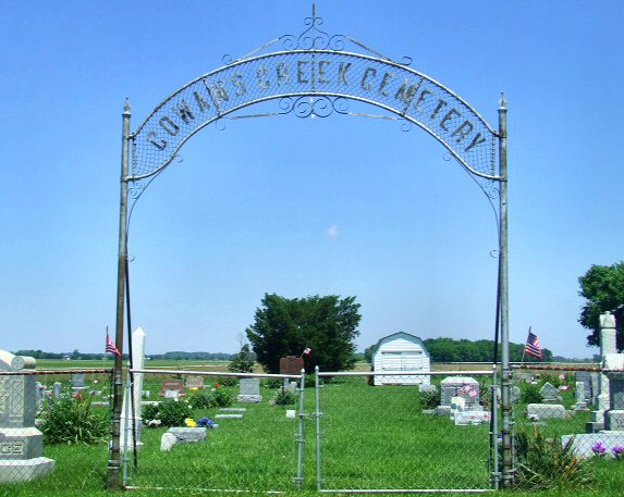
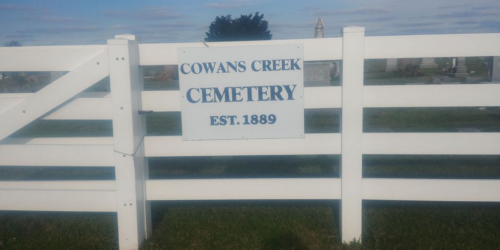
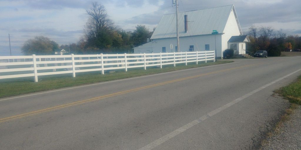
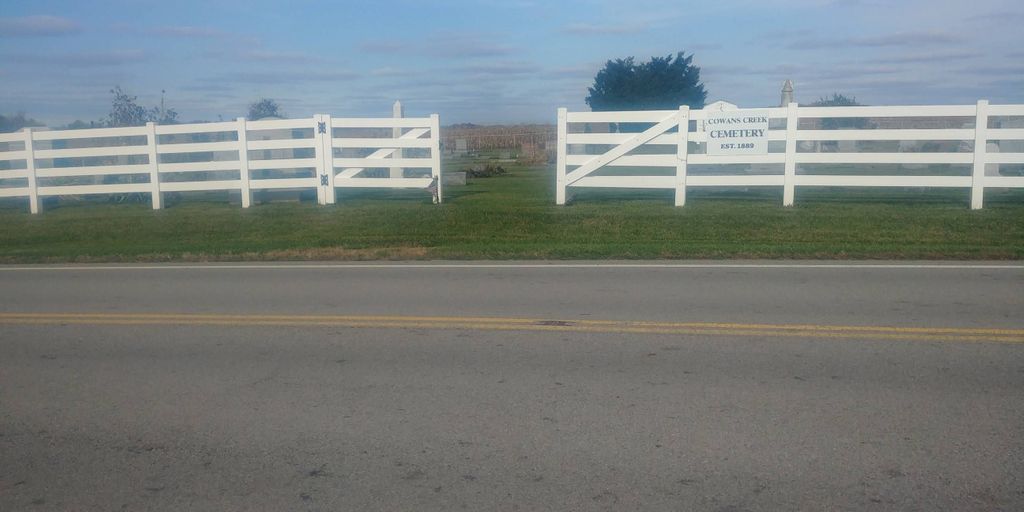
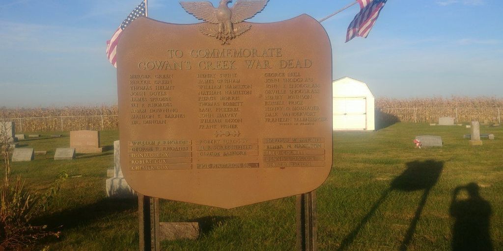
| Description | : | The cemetery is located on the northwest corner of the intersection of Farmers Road (County Road 7) and Steele Road (Township Road 159). The cemetery is located in Washington Township, Clinton County, Ohio, and is # 2018 (Cowan Creek Cemetery) in “Ohio Cemeteries 1803-2003”, compiled by the Ohio Genealogical Society. The cemetery is registered with the Ohio Division of Real Estate and Professional Licensing (ODRE) as Cowan Creek Cemetery with registration license number CGR.0000982485. The U.S. Geological Survey (USGS) Geographic Names Information System (GNIS) feature ID for the cemetery is 1963043 (Cowan Creek Cemetery). |
frequently asked questions (FAQ):
-
Where is Cowan Creek Cemetery?
Cowan Creek Cemetery is located at Farmers Road and Steele Road Washington Township, Clinton County ,Ohio , 45177USA.
-
Cowan Creek Cemetery cemetery's updated grave count on graveviews.com?
5 memorials
-
Where are the coordinates of the Cowan Creek Cemetery?
Latitude: 39.3670100
Longitude: -83.7696500
Nearby Cemetories:
1. Bethel Lane Cemetery
Morrisville, Clinton County, USA
Coordinate: 39.3779984, -83.8059998
2. Lieurance Cemetery
Washington Township, Clinton County, USA
Coordinate: 39.3746986, -83.8244019
3. New Antioch Cemetery
New Antioch, Clinton County, USA
Coordinate: 39.4103394, -83.7501984
4. Swingley Farm Cemetery
Green Township, Clinton County, USA
Coordinate: 39.3475370, -83.7105670
5. Martinsville Friends Cemetery
Martinsville, Clinton County, USA
Coordinate: 39.3229400, -83.8102800
6. Martinsville IOOF Cemetery
Martinsville, Clinton County, USA
Coordinate: 39.3189011, -83.8022003
7. Turner Cemetery
Martinsville, Clinton County, USA
Coordinate: 39.3188100, -83.8032770
8. Johnson Family Cemetery
Farmers, Clinton County, USA
Coordinate: 39.3092000, -83.7596000
9. Mann Farm Cemetery
Washington Township, Clinton County, USA
Coordinate: 39.3478970, -83.8463420
10. Charles E Fife Farm Cemetery (Defunct)
Wilmington, Clinton County, USA
Coordinate: 39.4307650, -83.7528970
11. East Fork Quaker Cemetery
New Vienna, Clinton County, USA
Coordinate: 39.3316000, -83.6968100
12. Betterton Farm Cemetery
Clark Township, Clinton County, USA
Coordinate: 39.3002990, -83.7638850
13. Achor Cemetery
New Vienna, Clinton County, USA
Coordinate: 39.3059998, -83.7320023
14. New Vienna IOOF Cemetery
New Vienna, Clinton County, USA
Coordinate: 39.3284120, -83.6913350
15. West Chapel Cemetery
Clark Township, Clinton County, USA
Coordinate: 39.2942009, -83.7605972
16. Shockley-Ross Cemetery
Highland County, USA
Coordinate: 39.3157997, -83.6905975
17. Moore-Johns Cemetery
Cuba, Clinton County, USA
Coordinate: 39.3474600, -83.8772500
18. Fetterling Cemetery
Highland County, USA
Coordinate: 39.2882996, -83.7238998
19. Texas Cemetery
Wayne Township, Clinton County, USA
Coordinate: 39.4371580, -83.7037800
20. Sugar Grove Cemetery
Wilmington, Clinton County, USA
Coordinate: 39.4408080, -83.8329850
21. Burnett Cemetery
Highland County, USA
Coordinate: 39.3306007, -83.6619034
22. Wilson Cemetery
Union Township, Clinton County, USA
Coordinate: 39.4632988, -83.7407990
23. Mount Pleasant Cemetery
Vernon Township, Clinton County, USA
Coordinate: 39.3806000, -83.8972015
24. Mount Olive Cemetery
Lynchburg, Highland County, USA
Coordinate: 39.2843990, -83.6971970