
| Memorials | : | 1 |
| Location | : | Cuba, Clinton County, USA |
| Coordinate | : | 39.3474600, -83.8772500 |
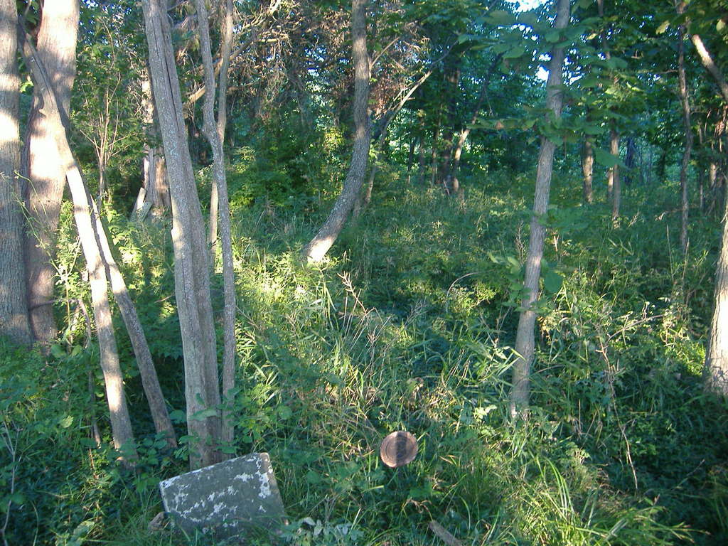
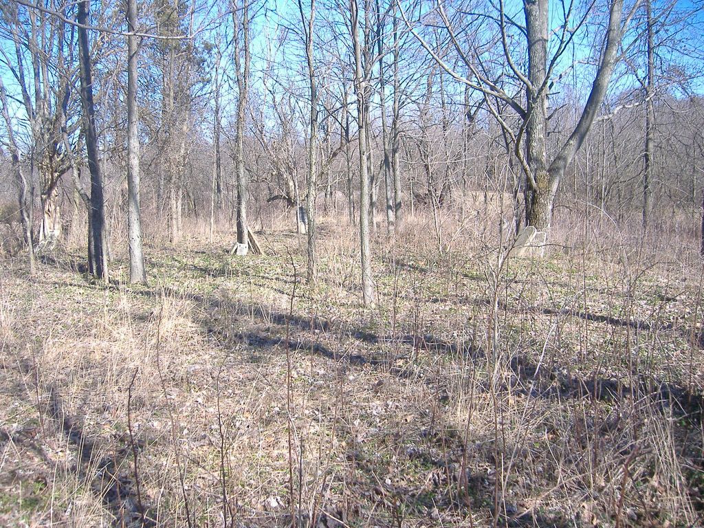
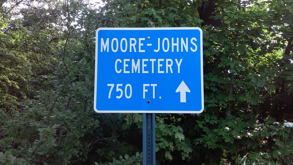
| Description | : | The cemetery is on the northwest side of Kuebler Road (Township Road 235) about 60 feet from the road at a point 2000 feet southeast of its intersection with US 68. The cemetery is located in Washington Township, Clinton County, Ohio, and is # 2020 (Johns–Moore Cemetery) in “Ohio Cemeteries 1803-2003”, compiled by the Ohio Genealogical Society. The U.S. Geological Survey (USGS) Geographic Names Information System (GNIS) feature ID for the cemetery is 1043471 (Moore-Johns Cemetery / Johns Cemetery). |
frequently asked questions (FAQ):
-
Where is Moore-Johns Cemetery?
Moore-Johns Cemetery is located at 281 - 451 Kuebler Road (Township Road 235) Cuba, Clinton County ,Ohio , 45107USA.
-
Moore-Johns Cemetery cemetery's updated grave count on graveviews.com?
1 memorials
-
Where are the coordinates of the Moore-Johns Cemetery?
Latitude: 39.3474600
Longitude: -83.8772500
Nearby Cemetories:
1. Mann Farm Cemetery
Washington Township, Clinton County, USA
Coordinate: 39.3478970, -83.8463420
2. Mount Pleasant Cemetery
Vernon Township, Clinton County, USA
Coordinate: 39.3806000, -83.8972015
3. Jefferson Township Unidentified Cemetery #1
Jefferson Township, Clinton County, USA
Coordinate: 39.3143720, -83.9028310
4. Rehobath Cemetery
Blanchester, Clinton County, USA
Coordinate: 39.3512000, -83.9292000
5. Lieurance Cemetery
Washington Township, Clinton County, USA
Coordinate: 39.3746986, -83.8244019
6. Martinsville Friends Cemetery
Martinsville, Clinton County, USA
Coordinate: 39.3229400, -83.8102800
7. Bethel Lane Cemetery
Morrisville, Clinton County, USA
Coordinate: 39.3779984, -83.8059998
8. Turner Cemetery
Martinsville, Clinton County, USA
Coordinate: 39.3188100, -83.8032770
9. Martinsville IOOF Cemetery
Martinsville, Clinton County, USA
Coordinate: 39.3189011, -83.8022003
10. Westboro Friends Cemetery
Westboro, Clinton County, USA
Coordinate: 39.2849998, -83.9013977
11. Westboro IOOF Cemetery
Westboro, Clinton County, USA
Coordinate: 39.2845700, -83.9042900
12. Second Creek Cemetery
Blanchester, Clinton County, USA
Coordinate: 39.3164800, -83.9551600
13. Sewell Cemetery
Clarksville, Clinton County, USA
Coordinate: 39.3782997, -83.9552994
14. Vernon Baptist Cemetery
Vernon Township, Clinton County, USA
Coordinate: 39.3873890, -83.9667060
15. Cowan Creek Cemetery
Washington Township, Clinton County, USA
Coordinate: 39.3670100, -83.7696500
16. Jenks Cemetery
Clarksville, Clinton County, USA
Coordinate: 39.4233322, -83.9319534
17. Clarksville Friends Cemetery
Clarksville, Clinton County, USA
Coordinate: 39.4022835, -83.9749430
18. Lytle Creek Cemetery
Clarksville, Clinton County, USA
Coordinate: 39.4406320, -83.8921200
19. Clarksville Cemetery
Clarksville, Clinton County, USA
Coordinate: 39.3972900, -83.9841100
20. Johnson Family Cemetery
Farmers, Clinton County, USA
Coordinate: 39.3092000, -83.7596000
21. Harris Cemetery
Vernon Township, Clinton County, USA
Coordinate: 39.4196170, -83.9644500
22. Sligo Cemetery
Adams Township, Clinton County, USA
Coordinate: 39.4384850, -83.9270960
23. Sugar Grove Cemetery
Wilmington, Clinton County, USA
Coordinate: 39.4408080, -83.8329850
24. Betterton Farm Cemetery
Clark Township, Clinton County, USA
Coordinate: 39.3002990, -83.7638850