
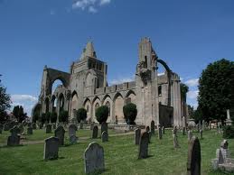
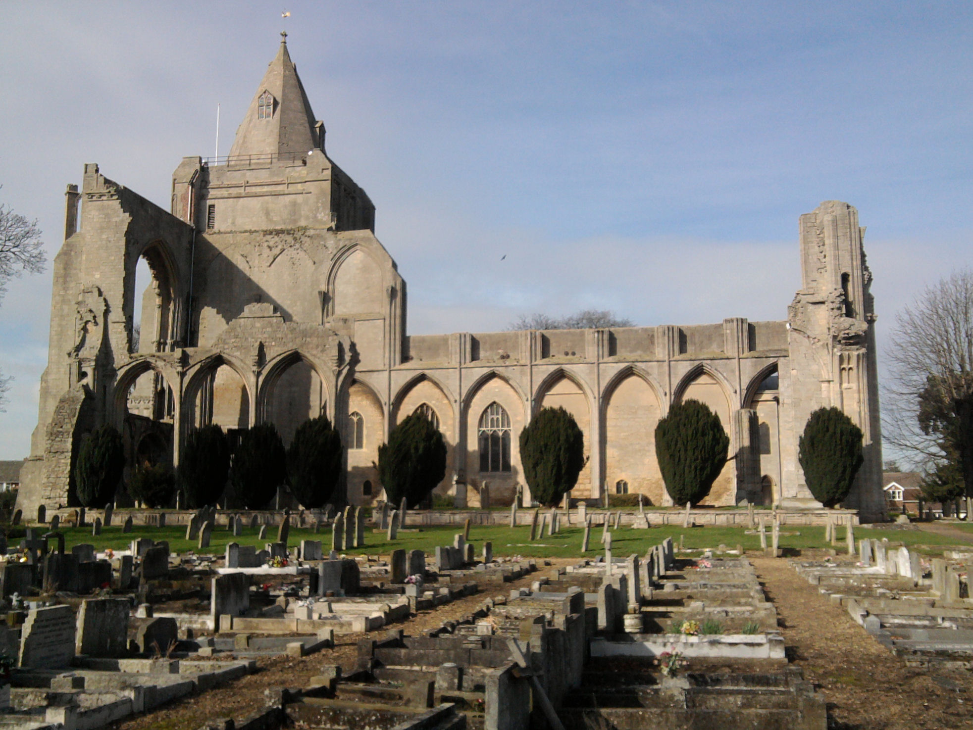
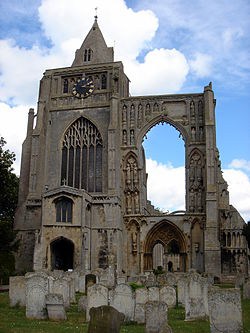
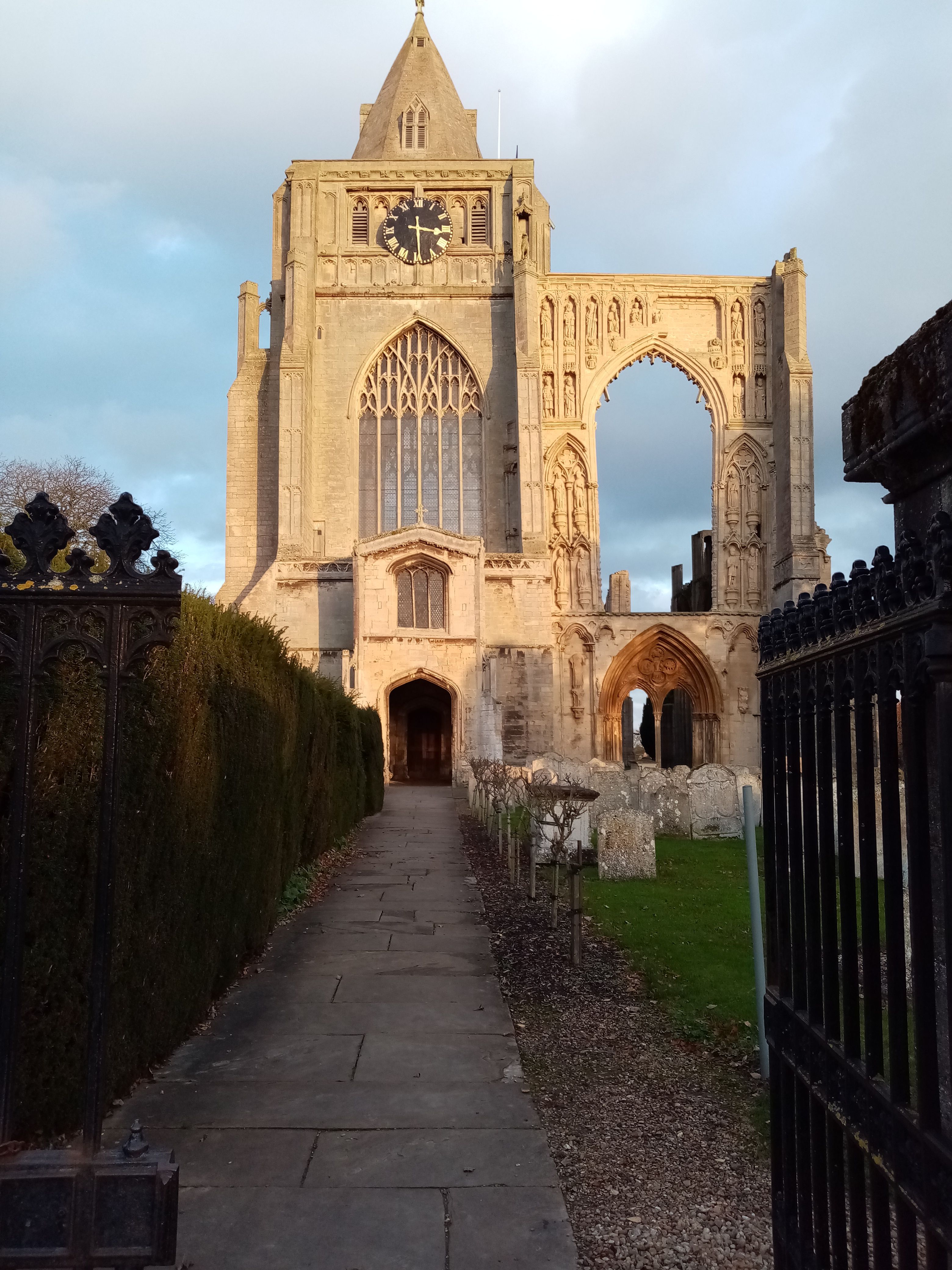
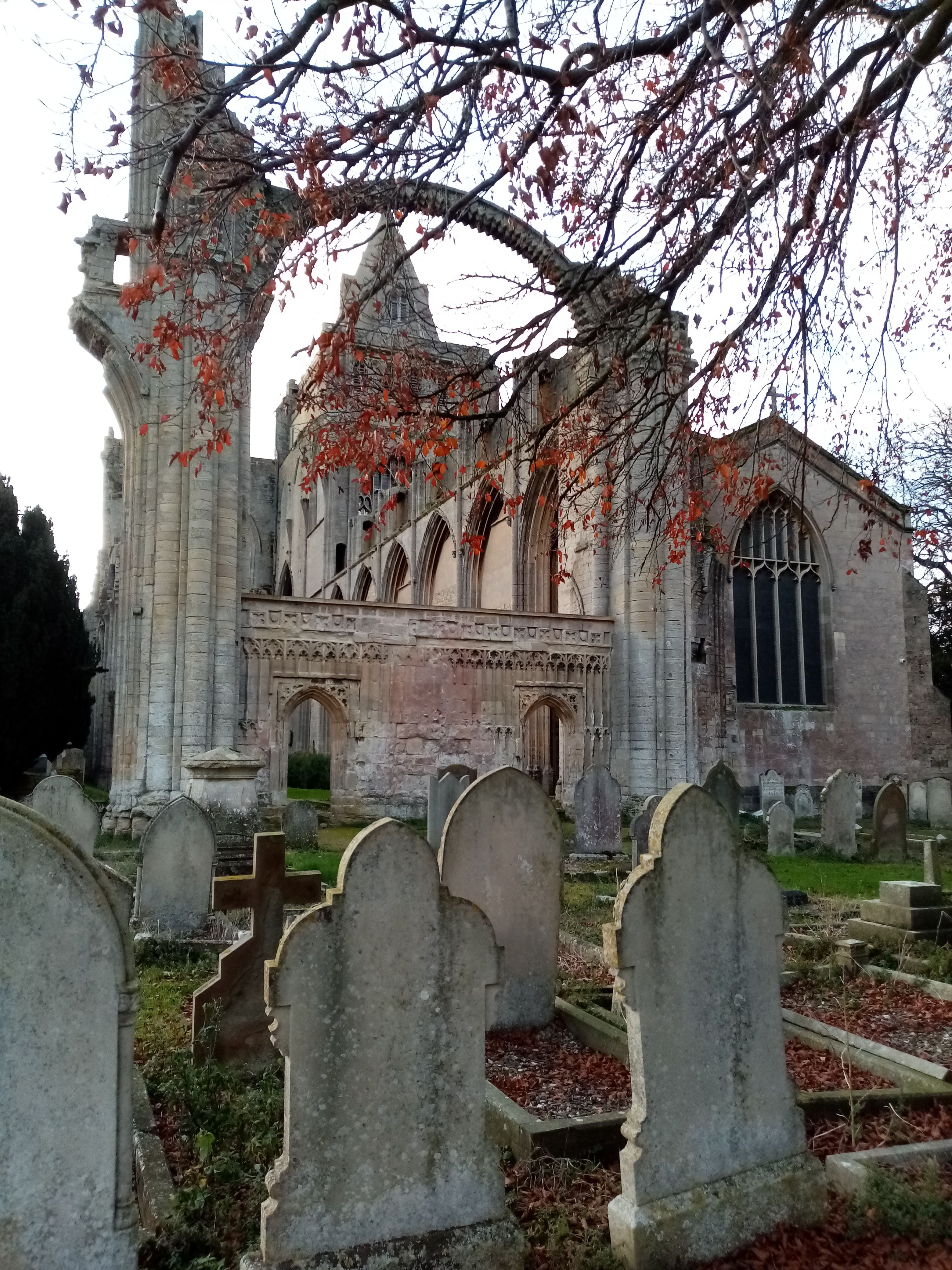
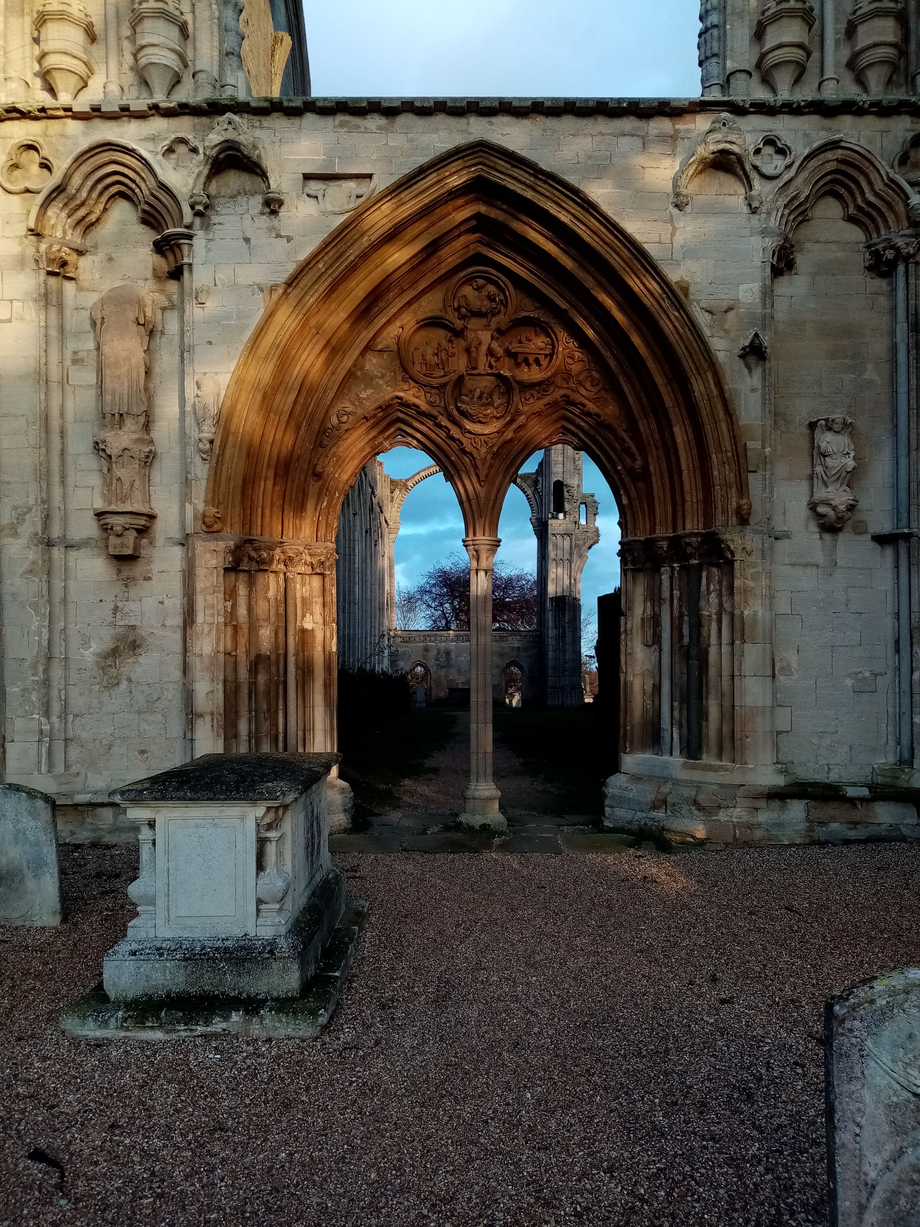
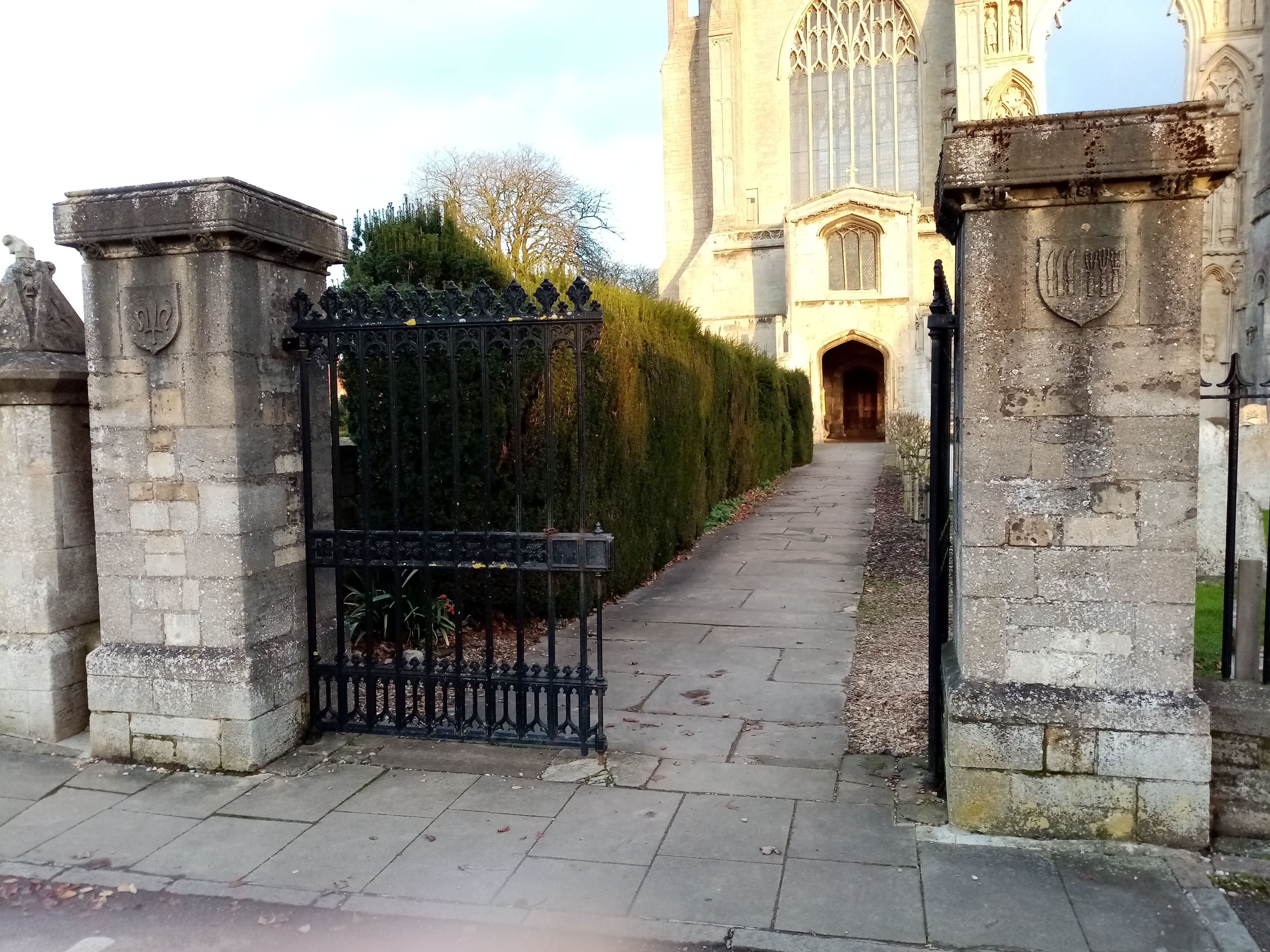
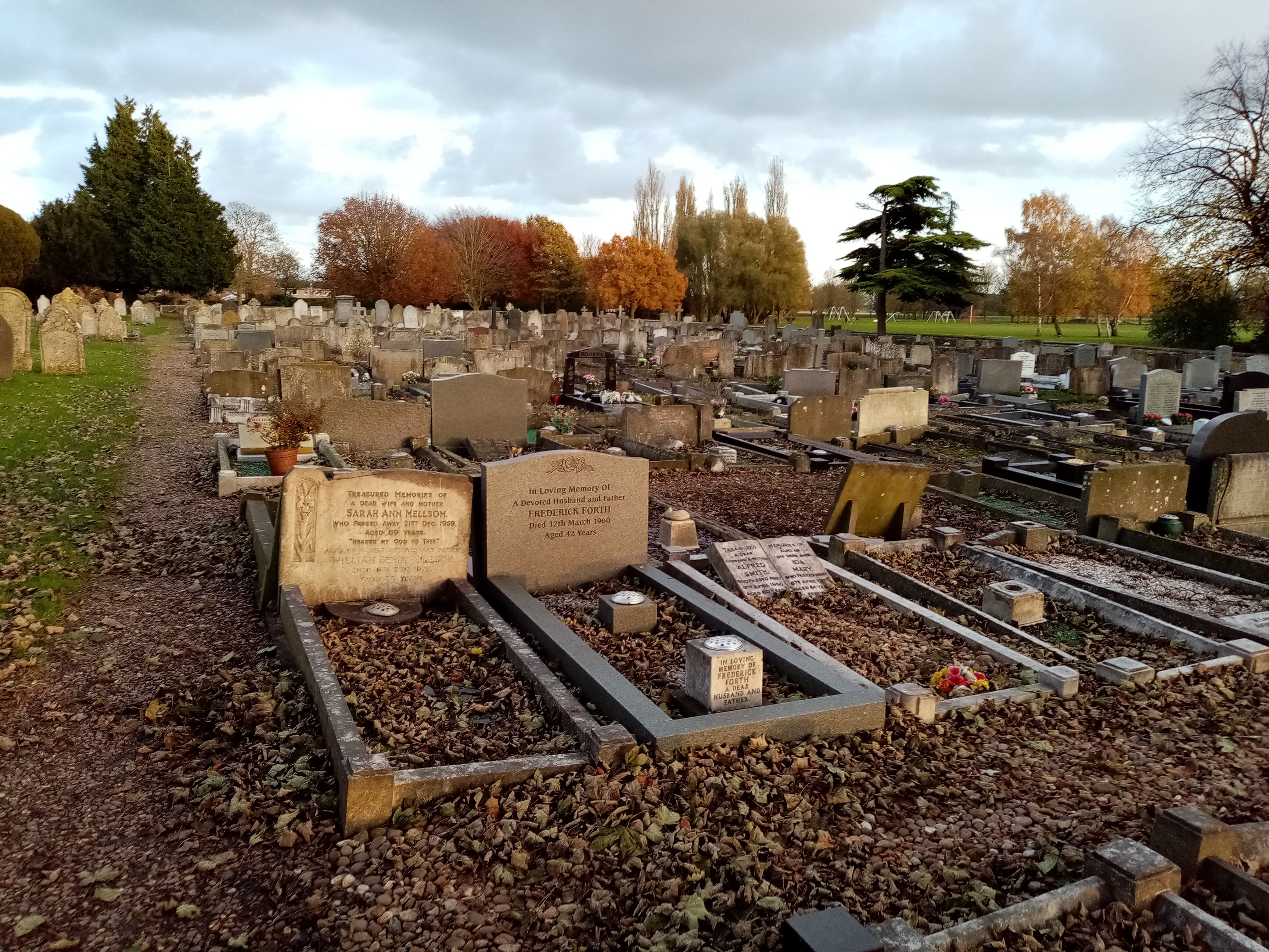
| Memorials | : | 19 |
| Location | : | Crowland, South Holland District, England |
| Coordinate | : | 52.6763800, -0.1654240 |
frequently asked questions (FAQ):
-
Where is Crowland Abbey?
Crowland Abbey is located at Crowland, South Holland District ,Lincolnshire ,England.
-
Crowland Abbey cemetery's updated grave count on graveviews.com?
18 memorials
-
Where are the coordinates of the Crowland Abbey?
Latitude: 52.6763800
Longitude: -0.1654240
Nearby Cemetories:
1. St Bartholomew Churchyard
Newborough, Peterborough Unitary Authority, England
Coordinate: 52.6385360, -0.2223780
2. Thorney Abbey
Thorney, Peterborough Unitary Authority, England
Coordinate: 52.6204590, -0.1072060
3. St. Mary and St. Botolph Churchyard
Thorney, Peterborough Unitary Authority, England
Coordinate: 52.6204260, -0.1069770
4. Eye Cemetery
Eye, Peterborough Unitary Authority, England
Coordinate: 52.6110938, -0.1859580
5. Saint Matthew's Churchyard
Eye, Peterborough Unitary Authority, England
Coordinate: 52.6094813, -0.1866602
6. Thorney Cemetery
Thorney, Peterborough Unitary Authority, England
Coordinate: 52.6163700, -0.1044200
7. Saint Pegas Churchyard
Peakirk, Peterborough Unitary Authority, England
Coordinate: 52.6454940, -0.2744530
8. St. James Churchyard
Deeping St James, South Kesteven District, England
Coordinate: 52.6716980, -0.2896360
9. St. James Cemetery
Deeping St James, South Kesteven District, England
Coordinate: 52.6716340, -0.2899500
10. St. John the Baptist Churchyard
Whaplode Drove, South Holland District, England
Coordinate: 52.7034435, -0.0476688
11. St. Andrew's Churchyard
Northborough, Peterborough Unitary Authority, England
Coordinate: 52.6571000, -0.2974630
12. Saint Benedict Churchyard
Glinton, Peterborough Unitary Authority, England
Coordinate: 52.6392160, -0.2959420
13. Glinton Cemetery
Glinton, Peterborough Unitary Authority, England
Coordinate: 52.6374399, -0.2947420
14. Holy Trinity Churchyard
Gedney Hill, South Holland District, England
Coordinate: 52.6826080, -0.0211840
15. All Saints Churchyard
Paston, Peterborough Unitary Authority, England
Coordinate: 52.6053690, -0.2576130
16. Saint John the Baptist Churchyard
Werrington, Peterborough Unitary Authority, England
Coordinate: 52.6134500, -0.2734500
17. St Medard and St Gildard Churchyard
Little Bytham, South Kesteven District, England
Coordinate: 52.6786110, -0.3200000
18. Eastfield Cemetery
Peterborough, Peterborough Unitary Authority, England
Coordinate: 52.5890690, -0.2225360
19. Peterborough Crematorium
Bretton, Peterborough Unitary Authority, England
Coordinate: 52.6047280, -0.2915090
20. Broadway Cemetery
Peterborough, Peterborough Unitary Authority, England
Coordinate: 52.5796750, -0.2350260
21. St Michael and All Angels Churchyard
Langtoft, South Kesteven District, England
Coordinate: 52.6990300, -0.3389800
22. St. Peter's Churchyard
Maxey, Peterborough Unitary Authority, England
Coordinate: 52.6575500, -0.3455940
23. Peterborough Cathedral
Peterborough, Peterborough Unitary Authority, England
Coordinate: 52.5725280, -0.2392390
24. St Mary The Virgin Churchyard
Marholm, Peterborough Unitary Authority, England
Coordinate: 52.6029760, -0.3089570