
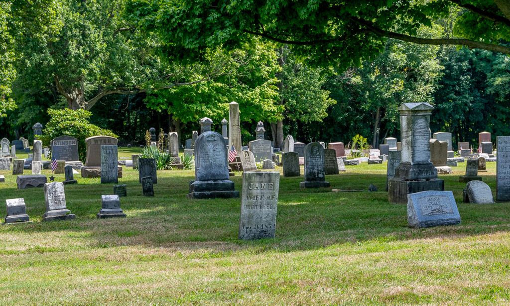
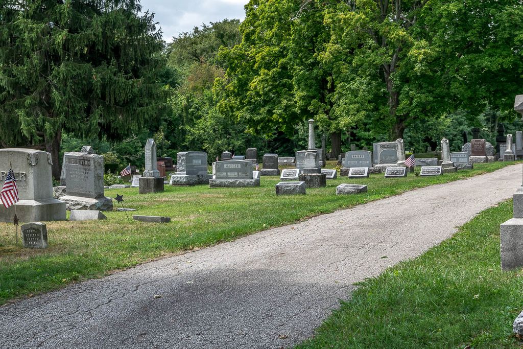
| Memorials | : | 50 |
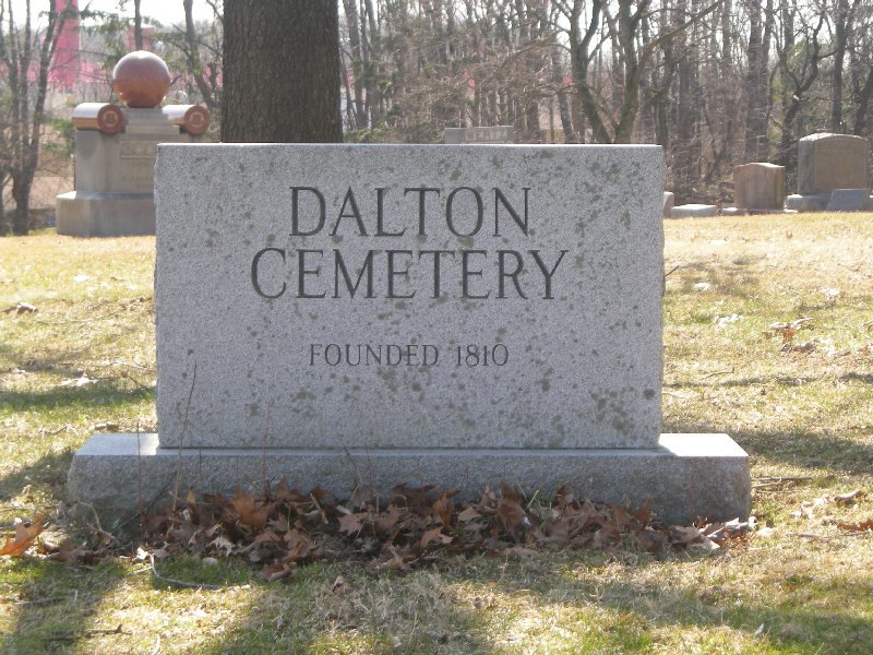
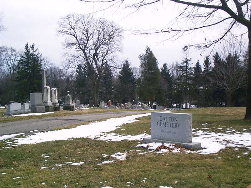
| Location | : | Dalton, Wayne County, USA |
| Coordinate | : | 40.7972500, -81.6987500 |
| Description | : | Located at the south end of Church Street, south of West Main Street in Sugar Creek Township. |
frequently asked questions (FAQ):
-
Where is Dalton Cemetery?
Dalton Cemetery is located at South Church Street Dalton, Wayne County ,Ohio , 44618USA.
-
Dalton Cemetery cemetery's updated grave count on graveviews.com?
46 memorials
-
Where are the coordinates of the Dalton Cemetery?
Latitude: 40.7972500
Longitude: -81.6987500
Nearby Cemetories:
1. Arnold Cemetery
Kidron, Wayne County, USA
Coordinate: 40.7853012, -81.7335968
2. Martins Mennonite Cemetery
Orrville, Wayne County, USA
Coordinate: 40.8214989, -81.7323990
3. Van Kirk Cemetery
Orrville, Wayne County, USA
Coordinate: 40.8222008, -81.7399979
4. Bethel Mennonite Cemetery
Riceland, Wayne County, USA
Coordinate: 40.7784004, -81.7465973
5. Sonnenberg Pioneer Cemetery
Kidron, Wayne County, USA
Coordinate: 40.7600010, -81.7210720
6. New Life Chapel Cemetery
Dalton, Wayne County, USA
Coordinate: 40.7626200, -81.6680700
7. Pleasant Valley Cemetery
Wayne County, USA
Coordinate: 40.7622986, -81.6677017
8. County Line Mennonite Cemetery
Wayne County, USA
Coordinate: 40.8218002, -81.6483994
9. Salem Mennonite Church Cemetery
Kidron, Wayne County, USA
Coordinate: 40.7589989, -81.7321014
10. Sonnenberg Mennonite Cemetery
Kidron, Wayne County, USA
Coordinate: 40.7561989, -81.7267990
11. Gallagher Settlement Cemetery
Burton City, Wayne County, USA
Coordinate: 40.8365280, -81.6623890
12. East Greenville Cemetery
East Greenville, Stark County, USA
Coordinate: 40.8006100, -81.6270700
13. Pleasant View Church Cemetery
North Lawrence, Stark County, USA
Coordinate: 40.8256111, -81.6312332
14. Kidron Mennonite Church Cemetery
Kidron, Wayne County, USA
Coordinate: 40.7507019, -81.7462997
15. Stanwood Cemetery
Stanwood, Stark County, USA
Coordinate: 40.7591019, -81.6340027
16. Carr Cemetery
Riceland, Wayne County, USA
Coordinate: 40.7965870, -81.7843170
17. Orr Cemetery
Orrville, Wayne County, USA
Coordinate: 40.8424890, -81.7615440
18. Fountain Hill Cemetery
Wayne County, USA
Coordinate: 40.8011017, -81.7855988
19. Ananias Hershberger Farm Cemetery
West Lebanon, Wayne County, USA
Coordinate: 40.7350190, -81.6700240
20. East Union Mennonite Church Cemetery
Orrville, Wayne County, USA
Coordinate: 40.7969820, -81.7865610
21. Aaron Troyer Cemetery
East Union Township, Wayne County, USA
Coordinate: 40.7667520, -81.7788700
22. Sugar Creek Township Cemetery
West Lebanon, Wayne County, USA
Coordinate: 40.7294998, -81.6688004
23. Sixteen Church Cemetery
Massillon, Stark County, USA
Coordinate: 40.7882996, -81.6025009
24. West Lebanon Union Cemetery
West Lebanon, Wayne County, USA
Coordinate: 40.7262170, -81.6736130