
| Memorials | : | 117 |
| Location | : | Stanwood, Stark County, USA |
| Coordinate | : | 40.7591019, -81.6340027 |
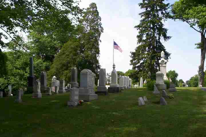
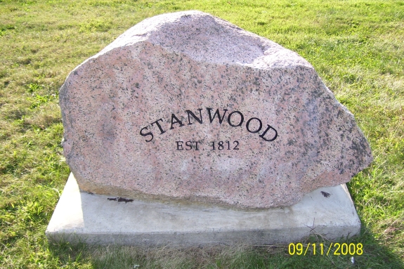
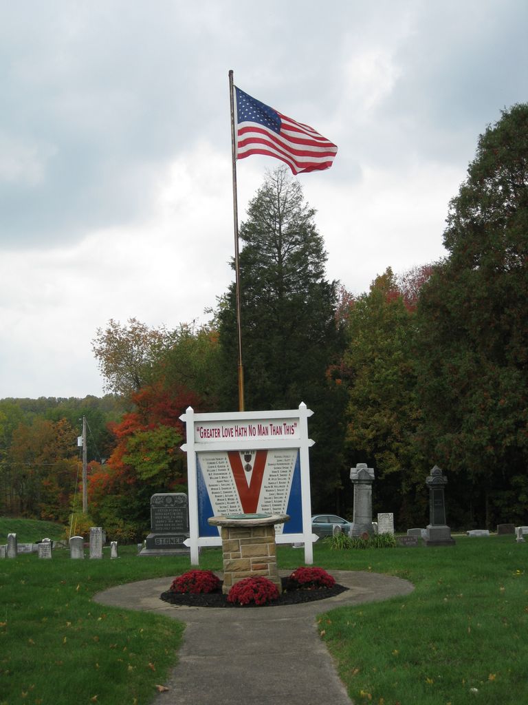
| Description | : | The cemetery is located on the northwest corner of the intersection of Alabama Street SW (Township Road 314) and Stanwood Street SW (Township Road 328). The cemetery is located in Tuscarawas Township, Stark County, Ohio, and is # 11451 (Stanwood Cemetery) in “Ohio Cemeteries 1803-2003”, compiled by the Ohio Genealogical Society. The U.S. Geological Survey (USGS) Geographic Names Information System (GNIS) feature ID for the cemetery is 1730909 (Stanwood Cemetery). |
frequently asked questions (FAQ):
-
Where is Stanwood Cemetery?
Stanwood Cemetery is located at Alabama Street SW and Stanwood Street SW Stanwood, Stark County ,Ohio , 44618USA.
-
Stanwood Cemetery cemetery's updated grave count on graveviews.com?
116 memorials
-
Where are the coordinates of the Stanwood Cemetery?
Latitude: 40.7591019
Longitude: -81.6340027
Nearby Cemetories:
1. Pleasant Valley Cemetery
Wayne County, USA
Coordinate: 40.7622986, -81.6677017
2. New Life Chapel Cemetery
Dalton, Wayne County, USA
Coordinate: 40.7626200, -81.6680700
3. McFarren Cemetery
Brewster, Stark County, USA
Coordinate: 40.7233900, -81.6254000
4. Ananias Hershberger Farm Cemetery
West Lebanon, Wayne County, USA
Coordinate: 40.7350190, -81.6700240
5. Sixteen Church Cemetery
Massillon, Stark County, USA
Coordinate: 40.7882996, -81.6025009
6. Sugar Creek Township Cemetery
West Lebanon, Wayne County, USA
Coordinate: 40.7294998, -81.6688004
7. Boughman Cemetery
Brewster, Stark County, USA
Coordinate: 40.7216650, -81.6145560
8. West Lebanon Lutheran Cemetery
West Lebanon, Wayne County, USA
Coordinate: 40.7258987, -81.6653976
9. East Greenville Cemetery
East Greenville, Stark County, USA
Coordinate: 40.8006100, -81.6270700
10. Pigeon Run Cemetery
Stark County, USA
Coordinate: 40.7495000, -81.5781800
11. West Lebanon Union Cemetery
West Lebanon, Wayne County, USA
Coordinate: 40.7262170, -81.6736130
12. Armstrong Cemetery
Stark County, USA
Coordinate: 40.7510986, -81.5635986
13. Simon Farm Cemetery
Mount Eaton, Wayne County, USA
Coordinate: 40.7068890, -81.6532220
14. Crossroads Union Cemetery
Crossroads, Stark County, USA
Coordinate: 40.7271004, -81.5736008
15. Pleasant Grove Cemetery
Minerva, Stark County, USA
Coordinate: 40.7018190, -81.6339770
16. Baughman Cemetery
Navarre, Stark County, USA
Coordinate: 40.7425600, -81.5565100
17. Trinity Lutheran Cemetery
Massillon, Stark County, USA
Coordinate: 40.7953560, -81.5688790
18. Myers Cemetery
Stark County, USA
Coordinate: 40.7703400, -81.5542900
19. Dalton Cemetery
Dalton, Wayne County, USA
Coordinate: 40.7972500, -81.6987500
20. County Line Mennonite Cemetery
Wayne County, USA
Coordinate: 40.8218002, -81.6483994
21. Reed Cemetery
Brewster, Stark County, USA
Coordinate: 40.7039500, -81.5901200
22. Saint Barbara Cemetery
Massillon, Stark County, USA
Coordinate: 40.7935982, -81.5614014
23. Brookfield Cemetery
Massillon, Stark County, USA
Coordinate: 40.8011093, -81.5677795
24. Sonnenberg Pioneer Cemetery
Kidron, Wayne County, USA
Coordinate: 40.7600010, -81.7210720