
| Memorials | : | 1 |
| Location | : | Hebron, Thayer County, USA |
| Coordinate | : | 40.1181500, -97.5437200 |
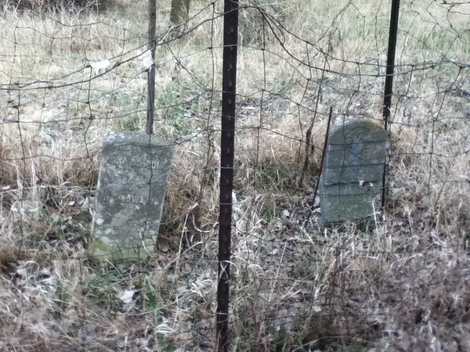
| Description | : | Located on Hwy 81 (2 miles south of Hebron); turn east on Hwy 136; go 1.6 miles then turn right on 2nd gravel to the South. Go exactly 2 miles, turn right into a field, go directly west across the field to a clump of trees. There is a large mulberry tree on the northeast corner of the trees. Dry creek runs just to the west of the graves. (This information is from Jackie Williamson at the Thayer County Historical Society.) |
frequently asked questions (FAQ):
-
Where is Dan Schafer Family Farm Cemetery?
Dan Schafer Family Farm Cemetery is located at 6375 J Road Hebron, Thayer County ,Nebraska ,USA.
-
Dan Schafer Family Farm Cemetery cemetery's updated grave count on graveviews.com?
1 memorials
-
Where are the coordinates of the Dan Schafer Family Farm Cemetery?
Latitude: 40.1181500
Longitude: -97.5437200
Nearby Cemetories:
1. King David Fisher Gravesite
Hebron, Thayer County, USA
Coordinate: 40.1509440, -97.5438060
2. Thayer County Poor Farm Cemetery
Hebron, Thayer County, USA
Coordinate: 40.1585900, -97.5173370
3. Saint Mark Evangelical Lutheran Cemetery
Thayer County, USA
Coordinate: 40.1331500, -97.6205900
4. Old Hebron Cemetery
Hebron, Thayer County, USA
Coordinate: 40.1758003, -97.5852966
5. Hebron City Cemetery
Hebron, Thayer County, USA
Coordinate: 40.1753006, -97.5877991
6. Sacred Heart Cemetery
Hebron, Thayer County, USA
Coordinate: 40.1767006, -97.5880966
7. Saint Paul's Lutheran Church Cemetery
Gilead, Thayer County, USA
Coordinate: 40.1108000, -97.4449000
8. Rose Hill Cemetery
Hebron, Thayer County, USA
Coordinate: 40.1889000, -97.5960999
9. Saint Paul Lutheran Cemetery - Stoddard
Chester, Thayer County, USA
Coordinate: 40.0760300, -97.6515300
10. Kennedy Lone Grave
Gilead, Thayer County, USA
Coordinate: 40.1715900, -97.4425500
11. Zion Lutheran Cemetery
Hubbell, Thayer County, USA
Coordinate: 40.0437400, -97.4629400
12. Letterman Cemetery
Deshler, Thayer County, USA
Coordinate: 40.1614500, -97.6708000
13. Union Cemetery
Gilead, Thayer County, USA
Coordinate: 40.1319008, -97.4047012
14. Saint Johns Lutheran Cemetery
Chester, Thayer County, USA
Coordinate: 40.0167007, -97.5942001
15. Chester Cemetery
Chester, Thayer County, USA
Coordinate: 40.0228004, -97.6121979
16. Mount Gilead Cemetery
Gilead, Thayer County, USA
Coordinate: 40.1906000, -97.4246500
17. Williams Cemetery
Thayer County, USA
Coordinate: 40.0321999, -97.4349976
18. Hubbell Cemetery
Rose Creek Township, Republic County, USA
Coordinate: 40.0000790, -97.5002770
19. Friedensau Cemetery
Hebron, Thayer County, USA
Coordinate: 40.1841100, -97.6895500
20. Deshler City Cemetery
Deshler, Thayer County, USA
Coordinate: 40.1468506, -97.7135620
21. Saint Peter Lutheran Cemetery
Deshler, Thayer County, USA
Coordinate: 40.1464005, -97.7142029
22. Belvidere Rural Cemetery
Belvidere, Thayer County, USA
Coordinate: 40.2559200, -97.5489300
23. Peace Lutheran Cemetery
Deshler, Thayer County, USA
Coordinate: 40.1464005, -97.7213974
24. Rose Creek Cemetery
Rose Creek Township, Thayer County, USA
Coordinate: 40.0705986, -97.3694000