
| Memorials | : | 2 |
| Location | : | Rose Creek Township, Thayer County, USA |
| Coordinate | : | 40.0705986, -97.3694000 |
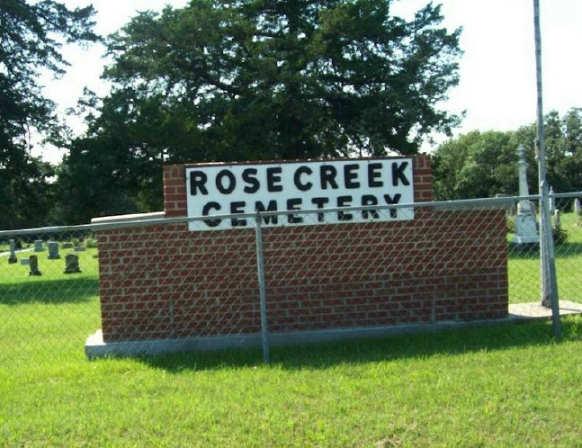
| Description | : | This large cemetery is located on the Thayer County side of the Thayer-Jefferson County line road, 7 miles east of Hubbell, Thayer County, Nebraska on highway #8 and then north 1 mile. |
frequently asked questions (FAQ):
-
Where is Rose Creek Cemetery?
Rose Creek Cemetery is located at Rose Creek Township, Thayer County ,Nebraska ,USA.
-
Rose Creek Cemetery cemetery's updated grave count on graveviews.com?
2 memorials
-
Where are the coordinates of the Rose Creek Cemetery?
Latitude: 40.0705986
Longitude: -97.3694000
Nearby Cemetories:
1. Hunt Family Plot
Reynolds, Jefferson County, USA
Coordinate: 40.0868380, -97.3115940
2. Huber Cemetery
Reynolds, Jefferson County, USA
Coordinate: 40.0493000, -97.3085000
3. Williams Cemetery
Thayer County, USA
Coordinate: 40.0321999, -97.4349976
4. Union Cemetery
Gilead, Thayer County, USA
Coordinate: 40.1319008, -97.4047012
5. Saint Paul's Lutheran Church Cemetery
Gilead, Thayer County, USA
Coordinate: 40.1108000, -97.4449000
6. Zion Lutheran Cemetery
Hubbell, Thayer County, USA
Coordinate: 40.0437400, -97.4629400
7. Grace Lutheran Cemetery
Gladstone, Jefferson County, USA
Coordinate: 40.1620670, -97.3522350
8. Silver Creek Cemetery
Jefferson County, USA
Coordinate: 40.0522003, -97.2367020
9. Zion United Church of Christ Cemetery
Gladstone, Jefferson County, USA
Coordinate: 40.1630000, -97.2910000
10. Kennedy Lone Grave
Gilead, Thayer County, USA
Coordinate: 40.1715900, -97.4425500
11. Maple Grove Cemetery
Narka, Republic County, USA
Coordinate: 39.9728012, -97.4550018
12. Hubbell Cemetery
Rose Creek Township, Republic County, USA
Coordinate: 40.0000790, -97.5002770
13. Pleasant Hill Cemetery
Jefferson County, USA
Coordinate: 40.1595910, -97.2573280
14. Mount Gilead Cemetery
Gilead, Thayer County, USA
Coordinate: 40.1906000, -97.4246500
15. Dan Schafer Family Farm Cemetery
Hebron, Thayer County, USA
Coordinate: 40.1181500, -97.5437200
16. Thayer County Poor Farm Cemetery
Hebron, Thayer County, USA
Coordinate: 40.1585900, -97.5173370
17. Meridian Presbyterian Cemetery
Meridian Township, Jefferson County, USA
Coordinate: 40.2178001, -97.3625031
18. Catholic Cemetery
Alexandria, Thayer County, USA
Coordinate: 40.2202988, -97.3878021
19. Moles Cemetery
Powell, Jefferson County, USA
Coordinate: 40.2015100, -97.2647950
20. King David Fisher Gravesite
Hebron, Thayer County, USA
Coordinate: 40.1509440, -97.5438060
21. Woltemath Lone Grave
Alexandria, Thayer County, USA
Coordinate: 40.2343600, -97.3691800
22. Ida Cemetery
Rose Creek Township, Republic County, USA
Coordinate: 39.9375000, -97.5000000
23. Fairbury Cemetery
Fairbury, Jefferson County, USA
Coordinate: 40.1314011, -97.1557999
24. McCord Boothill Cemetery
Jefferson County, USA
Coordinate: 40.0248222, -97.1463915