
| Memorials | : | 0 |
| Location | : | De Wijk, De Wolden Municipality, Netherlands |
| Coordinate | : | 52.6679600, 6.2860500 |
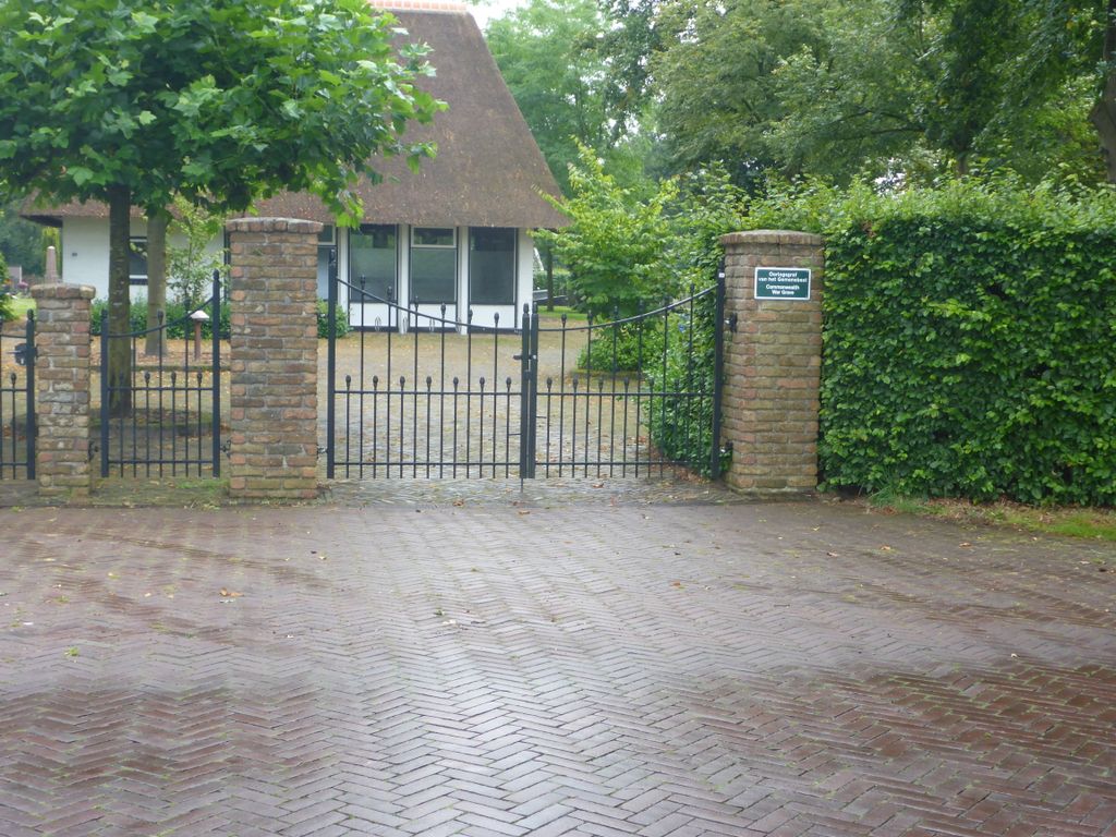
| Description | : | De Wijk is a village and commune in the province of Drenthe, 10 kilometres east of Meppel on the secondary road to Ommen. The cemetery is 500 yards south of the village, on the eastern side of the road to Ijhorst and Staphorst. |
frequently asked questions (FAQ):
-
Where is De Wijk General Cemetery?
De Wijk General Cemetery is located at De Wijk, De Wolden Municipality ,Drenthe ,Netherlands.
-
De Wijk General Cemetery cemetery's updated grave count on graveviews.com?
0 memorials
-
Where are the coordinates of the De Wijk General Cemetery?
Latitude: 52.6679600
Longitude: 6.2860500
Nearby Cemetories:
1. Ijhorst General Cemetery
IJhorst, Staphorst Municipality, Netherlands
Coordinate: 52.6636200, 6.2851200
2. Begraafplaats Berghuizen
Berghuizen, De Wolden Municipality, Netherlands
Coordinate: 52.7145874, 6.2876037
3. Ruinerwold General Cemetery
Ruinerwold, De Wolden Municipality, Netherlands
Coordinate: 52.7133700, 6.2489200
4. Oud-Avereest General Cemetery
Oud-Avereest, Hardenberg Municipality, Netherlands
Coordinate: 52.6200500, 6.3711200
5. Israëlitische Begraafplaats
Meppel, Meppel Municipality, Netherlands
Coordinate: 52.7134680, 6.1898920
6. Rouveen New General Cemetery
Rouveen, Staphorst Municipality, Netherlands
Coordinate: 52.6157100, 6.1842900
7. Nijeveen Old Protestant Churchyard
Nijeveen, Meppel Municipality, Netherlands
Coordinate: 52.7324800, 6.1639500
8. Begraafplaats Havelte
Havelte, Westerveld Municipality, Netherlands
Coordinate: 52.7741442, 6.2472284
9. Joodse Begraafplaats
Dedemsvaart, Hardenberg Municipality, Netherlands
Coordinate: 52.6104000, 6.4391940
10. Joodse Begraafplaats
Ruinen, De Wolden Municipality, Netherlands
Coordinate: 52.7654800, 6.3722500
11. Nieuwe begraafplaats
Hoogeveen, Hoogeveen Municipality, Netherlands
Coordinate: 52.7159100, 6.4674200
12. Dedemsvaart Roman Catholic cemetery
Dedemsvaart, Hardenberg Municipality, Netherlands
Coordinate: 52.6064800, 6.4597800
13. Joodse Begraafplaats Zuidweg
Hoogeveen, Hoogeveen Municipality, Netherlands
Coordinate: 52.7171500, 6.4715800
14. Dedemsvaart Achterveld Cemetery
Dedemsvaart, Hardenberg Municipality, Netherlands
Coordinate: 52.6146500, 6.4740300
15. Oude Joodse Begraafplaats
Hoogeveen Municipality, Netherlands
Coordinate: 52.7254000, 6.4816800
16. Joodse Begraafplaats
Zwartsluis, Zwartewaterland Municipality, Netherlands
Coordinate: 52.6413820, 6.0723750
17. Begraafplaats Van Stolkspark
Hasselt, Zwartewaterland Municipality, Netherlands
Coordinate: 52.5897916, 6.0961902
18. Joodse begraafplaats
Hasselt, Zwartewaterland Municipality, Netherlands
Coordinate: 52.5929800, 6.0923800
19. Kallenkote Old General Cemetery
Kallenkote, Steenwijkerland Municipality, Netherlands
Coordinate: 52.7862800, 6.1530100
20. Algemene Begraafplaats De Nieuwe Landen
Kallenkote, Steenwijkerland Municipality, Netherlands
Coordinate: 52.7867100, 6.1512500
21. Giethoorn Kerkhof
Giethoorn, Steenwijkerland Municipality, Netherlands
Coordinate: 52.7397600, 6.0764900
22. Welsum Algemene Begraafplaats
Dalfsen, Dalfsen Municipality, Netherlands
Coordinate: 52.5177100, 6.2782500
23. Joodse Begraafplaats
Dalfsen Municipality, Netherlands
Coordinate: 52.5173860, 6.2679170
24. Steenwijk General Cemetery
Steenwijk, Steenwijkerland Municipality, Netherlands
Coordinate: 52.7863900, 6.1284800