| Memorials | : | 6211 |
| Location | : | Scarborough, Scarborough Borough, England |
| Coordinate | : | 54.2843690, -0.4184140 |
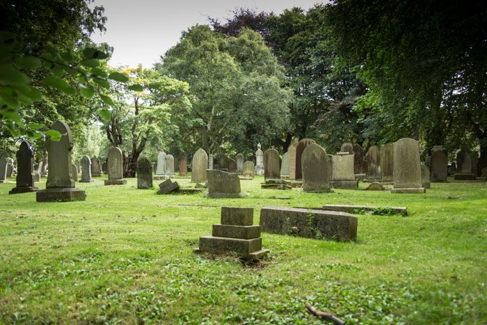
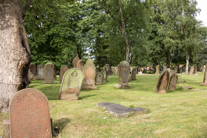
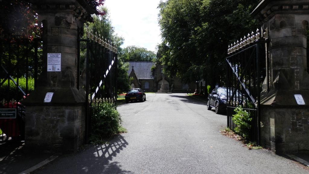
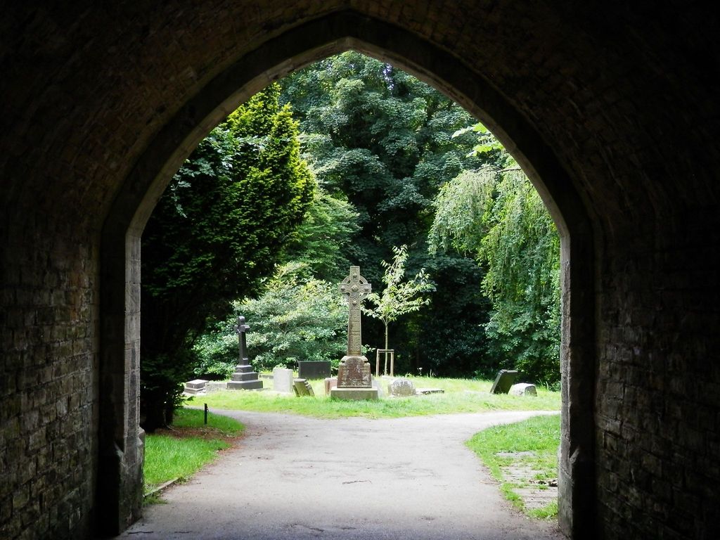
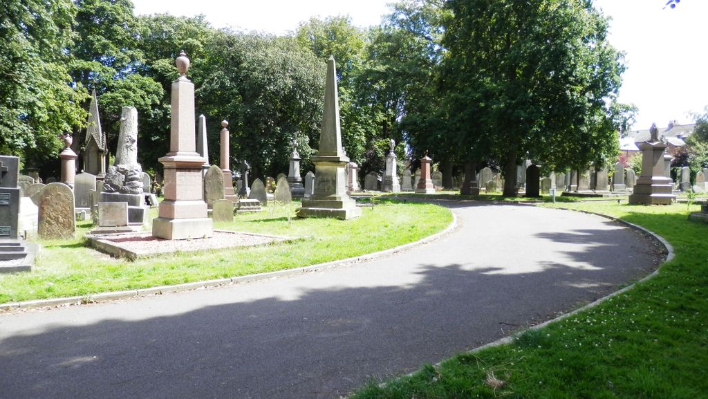
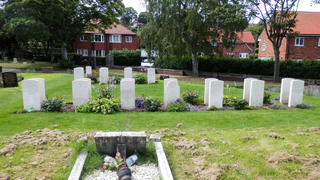
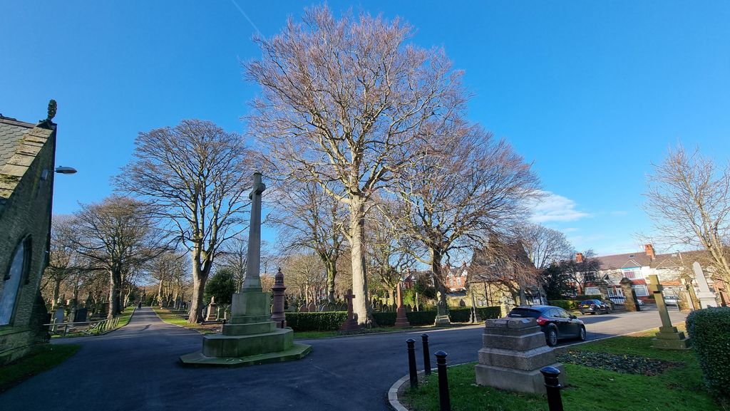
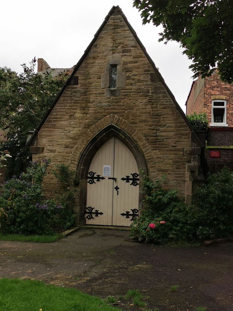
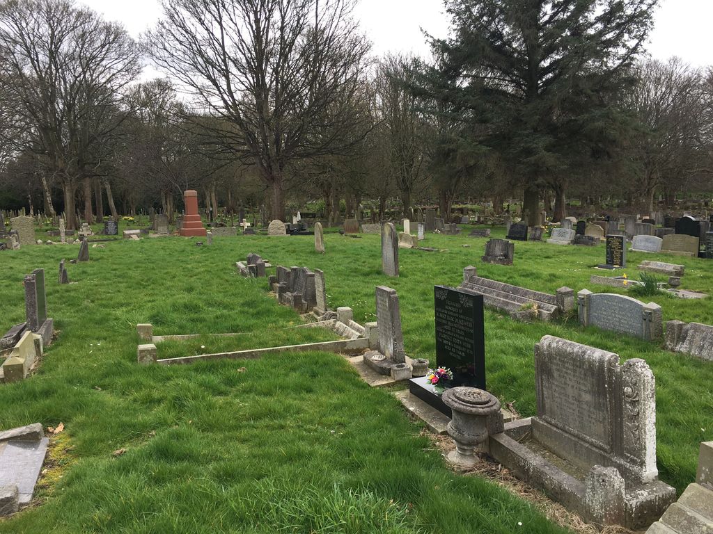
| Description | : | A public cemetery to be managed by the independent Scarborough Burial Board was established on 12 acres of property immediately south of Dean Road in 1857. This was followed by the acquisition of additional cemetery property in 1872 immediately north and west of Manor Road. The two sections of cemetery property adjoin each other, but are separated by the northward swing of Manor Road. A tunnel beneath Manor Road allows foot traffic to flow between the two areas. Additional cemetery property was added on the north west corner of the Manor Road section in the 1930s. The Scarborough Borough... Read More |
frequently asked questions (FAQ):
-
Where is Dean Road and Manor Road Cemetery?
Dean Road and Manor Road Cemetery is located at Manor Road Scarborough, Scarborough Borough ,North Yorkshire ,England.
-
Dean Road and Manor Road Cemetery cemetery's updated grave count on graveviews.com?
6194 memorials
-
Where are the coordinates of the Dean Road and Manor Road Cemetery?
Latitude: 54.2843690
Longitude: -0.4184140
Nearby Cemetories:
1. Greyfriars Abbey
Scarborough, Scarborough Borough, England
Coordinate: 54.2850360, -0.3950300
2. Quaker House Church
Scarborough Borough, England
Coordinate: 54.2844280, -0.3941730
3. St. Mary's Churchyard
Scarborough, Scarborough Borough, England
Coordinate: 54.2864850, -0.3936260
4. Woodlands Cemetery and Crematorium
Scarborough, Scarborough Borough, England
Coordinate: 54.2766640, -0.4428030
5. Scarborough Castle
Scarborough, Scarborough Borough, England
Coordinate: 54.2875810, -0.3895485
6. St Laurence Churchyard
Scalby, Scarborough Borough, England
Coordinate: 54.2988160, -0.4507520
7. St. John the Baptist Churchyard
East Ayton, Scarborough Borough, England
Coordinate: 54.2508900, -0.4792900
8. St Martin Churchyard
Seamer, Scarborough Borough, England
Coordinate: 54.2361500, -0.4437100
9. Cloughton Church Cemetery
Cloughton, Scarborough Borough, England
Coordinate: 54.3322500, -0.4511900
10. St. John the Baptist Churchyard
Cayton, Scarborough Borough, England
Coordinate: 54.2346470, -0.3805180
11. St Peter Churchyard
Hackness, Scarborough Borough, England
Coordinate: 54.3012880, -0.5127850
12. Cayton Cemetery
Cayton, Scarborough Borough, England
Coordinate: 54.2314030, -0.3755910
13. St Matthew Churchyard
Hutton Buscel, Scarborough Borough, England
Coordinate: 54.2426410, -0.5071200
14. St. Helen’s & All Saints Churchyard
Wykeham, Scarborough Borough, England
Coordinate: 54.2372000, -0.5212000
15. St Peter Churchyard
Langdale End, Scarborough Borough, England
Coordinate: 54.3065050, -0.5557030
16. St John The Evangelist Churchyard
Folkton, Scarborough Borough, England
Coordinate: 54.2020400, -0.3865200
17. Flixton Cemetery New
Folkton, Scarborough Borough, England
Coordinate: 54.2006600, -0.3934700
18. St Margaret Churchyard
Harwood Dale, Scarborough Borough, England
Coordinate: 54.3470030, -0.5238540
19. St. Peter's Churchyard
Willerby, Ryedale District, England
Coordinate: 54.1984200, -0.4558500
20. Staintondale Churchyard
Staintondale, Scarborough Borough, England
Coordinate: 54.3752645, -0.4795295
21. All Saints Churchyard
Brompton-by-Sawdon, Scarborough Borough, England
Coordinate: 54.2262550, -0.5549320
22. All Saints Church Cemetery
Brompton-by-Sawdon, Scarborough Borough, England
Coordinate: 54.2223100, -0.5500900
23. St Margaret Churchyard (Ruins)
Harwood Dale, Scarborough Borough, England
Coordinate: 54.3558170, -0.5365790
24. All Saints Churchyard
Muston, Scarborough Borough, England
Coordinate: 54.2011600, -0.3187500

