
| Memorials | : | 0 |
| Location | : | China, Jefferson County, USA |
| Coordinate | : | 38.8181000, -85.3248000 |
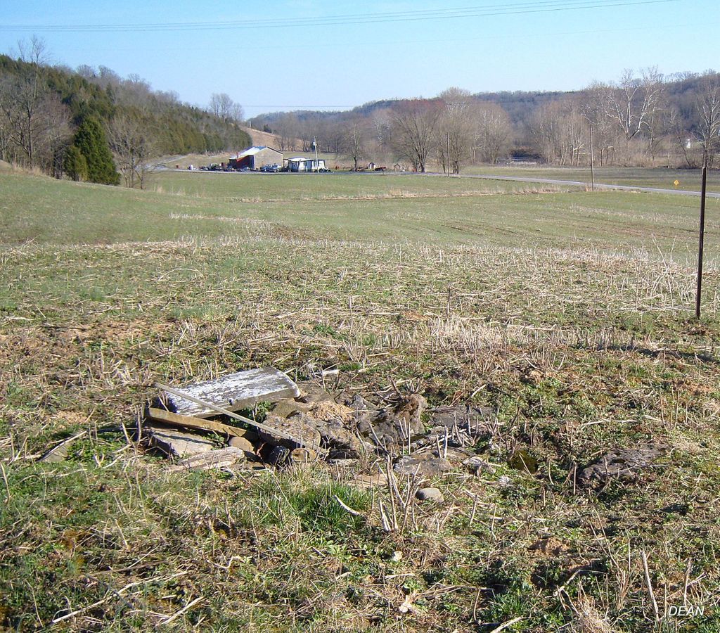
| Description | : | The cemetery is located in Madison Township on the north side of N. China Manville Road west of its intersection with E. Lower Dry Fork Road. Indiana Cemetery Locations, Volume 4, published by the Indiana Genealogical Society (April 2009), gives the primary cemetery name as Lochridge Cemetery with an alternate name of Demaree Cemetery. The cemetery is listed in the Cemetery and Burial Grounds Registry of the Indiana Department of Natural Resources (DNR) and in the State Historical Architectural and Archaeological Research Database (SHAARD) with Cemetery Record Number CR-39-58 (Lochridge / Demaree). |
frequently asked questions (FAQ):
-
Where is Demaree Cemetery?
Demaree Cemetery is located at N. China Manville Road China, Jefferson County ,Indiana , 47250USA.
-
Demaree Cemetery cemetery's updated grave count on graveviews.com?
0 memorials
-
Where are the coordinates of the Demaree Cemetery?
Latitude: 38.8181000
Longitude: -85.3248000
Nearby Cemetories:
1. Saint Anthony Catholic Cemetery
China, Jefferson County, USA
Coordinate: 38.8244019, -85.3411026
2. Brown Cemetery
Jefferson County, USA
Coordinate: 38.8210800, -85.2943400
3. Olive Branch Cemetery
Madison, Jefferson County, USA
Coordinate: 38.8044014, -85.3503036
4. Woodfill Cemetery
Jefferson County, USA
Coordinate: 38.7893800, -85.3509700
5. Mount Pleasant Cemetery
Canaan, Jefferson County, USA
Coordinate: 38.8329086, -85.2823257
6. Milton Cemetery
Manville, Jefferson County, USA
Coordinate: 38.8097000, -85.2752991
7. Manville Cemetery
Manville, Jefferson County, USA
Coordinate: 38.7897339, -85.2877731
8. Hebron Cemetery
Madison, Jefferson County, USA
Coordinate: 38.8396988, -85.3692017
9. Rykers Ridge Cemetery New
Central, Jefferson County, USA
Coordinate: 38.7774300, -85.3321500
10. Smith Cemetery
Jefferson County, USA
Coordinate: 38.8417015, -85.3692017
11. Lee Graveyard
Canaan, Jefferson County, USA
Coordinate: 38.8379000, -85.2771900
12. Lemen Graveyard
Canaan, Jefferson County, USA
Coordinate: 38.8544100, -85.2963300
13. Rykers Ridge Cemetery Old
Central, Jefferson County, USA
Coordinate: 38.7749760, -85.3327420
14. Fugit Cemetery
Manville, Jefferson County, USA
Coordinate: 38.7880960, -85.2820240
15. Copeland Cemetery
Canaan, Jefferson County, USA
Coordinate: 38.8639120, -85.3213540
16. Vernon Family Cemetery
Jefferson County, USA
Coordinate: 38.7976780, -85.2706000
17. Rodgers Graveyard
Canaan, Jefferson County, USA
Coordinate: 38.8325000, -85.2639000
18. Underwood Cemetery
Madison, Jefferson County, USA
Coordinate: 38.7813890, -85.3713890
19. Reul Cemetery
Jefferson County, USA
Coordinate: 38.7665360, -85.3059890
20. Indian Kentucky Cemetery
Canaan, Jefferson County, USA
Coordinate: 38.8727720, -85.3230380
21. Canaan Cemetery
Canaan, Jefferson County, USA
Coordinate: 38.8684082, -85.2960892
22. Short Cemetery
Canaan, Jefferson County, USA
Coordinate: 38.8441040, -85.2557830
23. Lawson Cemetery
Jefferson County, USA
Coordinate: 38.7843000, -85.2613000
24. Brooks Cemetery
Madison, Jefferson County, USA
Coordinate: 38.8450500, -85.2558300