
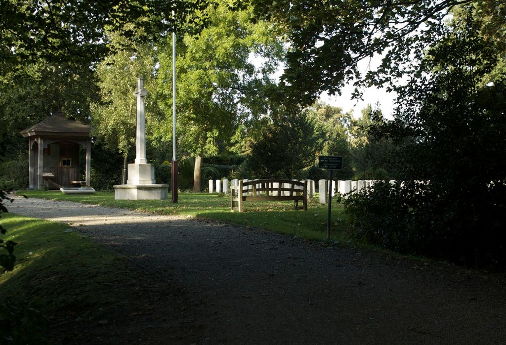
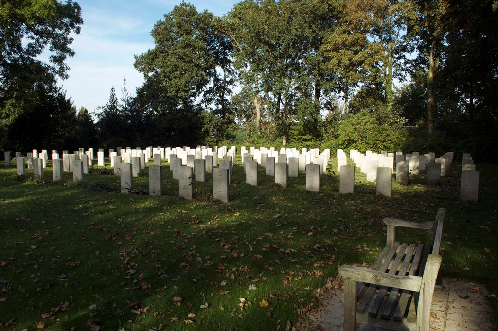
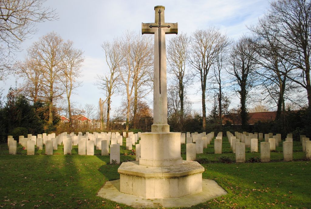
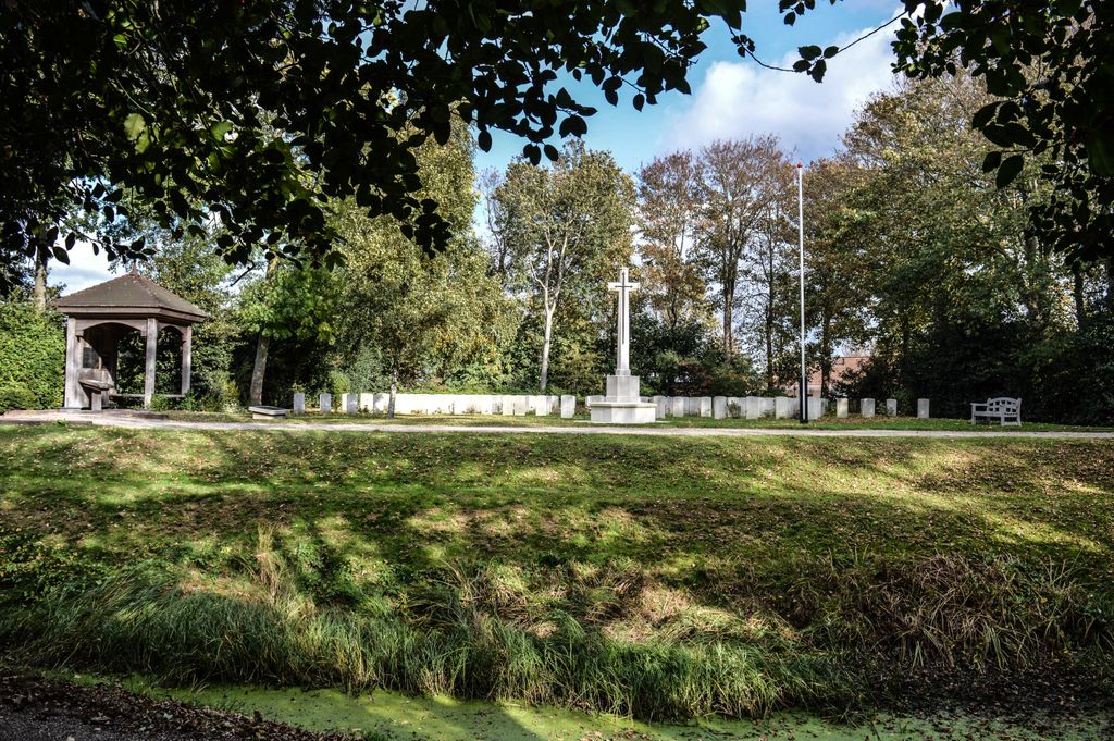
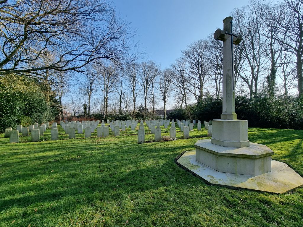
| Memorials | : | 3 |
| Location | : | Den Burg, Texel Municipality, Netherlands |
| Coordinate | : | 53.0580700, 4.7935200 |
frequently asked questions (FAQ):
-
Where is Den Burg Algemene Begraafplaats?
Den Burg Algemene Begraafplaats is located at Den Burg, Texel Municipality ,Noord-Holland ,Netherlands.
-
Den Burg Algemene Begraafplaats cemetery's updated grave count on graveviews.com?
3 memorials
-
Where are the coordinates of the Den Burg Algemene Begraafplaats?
Latitude: 53.0580700
Longitude: 4.7935200

Nearby Cemetories:
1. Den Burg Rooms Katholiek Kerkhof
Den Burg, Texel Municipality, Netherlands
Coordinate: 53.0517800, 4.7913800
2. Georgische Begraafplaats Texel
Den Burg, Texel Municipality, Netherlands
Coordinate: 53.0410013, 4.8143195
3. Kerkhof Waalder Kerk
De Waal, Texel Municipality, Netherlands
Coordinate: 53.0726535, 4.8207108
4. Algemene Begraafplaats
Den Helder, Den Helder Municipality, Netherlands
Coordinate: 52.9504883, 4.7392100
5. Hippolytushoef Zandburen General Cemetery
Hippolytushoef, Hollands Kroon Municipality, Netherlands
Coordinate: 52.9144700, 4.9640800
6. Algemene begraafplaats rondom de Michaelskerk
Oosterland, Hollands Kroon Municipality, Netherlands
Coordinate: 52.9312826, 5.0108708
7. Westerland Protestant Churchyard
Westerland, Hollands Kroon Municipality, Netherlands
Coordinate: 52.8899100, 4.9240600
8. Callantsoog Churchyard
Callantsoog, Schagen Municipality, Netherlands
Coordinate: 52.8348800, 4.6934500
9. Kolhorn General Cemetery
Kolhorn, Hollands Kroon Municipality, Netherlands
Coordinate: 52.7955800, 4.8907200
10. Begraafplaats de Hoep
Schagen, Schagen Municipality, Netherlands
Coordinate: 52.7874920, 4.8065280
11. Westerbegraafplaats
Barsingerhorn, Hollands Kroon Municipality, Netherlands
Coordinate: 52.7849938, 4.8340670
12. Rooms Katholieke Begraafplaats Middenmeer
Middenmeer, Hollands Kroon Municipality, Netherlands
Coordinate: 52.8122672, 4.9981428
13. Middenmeer General Cemetery
Middenmeer, Hollands Kroon Municipality, Netherlands
Coordinate: 52.8112900, 4.9980200
14. Gemeentelijke begraafplaats Middenmeer
Middenmeer, Hollands Kroon Municipality, Netherlands
Coordinate: 52.8112000, 4.9979100
15. Oude Algemene Begraafplaats
Sint Maarten, Schagen Municipality, Netherlands
Coordinate: 52.7743800, 4.7428100
16. Vlieland General Cemetery
Oost-Vlieland, Vlieland Municipality, Netherlands
Coordinate: 53.2960300, 5.0649200
17. Nieuwe Algemene Begraafplaats
Sint Maarten, Schagen Municipality, Netherlands
Coordinate: 52.7691500, 4.7489600
18. Winkel Protestant Churchyard
Winkel, Hollands Kroon Municipality, Netherlands
Coordinate: 52.7588800, 4.9132200
19. Algemene Begraafplaats Opperdoes
Opperdoes, Medemblik Municipality, Netherlands
Coordinate: 52.7638451, 5.0742310
20. Rooms-Katholiek Kerkhof Welgelegen
Medemblik, Medemblik Municipality, Netherlands
Coordinate: 52.7717300, 5.0996890
21. Medemblik General Cemetery
Medemblik, Medemblik Municipality, Netherlands
Coordinate: 52.7664000, 5.1051200
22. Twisk Churchyard
Twisk, Medemblik Municipality, Netherlands
Coordinate: 52.7442300, 5.0603400
23. Schoorl General Cemetery
Schoorl, Bergen Municipality, Netherlands
Coordinate: 52.7060800, 4.6981500
24. Veenhuizen Churchyard
Veenhuizen, Heerhugowaard Municipality, Netherlands
Coordinate: 52.7027900, 4.8905700