
| Memorials | : | 0 |
| Location | : | Schoorl, Bergen Municipality, Netherlands |
| Coordinate | : | 52.7060800, 4.6981500 |
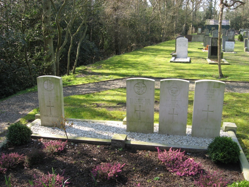
| Description | : | Schoorl is a village 11 kilometres north-west of Alkmaar, lying 2 kilometres west of the main Alkmaar-Den Helder road. The cemetery is on the north-eastern outskirts of the village, on the Molenweg, a turning off of Laanweg. |
frequently asked questions (FAQ):
-
Where is Schoorl General Cemetery?
Schoorl General Cemetery is located at Schoorl, Bergen Municipality ,Noord-Holland ,Netherlands.
-
Schoorl General Cemetery cemetery's updated grave count on graveviews.com?
0 memorials
-
Where are the coordinates of the Schoorl General Cemetery?
Latitude: 52.7060800
Longitude: 4.6981500
Nearby Cemetories:
1. Bergen General Cemetery
Bergen, Bergen Municipality, Netherlands
Coordinate: 52.6772500, 4.7098600
2. Ruinekerk
Bergen, Bergen Municipality, Netherlands
Coordinate: 52.6703450, 4.7054100
3. Nieuwe Algemene Begraafplaats
Sint Maarten, Schagen Municipality, Netherlands
Coordinate: 52.7691500, 4.7489600
4. Oude Algemene Begraafplaats
Sint Maarten, Schagen Municipality, Netherlands
Coordinate: 52.7743800, 4.7428100
5. Grote Sint Laurenskerk
Alkmaar, Alkmaar Municipality, Netherlands
Coordinate: 52.6325150, 4.7440124
6. Alkmaar Algemene Begraafplaats
Alkmaar, Alkmaar Municipality, Netherlands
Coordinate: 52.6277500, 4.7302600
7. Joodse Begraafplaats
Alkmaar Municipality, Netherlands
Coordinate: 52.6255000, 4.7279200
8. Alkmaar Sint-Barbara Roman Catholic Cemetery
Alkmaar, Alkmaar Municipality, Netherlands
Coordinate: 52.6243500, 4.7318460
9. Egmond aan Zee Algemene Begraafplaats
Egmond aan Zee, Bergen Municipality, Netherlands
Coordinate: 52.6189449, 4.6337843
10. Witte Kerk Cemetery
Heiloo, Heiloo Municipality, Netherlands
Coordinate: 52.6049130, 4.7128400
11. Algemene Begraafsplaats Holleweg
Heiloo, Heiloo Municipality, Netherlands
Coordinate: 52.6026850, 4.7044120
12. Begraafplaats de Hoep
Schagen, Schagen Municipality, Netherlands
Coordinate: 52.7874920, 4.8065280
13. RK Begraafplaats Willibrordushof
Heiloo, Heiloo Municipality, Netherlands
Coordinate: 52.5999540, 4.6975590
14. Egmond Abbey
Egmond aan den Hoef, Bergen Municipality, Netherlands
Coordinate: 52.5950000, 4.6602780
15. Westerbegraafplaats
Barsingerhorn, Hollands Kroon Municipality, Netherlands
Coordinate: 52.7849938, 4.8340670
16. Veenhuizen Churchyard
Veenhuizen, Heerhugowaard Municipality, Netherlands
Coordinate: 52.7027900, 4.8905700
17. Stompetoren Churchyard
Stompetoren, Alkmaar Municipality, Netherlands
Coordinate: 52.6115300, 4.8197300
18. Callantsoog Churchyard
Callantsoog, Schagen Municipality, Netherlands
Coordinate: 52.8348800, 4.6934500
19. Limmen Protestant Churchyard
Limmen, Castricum Municipality, Netherlands
Coordinate: 52.5716780, 4.7007150
20. Winkel Protestant Churchyard
Winkel, Hollands Kroon Municipality, Netherlands
Coordinate: 52.7588800, 4.9132200
21. Rooms Katholieke Begraafplaats
Ursem, Koggenland Municipality, Netherlands
Coordinate: 52.6267350, 4.8897360
22. Overtuin Begraafsplaats
Akersloot, Castricum Municipality, Netherlands
Coordinate: 52.5617700, 4.7374500
23. Begraafplaats Protestantse Gemeente
Akersloot, Castricum Municipality, Netherlands
Coordinate: 52.5608010, 4.7296890
24. Kolhorn General Cemetery
Kolhorn, Hollands Kroon Municipality, Netherlands
Coordinate: 52.7955800, 4.8907200