
| Memorials | : | 0 |
| Location | : | Senatobia, Tate County, USA |
| Coordinate | : | 34.5784350, -89.8808140 |
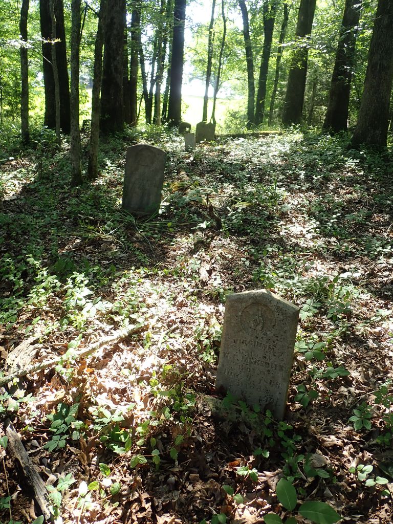
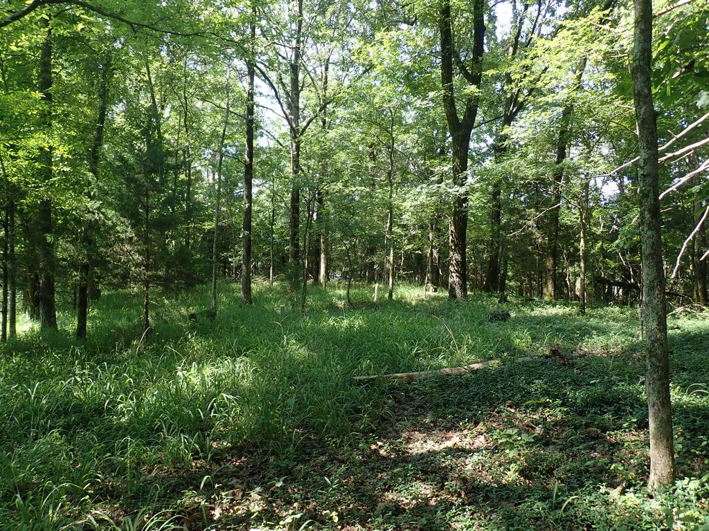
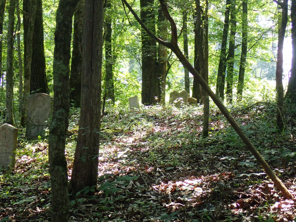
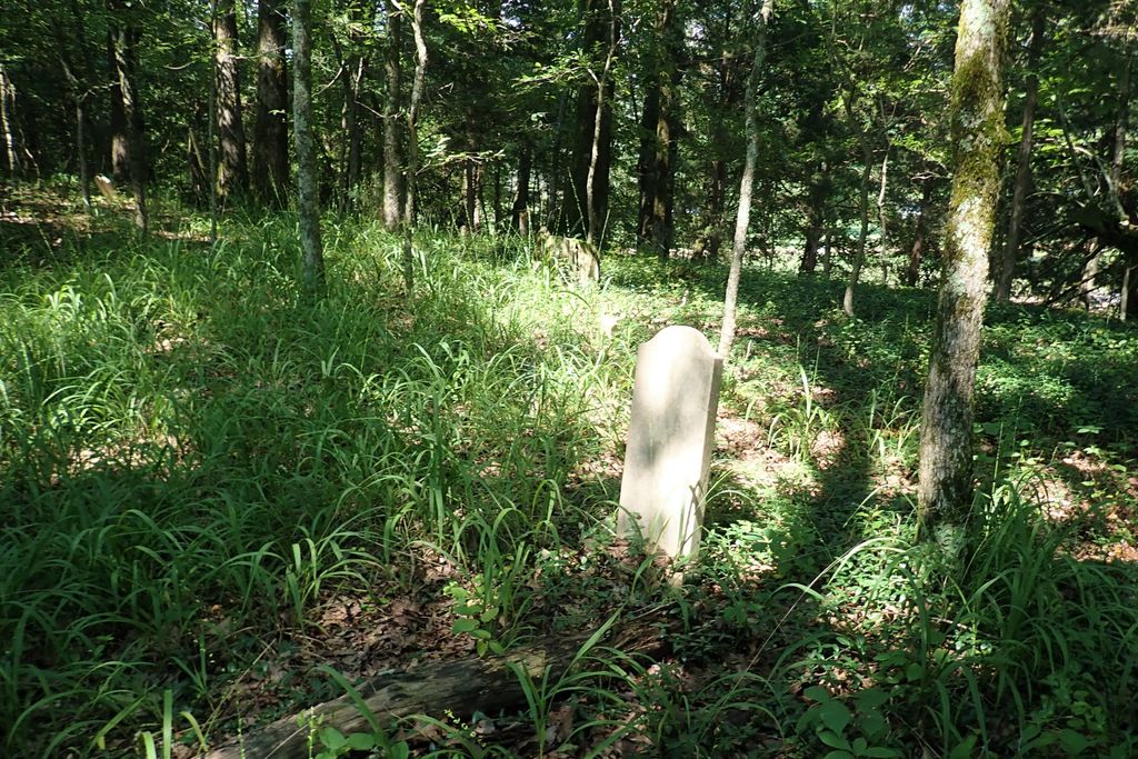
| Description | : | From the intersection of MS-4 E & I-55, east of Senatobia, travel east on MS-4 E for 4.1 mi.; turning south (right) onto Gravel Springs Rd., going 2.3 mi., turning west (right) onto a farm road leading past the cemetery, obscured within a small wooded area adjacent to the road. |
frequently asked questions (FAQ):
-
Where is Diffee-Lowrie Cemetery?
Diffee-Lowrie Cemetery is located at 2275 Gravel Springs Road Senatobia, Tate County ,Mississippi ,USA.
-
Diffee-Lowrie Cemetery cemetery's updated grave count on graveviews.com?
0 memorials
-
Where are the coordinates of the Diffee-Lowrie Cemetery?
Latitude: 34.5784350
Longitude: -89.8808140

Nearby Cemetories:
1. Gravel Springs Cemetery
Senatobia, Tate County, USA
Coordinate: 34.5687560, -89.8801890
2. Springfield M.B. Church Cemetery
Senatobia, Tate County, USA
Coordinate: 34.5675050, -89.8974980
3. New Zion M.B. Church Cemetery
Senatobia, Tate County, USA
Coordinate: 34.6101900, -89.8679960
4. Bowdre Cemetery
Senatobia, Tate County, USA
Coordinate: 34.6121280, -89.8901600
5. Midway Cemetery
New Town, Tate County, USA
Coordinate: 34.6012500, -89.9138889
6. Macedonia Missionary Baptist Church Cemetery
Senatobia, Tate County, USA
Coordinate: 34.6116420, -89.9086090
7. West Looxahoma Church of Christ Cemetery
Tate County, USA
Coordinate: 34.6125120, -89.8509910
8. Looxahoma Cemetery
Senatobia, Tate County, USA
Coordinate: 34.5980280, -89.8343410
9. Zion Hill Cemetery
Senatobia, Tate County, USA
Coordinate: 34.5844000, -89.9368973
10. Looxahoma Church of Christ Cemetery
Looxahoma, Tate County, USA
Coordinate: 34.6119930, -89.8361240
11. Wright Cemetery
Looxahoma, Tate County, USA
Coordinate: 34.6291620, -89.8503950
12. Lewers Chapel Cemetery
Looxahoma, Tate County, USA
Coordinate: 34.5843040, -89.8098900
13. Oldham Cemetery
Panola County, USA
Coordinate: 34.5400009, -89.9400024
14. Mount Moriah Missionary Baptist Church Cemetery
Panola County, USA
Coordinate: 34.5345890, -89.8236370
15. Saint Maria Cemetery
Panola County, USA
Coordinate: 34.5339012, -89.8236008
16. Hickory Grove M.B. Church Cemetery
Senatobia, Tate County, USA
Coordinate: 34.6489910, -89.8891830
17. Faith Chapel Holiness Church Cemetery
Senatobia, Tate County, USA
Coordinate: 34.5839510, -89.9669680
18. Senatobia Memorial Cemetery
Senatobia, Tate County, USA
Coordinate: 34.5930610, -89.9672090
19. Old Caroline Cemetery
Senatobia, Tate County, USA
Coordinate: 34.5792020, -89.9695500
20. Cistern Hill Cemetery
Como, Panola County, USA
Coordinate: 34.5088997, -89.9128036
21. Brownlee Cemetery
Senatobia, Tate County, USA
Coordinate: 34.6265480, -89.8113390
22. Liberty Hill Cemetery
Panola County, USA
Coordinate: 34.5083008, -89.8455963
23. Beulah Cemetery
Panola County, USA
Coordinate: 34.5275002, -89.8106003
24. Dean Crawford Cemetery
Coldwater, Tate County, USA
Coordinate: 34.6565620, -89.8824520