
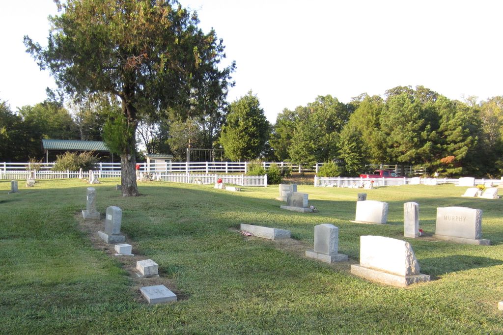
| Memorials | : | 2 |
| Location | : | Looxahoma, Tate County, USA |
| Coordinate | : | 34.6119930, -89.8361240 |
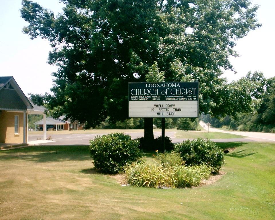
| Description | : | From the intersection of MS-4 E & I-55, east of Senatobia, travel east on MS-4 E for 6.5 mi.; turning south (right) onto Lyles Rd., going 100'; turning east (left) onto Crockett Dr., going 100 yards, passing the Looxahoma Ch. of Christ; turning south (right) into the entrance driveways of this large, well-maintained 'deeded' cemetery, as notated on USGS topo maps. |
frequently asked questions (FAQ):
-
Where is Looxahoma Church of Christ Cemetery?
Looxahoma Church of Christ Cemetery is located at Crockett Drive Looxahoma, Tate County ,Mississippi ,USA.
-
Looxahoma Church of Christ Cemetery cemetery's updated grave count on graveviews.com?
2 memorials
-
Where are the coordinates of the Looxahoma Church of Christ Cemetery?
Latitude: 34.6119930
Longitude: -89.8361240
Nearby Cemetories:
1. West Looxahoma Church of Christ Cemetery
Tate County, USA
Coordinate: 34.6125120, -89.8509910
2. Looxahoma Cemetery
Senatobia, Tate County, USA
Coordinate: 34.5980280, -89.8343410
3. Wright Cemetery
Looxahoma, Tate County, USA
Coordinate: 34.6291620, -89.8503950
4. Brownlee Cemetery
Senatobia, Tate County, USA
Coordinate: 34.6265480, -89.8113390
5. New Zion M.B. Church Cemetery
Senatobia, Tate County, USA
Coordinate: 34.6101900, -89.8679960
6. Lewers Chapel Cemetery
Looxahoma, Tate County, USA
Coordinate: 34.5843040, -89.8098900
7. Zion Hill-Barr Church Cemetery
Tate County, USA
Coordinate: 34.6262520, -89.7849790
8. Bowdre Cemetery
Senatobia, Tate County, USA
Coordinate: 34.6121280, -89.8901600
9. Fredonia Cemetery
Coldwater, Tate County, USA
Coordinate: 34.6588650, -89.8288760
10. Diffee-Lowrie Cemetery
Senatobia, Tate County, USA
Coordinate: 34.5784350, -89.8808140
11. House Cemetery
Barr, Tate County, USA
Coordinate: 34.6390250, -89.7852380
12. Gravel Springs Cemetery
Senatobia, Tate County, USA
Coordinate: 34.5687560, -89.8801890
13. Hickory Grove M.B. Church Cemetery
Senatobia, Tate County, USA
Coordinate: 34.6489910, -89.8891830
14. Dean Crawford Cemetery
Coldwater, Tate County, USA
Coordinate: 34.6565620, -89.8824520
15. Macedonia Missionary Baptist Church Cemetery
Senatobia, Tate County, USA
Coordinate: 34.6116420, -89.9086090
16. Mount Vernon Church Cemetery
Looxahoma, Tate County, USA
Coordinate: 34.5765310, -89.7735120
17. Midway Cemetery
New Town, Tate County, USA
Coordinate: 34.6012500, -89.9138889
18. Springfield M.B. Church Cemetery
Senatobia, Tate County, USA
Coordinate: 34.5675050, -89.8974980
19. Thyatira Sunset Cemetery
Thyatira, Tate County, USA
Coordinate: 34.6389770, -89.7572090
20. Thyatira Cemetery
Thyatira, Tate County, USA
Coordinate: 34.6393470, -89.7562520
21. Burford Cemetery
Coldwater, Tate County, USA
Coordinate: 34.6853720, -89.8199770
22. Hopewell Church Cemetery
Independence, Tate County, USA
Coordinate: 34.6744440, -89.7856500
23. Sandidge Cemetery
Independence, Tate County, USA
Coordinate: 34.6738190, -89.7788960
24. Mount Moriah Missionary Baptist Church Cemetery
Panola County, USA
Coordinate: 34.5345890, -89.8236370