
| Memorials | : | 1 |
| Location | : | New Town, Tate County, USA |
| Coordinate | : | 34.6012500, -89.9138889 |
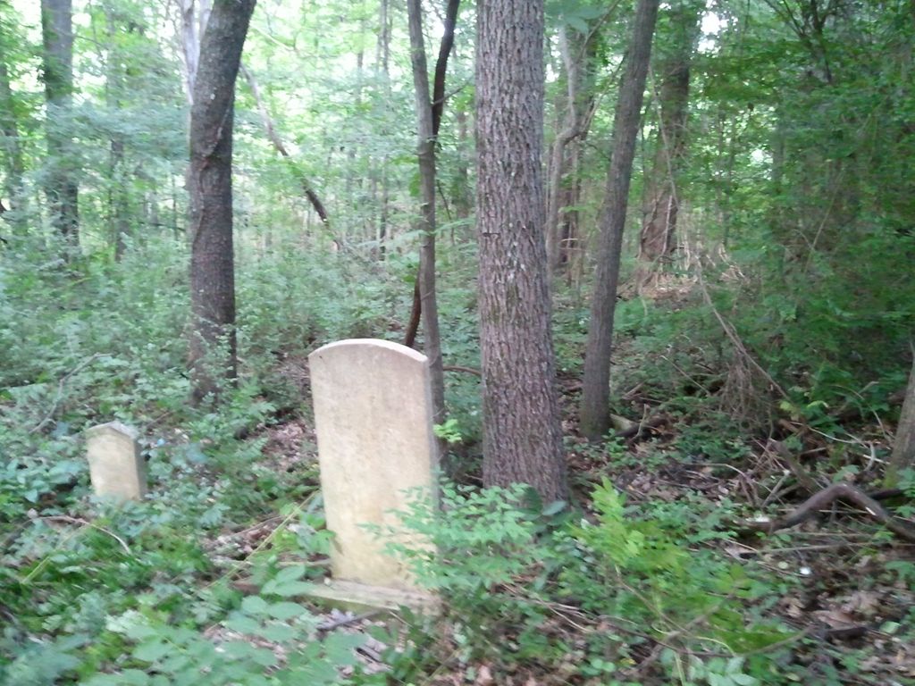
| Description | : | Midway Cemetery was located and reported to be severly overgrown in a 5 July 2010 posting on RootwWeb Message Board. Located about 1 mile south of New Town which is 2 miles east of Senatobia on Highway 4. Cemetery is located in the SW quarter of Section 35, TS 5 South, R 7 West. The latitude / longitude is 34-36-04.5 North and 89-54-50.0 West. It was originally associated with the Midway Baptist Church. From the intersection of MS-4 E & I-55, east of Senatobia, travel east on MS-4 E for 2.1 mi.; turning south (right) onto Yellow Dog Rd.,... Read More |
frequently asked questions (FAQ):
-
Where is Midway Cemetery?
Midway Cemetery is located at 2243 Yellow Dog Road New Town, Tate County ,Mississippi ,USA.
-
Midway Cemetery cemetery's updated grave count on graveviews.com?
1 memorials
-
Where are the coordinates of the Midway Cemetery?
Latitude: 34.6012500
Longitude: -89.9138889
Nearby Cemetories:
1. Macedonia Missionary Baptist Church Cemetery
Senatobia, Tate County, USA
Coordinate: 34.6116420, -89.9086090
2. Bowdre Cemetery
Senatobia, Tate County, USA
Coordinate: 34.6121280, -89.8901600
3. Zion Hill Cemetery
Senatobia, Tate County, USA
Coordinate: 34.5844000, -89.9368973
4. Diffee-Lowrie Cemetery
Senatobia, Tate County, USA
Coordinate: 34.5784350, -89.8808140
5. Springfield M.B. Church Cemetery
Senatobia, Tate County, USA
Coordinate: 34.5675050, -89.8974980
6. New Zion M.B. Church Cemetery
Senatobia, Tate County, USA
Coordinate: 34.6101900, -89.8679960
7. Gravel Springs Cemetery
Senatobia, Tate County, USA
Coordinate: 34.5687560, -89.8801890
8. Senatobia Memorial Cemetery
Senatobia, Tate County, USA
Coordinate: 34.5930610, -89.9672090
9. Faith Chapel Holiness Church Cemetery
Senatobia, Tate County, USA
Coordinate: 34.5839510, -89.9669680
10. Bethesda Cemetery
Senatobia, Tate County, USA
Coordinate: 34.6116982, -89.9705963
11. Old Caroline Cemetery
Senatobia, Tate County, USA
Coordinate: 34.5792020, -89.9695500
12. Hickory Grove M.B. Church Cemetery
Senatobia, Tate County, USA
Coordinate: 34.6489910, -89.8891830
13. West Looxahoma Church of Christ Cemetery
Tate County, USA
Coordinate: 34.6125120, -89.8509910
14. Shady Grove Cemetery
Senatobia, Tate County, USA
Coordinate: 34.5822360, -89.9766410
15. Highway 51 Cemetery
Senatobia, Tate County, USA
Coordinate: 34.6346790, -89.9684220
16. Wright Cemetery
Looxahoma, Tate County, USA
Coordinate: 34.6291620, -89.8503950
17. Dean Crawford Cemetery
Coldwater, Tate County, USA
Coordinate: 34.6565620, -89.8824520
18. Looxahoma Church of Christ Cemetery
Looxahoma, Tate County, USA
Coordinate: 34.6119930, -89.8361240
19. Oldham Cemetery
Panola County, USA
Coordinate: 34.5400009, -89.9400024
20. Looxahoma Cemetery
Senatobia, Tate County, USA
Coordinate: 34.5980280, -89.8343410
21. Bethel Cemetery
Coldwater, Tate County, USA
Coordinate: 34.6631012, -89.9408035
22. Old County Poor House Cemetery
Senatobia, Tate County, USA
Coordinate: 34.6118590, -89.9941360
23. Buntin Cemetery
Coldwater, Tate County, USA
Coordinate: 34.6671982, -89.9441986
24. Paradise MB Church Cemetery
Senatobia, Tate County, USA
Coordinate: 34.6055820, -90.0034070