| Memorials | : | 2 |
| Location | : | Mapleton Township, Wellington County, Canada |
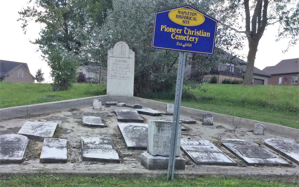
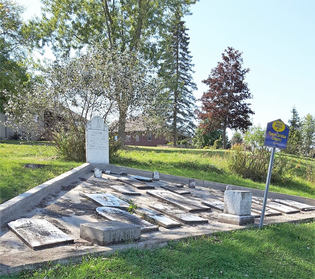
| Description | : | Historical Township Concession 10 Lot 18 Drayton town lot # 8, Maryborough Township, Wellington County, Ontario, Canada. Established 1858. History: The Christian Church (Disciple ), was the second church in Drayton and was erected in 1869. The building was located on a hill just to the west of the village of Drayton and the cemetery was located beside the church. The red brick building was dismantled in 1908 and services moved to the former Salvation Army building on Spring Street. The congregation's services discontinued in the 1920's. Prior to the opening of Victoria Cemetery in... Read More |
frequently asked questions (FAQ):
-
Where is Drayton Pioneer Cemetery?
Drayton Pioneer Cemetery is located at No GPS information available Add GPS51 Main Street West Mapleton Township, Wellington County ,Ontario ,Canada.
-
Drayton Pioneer Cemetery cemetery's updated grave count on graveviews.com?
2 memorials
Nearby Cemetories:
1. Maple View Mennonite Cemetery
Alma, Wellington County, Canada
2. Arkell United Church Cemetery
Arkell, Wellington County, Canada
Coordinate: 43.6863861, -80.5634460
3. Church of the Good Shepherd Cemetery
Arthur, Wellington County, Canada
Coordinate: 43.4236600, -80.1533300
4. Greenfield Cemetery
Arthur, Wellington County, Canada
Coordinate: 43.7525000, -80.6641670
5. Saint John the Evangelist Roman Catholic Cemetery
Arthur, Wellington County, Canada
Coordinate: 43.7651972, -80.6629083
6. Ballinafad Cemetery
Ballinafad, Wellington County, Canada
Coordinate: 43.7973382, -80.6375023
7. Mount Carmel Cemetery
Belwood, Wellington County, Canada
Coordinate: 43.5724940, -80.1523020
8. Bethel Pioneer Cemetery
Wellington County, Canada
Coordinate: 43.6720009, -80.5111160
9. Berea Mennonite Cemetery
Bosworth, Wellington County, Canada
Coordinate: 43.6876259, -80.4413986
10. Bloomsbury Methodist Cemetery
Centre Wellington Township, Wellington County, Canada
11. Mount Pleasant Cemetery
Centre Wellington Township, Wellington County, Canada
Coordinate: 43.6756940, -80.4300500
12. Coningsby Cemetery
Coningsby, Wellington County, Canada
Coordinate: 43.6868510, -80.4414870
13. Meadowside Mennonite
Conn, Wellington County, Canada
14. Creek Bank Mennonite Cemetery
Creek Bank, Wellington County, Canada
Coordinate: 43.6863861, -80.5634460
15. Sunset Mindepark
Crieff, Wellington County, Canada
Coordinate: 43.4236600, -80.1533300
16. Drayton Methodist Church and Cemetery
Drayton, Wellington County, Canada
Coordinate: 43.7525000, -80.6641670
17. Drayton Victoria Cemetery
Drayton, Wellington County, Canada
Coordinate: 43.7651972, -80.6629083
18. Zion United Church Cemetery
Drayton, Wellington County, Canada
Coordinate: 43.7973382, -80.6375023
19. Eden Mills Cemetery
Eden Mills, Wellington County, Canada
Coordinate: 43.5724940, -80.1523020
20. Bethel Mennonite Cemetery
Elora, Wellington County, Canada
Coordinate: 43.6720009, -80.5111160
21. Elora Cemetery
Elora, Wellington County, Canada
Coordinate: 43.6876259, -80.4413986
22. Municipal Cemetery
Elora, Wellington County, Canada
23. Saint John the Evangelist Anglican Cairn
Elora, Wellington County, Canada
Coordinate: 43.6756940, -80.4300500
24. St. Mary's Roman Catholic Cemetery
Elora, Wellington County, Canada
Coordinate: 43.6868510, -80.4414870


