
| Memorials | : | 0 |
| Location | : | Chesterfield, Chesterfield County, USA |
| Coordinate | : | 34.6865100, -80.0374170 |
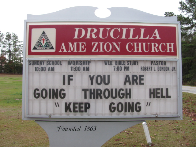
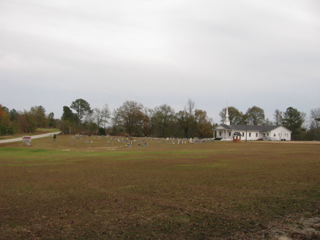
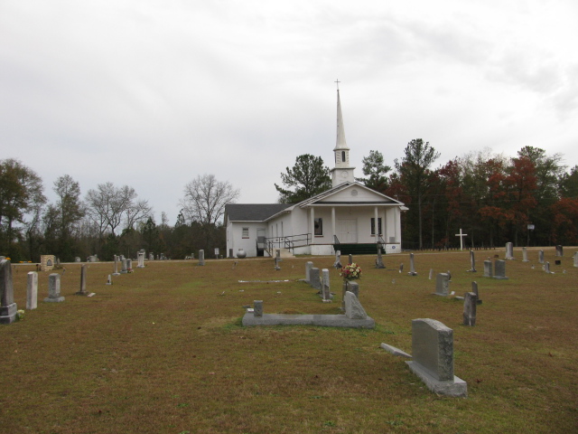
| Description | : | Take Highway 9 east from Chesterfield, S.C. Bear right on Teals Mill Road. Turn right on Evans Mill Road. At the intersection of Evans Mill Road and Old Ridge Road turn left. Church and cemetery will be on the right. |
frequently asked questions (FAQ):
-
Where is Drucilla AME Zion Church Cemetery?
Drucilla AME Zion Church Cemetery is located at Chesterfield, Chesterfield County ,South Carolina ,USA.
-
Drucilla AME Zion Church Cemetery cemetery's updated grave count on graveviews.com?
0 memorials
-
Where are the coordinates of the Drucilla AME Zion Church Cemetery?
Latitude: 34.6865100
Longitude: -80.0374170
Nearby Cemetories:
1. Cranford Cemetery
Chesterfield, Chesterfield County, USA
Coordinate: 34.6837260, -80.0300450
2. Church in the Lord Jesus Christ of the Apostles Ce
Chesterfield, Chesterfield County, USA
Coordinate: 34.6876730, -80.0490400
3. Evans Family Cemetery
Chesterfield, Chesterfield County, USA
Coordinate: 34.7031340, -80.0369290
4. Pine View Baptist Church Cemetery
Chesterfield, Chesterfield County, USA
Coordinate: 34.6662350, -80.0428890
5. Peniel Cemetery
Chesterfield, Chesterfield County, USA
Coordinate: 34.6644170, -80.0460000
6. Lower Macedonia Memorial Garden
Chesterfield, Chesterfield County, USA
Coordinate: 34.6688470, -80.0077090
7. Green Family Cemetery
Chesterfield, Chesterfield County, USA
Coordinate: 34.6514260, -80.0319670
8. Saint James AME Zion Church Cemetery
Chesterfield County, USA
Coordinate: 34.6648470, -80.0721920
9. Southern Grace Church
Chesterfield, Chesterfield County, USA
Coordinate: 34.7234820, -80.0300720
10. First Southern Methodist Church Cemetery
Cheraw, Chesterfield County, USA
Coordinate: 34.6692090, -79.9958000
11. Mount Mary Baptist Church Cemetery
Chesterfield, Chesterfield County, USA
Coordinate: 34.6463050, -80.0383590
12. Pitts Cemetery
Chesterfield, Chesterfield County, USA
Coordinate: 34.7145640, -80.0730480
13. Mount Olivet United Methodist Church Cemetery
Hunts Mill, Chesterfield County, USA
Coordinate: 34.6623192, -79.9972763
14. Confederate Soldier Burial Ground
Chesterfield, Chesterfield County, USA
Coordinate: 34.7300670, -80.0416230
15. Kite Cemetery
Chesterfield, Chesterfield County, USA
Coordinate: 34.6855330, -80.0917620
16. Bethesda United Methodist Church Cemetery
Chesterfield, Chesterfield County, USA
Coordinate: 34.6422005, -80.0468979
17. Curry Family Cemetery
Chesterfield, Chesterfield County, USA
Coordinate: 34.6478430, -80.0053170
18. Shiloh United Methodist Church Cemetery
Chesterfield, Chesterfield County, USA
Coordinate: 34.6819000, -80.0994034
19. Pine Grove Baptist Church Cemetery
Chesterfield County, USA
Coordinate: 34.7366982, -80.0500031
20. Chesterfield Community Cemetery
Chesterfield, Chesterfield County, USA
Coordinate: 34.7245210, -80.0822480
21. Fannie Cemetery
Chesterfield County, USA
Coordinate: 34.6352997, -80.0541992
22. Purvis Cemetery
Chesterfield, Chesterfield County, USA
Coordinate: 34.6958170, -80.1017050
23. Midway Baptist Church Cemetery
Cheraw, Chesterfield County, USA
Coordinate: 34.7170570, -79.9826580
24. Davis Family Cemetery
Chesterfield, Chesterfield County, USA
Coordinate: 34.7402992, -80.0605774