
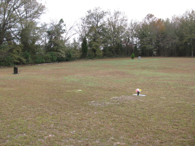
| Memorials | : | 0 |
| Location | : | Chesterfield, Chesterfield County, USA |
| Coordinate | : | 34.6662350, -80.0428890 |
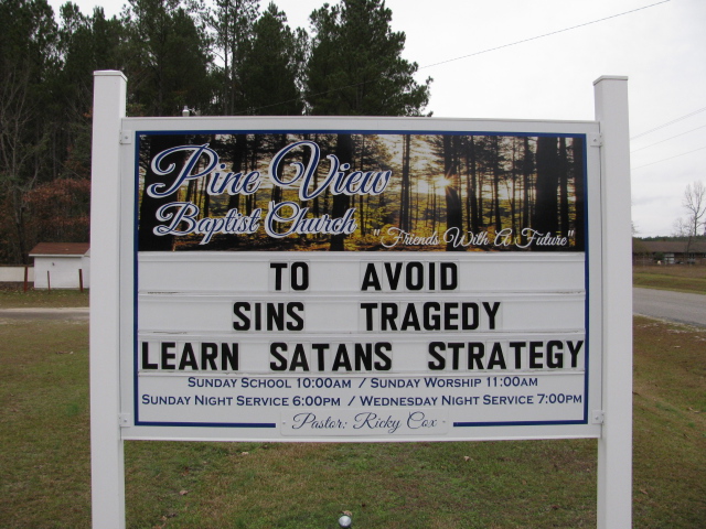
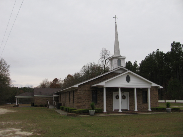
| Description | : | directions: Take Highway 9 West from Chesterfield, S.C. Bear right on Teals Mill Road. Turn right on Evans Mill Road. Cross Old Ridge Road. Turn left on Bear Creek Road. Go past the first house on the right and turn the next drive to the right which is dirt. Cemetery will be down this drive. Note: Cemetery is not at the church, the cemetery at the church is Penial Cemetery. |
frequently asked questions (FAQ):
-
Where is Pine View Baptist Church Cemetery?
Pine View Baptist Church Cemetery is located at Chesterfield, Chesterfield County ,South Carolina ,USA.
-
Pine View Baptist Church Cemetery cemetery's updated grave count on graveviews.com?
0 memorials
-
Where are the coordinates of the Pine View Baptist Church Cemetery?
Latitude: 34.6662350
Longitude: -80.0428890
Nearby Cemetories:
1. Peniel Cemetery
Chesterfield, Chesterfield County, USA
Coordinate: 34.6644170, -80.0460000
2. Green Family Cemetery
Chesterfield, Chesterfield County, USA
Coordinate: 34.6514260, -80.0319670
3. Mount Mary Baptist Church Cemetery
Chesterfield, Chesterfield County, USA
Coordinate: 34.6463050, -80.0383590
4. Cranford Cemetery
Chesterfield, Chesterfield County, USA
Coordinate: 34.6837260, -80.0300450
5. Drucilla AME Zion Church Cemetery
Chesterfield, Chesterfield County, USA
Coordinate: 34.6865100, -80.0374170
6. Church in the Lord Jesus Christ of the Apostles Ce
Chesterfield, Chesterfield County, USA
Coordinate: 34.6876730, -80.0490400
7. Saint James AME Zion Church Cemetery
Chesterfield County, USA
Coordinate: 34.6648470, -80.0721920
8. Bethesda United Methodist Church Cemetery
Chesterfield, Chesterfield County, USA
Coordinate: 34.6422005, -80.0468979
9. Lower Macedonia Memorial Garden
Chesterfield, Chesterfield County, USA
Coordinate: 34.6688470, -80.0077090
10. Fannie Cemetery
Chesterfield County, USA
Coordinate: 34.6352997, -80.0541992
11. Curry Family Cemetery
Chesterfield, Chesterfield County, USA
Coordinate: 34.6478430, -80.0053170
12. Evans Family Cemetery
Chesterfield, Chesterfield County, USA
Coordinate: 34.7031340, -80.0369290
13. Mount Olivet United Methodist Church Cemetery
Hunts Mill, Chesterfield County, USA
Coordinate: 34.6623192, -79.9972763
14. First Southern Methodist Church Cemetery
Cheraw, Chesterfield County, USA
Coordinate: 34.6692090, -79.9958000
15. Kite Cemetery
Chesterfield, Chesterfield County, USA
Coordinate: 34.6855330, -80.0917620
16. Cross Branch Cemetery
Chesterfield County, USA
Coordinate: 34.6324997, -80.0836029
17. Shiloh United Methodist Church Cemetery
Chesterfield, Chesterfield County, USA
Coordinate: 34.6819000, -80.0994034
18. Pierce Cemetery
Patrick, Chesterfield County, USA
Coordinate: 34.6184529, -80.0608026
19. Pitts Cemetery
Chesterfield, Chesterfield County, USA
Coordinate: 34.7145640, -80.0730480
20. Purvis Cemetery
Chesterfield, Chesterfield County, USA
Coordinate: 34.6958170, -80.1017050
21. Southern Grace Church
Chesterfield, Chesterfield County, USA
Coordinate: 34.7234820, -80.0300720
22. Smith Cemetery
Shiloh, Chesterfield County, USA
Coordinate: 34.6783060, -80.1136030
23. Confederate Soldier Burial Ground
Chesterfield, Chesterfield County, USA
Coordinate: 34.7300670, -80.0416230
24. Chesterfield Community Cemetery
Chesterfield, Chesterfield County, USA
Coordinate: 34.7245210, -80.0822480