
| Memorials | : | 22 |
| Location | : | Cheraw, Chesterfield County, USA |
| Coordinate | : | 34.6692090, -79.9958000 |
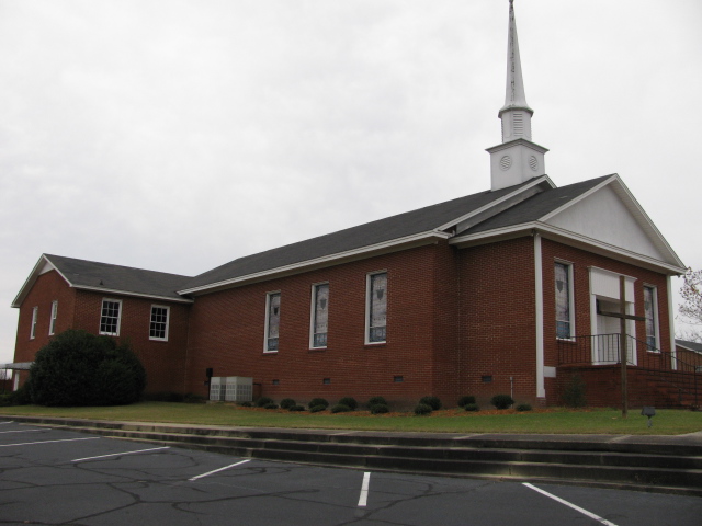
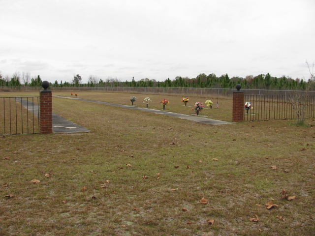
| Description | : | Take West Market Street (S-13-22) from Cheraw, S.C. going toward Teals Mill. Church will be on the right and cemetery will be behind the church. |
frequently asked questions (FAQ):
-
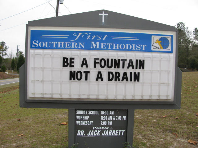
Where is First Southern Methodist Church Cemetery?
First Southern Methodist Church Cemetery is located at Cheraw, Chesterfield County ,South Carolina ,USA.
-
First Southern Methodist Church Cemetery cemetery's updated grave count on graveviews.com?
0 memorials
-
Where are the coordinates of the First Southern Methodist Church Cemetery?
Latitude: 34.6692090
Longitude: -79.9958000
Nearby Cemetories:
1. Mount Olivet United Methodist Church Cemetery
Hunts Mill, Chesterfield County, USA
Coordinate: 34.6623192, -79.9972763
2. Lower Macedonia Memorial Garden
Chesterfield, Chesterfield County, USA
Coordinate: 34.6688470, -80.0077090
3. Curry Family Cemetery
Chesterfield, Chesterfield County, USA
Coordinate: 34.6478430, -80.0053170
4. Cranford Cemetery
Chesterfield, Chesterfield County, USA
Coordinate: 34.6837260, -80.0300450
5. Green Family Cemetery
Chesterfield, Chesterfield County, USA
Coordinate: 34.6514260, -80.0319670
6. Drucilla AME Zion Church Cemetery
Chesterfield, Chesterfield County, USA
Coordinate: 34.6865100, -80.0374170
7. Pine View Baptist Church Cemetery
Chesterfield, Chesterfield County, USA
Coordinate: 34.6662350, -80.0428890
8. Pleasant Hill Baptist Church Cemetery
Cheraw, Chesterfield County, USA
Coordinate: 34.6372990, -79.9684310
9. Peniel Cemetery
Chesterfield, Chesterfield County, USA
Coordinate: 34.6644170, -80.0460000
10. Faith Freewill Baptist Church Cemetery
Cheraw, Chesterfield County, USA
Coordinate: 34.6717450, -79.9451980
11. Mount Mary Baptist Church Cemetery
Chesterfield, Chesterfield County, USA
Coordinate: 34.6463050, -80.0383590
12. Smithville Cemetery
Chesterfield County, USA
Coordinate: 34.7047005, -79.9669037
13. Saint Paul Missionary Baptist Church
Cheraw, Chesterfield County, USA
Coordinate: 34.7109260, -79.9745410
14. Church in the Lord Jesus Christ of the Apostles Ce
Chesterfield, Chesterfield County, USA
Coordinate: 34.6876730, -80.0490400
15. Forest Pine Freewill Independent Church Cemetery
Cheraw, Chesterfield County, USA
Coordinate: 34.6324050, -79.9585820
16. Evans Family Cemetery
Chesterfield, Chesterfield County, USA
Coordinate: 34.7031340, -80.0369290
17. Midway Baptist Church Cemetery
Cheraw, Chesterfield County, USA
Coordinate: 34.7170570, -79.9826580
18. Pleasant Grove United Methodist Church Cemetery
Cheraw, Chesterfield County, USA
Coordinate: 34.7048630, -79.9539520
19. Bethesda United Methodist Church Cemetery
Chesterfield, Chesterfield County, USA
Coordinate: 34.6422005, -80.0468979
20. J. C. Broome Memorial Garden
Cheraw, Chesterfield County, USA
Coordinate: 34.6753830, -79.9346970
21. Progressive Church of Our Lord Jesus Christ Cemete
Cheraw, Chesterfield County, USA
Coordinate: 34.6910300, -79.9387430
22. Saint Josephs Cemetery
Cheraw, Chesterfield County, USA
Coordinate: 34.7175410, -79.9702010
23. Fisher Hill Community Cemetery
Cheraw, Chesterfield County, USA
Coordinate: 34.6738360, -79.9319040
24. Prince Of Peace Church Cemetery
Cheraw, Chesterfield County, USA
Coordinate: 34.7076230, -79.9484660