
| Memorials | : | 2 |
| Location | : | Lauder, Central Otago District, New Zealand |
| Coordinate | : | -44.9974100, 169.6075300 |
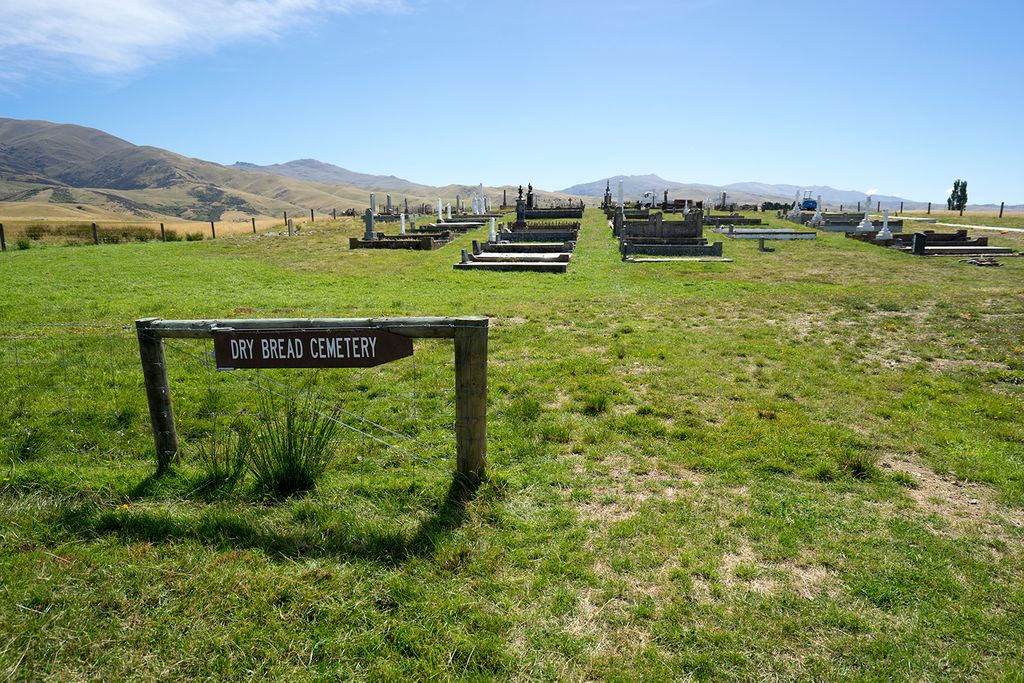
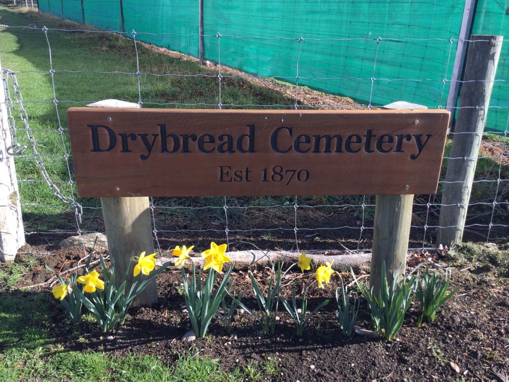
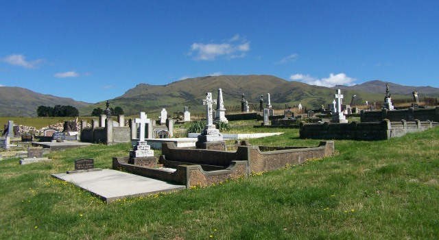
| Description | : | Located at the northern end of the Manuherikia Valley, near the township of Omakau, is the peaceful settlement of Drybread. Once a thriving gold mining settlement, there is very little evidence that remains except for its cemetery. Sitting in solitude at the foot of the Dunstan Range and looking out over the Manuherikia Valley, Drybread Cemetery contains graves of early pioneers as well as later burials. The first burial is recorded as Thomas Greenback who was buried in the cemetery after accidentally drowning aged 18 months, on 28 February 1870. Unmarked graves of Chinese gold miners are also thought to... Read More |
frequently asked questions (FAQ):
-
Where is Drybread Cemetery?
Drybread Cemetery is located at Lauder, Central Otago District ,Otago ,New Zealand.
-
Drybread Cemetery cemetery's updated grave count on graveviews.com?
2 memorials
-
Where are the coordinates of the Drybread Cemetery?
Latitude: -44.9974100
Longitude: 169.6075300

Nearby Cemetories:
1. Blacks Cemetery
Omakau, Central Otago District, New Zealand
Coordinate: -45.0895900, 169.6034000
2. St Bathans Public Cemetery
Saint Bathans, Central Otago District, New Zealand
Coordinate: -44.8734250, 169.7990450
3. St Bathans Catholic Cemetery
Saint Bathans, Central Otago District, New Zealand
Coordinate: -44.8699930, 169.8090290
4. Tarras Cemetery
Tarras, Central Otago District, New Zealand
Coordinate: -44.8356000, 169.4408100
5. Blackstone Cemetery
Blackstone Hill, Central Otago District, New Zealand
Coordinate: -44.9458300, 169.9061800
6. Moa Creek Cemetery
Moa Creek, Central Otago District, New Zealand
Coordinate: -45.2102100, 169.6869300
7. Clyde Cemetery
Clyde, Central Otago District, New Zealand
Coordinate: -45.1941880, 169.3398930
8. St. Michael & All Angels Church Cemetery
Clyde, Central Otago District, New Zealand
Coordinate: -45.1887000, 169.3172167
9. Litany Street Cemetery
Cromwell, Central Otago District, New Zealand
Coordinate: -45.0428540, 169.2100400
10. St. Andrew's Anglican Church
Cromwell, Central Otago District, New Zealand
Coordinate: -45.0475370, 169.2098760
11. Alexandra Cemetery
Alexandra, Central Otago District, New Zealand
Coordinate: -45.2397700, 169.3935560
12. Manuherikia Junction Cemetery
Alexandra, Central Otago District, New Zealand
Coordinate: -45.2614850, 169.3977150
13. Cromwell Cemetery
Cromwell, Central Otago District, New Zealand
Coordinate: -45.0528700, 169.1732500
14. Gimmerburn
Gimmerburn, Central Otago District, New Zealand
Coordinate: -45.1491200, 170.0042000
15. Naseby Cemetery
Naseby, Central Otago District, New Zealand
Coordinate: -45.0257700, 170.1382300
16. Ranfurly Cemetery
Ranfurly, Central Otago District, New Zealand
Coordinate: -45.1323020, 170.1111260
17. Albert Town Cemetery
Wanaka, Queenstown-Lakes District, New Zealand
Coordinate: -44.6797300, 169.1896200
18. Cardrona Cemetery
Cardrona, Queenstown-Lakes District, New Zealand
Coordinate: -44.8653020, 169.0172270
19. Gorge Creek Miners' Monument
Roxburgh, Central Otago District, New Zealand
Coordinate: -45.3759790, 169.2764350
20. Hawea Cemetery
Lake Hawea, Queenstown-Lakes District, New Zealand
Coordinate: -44.6134880, 169.2818370
21. Wanaka Cemetery
Wanaka, Queenstown-Lakes District, New Zealand
Coordinate: -44.7040270, 169.1260740
22. Hamiltons Cemetery
Waipiata, Central Otago District, New Zealand
Coordinate: -45.2479100, 170.1396780
23. Kyeburn Diggings Cemetery
Kyeburn Diggings, Central Otago District, New Zealand
Coordinate: -45.0174800, 170.2721800
24. Swinburn Cemetery
Central Otago District, New Zealand
Coordinate: -45.1638320, 170.2577850