| Memorials | : | 72 |
| Location | : | Dutch Flat, Placer County, USA |
| Coordinate | : | 39.2055000, -120.8340500 |
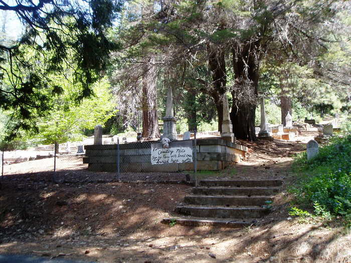
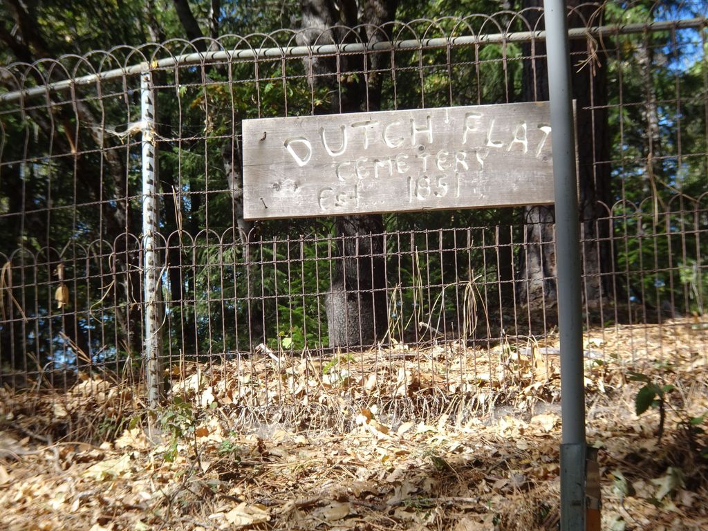
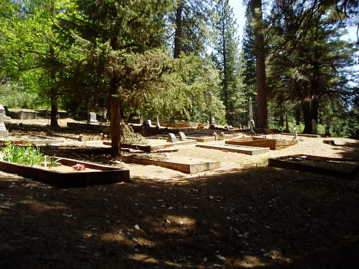
| Description | : | Dutch Flat Cemetery is located in the small town of Dutch Flat, California. It is in Placer County east of Sacramento and is about 1 mile off Interstate 80, a little more than half-way between Sacramento and Truckee, California. The cemetery is on Cemetery Road at GPS coordinates 39.2055 -120.83405 and is at the end of Cemetery Road. There are two parts of the cemetery and I have only added 275 names of the approximately 2/3 of the main cemetery. The remainder will be photographed as soon as feasible. Much of the information of... Read More |
frequently asked questions (FAQ):
-
Where is Dutch Flat Cemetery?
Dutch Flat Cemetery is located at end of Cemetery Road Dutch Flat, Placer County ,California ,USA.
-
Dutch Flat Cemetery cemetery's updated grave count on graveviews.com?
72 memorials
-
Where are the coordinates of the Dutch Flat Cemetery?
Latitude: 39.2055000
Longitude: -120.8340500
Nearby Cemetories:
1. Gold Run Cemetery
Placer County, USA
Coordinate: 39.1757100, -120.8612900
2. You Bet Cemetery
Nevada County, USA
Coordinate: 39.2036050, -120.9054320
3. Red Dog Cemetery
Grass Valley, Nevada County, USA
Coordinate: 39.2173340, -120.9094920
4. Old Iowa Hill Cemetery
Iowa Hill, Placer County, USA
Coordinate: 39.1116667, -120.8575000
5. Iowa Hill Chinese Cemetery
Iowa Hill, Placer County, USA
Coordinate: 39.1113090, -120.8573260
6. Saint Dominics Catholic Cemetery
Iowa Hill, Placer County, USA
Coordinate: 39.1108880, -120.8568740
7. Belle Haven Farm Family Cemetery
Pinecrest, Nevada County, USA
Coordinate: 39.1570100, -120.9664300
8. Saint Paul Lutheran Cemetery
Pinecrest, Nevada County, USA
Coordinate: 39.1475900, -120.9649400
9. Julius Apperson Gravesite
Nevada City, Nevada County, USA
Coordinate: 39.3058660, -120.9134940
10. Colfax Cemetery
Colfax, Placer County, USA
Coordinate: 39.0979522, -120.9471644
11. Omega Cemetery
Omega, Nevada County, USA
Coordinate: 39.3310100, -120.7498500
12. Pine Grove Cemetery
Nevada City, Nevada County, USA
Coordinate: 39.2627780, -121.0052780
13. Deer Creek Cemetery
Nevada City, Nevada County, USA
Coordinate: 39.2625000, -121.0055560
14. Forest View Cemetery
Nevada City, Nevada County, USA
Coordinate: 39.2631100, -121.0054000
15. Colfax Indian Cemetery
Colfax, Placer County, USA
Coordinate: 39.0909900, -120.9503000
16. Nevada City County Hospital Cemetery
Nevada City, Nevada County, USA
Coordinate: 39.2669440, -121.0058330
17. Historic Nevada County Cemetery
Nevada City, Nevada County, USA
Coordinate: 39.2697220, -121.0055560
18. Loma Rica Ranch Burial Site
Grass Valley, Nevada County, USA
Coordinate: 39.2261450, -121.0238470
19. Relief Hill Cemetery
North Bloomfield, Nevada County, USA
Coordinate: 39.3552140, -120.8610870
20. Sierra Memorial Lawn Cemetery
Nevada City, Nevada County, USA
Coordinate: 39.2516670, -121.0216670
21. Washington Cemetery
Washington, Nevada County, USA
Coordinate: 39.3573220, -120.8010220
22. Nevada City Jewish Cemetery
Nevada City, Nevada County, USA
Coordinate: 39.2545590, -121.0233320
23. Pioneer Cemetery
Nevada City, Nevada County, USA
Coordinate: 39.2655560, -121.0241670
24. Saint Canice Cemetery
Nevada City, Nevada County, USA
Coordinate: 39.2669400, -121.0236110


