
| Memorials | : | 248 |
| Location | : | Iowa Hill, Placer County, USA |
| Coordinate | : | 39.1116667, -120.8575000 |
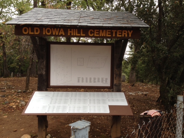
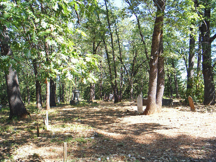
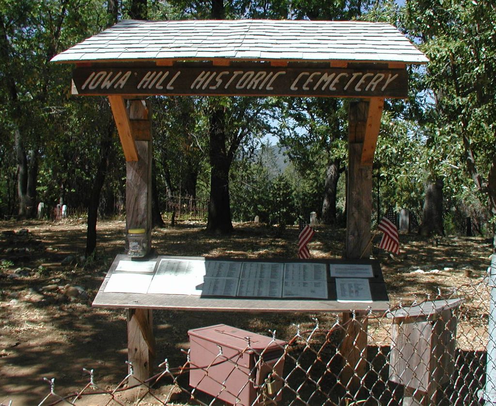
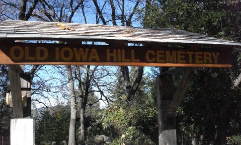
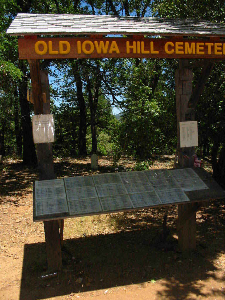
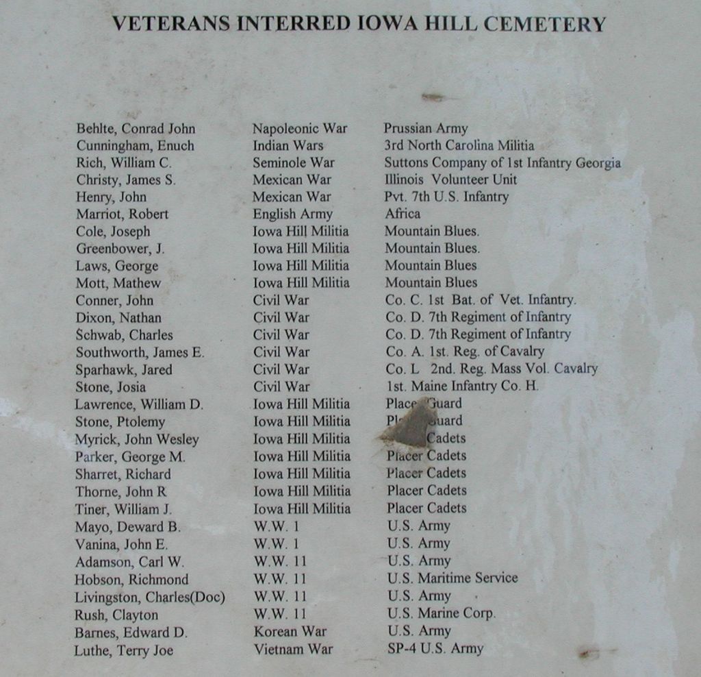
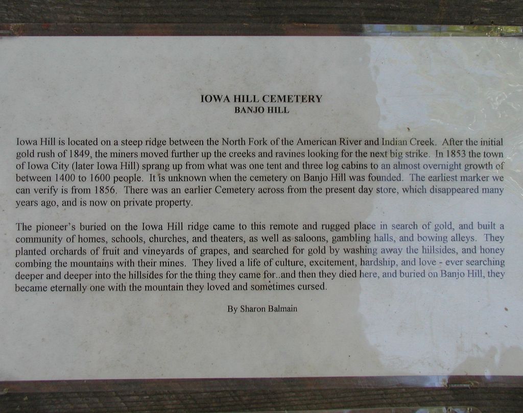
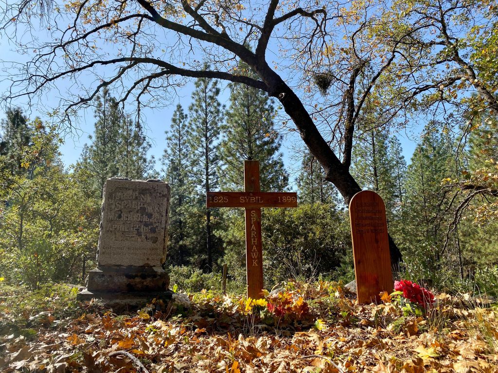
| Description | : | Please do not submit photo requests for this cemetery unless they are for burials later than October 2014. All readable markers for burials prior to October 2014 have already been photographed and uploaded to Find a Grave. The Old Iowa Hill (AKA Protestant, Masonic, I.O.O.F) Cemetery is one of two remaining official cemeteries in Iowa Hill. The other is St. Dominic's Catholic Cemetery. Both are located on Banjo Hill, approximately 1/4 mile northeast of Iowa Hill on the road to Sugar Pine Dam and Foresthill. Click here for a transcription of all known Iowa Hill burials. NOTE: while it is called the... Read More |
frequently asked questions (FAQ):
-
Where is Old Iowa Hill Cemetery?
Old Iowa Hill Cemetery is located at Iowa Hill, Placer County ,California , 95713USA.
-
Old Iowa Hill Cemetery cemetery's updated grave count on graveviews.com?
248 memorials
-
Where are the coordinates of the Old Iowa Hill Cemetery?
Latitude: 39.1116667
Longitude: -120.8575000

Nearby Cemetories:
1. Iowa Hill Chinese Cemetery
Iowa Hill, Placer County, USA
Coordinate: 39.1113090, -120.8573260
2. Saint Dominics Catholic Cemetery
Iowa Hill, Placer County, USA
Coordinate: 39.1108880, -120.8568740
3. Gold Run Cemetery
Placer County, USA
Coordinate: 39.1757100, -120.8612900
4. Colfax Cemetery
Colfax, Placer County, USA
Coordinate: 39.0979522, -120.9471644
5. Colfax Indian Cemetery
Colfax, Placer County, USA
Coordinate: 39.0909900, -120.9503000
6. Yankee Jims Cemetery
Foresthill, Placer County, USA
Coordinate: 39.0292511, -120.8614349
7. Saint Paul Lutheran Cemetery
Pinecrest, Nevada County, USA
Coordinate: 39.1475900, -120.9649400
8. Dutch Flat Cemetery
Dutch Flat, Placer County, USA
Coordinate: 39.2055000, -120.8340500
9. Belle Haven Farm Family Cemetery
Pinecrest, Nevada County, USA
Coordinate: 39.1570100, -120.9664300
10. Saint Joseph Catholic Cemetery
Foresthill, Placer County, USA
Coordinate: 39.0240200, -120.8068800
11. You Bet Cemetery
Nevada County, USA
Coordinate: 39.2036050, -120.9054320
12. Foresthill Community Cemetery
Foresthill, Placer County, USA
Coordinate: 39.0184500, -120.8114700
13. Red Dog Cemetery
Grass Valley, Nevada County, USA
Coordinate: 39.2173340, -120.9094920
14. Todd Valley Cemetery
Placer County, USA
Coordinate: 38.9970900, -120.8541000
15. Michigan Bluff Cemetery
Placer County, USA
Coordinate: 39.0409400, -120.7401200
16. Odd Fellows Cemetery
Michigan Bluff, Placer County, USA
Coordinate: 39.0449240, -120.7361840
17. Deadwood Cemetery
Foresthill, Placer County, USA
Coordinate: 39.0447700, -120.7361200
18. Spring Garden Indian Cemetery
Foresthill, Placer County, USA
Coordinate: 38.9998620, -120.9049310
19. Weimar Sanatorium Cemetery
Weimar, Placer County, USA
Coordinate: 39.0350200, -120.9834400
20. Stoney Bar Cemetery
Foresthill, Placer County, USA
Coordinate: 39.0114980, -120.7408060
21. Josephine Mine Cemetery
Volcanoville, El Dorado County, USA
Coordinate: 38.9798000, -120.7892170
22. Esoteric Fraternity Cemetery
Applegate, Placer County, USA
Coordinate: 38.9946190, -120.9687490
23. Cunningham Cemetery
Grass Valley, Nevada County, USA
Coordinate: 39.1105600, -121.0756000
24. Loma Rica Ranch Burial Site
Grass Valley, Nevada County, USA
Coordinate: 39.2261450, -121.0238470