
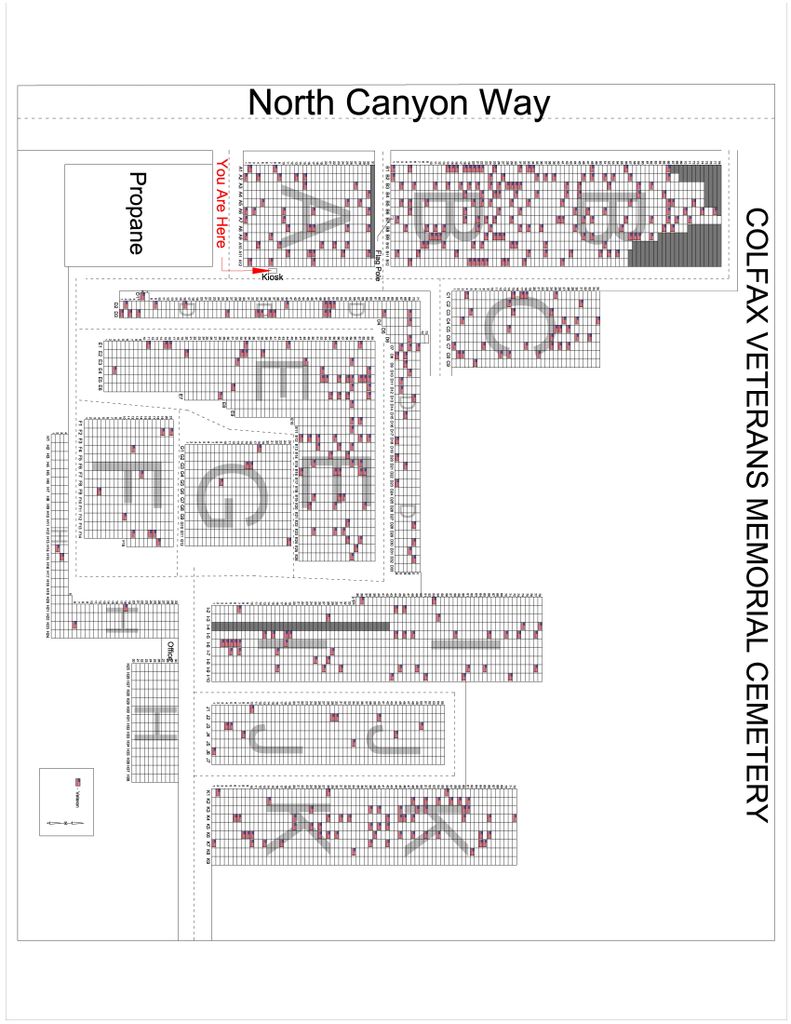
| Memorials | : | 34 |
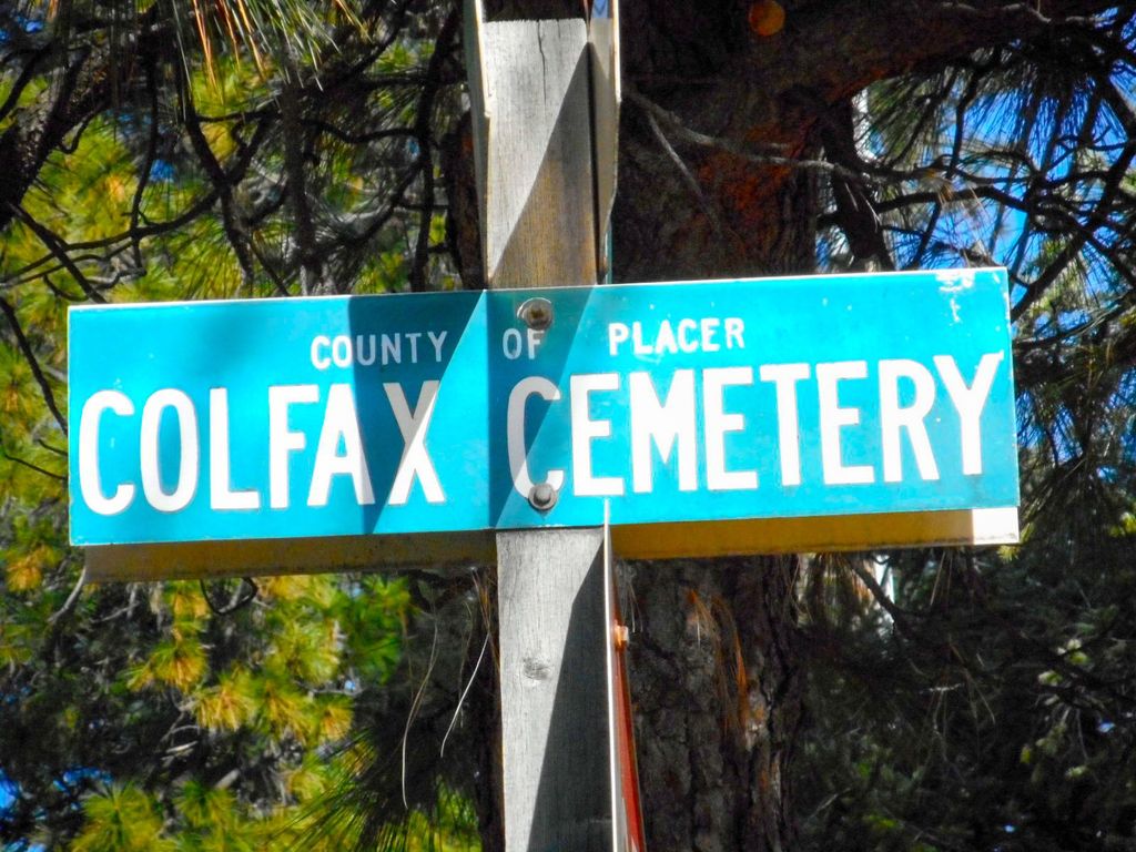
| Location | : | Colfax, Placer County, USA |
| Phone | : | (530) 346-9577 |
| Coordinate | : | 39.0979522, -120.9471644 |
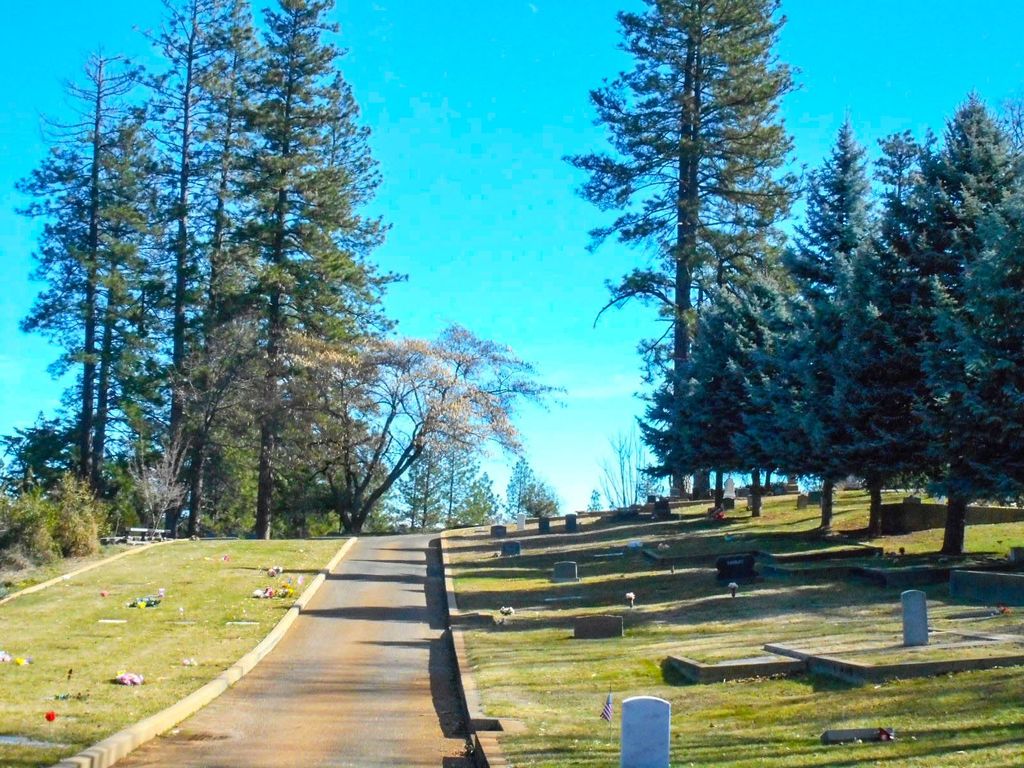
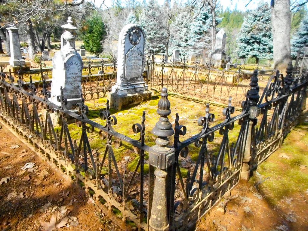
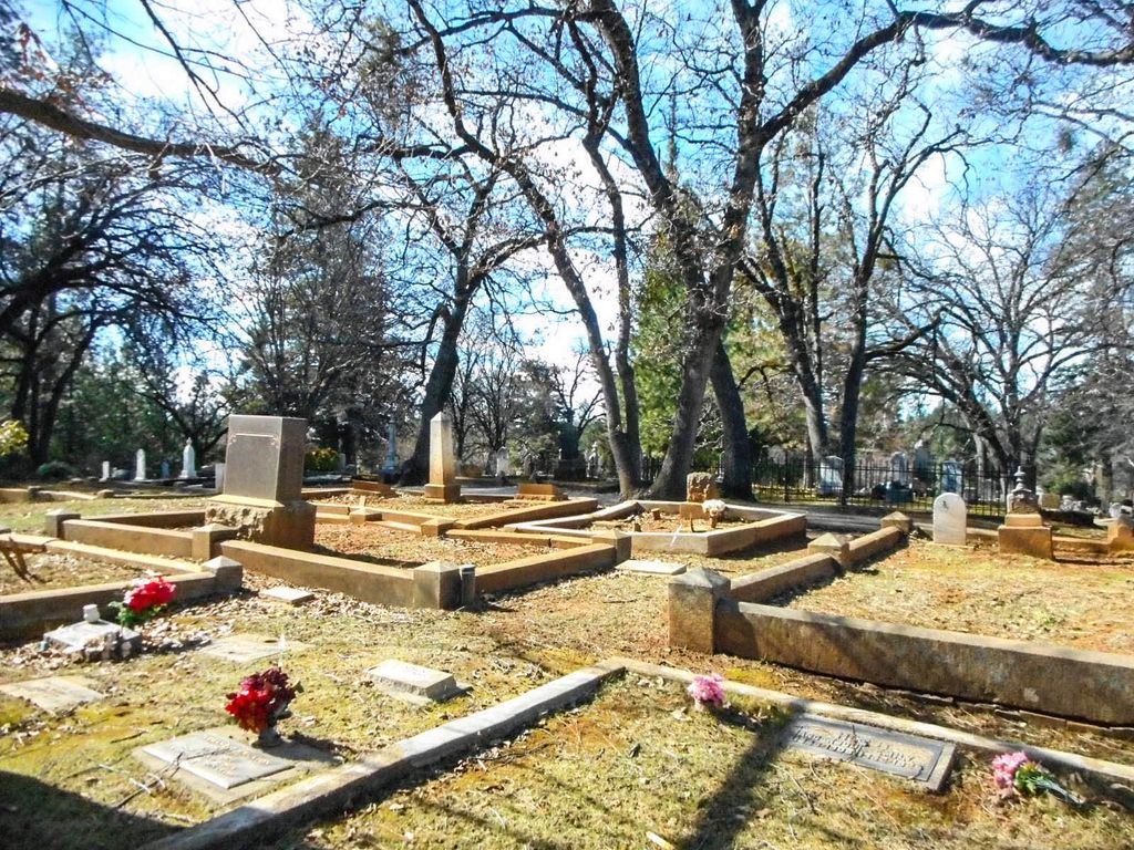
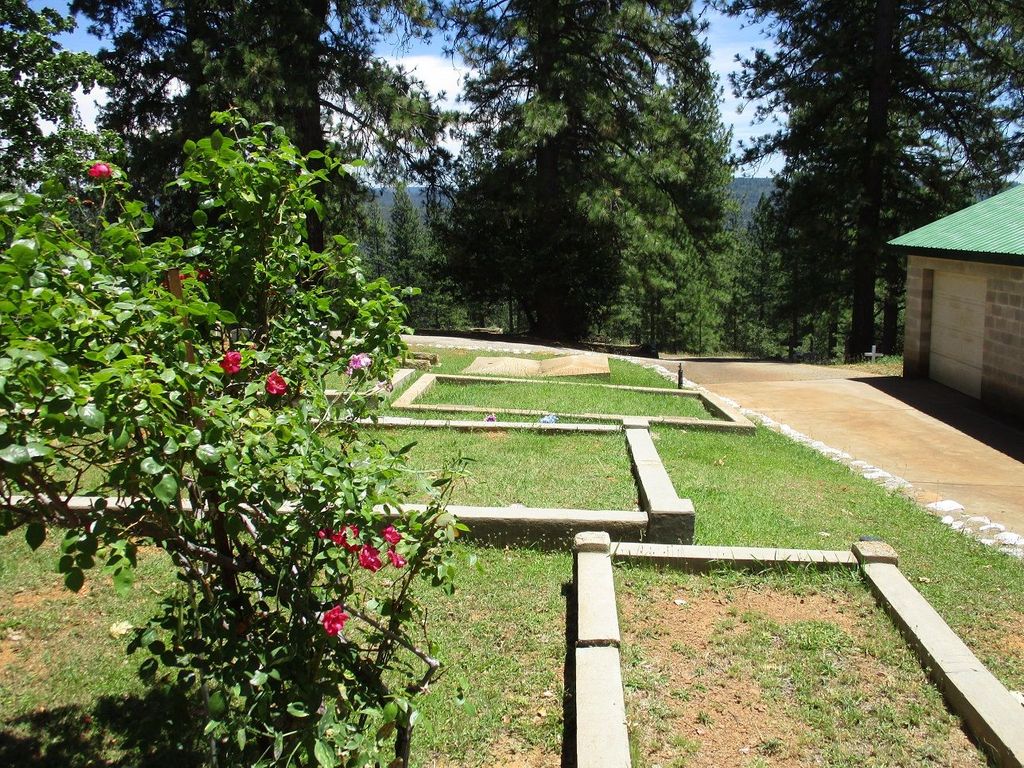
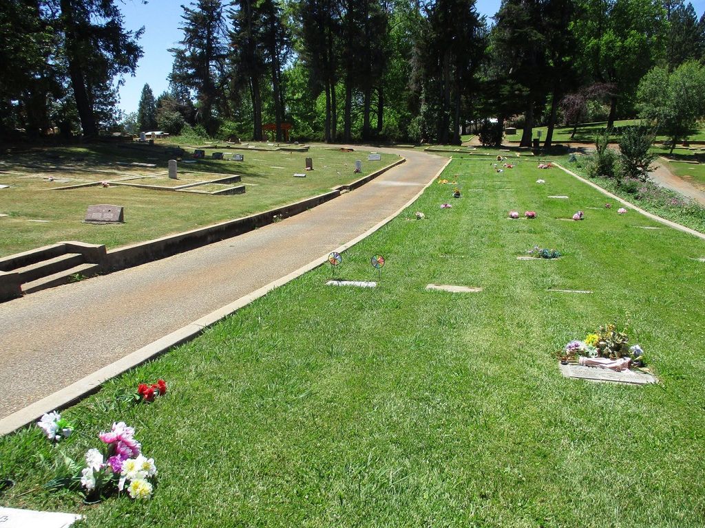
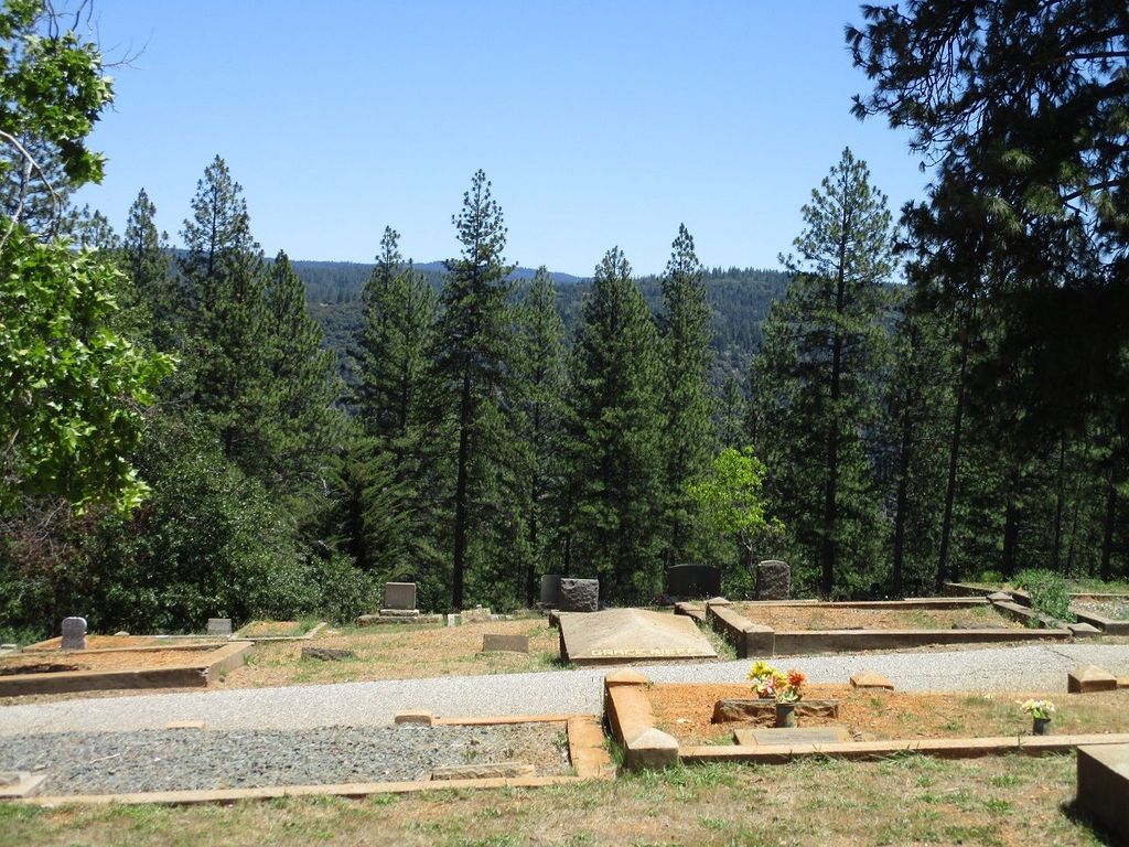
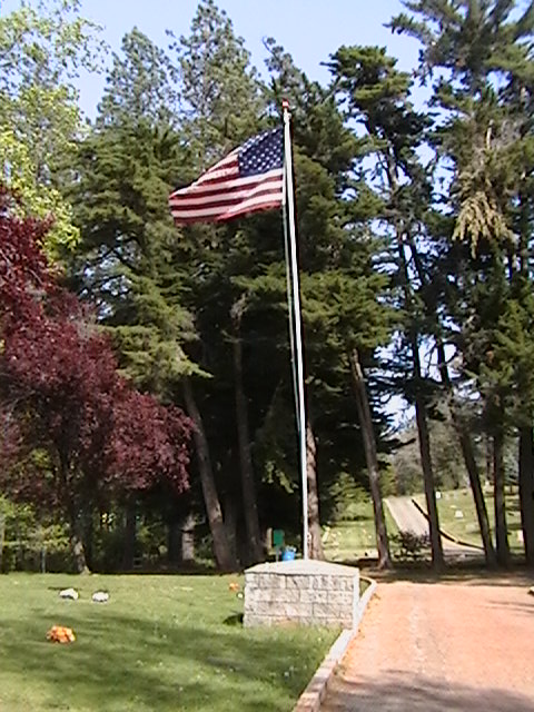
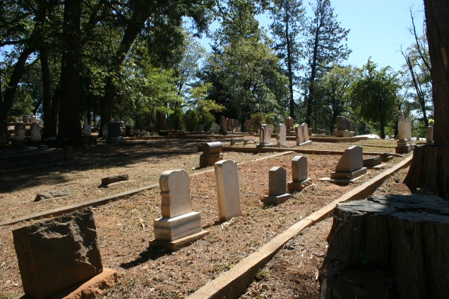
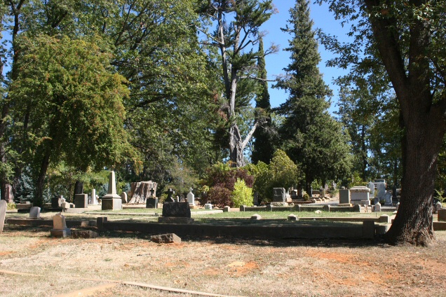
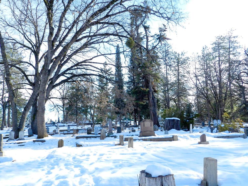
| Description | : | In the 1850’s, during the California Gold Rush years, small mining towns in the Sierras began informally setting aside “Boot Hills” for burials. One such was in Illinoistown which later became known as Colfax in the 1860’s with the completion of the Central Pacific Railroad and a visit by Vice President Schuyler Colfax. Land for a cemetery was conveyed to the town of Colfax by John Burns and J.F. Seims. Some of the burials from the Illinoistown “Boot Hill” were re-interred at Colfax Cemetery. The oldest known tombstone (with the death date of 1851) is for... Read More |
frequently asked questions (FAQ):
-
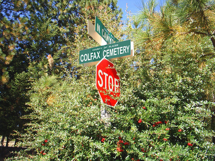
Where is Colfax Cemetery?
Colfax Cemetery is located at 180 N Canyon Way Colfax, Placer County ,California , 95713USA.
-
Colfax Cemetery cemetery's updated grave count on graveviews.com?
32 memorials
-
Where are the coordinates of the Colfax Cemetery?
Latitude: 39.0979522
Longitude: -120.9471644
Nearby Cemetories:
1. Colfax Indian Cemetery
Colfax, Placer County, USA
Coordinate: 39.0909900, -120.9503000
2. Saint Paul Lutheran Cemetery
Pinecrest, Nevada County, USA
Coordinate: 39.1475900, -120.9649400
3. Belle Haven Farm Family Cemetery
Pinecrest, Nevada County, USA
Coordinate: 39.1570100, -120.9664300
4. Weimar Sanatorium Cemetery
Weimar, Placer County, USA
Coordinate: 39.0350200, -120.9834400
5. Old Iowa Hill Cemetery
Iowa Hill, Placer County, USA
Coordinate: 39.1116667, -120.8575000
6. Iowa Hill Chinese Cemetery
Iowa Hill, Placer County, USA
Coordinate: 39.1113090, -120.8573260
7. Saint Dominics Catholic Cemetery
Iowa Hill, Placer County, USA
Coordinate: 39.1108880, -120.8568740
8. Yankee Jims Cemetery
Foresthill, Placer County, USA
Coordinate: 39.0292511, -120.8614349
9. Cunningham Cemetery
Grass Valley, Nevada County, USA
Coordinate: 39.1105600, -121.0756000
10. Gold Run Cemetery
Placer County, USA
Coordinate: 39.1757100, -120.8612900
11. Spring Garden Indian Cemetery
Foresthill, Placer County, USA
Coordinate: 38.9998620, -120.9049310
12. Esoteric Fraternity Cemetery
Applegate, Placer County, USA
Coordinate: 38.9946190, -120.9687490
13. You Bet Cemetery
Nevada County, USA
Coordinate: 39.2036050, -120.9054320
14. Red Dog Cemetery
Grass Valley, Nevada County, USA
Coordinate: 39.2173340, -120.9094920
15. Todd Valley Cemetery
Placer County, USA
Coordinate: 38.9970900, -120.8541000
16. Saint Joseph Catholic Cemetery
Foresthill, Placer County, USA
Coordinate: 39.0240200, -120.8068800
17. Foresthill Community Cemetery
Foresthill, Placer County, USA
Coordinate: 39.0184500, -120.8114700
18. Clipper Gap Cemetery
Clipper Gap, Placer County, USA
Coordinate: 38.9784880, -121.0256590
19. Dutch Flat Cemetery
Dutch Flat, Placer County, USA
Coordinate: 39.2055000, -120.8340500
20. Loma Rica Ranch Burial Site
Grass Valley, Nevada County, USA
Coordinate: 39.2261450, -121.0238470
21. New Elm Ridge Cemetery
Grass Valley, Nevada County, USA
Coordinate: 39.2183230, -121.0529100
22. Old Elm Ridge Cemetery
Grass Valley, Nevada County, USA
Coordinate: 39.2188300, -121.0537400
23. Odd Fellows and Masonic Cemetery
Grass Valley, Nevada County, USA
Coordinate: 39.2181900, -121.0551100
24. Red Men Cemetery
Grass Valley, Nevada County, USA
Coordinate: 39.2189400, -121.0544800