
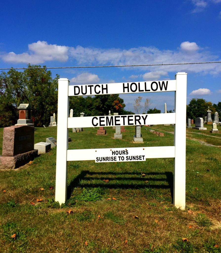
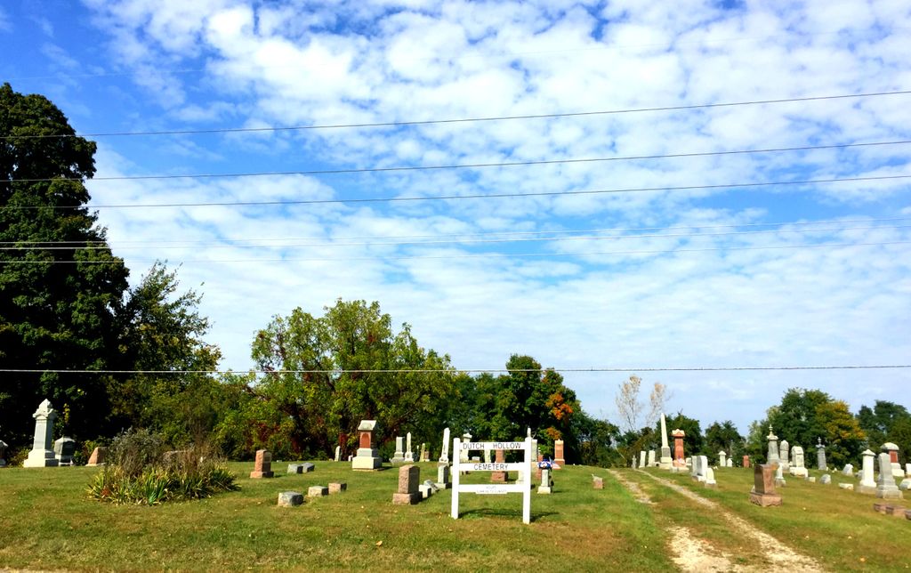
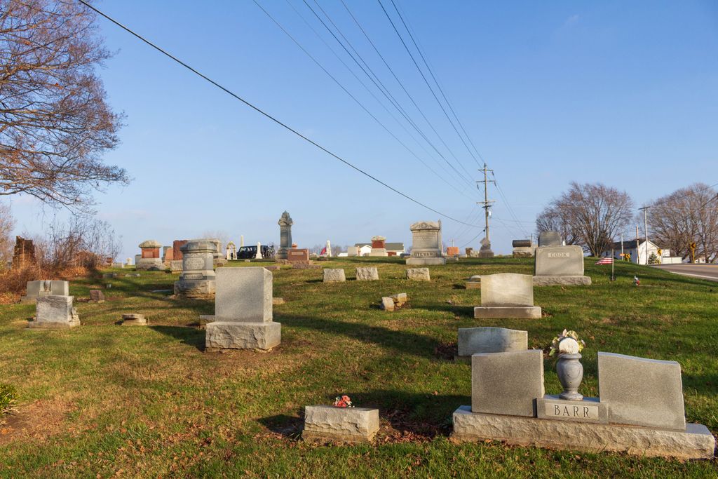
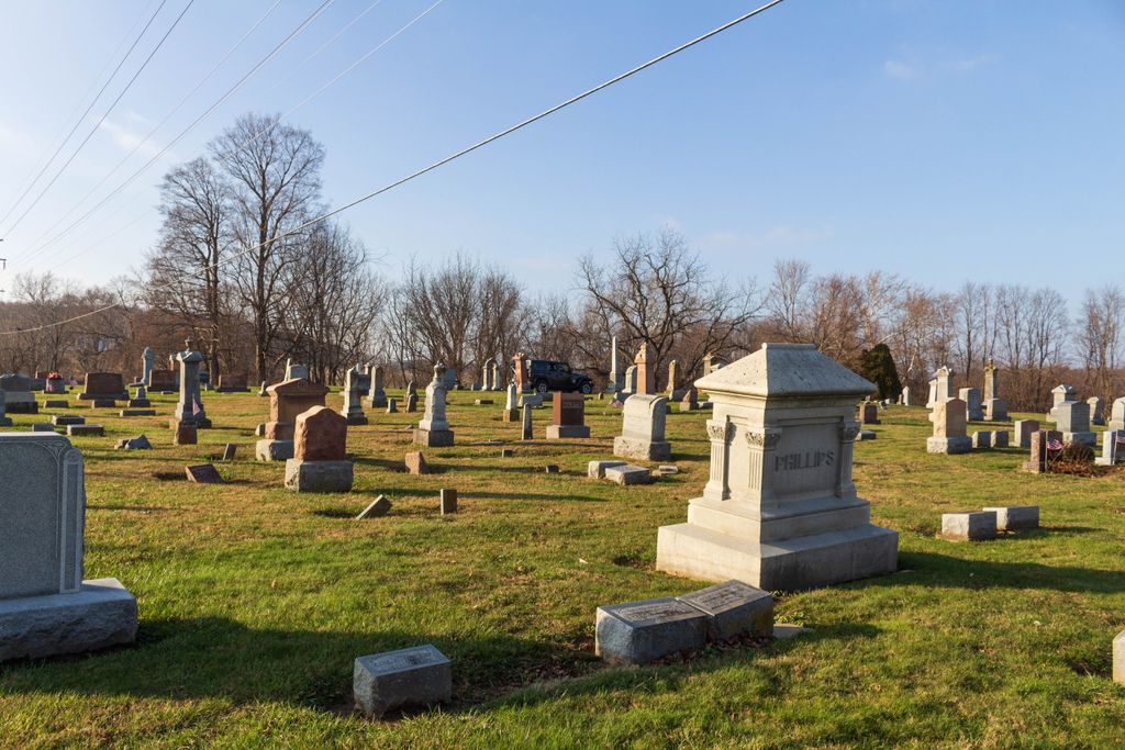
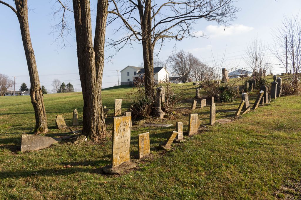
| Memorials | : | 314 |
| Location | : | Amanda, Fairfield County, USA |
| Coordinate | : | 39.6478004, -82.7897034 |
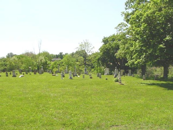
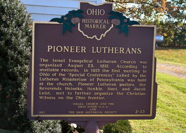
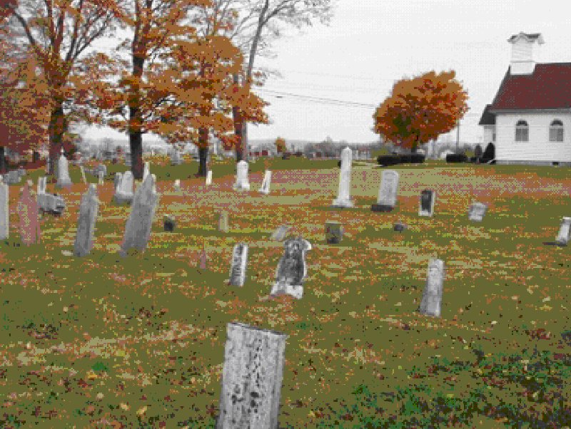
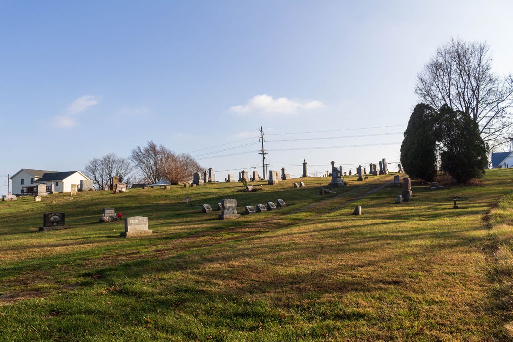
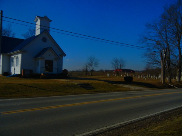
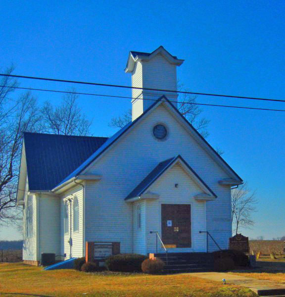
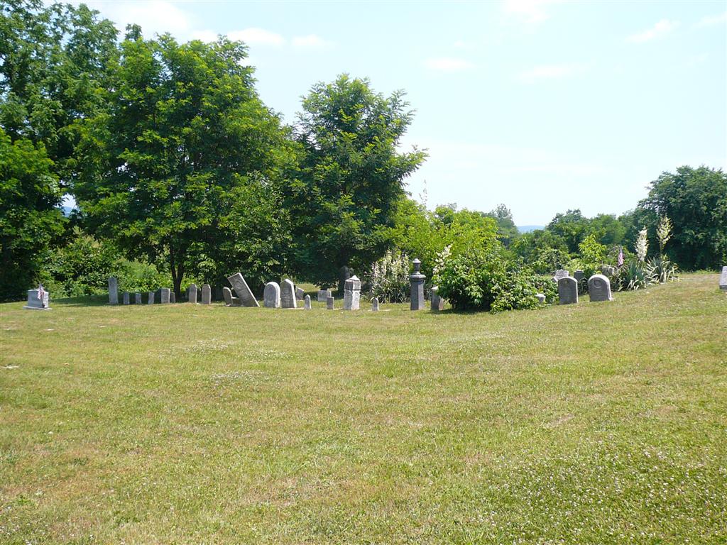
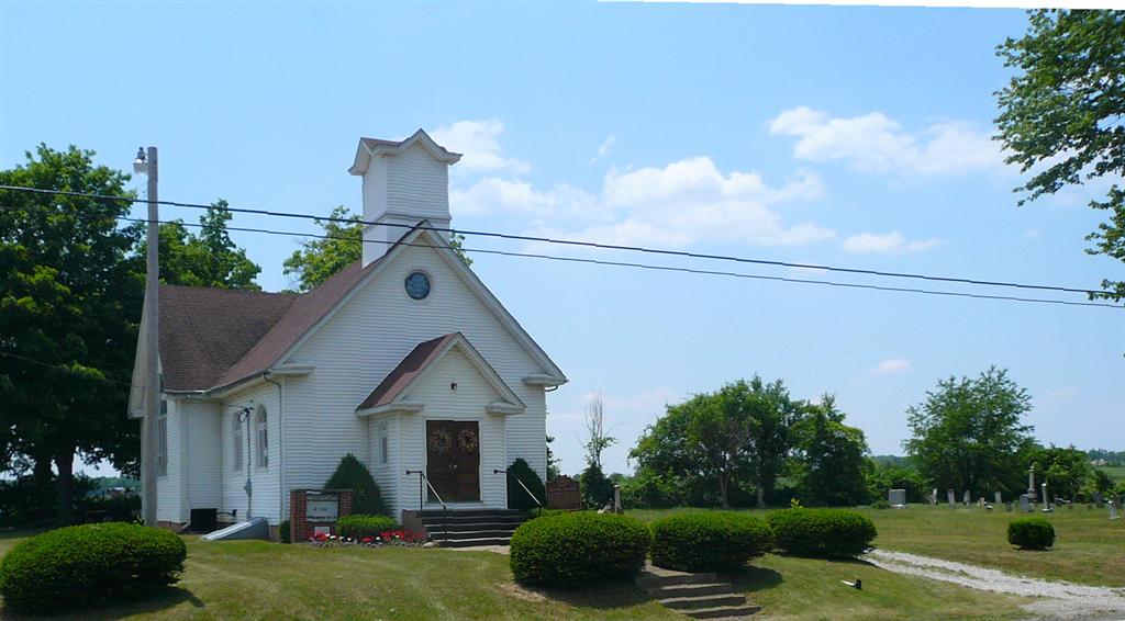
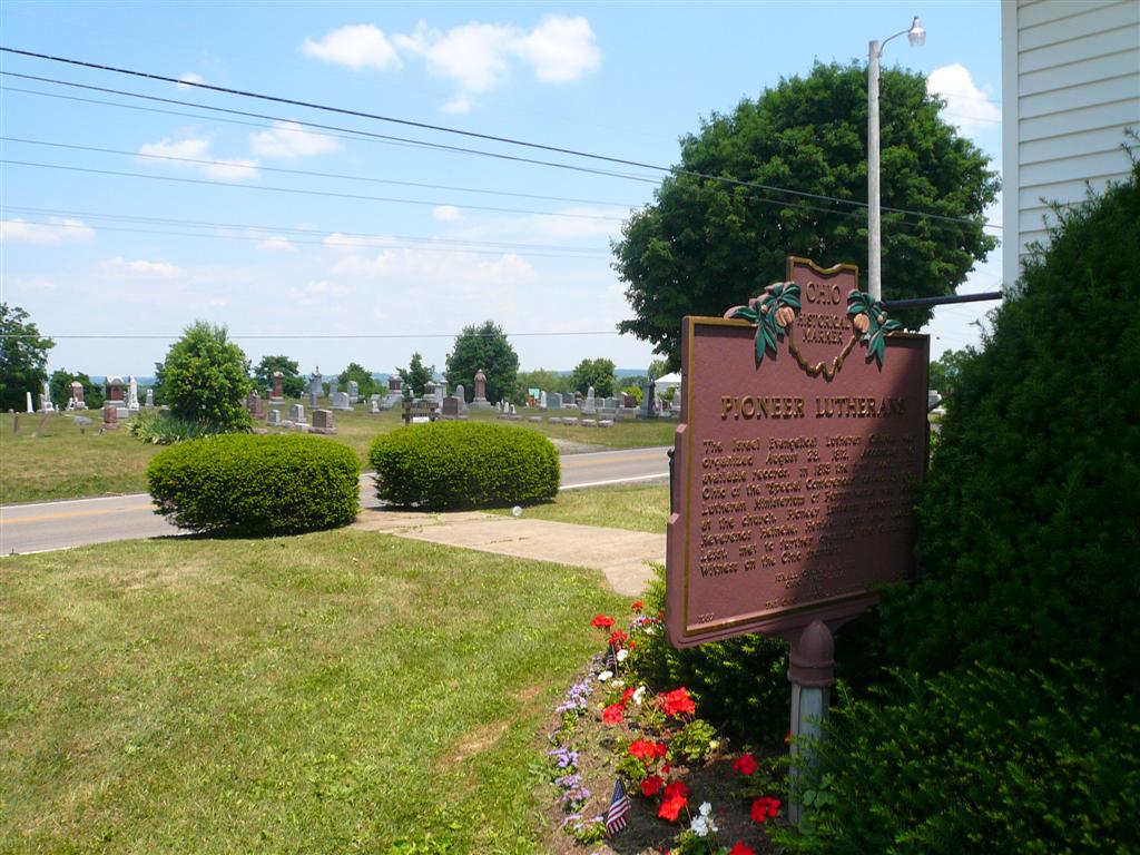
| Description | : | The cemetery is located on the north side of Cincinnati-Zanesville Road Southwest (US 22) about 250 west of its intersection with 16th Road (County Road 12). The separate Israel Luthern Cemetery (Old Dutch Hollow Cemetery) is on the opposite (north) side of Cincinnati-Zanesville Road. The cemetery is located in Amada Township, Fairfield County, Ohio, and is # 3059 (New Dutch Hollow Cemetery / Dutch Hollow Cemetery) in “Ohio Cemeteries 1803-2003”, compiled by the Ohio Genealogical Society. The U.S. Geological Survey (USGS) Geographic Names Information System (GNIS) feature ID for the cemetery is 1039901 (Dutch Hollow Cemetery / Dutch Hollow... Read More |
frequently asked questions (FAQ):
-
Where is Dutch Hollow Cemetery?
Dutch Hollow Cemetery is located at Cincinnati-Zanesville Road Southwest (US 22) Amanda, Fairfield County ,Ohio , 43102USA.
-
Dutch Hollow Cemetery cemetery's updated grave count on graveviews.com?
311 memorials
-
Where are the coordinates of the Dutch Hollow Cemetery?
Latitude: 39.6478004
Longitude: -82.7897034

Nearby Cemetories:
1. Old Dutch Hollow Cemetery
Amanda, Fairfield County, USA
Coordinate: 39.6466410, -82.7908450
2. Mace Cemetery
Amanda, Fairfield County, USA
Coordinate: 39.6474710, -82.7978680
3. Nigh Family Cemetery
Fairfield County, USA
Coordinate: 39.6409683, -82.7604141
4. Amanda Presbyterian Cemetery
Amanda, Fairfield County, USA
Coordinate: 39.6481300, -82.7421200
5. Old Conrad Cemetery
Amanda, Fairfield County, USA
Coordinate: 39.6153720, -82.7594120
6. Conrad Cemetery
Amanda, Fairfield County, USA
Coordinate: 39.6156006, -82.7568970
7. Turkey Run Baptist Church Cemetery
Lancaster, Fairfield County, USA
Coordinate: 39.6817017, -82.8246994
8. Amanda Township Cemetery
Amanda, Fairfield County, USA
Coordinate: 39.6871986, -82.7652969
9. Emanuel Mennonite Church Cemetery
Amanda, Fairfield County, USA
Coordinate: 39.6171580, -82.7471100
10. Stout Family Cemetery
Washington Township, Pickaway County, USA
Coordinate: 39.6241989, -82.8439026
11. Peters-Tallman Cemetery
East Ringgold, Pickaway County, USA
Coordinate: 39.6830030, -82.8358830
12. Heidelberg Reformed Church Cemetery
Stoutsville, Fairfield County, USA
Coordinate: 39.6047783, -82.8269348
13. Maple Hill Cemetery
Stoutsville, Fairfield County, USA
Coordinate: 39.6006012, -82.8227997
14. Ritter Cemetery
East Ringgold, Pickaway County, USA
Coordinate: 39.6741982, -82.8514023
15. Bethany Cemetery
Circleville, Pickaway County, USA
Coordinate: 39.6437700, -82.8643000
16. Van Meter Cemetery
Lancaster, Fairfield County, USA
Coordinate: 39.6872617, -82.7346100
17. Haas-Peters Cemetery
Amanda, Fairfield County, USA
Coordinate: 39.7026200, -82.7634000
18. Old Lutheran Cemetery
East Ringgold, Pickaway County, USA
Coordinate: 39.6657100, -82.8619800
19. Zinser Cemetery
Circleville, Pickaway County, USA
Coordinate: 39.6513090, -82.8660930
20. Wolf Cemetery
Stoutsville, Fairfield County, USA
Coordinate: 39.5901600, -82.8070200
21. Wagner Farm Cemetery
Walnut, Pickaway County, USA
Coordinate: 39.6511700, -82.8674000
22. Swope Cemetery
Amanda, Fairfield County, USA
Coordinate: 39.7089800, -82.8138100
23. Walter Leist Farm Cemetery
Circleville, Pickaway County, USA
Coordinate: 39.6384060, -82.8743330
24. Infirmary Cemetery
Pickaway County, USA
Coordinate: 39.6183014, -82.8675003