
| Memorials | : | 1 |
| Location | : | Manhattan, New York County (Manhattan), USA |
| Coordinate | : | 40.7060300, -74.0133600 |
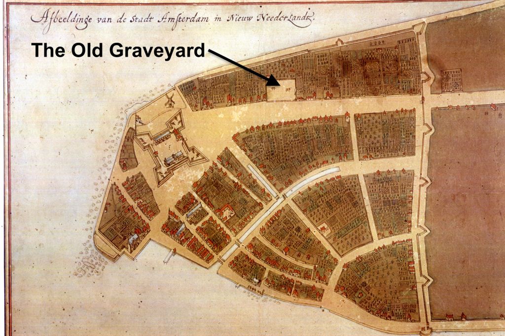
| Description | : | The Dutch Reformed Church of New Amsterdam was also known as: ▫ Nederlands Hervormde Kerk, Nieuw Amsterdam, Nieuw Nederland ▫ The Church of Saint Nicholas ▫ The Stone Church ▫ Collegiate Reformed Protestant Dutch Church Fort Amsterdam preceded the stone church, which was built inside the fort in 1642 by John Ogden and Richard Ogden, under contract with Willem Kieft, director of New Netherland. The stone church replaced an earlier wooden church located outside the fort nearby on Pearl Street built in 1633. The new church measured 72 feet by 54 feet, and it was the home of the Collegiate Reformed Protestant Dutch Church for fifty-one... Read More |
frequently asked questions (FAQ):
-
Where is Dutch Reformed Church Cemetery?
Dutch Reformed Church Cemetery is located at west side of Broadway near Morris Street Manhattan, New York County (Manhattan) ,New York , 10006USA.
-
Dutch Reformed Church Cemetery cemetery's updated grave count on graveviews.com?
1 memorials
-
Where are the coordinates of the Dutch Reformed Church Cemetery?
Latitude: 40.7060300
Longitude: -74.0133600
Nearby Cemetories:
1. Trinity Lutheran Churchyard
Manhattan, New York County (Manhattan), USA
Coordinate: 40.7073870, -74.0122470
2. Fort George Chapel
New York, New York County (Manhattan), USA
Coordinate: 40.7042940, -74.0137730
3. South Dutch Churchyard
Manhattan, New York County (Manhattan), USA
Coordinate: 40.7060930, -74.0105060
4. First Presbyterian Church Wall Street
Manhattan, New York County (Manhattan), USA
Coordinate: 40.7076070, -74.0110900
5. Trinity Churchyard
Manhattan, New York County (Manhattan), USA
Coordinate: 40.7085000, -74.0122100
6. Public Burial Ground of New Amsterdam and New York
Manhattan, New York County (Manhattan), USA
Coordinate: 40.7085490, -74.0118080
7. Cholera Hospital Burial Ground
Manhattan, New York County (Manhattan), USA
Coordinate: 40.7060510, -74.0093190
8. Associate Presbyterian Churchyard
New York County (Manhattan), USA
Coordinate: 40.7083560, -74.0103860
9. French Church of Saint Esprit Cemetery
Manhattan, New York County (Manhattan), USA
Coordinate: 40.7076760, -74.0096140
10. Middle Dutch Church
New York, New York County (Manhattan), USA
Coordinate: 40.7082530, -74.0094650
11. Little Green Street Burial Ground of the Society o
Manhattan, New York County (Manhattan), USA
Coordinate: 40.7092150, -74.0097550
12. East Coast Memorial
Manhattan, New York County (Manhattan), USA
Coordinate: 40.7020378, -74.0160599
13. National September 11 Memorial
Manhattan, New York County (Manhattan), USA
Coordinate: 40.7115200, -74.0133000
14. First Moravian Churchyard
Manhattan, New York County (Manhattan), USA
Coordinate: 40.7097010, -74.0070060
15. Saint Paul's Chapel and Churchyard
Manhattan, New York County (Manhattan), USA
Coordinate: 40.7117800, -74.0096800
16. North Dutch Churchyard
Manhattan, New York County (Manhattan), USA
Coordinate: 40.7098300, -74.0064020
17. Saint Peter's Catholic Church Cemetery
Manhattan, New York County (Manhattan), USA
Coordinate: 40.7121350, -74.0097410
18. Old Brick Presbyterian Church Cemetery
Manhattan, New York County (Manhattan), USA
Coordinate: 40.7116340, -74.0064030
19. Second African Burial Ground
Manhattan, New York County (Manhattan), USA
Coordinate: 40.7144400, -74.0047200
20. African Burial Ground National Monument
New York, New York County (Manhattan), USA
Coordinate: 40.7144400, -74.0047200
21. Duane Street Methodist Church Cemetery
New York, New York County (Manhattan), USA
Coordinate: 40.7171050, -74.0092460
22. First Cemetery of Congregation Shearith Israel
Chinatown, New York County (Manhattan), USA
Coordinate: 40.7129211, -73.9985352
23. Oliver Street Baptist Churchyard
Manhattan, New York County (Manhattan), USA
Coordinate: 40.7128470, -73.9977730
24. First Moravian Church Fresh Water Burial Ground
Manhattan, New York County (Manhattan), USA
Coordinate: 40.7151210, -73.9985380