
| Memorials | : | 146 |
| Location | : | Estherville, Emmet County, USA |
| Coordinate | : | 43.4068985, -94.8264008 |
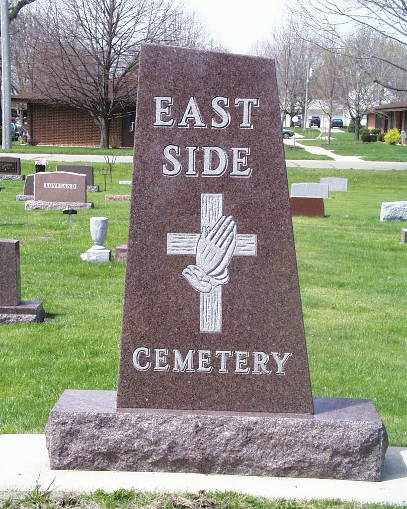
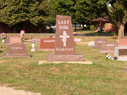
| Description | : | East Side Cemetery is located in Estherville; Estherville Township; Emmet County, Iowa. The East Side Cemetery is probably the oldest cemetery in Emmet county. It is located within the city limits in the northeast part of the city. It was platted and established on July 14, 1866, at which time James L. L. Riggs and his wife Minerva made a deed to an association conveying a certain tract of land in Section 11, Township 99, Range 34, to said association to be used as a burial place. On Nov. 17, 1900, the Estherville Cemetery Association was incorporated by Howard Graves, Eliza Bemis,... Read More |
frequently asked questions (FAQ):
-
Where is East Side Cemetery?
East Side Cemetery is located at Estherville, Emmet County ,Iowa ,USA.
-
East Side Cemetery cemetery's updated grave count on graveviews.com?
125 memorials
-
Where are the coordinates of the East Side Cemetery?
Latitude: 43.4068985
Longitude: -94.8264008
Nearby Cemetories:
1. East Side Memorial Cemetery
Estherville, Emmet County, USA
Coordinate: 43.4267750, -94.8265600
2. Oak Hill Cemetery
Estherville, Emmet County, USA
Coordinate: 43.3986015, -94.8518982
3. Norwegian Cemetery
Estherville, Emmet County, USA
Coordinate: 43.4291992, -94.8261032
4. Saint Patricks Cemetery
Estherville, Emmet County, USA
Coordinate: 43.3843994, -94.8283005
5. Estherville Lutheran Cemetery
Estherville, Emmet County, USA
Coordinate: 43.4298000, -94.8263000
6. Prosser Cemetery
Estherville, Emmet County, USA
Coordinate: 43.4422000, -94.7783000
7. Superior Township Cemetery
Superior, Dickinson County, USA
Coordinate: 43.4399986, -94.9533005
8. Wallingford Lutheran Cemetery
Wallingford, Emmet County, USA
Coordinate: 43.3128014, -94.7731018
9. Union State Line Cemetery
Dickinson County, USA
Coordinate: 43.4928017, -94.9156036
10. Center Township Cemetery
Emmet County, USA
Coordinate: 43.3608000, -94.6790000
11. Ellsworth Cemetery
Emmet County, USA
Coordinate: 43.5005989, -94.7249985
12. Richland Township Cemetery
Terril, Dickinson County, USA
Coordinate: 43.3565323, -94.9927821
13. Petersburg Cemetery
Jackson County, USA
Coordinate: 43.5224991, -94.9182968
14. Fairview Cemetery
Terril, Dickinson County, USA
Coordinate: 43.2977982, -94.9349976
15. Swan Lake Township Cemetery
Maple Hill, Emmet County, USA
Coordinate: 43.3850746, -94.6381378
16. High Lake Jack Creek Cemetery
Wallingford, Emmet County, USA
Coordinate: 43.3006500, -94.7000620
17. Saint Johns Lutheran Cemetery
Petersburg, Jackson County, USA
Coordinate: 43.5442009, -94.8780975
18. Lincoln Township Cemetery
Dolliver, Emmet County, USA
Coordinate: 43.4441986, -94.6204987
19. Graettinger City Cemetery
Graettinger, Palo Alto County, USA
Coordinate: 43.2550011, -94.7722015
20. Palestine Cemetery
Dolliver, Emmet County, USA
Coordinate: 43.4880000, -94.6408000
21. Saint Jacobs Cemetery
Graettinger, Palo Alto County, USA
Coordinate: 43.2546997, -94.7705994
22. Lake Fremont Cemetery
Dunnell, Martin County, USA
Coordinate: 43.5691986, -94.7746964
23. Lake Belt Cemetery
Ceylon, Martin County, USA
Coordinate: 43.5353012, -94.6742020
24. Valley View Cemetery
Walnut Township, Palo Alto County, USA
Coordinate: 43.2428000, -94.7212000