
| Memorials | : | 0 |
| Location | : | Lelant, Cornwall Unitary Authority, England |
| Coordinate | : | 50.1885730, -5.4367950 |
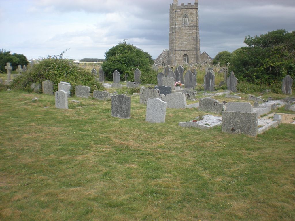
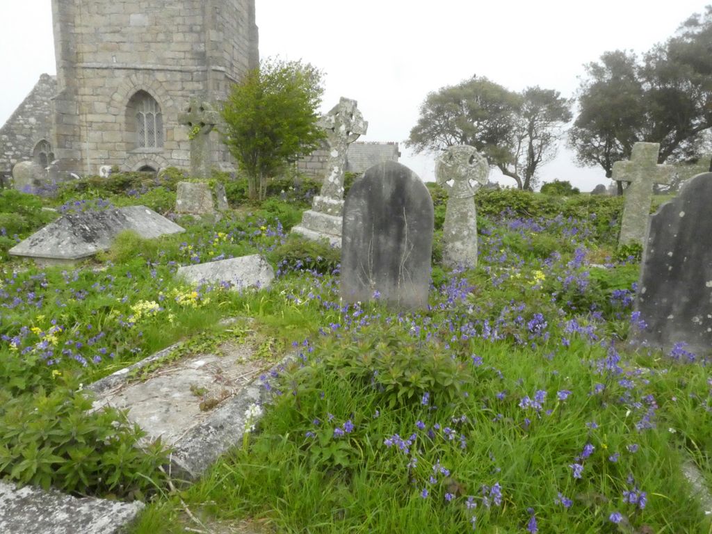
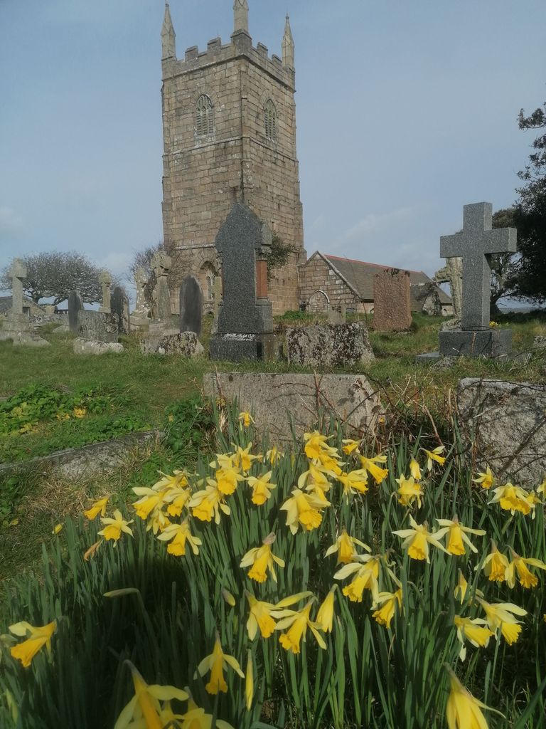
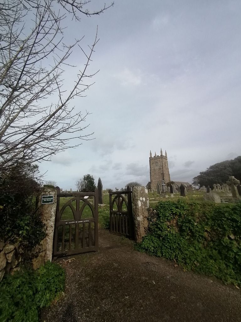
| Description | : | Lies immediately to the west of the original Lelant churchyard (St. Uny) and was consecrated 28 May 1877, after the original burial ground was filled. This cemetery was for Anglican burials only. It was augmented by the Southern Cemetery in 1938, but burials still continued in Eastern after that date. It is now full and closed to further burials. |
frequently asked questions (FAQ):
-
Where is Eastern Anglican Cemetery?
Eastern Anglican Cemetery is located at Church Lane Lelant, Cornwall Unitary Authority ,Cornwall ,England.
-
Eastern Anglican Cemetery cemetery's updated grave count on graveviews.com?
0 memorials
-
Where are the coordinates of the Eastern Anglican Cemetery?
Latitude: 50.1885730
Longitude: -5.4367950
Nearby Cemetories:
1. Western Non-Anglican Cemetery
Lelant, Cornwall Unitary Authority, England
Coordinate: 50.1887070, -5.4373470
2. St. Uny Churchyard Old
Lelant, Cornwall Unitary Authority, England
Coordinate: 50.1887240, -5.4362110
3. Southern Anglican Cemetery
Lelant, Cornwall Unitary Authority, England
Coordinate: 50.1879380, -5.4361620
4. Rescorla Monument
Hayle, Cornwall Unitary Authority, England
Coordinate: 50.1857330, -5.4215940
5. Longstone Cemetery
Carbis Bay, Cornwall Unitary Authority, England
Coordinate: 50.1918260, -5.4605190
6. St Felicitas and St Piala Churchyard
Hayle, Cornwall Unitary Authority, England
Coordinate: 50.1961600, -5.4124860
7. Gwinear Parish Church Cemetery
Gwinear, Cornwall Unitary Authority, England
Coordinate: 50.1879940, -5.3714960
8. St. Gwinear Churchyard
Gwinear, Cornwall Unitary Authority, England
Coordinate: 50.1874090, -5.3706170
9. St. Gothians Churchyard
Gwithian, Cornwall Unitary Authority, England
Coordinate: 50.2221222, -5.3850918
10. St Ludgvan and St Paul Churchyard
Ludgvan, Cornwall Unitary Authority, England
Coordinate: 50.1447940, -5.4932190
11. St John the Baptist Churchyard
Godolphin Cross, Cornwall Unitary Authority, England
Coordinate: 50.1333830, -5.3470240
12. Balwest Chapel Cemetery
Germoe, Cornwall Unitary Authority, England
Coordinate: 50.1213610, -5.3644730
13. Camborne Cemetery
Camborne, Cornwall Unitary Authority, England
Coordinate: 50.2157510, -5.3098940
14. Killivose Cemetery
Camborne, Cornwall Unitary Authority, England
Coordinate: 50.2027700, -5.3036500
15. St. Martin and St. Meriadoc Churchyard
Camborne, Cornwall Unitary Authority, England
Coordinate: 50.2134190, -5.3020460
16. St. John the Evangelist Churchyard
Camborne, Cornwall Unitary Authority, England
Coordinate: 50.1935761, -5.2931032
17. Crowan Anglican Churchyard
Crowan, Cornwall Unitary Authority, England
Coordinate: 50.1637320, -5.2976630
18. Wesley Rock Cemetery
Heamoor, Cornwall Unitary Authority, England
Coordinate: 50.1284900, -5.5507200
19. Centenary Methodist Chapel & Cemetery
Camborne, Cornwall Unitary Authority, England
Coordinate: 50.2147340, -5.2928470
20. Madron Parish Churchyard
Madron, Cornwall Unitary Authority, England
Coordinate: 50.1317547, -5.5647815
21. Madron Cemetery
Madron, Cornwall Unitary Authority, England
Coordinate: 50.1327760, -5.5684290
22. All Saints Churchyard
Camborne, Cornwall Unitary Authority, England
Coordinate: 50.2201180, -5.2858190
23. St. Breaca New Church Cemetery
Breage, Cornwall Unitary Authority, England
Coordinate: 50.1088900, -5.3316800
24. St. Breaca Churchyard
Breage, Cornwall Unitary Authority, England
Coordinate: 50.1083210, -5.3321080