
| Memorials | : | 0 |
| Location | : | Hayle, Cornwall Unitary Authority, England |
| Coordinate | : | 50.1961600, -5.4124860 |
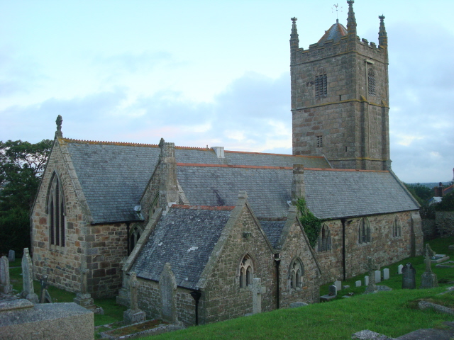
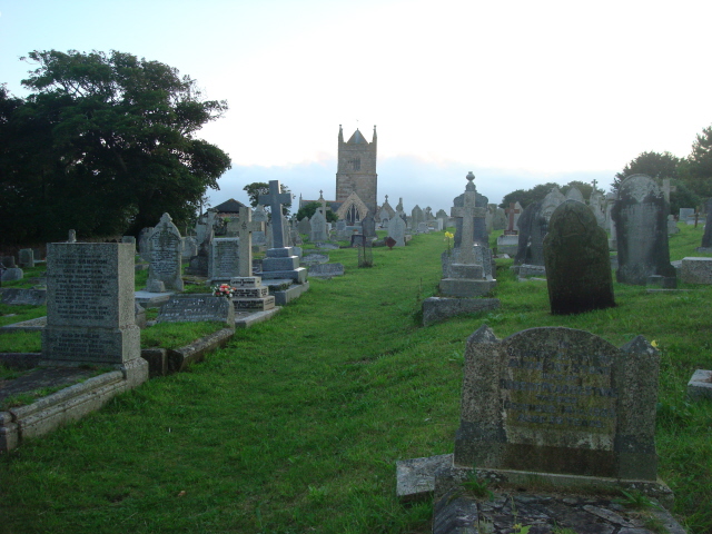
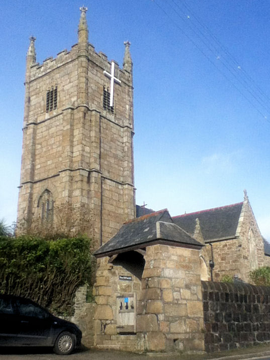
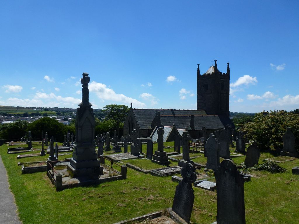
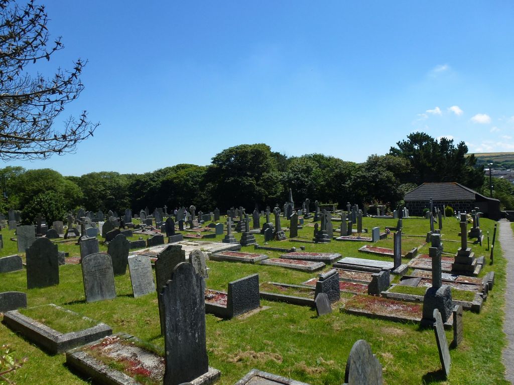
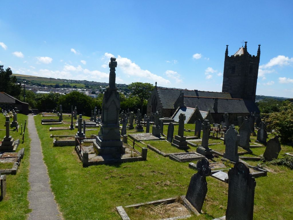
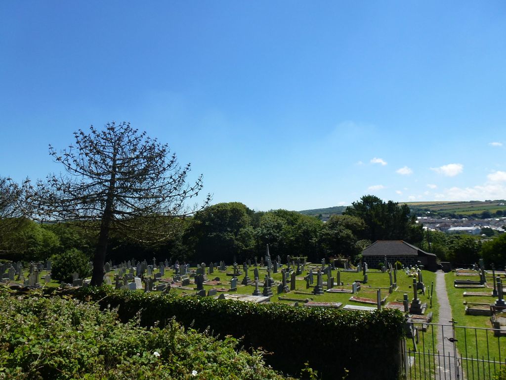
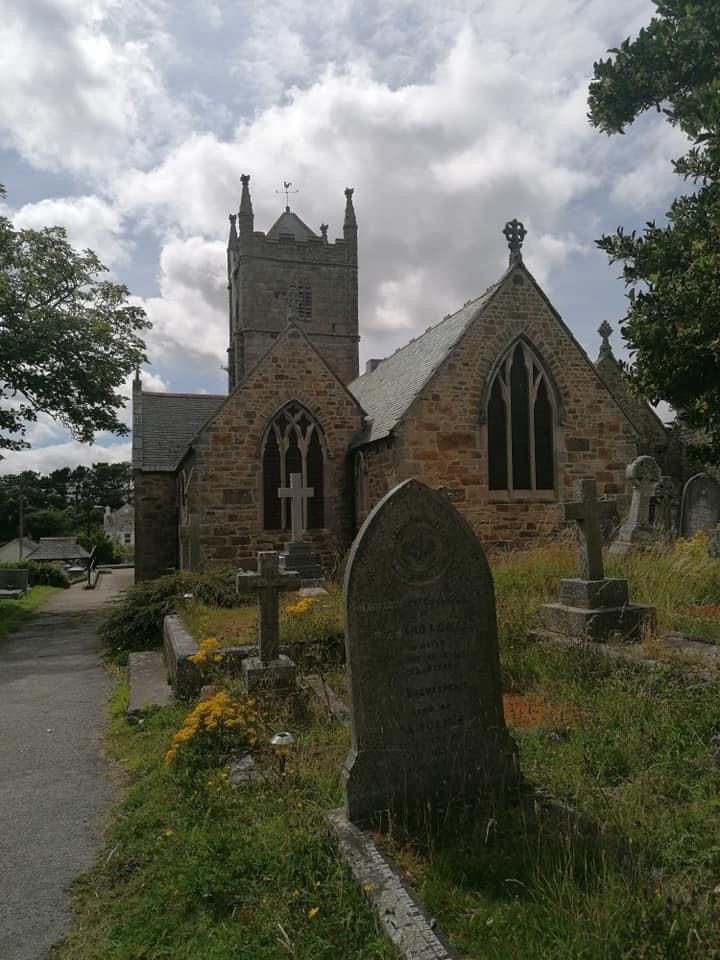
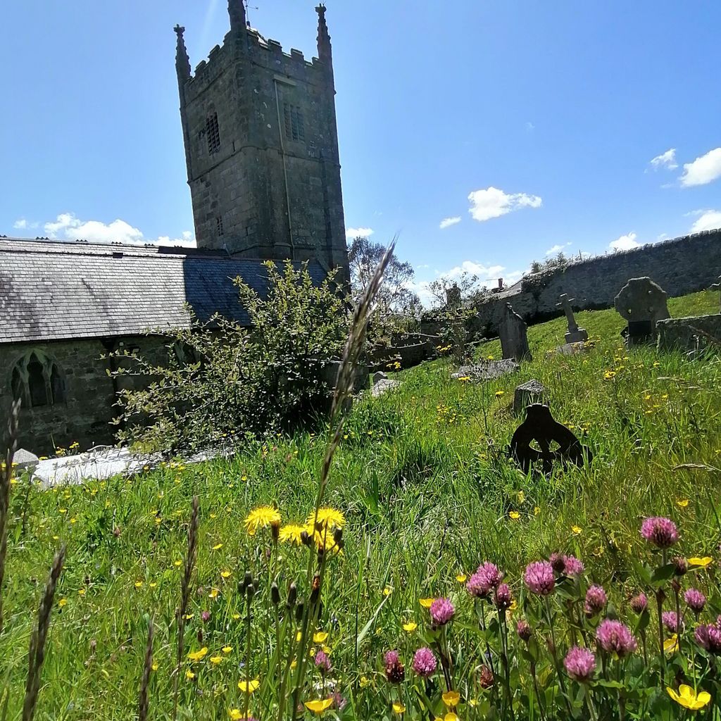
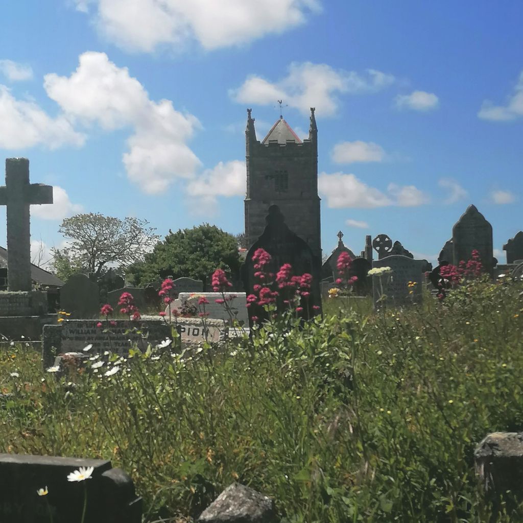
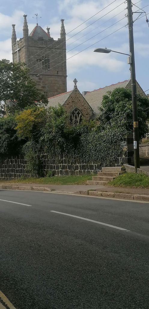
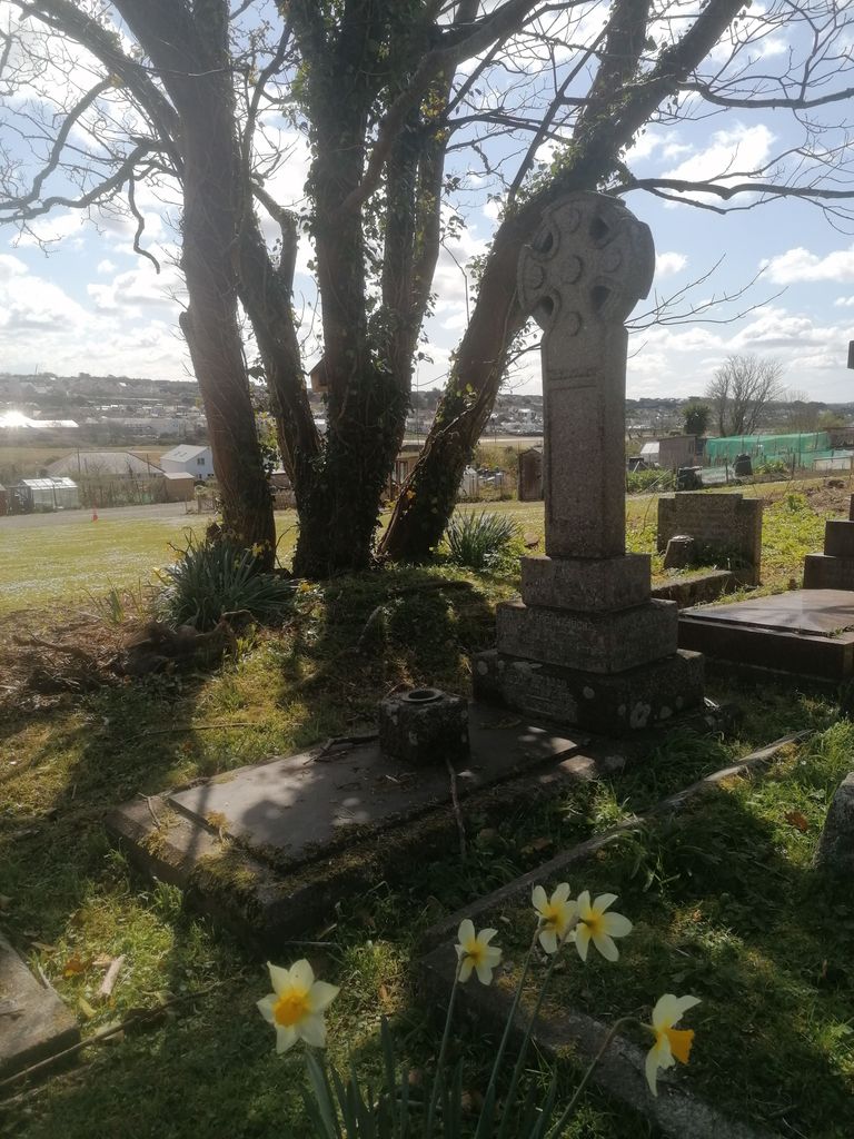
| Description | : | Phillack is a village in west Cornwall, England, United Kingdom. It is about one mile (1.6 km) northeast of Hayle and half-a-mile (0.8 km) inland from St Ives Bay on Cornwall's Atlantic ocean coast. The Anglican church was originally the parish church also of Hayle: it was built in the 15th century and rebuilt in 1856 by William White but the tower is original. Two early stones have been found embedded in the original village church. One bears a 'Constantine' form of a Chi-Rho cross which may date to the 5th century; it was afterwards rebuilt into the... Read More |
frequently asked questions (FAQ):
-
Where is St Felicitas and St Piala Churchyard?
St Felicitas and St Piala Churchyard is located at Phillack Hayle, Cornwall Unitary Authority ,Cornwall , TR27 5ADEngland.
-
St Felicitas and St Piala Churchyard cemetery's updated grave count on graveviews.com?
0 memorials
-
Where are the coordinates of the St Felicitas and St Piala Churchyard?
Latitude: 50.1961600
Longitude: -5.4124860


Nearby Cemetories:
1. Rescorla Monument
Hayle, Cornwall Unitary Authority, England
Coordinate: 50.1857330, -5.4215940
2. St. Uny Churchyard Old
Lelant, Cornwall Unitary Authority, England
Coordinate: 50.1887240, -5.4362110
3. Southern Anglican Cemetery
Lelant, Cornwall Unitary Authority, England
Coordinate: 50.1879380, -5.4361620
4. Eastern Anglican Cemetery
Lelant, Cornwall Unitary Authority, England
Coordinate: 50.1885730, -5.4367950
5. Western Non-Anglican Cemetery
Lelant, Cornwall Unitary Authority, England
Coordinate: 50.1887070, -5.4373470
6. Gwinear Parish Church Cemetery
Gwinear, Cornwall Unitary Authority, England
Coordinate: 50.1879940, -5.3714960
7. St. Gwinear Churchyard
Gwinear, Cornwall Unitary Authority, England
Coordinate: 50.1874090, -5.3706170
8. Longstone Cemetery
Carbis Bay, Cornwall Unitary Authority, England
Coordinate: 50.1918260, -5.4605190
9. St. Gothians Churchyard
Gwithian, Cornwall Unitary Authority, England
Coordinate: 50.2221222, -5.3850918
10. Camborne Cemetery
Camborne, Cornwall Unitary Authority, England
Coordinate: 50.2157510, -5.3098940
11. Killivose Cemetery
Camborne, Cornwall Unitary Authority, England
Coordinate: 50.2027700, -5.3036500
12. St. Martin and St. Meriadoc Churchyard
Camborne, Cornwall Unitary Authority, England
Coordinate: 50.2134190, -5.3020460
13. St Ludgvan and St Paul Churchyard
Ludgvan, Cornwall Unitary Authority, England
Coordinate: 50.1447940, -5.4932190
14. St John the Baptist Churchyard
Godolphin Cross, Cornwall Unitary Authority, England
Coordinate: 50.1333830, -5.3470240
15. St. John the Evangelist Churchyard
Camborne, Cornwall Unitary Authority, England
Coordinate: 50.1935761, -5.2931032
16. Centenary Methodist Chapel & Cemetery
Camborne, Cornwall Unitary Authority, England
Coordinate: 50.2147340, -5.2928470
17. Crowan Anglican Churchyard
Crowan, Cornwall Unitary Authority, England
Coordinate: 50.1637320, -5.2976630
18. Balwest Chapel Cemetery
Germoe, Cornwall Unitary Authority, England
Coordinate: 50.1213610, -5.3644730
19. All Saints Churchyard
Camborne, Cornwall Unitary Authority, England
Coordinate: 50.2201180, -5.2858190
20. Trevenson Churchyard
Camborne, Cornwall Unitary Authority, England
Coordinate: 50.2303130, -5.2734090
21. St. Breaca New Church Cemetery
Breage, Cornwall Unitary Authority, England
Coordinate: 50.1088900, -5.3316800
22. St. Breaca Churchyard
Breage, Cornwall Unitary Authority, England
Coordinate: 50.1083210, -5.3321080
23. Breage War Memorial Cemetery
Breage, Cornwall Unitary Authority, England
Coordinate: 50.1080100, -5.3314400
24. Breage Parish Council Cemetery
Breage, Cornwall Unitary Authority, England
Coordinate: 50.1080600, -5.3306300