
| Memorials | : | 3 |
| Location | : | Camborne, Cornwall Unitary Authority, England |
| Coordinate | : | 50.2134190, -5.3020460 |
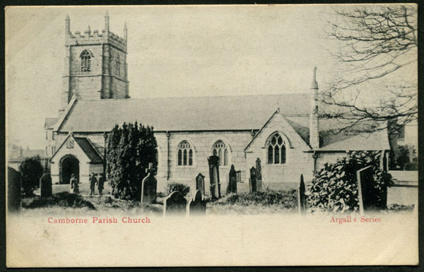
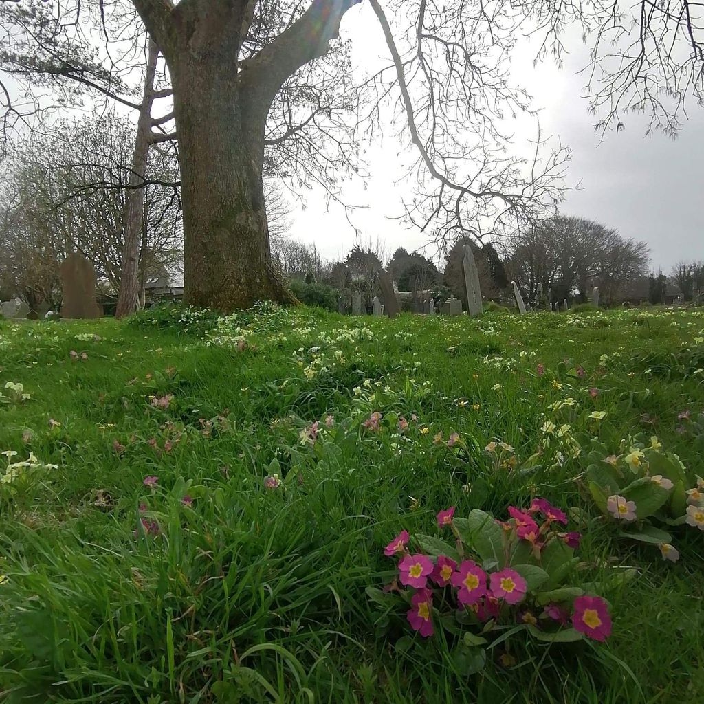
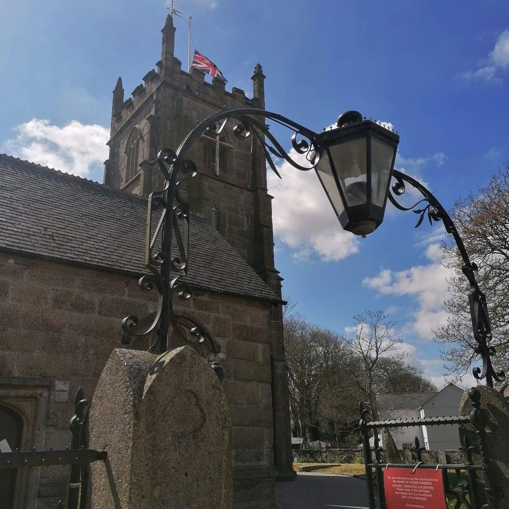
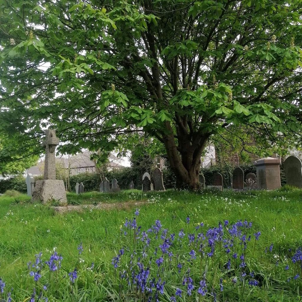
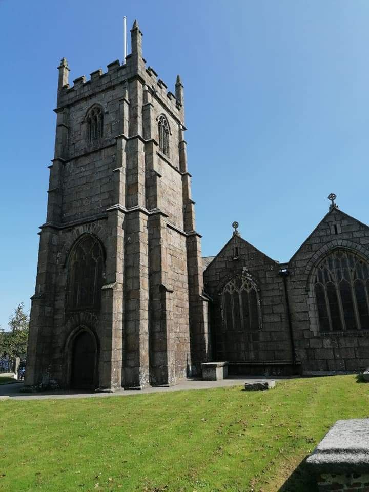
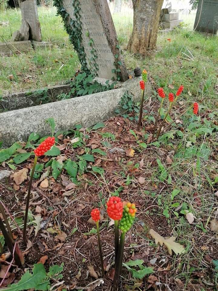
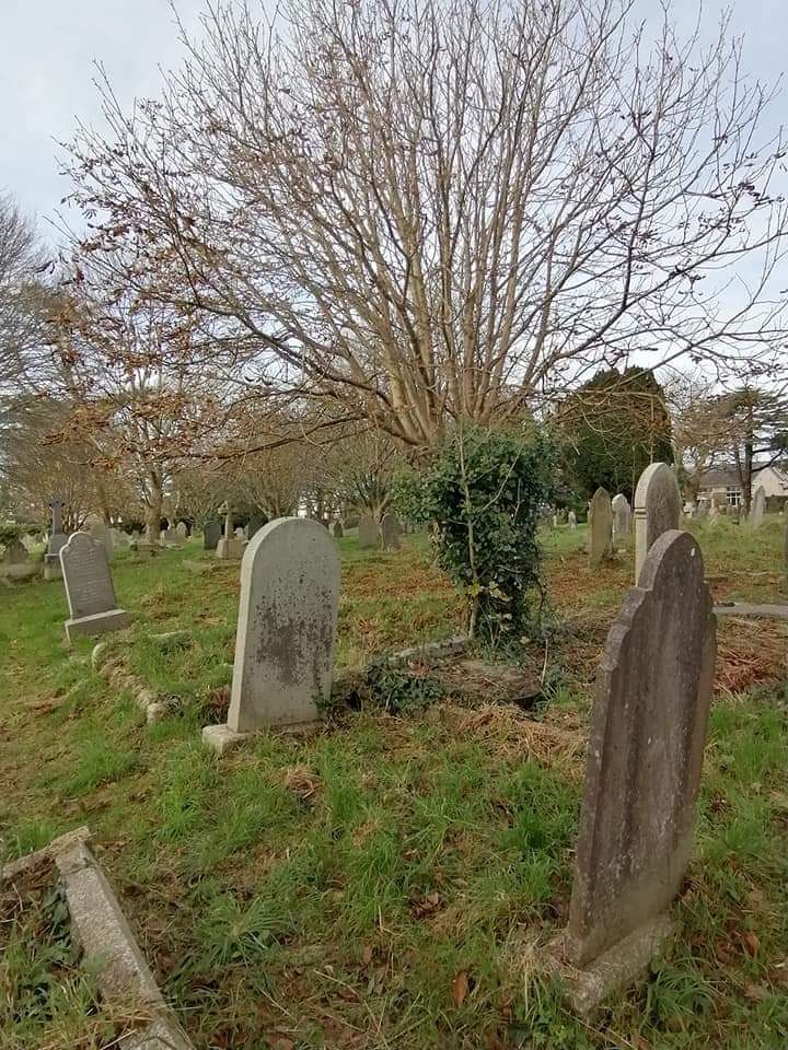
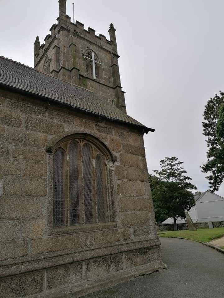
| Description | : | It is uncertain when the parish church was first constructed, but the site could date from the Celtic and pre-Norman period. Much of the ground around the church has been used and re-used for burials since at least the 13th century. The original burial ground only covered the area immediately around the church and under the church hall. As the population grew, the graveyard was extended. The first enlargement took place in 1816, with subsequent additions in 1839, 1875, 1907 and 1955. The older parts of the churchyard were closed by Order in Council in 1874. Today the... Read More |
frequently asked questions (FAQ):
-
Where is St. Martin and St. Meriadoc Churchyard?
St. Martin and St. Meriadoc Churchyard is located at Church Road Camborne, Cornwall Unitary Authority ,Cornwall , TR14 7DFEngland.
-
St. Martin and St. Meriadoc Churchyard cemetery's updated grave count on graveviews.com?
3 memorials
-
Where are the coordinates of the St. Martin and St. Meriadoc Churchyard?
Latitude: 50.2134190
Longitude: -5.3020460


Nearby Cemetories:
1. Camborne Cemetery
Camborne, Cornwall Unitary Authority, England
Coordinate: 50.2157510, -5.3098940
2. Centenary Methodist Chapel & Cemetery
Camborne, Cornwall Unitary Authority, England
Coordinate: 50.2147340, -5.2928470
3. Killivose Cemetery
Camborne, Cornwall Unitary Authority, England
Coordinate: 50.2027700, -5.3036500
4. All Saints Churchyard
Camborne, Cornwall Unitary Authority, England
Coordinate: 50.2201180, -5.2858190
5. St. John the Evangelist Churchyard
Camborne, Cornwall Unitary Authority, England
Coordinate: 50.1935761, -5.2931032
6. Trevenson Churchyard
Camborne, Cornwall Unitary Authority, England
Coordinate: 50.2303130, -5.2734090
7. Illogan Cemetery
Illogan, Cornwall Unitary Authority, England
Coordinate: 50.2483800, -5.2670400
8. St. Illogan Parish Churchyard
Illogan, Cornwall Unitary Authority, England
Coordinate: 50.2496900, -5.2675400
9. Crowan Anglican Churchyard
Crowan, Cornwall Unitary Authority, England
Coordinate: 50.1637320, -5.2976630
10. St. Gwinear Churchyard
Gwinear, Cornwall Unitary Authority, England
Coordinate: 50.1874090, -5.3706170
11. Gwinear Parish Church Cemetery
Gwinear, Cornwall Unitary Authority, England
Coordinate: 50.1879940, -5.3714960
12. St. Gothians Churchyard
Gwithian, Cornwall Unitary Authority, England
Coordinate: 50.2221222, -5.3850918
13. Lanner Christchurch
Lanner, Cornwall Unitary Authority, England
Coordinate: 50.2141000, -5.2047500
14. St Felicitas and St Piala Churchyard
Hayle, Cornwall Unitary Authority, England
Coordinate: 50.1961600, -5.4124860
15. Rescorla Monument
Hayle, Cornwall Unitary Authority, England
Coordinate: 50.1857330, -5.4215940
16. St. Wenappa Churchyard
Gwennap, Cornwall Unitary Authority, England
Coordinate: 50.2176600, -5.1709770
17. St John the Baptist Churchyard
Godolphin Cross, Cornwall Unitary Authority, England
Coordinate: 50.1333830, -5.3470240
18. St. Uny Churchyard Old
Lelant, Cornwall Unitary Authority, England
Coordinate: 50.1887240, -5.4362110
19. Southern Anglican Cemetery
Lelant, Cornwall Unitary Authority, England
Coordinate: 50.1879380, -5.4361620
20. Eastern Anglican Cemetery
Lelant, Cornwall Unitary Authority, England
Coordinate: 50.1885730, -5.4367950
21. Western Non-Anglican Cemetery
Lelant, Cornwall Unitary Authority, England
Coordinate: 50.1887070, -5.4373470
22. Balwest Chapel Cemetery
Germoe, Cornwall Unitary Authority, England
Coordinate: 50.1213610, -5.3644730
23. Longstone Cemetery
Carbis Bay, Cornwall Unitary Authority, England
Coordinate: 50.1918260, -5.4605190
24. St. Breaca New Church Cemetery
Breage, Cornwall Unitary Authority, England
Coordinate: 50.1088900, -5.3316800