
| Memorials | : | 13 |
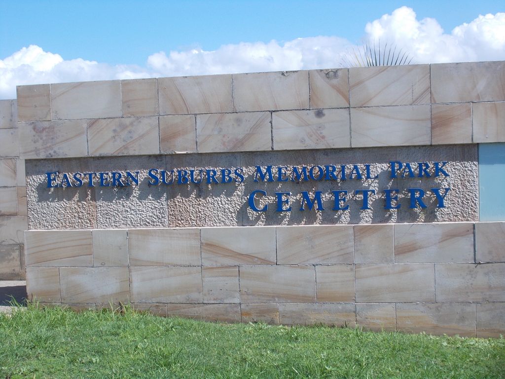
| Location | : | Matraville, Randwick City, Australia |
| Website | : | www.smcnsw.org.au/eastern/home |
| Coordinate | : | -33.9732410, 151.2297940 |
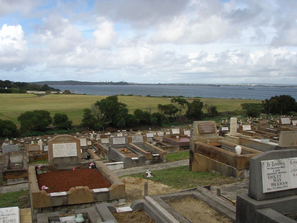
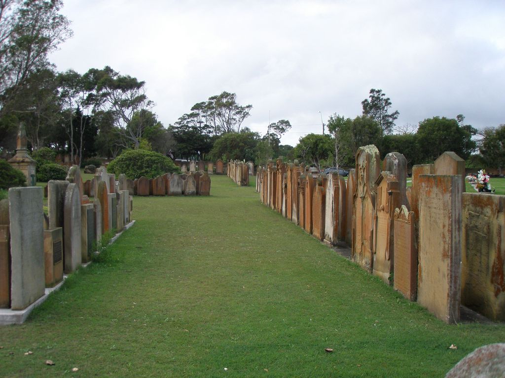
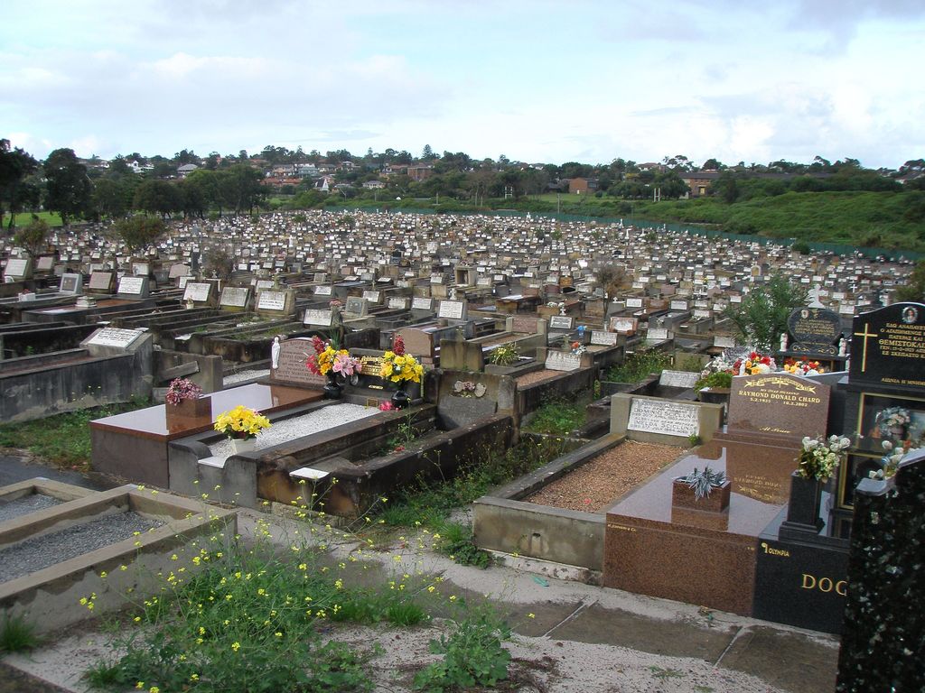
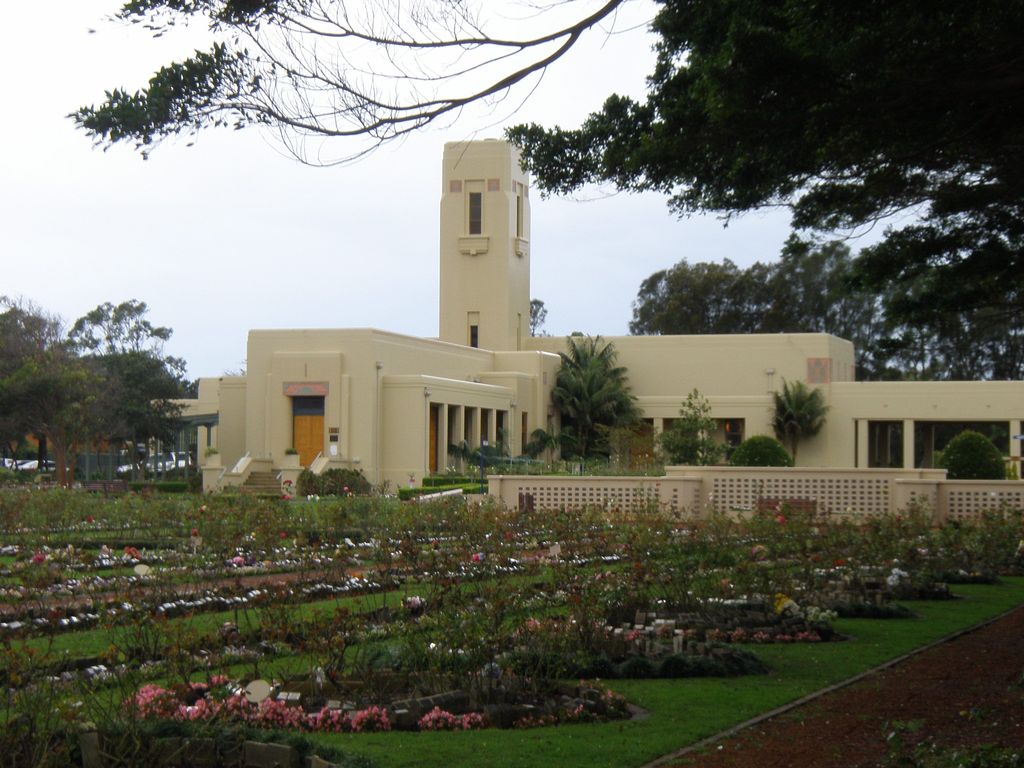
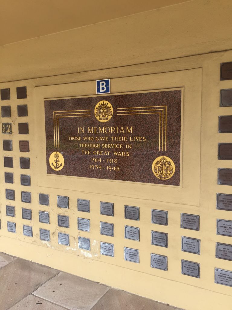
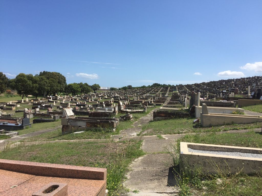
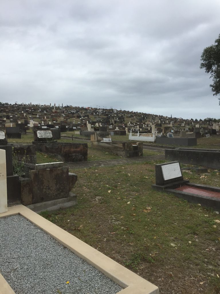
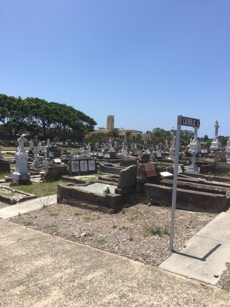
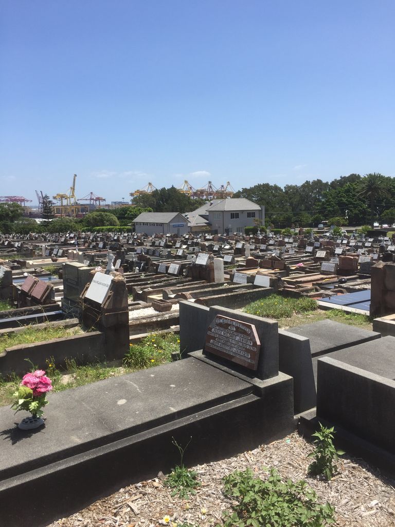
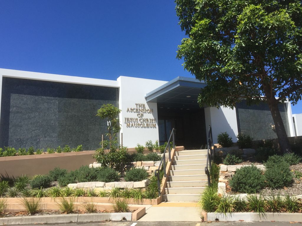
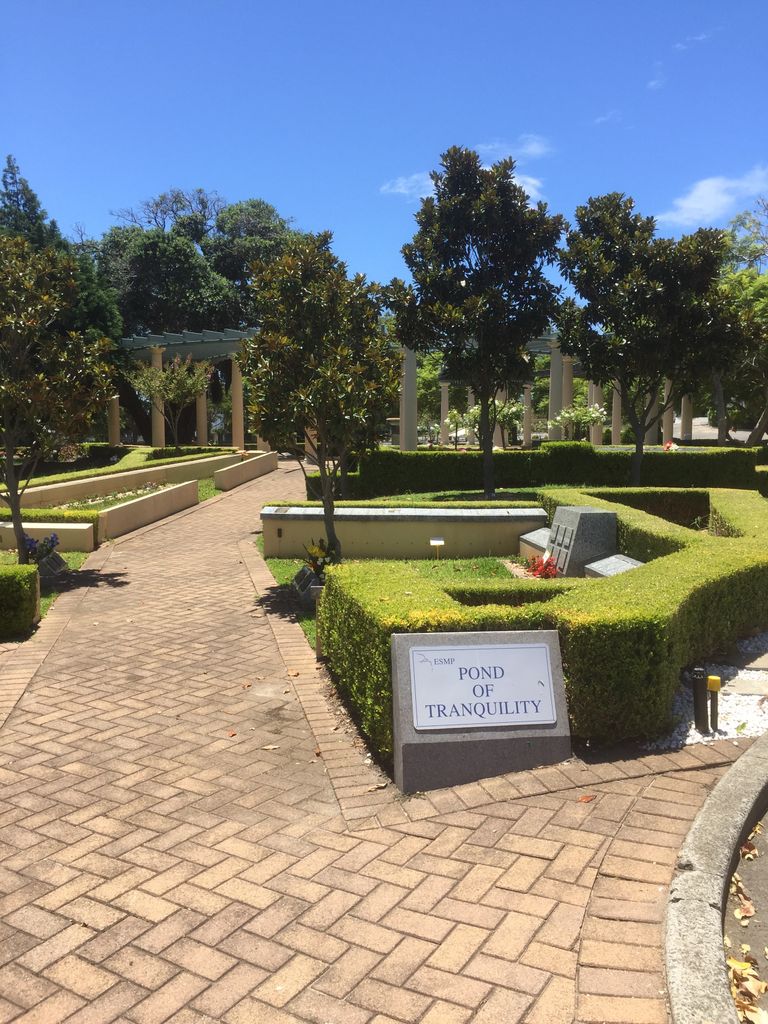
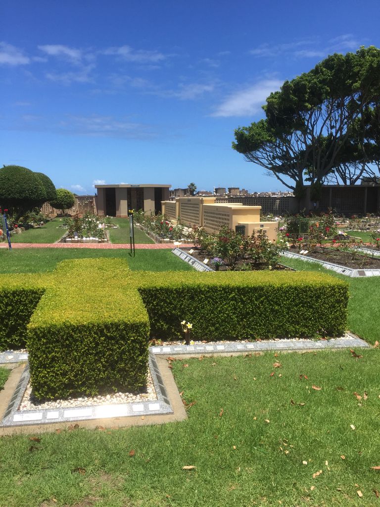
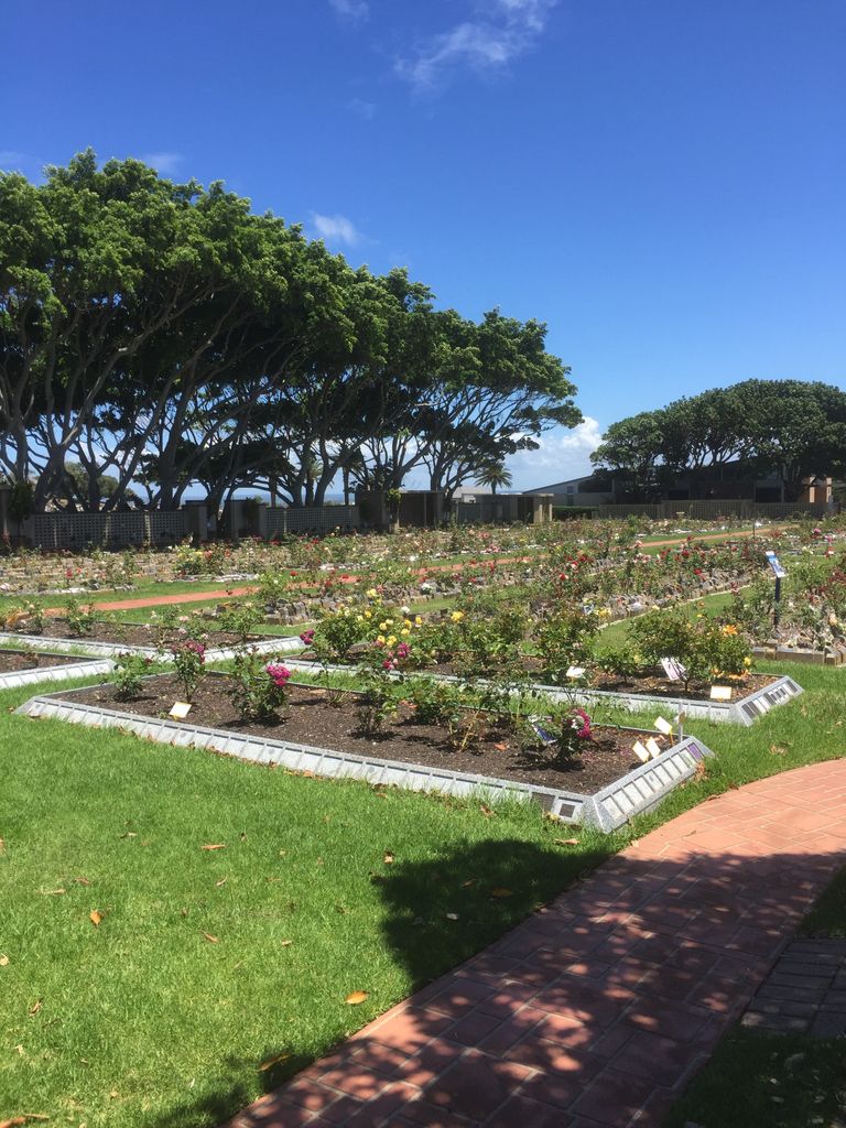
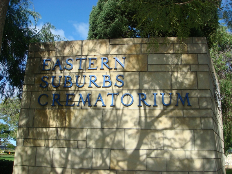
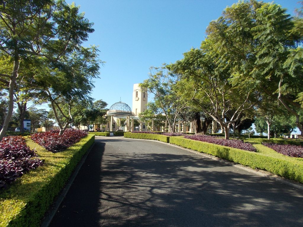
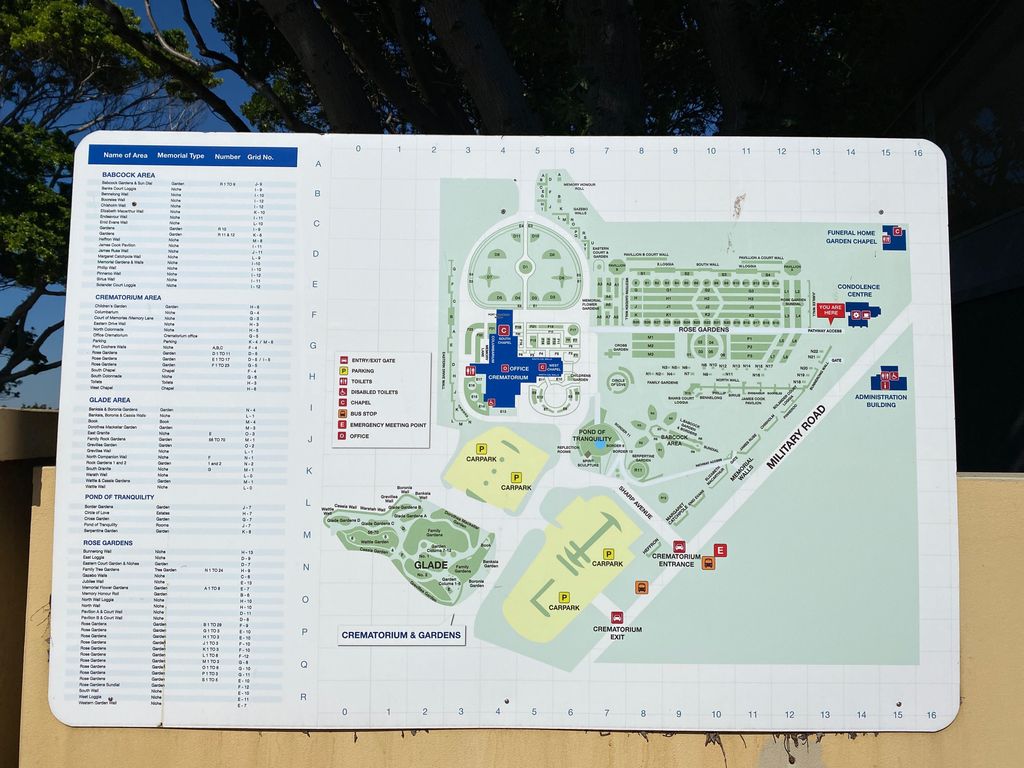
| Description | : | This area was dedicated as a cemetery site in 1888, with the first interment recorded on 21 August 1893. The crematorium was opened in 1938. Today it is "Crown Land" with a Board of Trustees appointed by a Minister of the New South Wales State Government. In 2016, on the same date on which the First Fleet sailed from Portsmouth, England a new section of the Memorial Park was opened - the First Fleeters Memorial. One aim of this Memorial is to provide a space to preserve several hundred grave stones that date back to Sydney's first burial grounds. |
frequently asked questions (FAQ):
-
Where is Eastern Suburbs Memorial Park?
Eastern Suburbs Memorial Park is located at 12 Military Road Matraville, Randwick City ,New South Wales , 2036Australia.
-
Eastern Suburbs Memorial Park cemetery's updated grave count on graveviews.com?
13 memorials
-
Where are the coordinates of the Eastern Suburbs Memorial Park?
Latitude: -33.9732410
Longitude: 151.2297940
Nearby Cemetories:
1. Botany Bay National Park
Sydney, City of Sydney, Australia
Coordinate: -33.9881750, 151.2321090
2. Coast Hospital Cemetery
La Perouse, Randwick City, Australia
Coordinate: -33.9906780, 151.2503300
3. Botany Wesleyan Cemetery (Defunct)
Botany Bay, Bayside Council, Australia
Coordinate: -33.9421070, 151.1961480
4. Holy Trinity Church
Kingsford, Randwick City, Australia
Coordinate: -33.9267060, 151.2321180
5. Randwick General Cemetery
South Coogee, Randwick City, Australia
Coordinate: -33.9295780, 151.2549810
6. Saint Jude's Cemetery
Randwick, Randwick City, Australia
Coordinate: -33.9115460, 151.2417130
7. St. Peters Cooks River Cemetery
Saint Peters, Inner West Council, Australia
Coordinate: -33.9139390, 151.1775670
8. Rockdale Uniting Church Cemetery
Rockdale, Bayside Council, Australia
Coordinate: -33.9533350, 151.1381840
9. Camperdown Cemetery
Newtown, City of Sydney, Australia
Coordinate: -33.8942220, 151.1804900
10. St Luke's Anglican Church
Enmore, Inner West Council, Australia
Coordinate: -33.8989218, 151.1700724
11. Devonshire Street Cemetery (Defunct)
Sydney, City of Sydney, Australia
Coordinate: -33.8828080, 151.2066180
12. St George’s Anglican Church Cemetery (Defunct)
Hurstville, Georges River Council, Australia
Coordinate: -33.9668590, 151.1079150
13. Old Sydney Burial Ground
Sydney, City of Sydney, Australia
Coordinate: -33.8731750, 151.2063850
14. Saint Mary's Cathedral
Sydney, City of Sydney, Australia
Coordinate: -33.8708540, 151.2135820
15. Parish Church of Saint James
Sydney, City of Sydney, Australia
Coordinate: -33.8693760, 151.2111540
16. St Thomas Becket Churchyard
Lewisham, Inner West Council, Australia
Coordinate: -33.8928760, 151.1480490
17. Royal Botanic Gardens
Sydney, City of Sydney, Australia
Coordinate: -33.8647440, 151.2170610
18. St. Paul's Anglican Church Cemetery
Canterbury, Canterbury-Bankstown Council, Australia
Coordinate: -33.9081600, 151.1236000
19. Garden Island
Potts Point, City of Sydney, Australia
Coordinate: -33.8613635, 151.2280308
20. Pioneers Memorial Park
Leichhardt, Inner West Council, Australia
Coordinate: -33.8780800, 151.1575000
21. Balmain Catholic Cemetery (Defunct)
Leichhardt, Inner West Council, Australia
Coordinate: -33.8797270, 151.1523730
22. St David’s Presbyterian Cemetery
Haberfield, Inner West Council, Australia
Coordinate: -33.8823220, 151.1378500
23. Moorefields Methodist Cemetery
Kingsgrove, Canterbury-Bankstown Council, Australia
Coordinate: -33.9343560, 151.0904450
24. St. John's Anglican Church Cemetery
Ashfield, Inner West Council, Australia
Coordinate: -33.8817160, 151.1278730