
| Memorials | : | 0 |
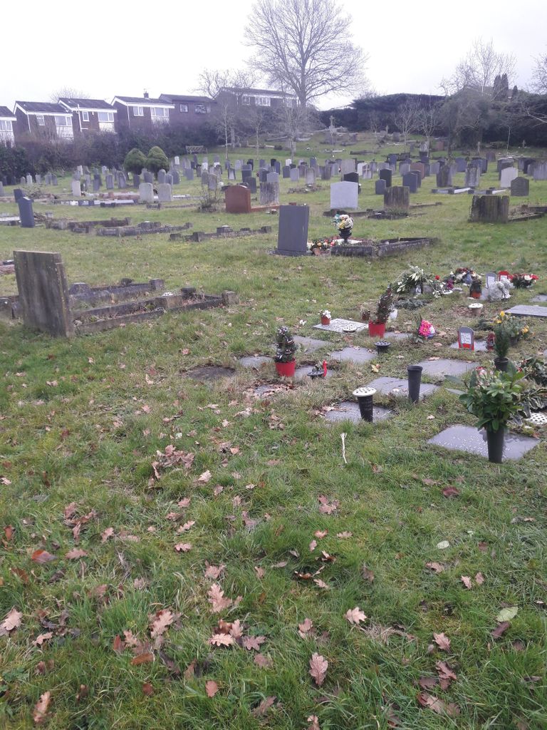
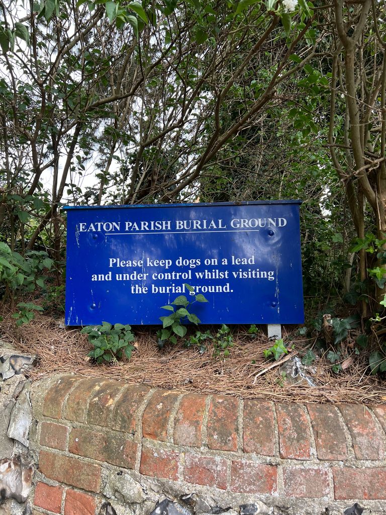
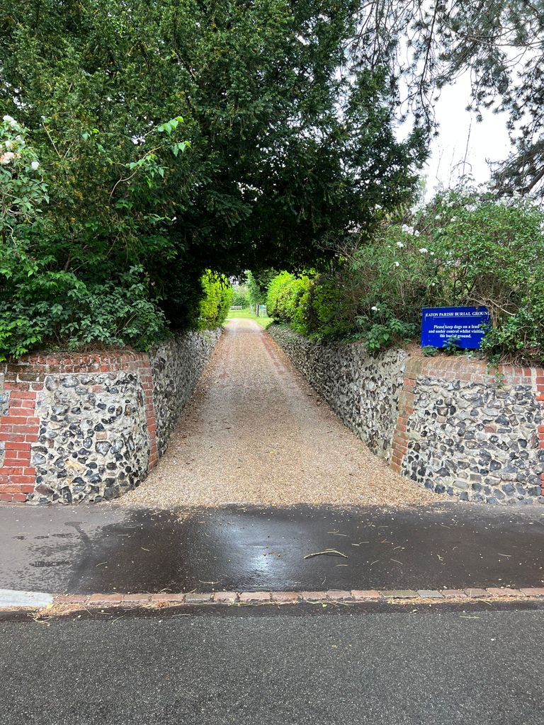
| Location | : | Eaton, City of Norwich, England |
| Coordinate | : | 52.6053900, 1.2556800 |
| Description | : | Eaton is a village and a suburb of the city of Norwich, the county town of Norfolk in the East of England. It lies to the southwest of the city centre on the A11 road, the main route to London/Cambridge. Eaton Parish Burial Ground is sometimes known as St Andrew New Churchyard. |
frequently asked questions (FAQ):
-
Where is Eaton Parish Burial Ground?
Eaton Parish Burial Ground is located at Church Lane Eaton, City of Norwich ,Norfolk ,England.
-
Eaton Parish Burial Ground cemetery's updated grave count on graveviews.com?
0 memorials
-
Where are the coordinates of the Eaton Parish Burial Ground?
Latitude: 52.6053900
Longitude: 1.2556800
Nearby Cemetories:
1. St. Andrew's Old Churchyard
Eaton, City of Norwich, England
Coordinate: 52.6068200, 1.2514300
2. St. Peter's Churchyard
Cringleford, South Norfolk District, England
Coordinate: 52.6057990, 1.2453370
3. All Saints Churchyard
Keswick, South Norfolk District, England
Coordinate: 52.5951470, 1.2675790
4. All Saints Church, Intwood
Cringleford, South Norfolk District, England
Coordinate: 52.5910430, 1.2419930
5. Keswick Churchyard
Keswick, South Norfolk District, England
Coordinate: 52.5909460, 1.2419310
6. St. John the Baptist Churchyard
Lakenham, City of Norwich, England
Coordinate: 52.6068660, 1.2971750
7. St. Mary's Churchyard
Earlham, City of Norwich, England
Coordinate: 52.6280416, 1.2353034
8. Earlham Road Cemetery
Norwich, City of Norwich, England
Coordinate: 52.6305900, 1.2677400
9. St. Andrew Churchyard
Colney, South Norfolk District, England
Coordinate: 52.6253800, 1.2206100
10. Cathedral of Saint John the Baptist
Norwich, City of Norwich, England
Coordinate: 52.6292000, 1.2840000
11. Saint Mark's Churchyard
Lakenham, City of Norwich, England
Coordinate: 52.6189230, 1.2986720
12. Saint Stephens Churchyard
Norwich, City of Norwich, England
Coordinate: 52.6266260, 1.2921140
13. St Giles Churchyard
Norwich, City of Norwich, England
Coordinate: 52.6294900, 1.2871500
14. St. John Sepulchre Churchyard
Norwich, City of Norwich, England
Coordinate: 52.6215710, 1.2999370
15. All Saints Churchyard
Norwich, City of Norwich, England
Coordinate: 52.6257450, 1.2952710
16. St. Peter Mancroft Churchyard
Norwich, City of Norwich, England
Coordinate: 52.6277780, 1.2925000
17. St. Benedict's Churchyard
Norwich, City of Norwich, England
Coordinate: 52.6311700, 1.2860580
18. St. Michael at Thorn Churchyard
Norwich, City of Norwich, England
Coordinate: 52.6250310, 1.2972730
19. Saint John Timberhill Churchyard
Norwich, City of Norwich, England
Coordinate: 52.6261280, 1.2961320
20. Saint Edmund Churchyard
Caistor St Edmund, South Norfolk District, England
Coordinate: 52.5826350, 1.2936850
21. St. Swithin Churchyard
Norwich, City of Norwich, England
Coordinate: 52.6316140, 1.2877760
22. St. Margaret's Churchyard
Norwich, City of Norwich, England
Coordinate: 52.6312260, 1.2886730
23. Saint Margaret's Churchyard
Norwich, City of Norwich, England
Coordinate: 52.6313370, 1.2886400
24. St Margaret de Westwick Parish Church
Norwich, City of Norwich, England
Coordinate: 52.6313610, 1.2887497