| Memorials | : | 57 |
| Location | : | Cringleford, South Norfolk District, England |
| Website | : | cringlefordchurch.co.uk/church/index.php |
| Coordinate | : | 52.6057990, 1.2453370 |
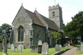
| Description | : | This lovely little Norfolk church was established c950 and still retains three round headed windows from the Saxon period. Of particular interest is the window in the north chancel wall which is in a very low position leading to speculation that it is a leper’s window through which those afflicted could watch the service without entering the building itself. Other interesting features include the 14th century tower and the 15th century Perpendicular font. The church also has a fine collection of stained glass which includes panels dating from the 15th century. Forfull details see : “The History of St... Read More |
frequently asked questions (FAQ):
-
Where is St. Peter's Churchyard?
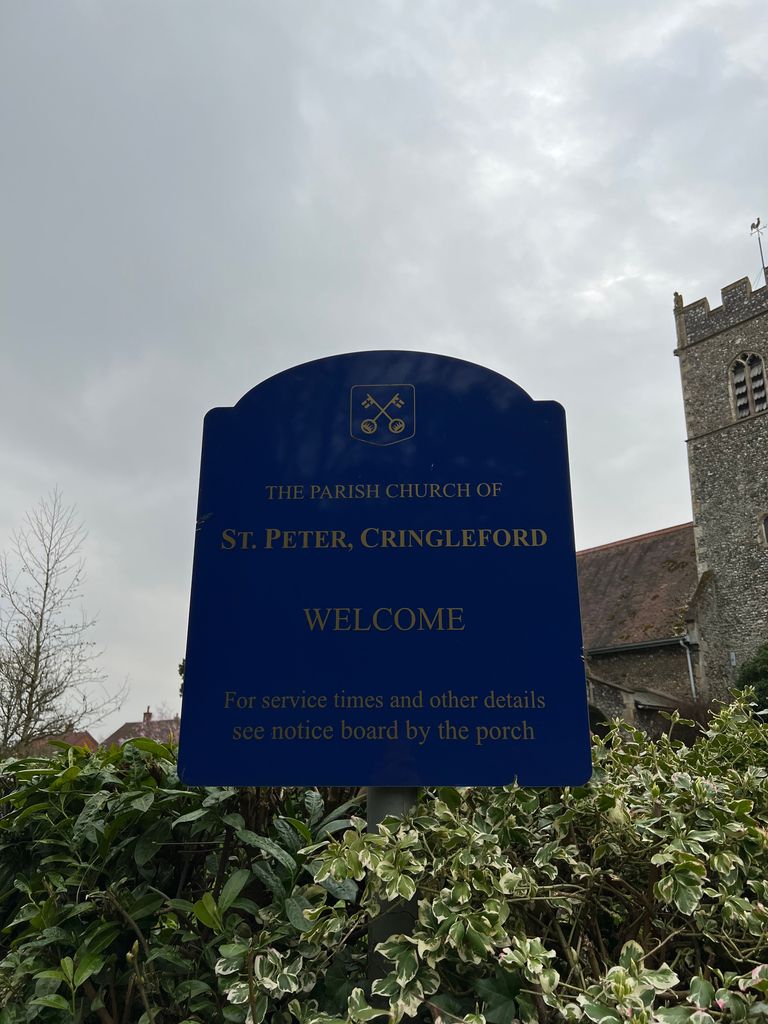
St. Peter's Churchyard is located at 1 New Market Road Cringleford, South Norfolk District ,Norfolk , NR4 6XLEngland.
-
St. Peter's Churchyard cemetery's updated grave count on graveviews.com?
57 memorials
-
Where are the coordinates of the St. Peter's Churchyard?
Latitude: 52.6057990
Longitude: 1.2453370
Nearby Cemetories:
1. St. Andrew's Old Churchyard
Eaton, City of Norwich, England
Coordinate: 52.6068200, 1.2514300
2. Eaton Parish Burial Ground
Eaton, City of Norwich, England
Coordinate: 52.6053900, 1.2556800
3. All Saints Church, Intwood
Cringleford, South Norfolk District, England
Coordinate: 52.5910430, 1.2419930
4. Keswick Churchyard
Keswick, South Norfolk District, England
Coordinate: 52.5909460, 1.2419310
5. All Saints Churchyard
Keswick, South Norfolk District, England
Coordinate: 52.5951470, 1.2675790
6. St. Mary's Churchyard
Earlham, City of Norwich, England
Coordinate: 52.6280416, 1.2353034
7. St. Andrew Churchyard
Colney, South Norfolk District, England
Coordinate: 52.6253800, 1.2206100
8. Earlham Road Cemetery
Norwich, City of Norwich, England
Coordinate: 52.6305900, 1.2677400
9. St. John the Baptist Churchyard
Lakenham, City of Norwich, England
Coordinate: 52.6068660, 1.2971750
10. Cathedral of Saint John the Baptist
Norwich, City of Norwich, England
Coordinate: 52.6292000, 1.2840000
11. Colney Woodland Burial Park
Colney, South Norfolk District, England
Coordinate: 52.6254580, 1.1991560
12. St Giles Churchyard
Norwich, City of Norwich, England
Coordinate: 52.6294900, 1.2871500
13. Saint Remigius Churchyard
Hethersett, South Norfolk District, England
Coordinate: 52.5992830, 1.1889340
14. St Michael's Church
Bowthorpe, City of Norwich, England
Coordinate: 52.6359300, 1.2163600
15. Saint Mark's Churchyard
Lakenham, City of Norwich, England
Coordinate: 52.6189230, 1.2986720
16. Saint Stephens Churchyard
Norwich, City of Norwich, England
Coordinate: 52.6266260, 1.2921140
17. St. Benedict's Churchyard
Norwich, City of Norwich, England
Coordinate: 52.6311700, 1.2860580
18. St. Peter Mancroft Churchyard
Norwich, City of Norwich, England
Coordinate: 52.6277780, 1.2925000
19. All Saints Churchyard
Norwich, City of Norwich, England
Coordinate: 52.6257450, 1.2952710
20. St. Swithin Churchyard
Norwich, City of Norwich, England
Coordinate: 52.6316140, 1.2877760
21. St. Margaret's Churchyard
Norwich, City of Norwich, England
Coordinate: 52.6312260, 1.2886730
22. Saint Margaret's Churchyard
Norwich, City of Norwich, England
Coordinate: 52.6313370, 1.2886400
23. St. John Sepulchre Churchyard
Norwich, City of Norwich, England
Coordinate: 52.6215710, 1.2999370
24. St Margaret de Westwick Parish Church
Norwich, City of Norwich, England
Coordinate: 52.6313610, 1.2887497


