
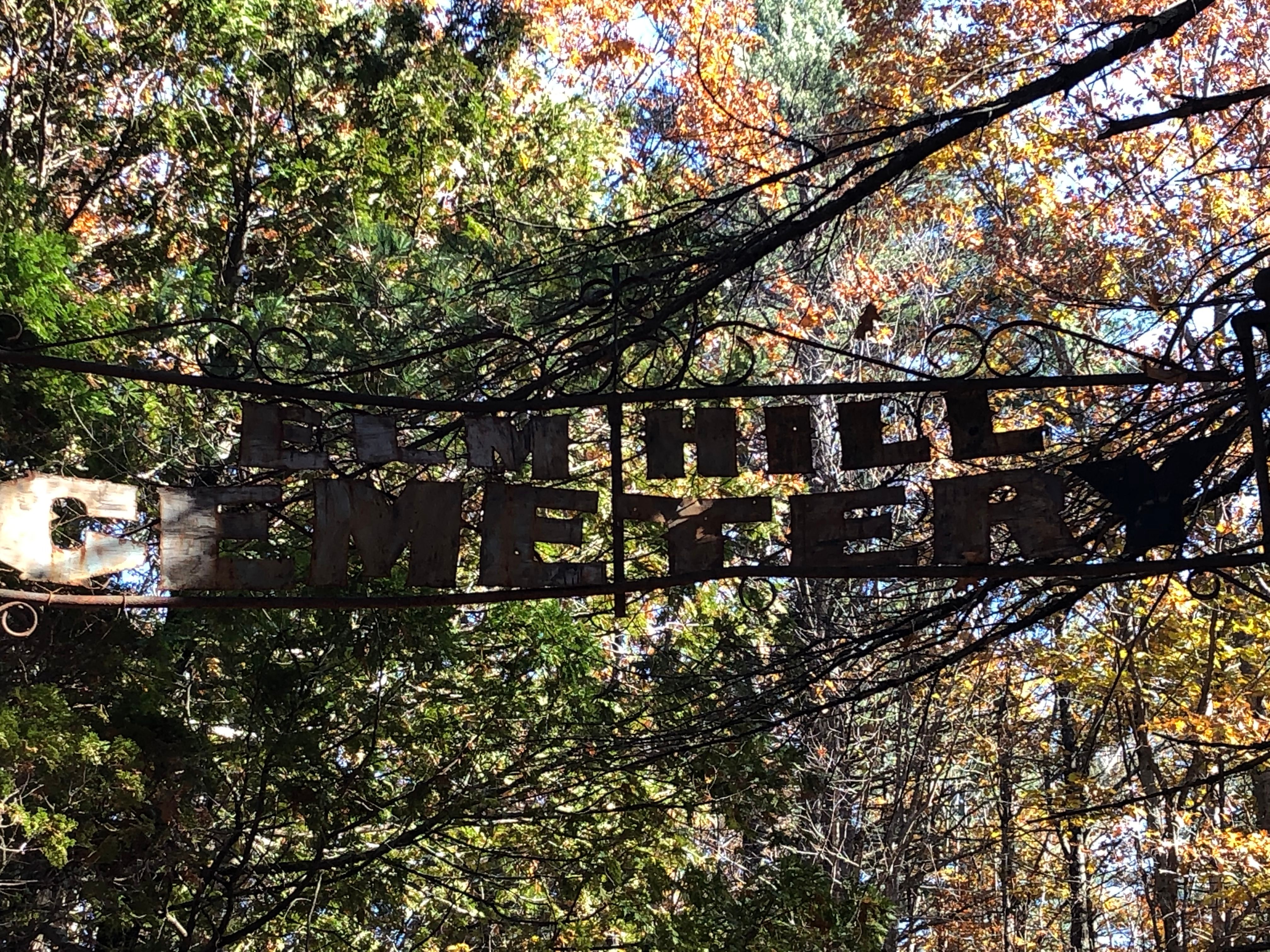
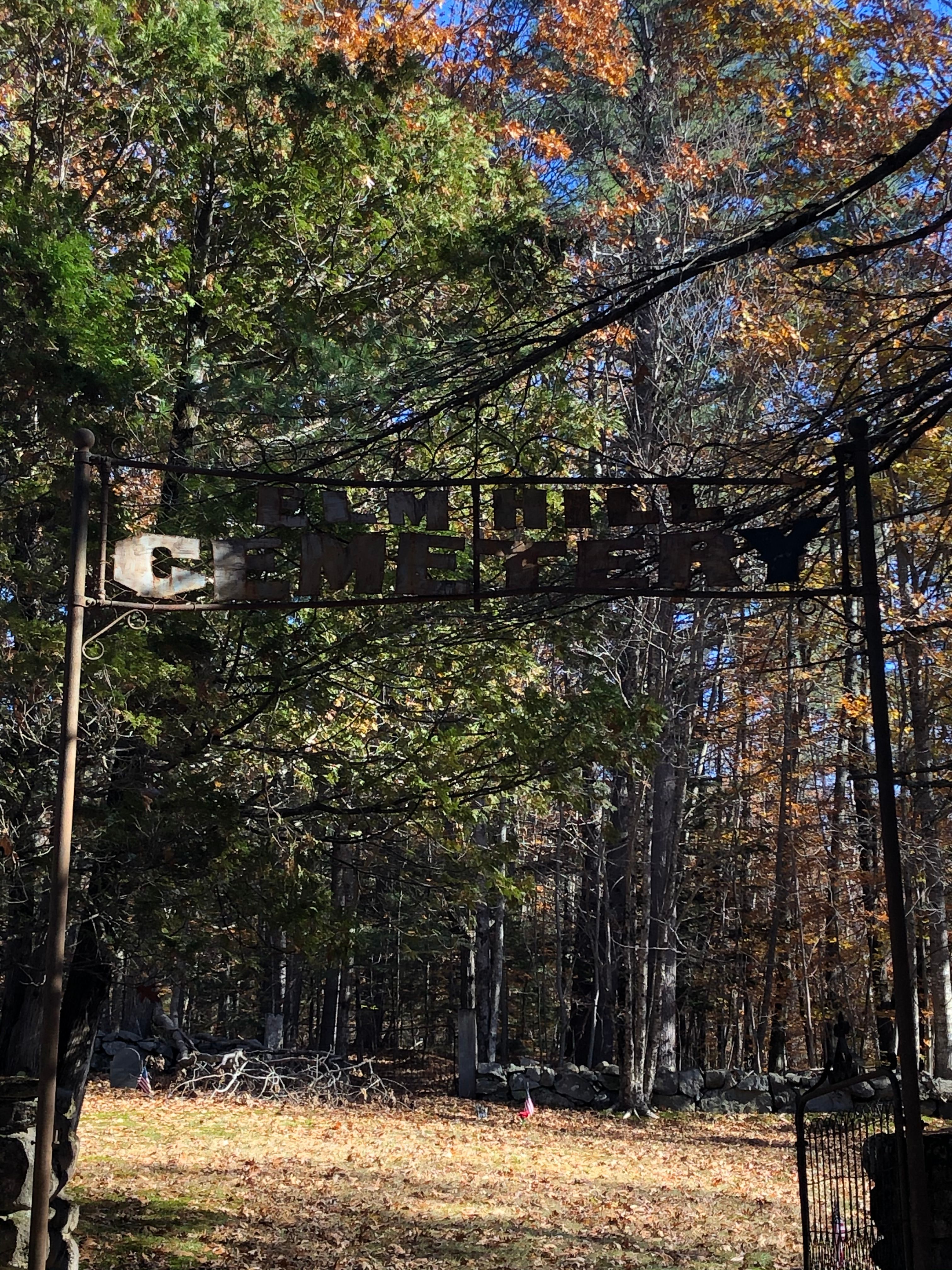
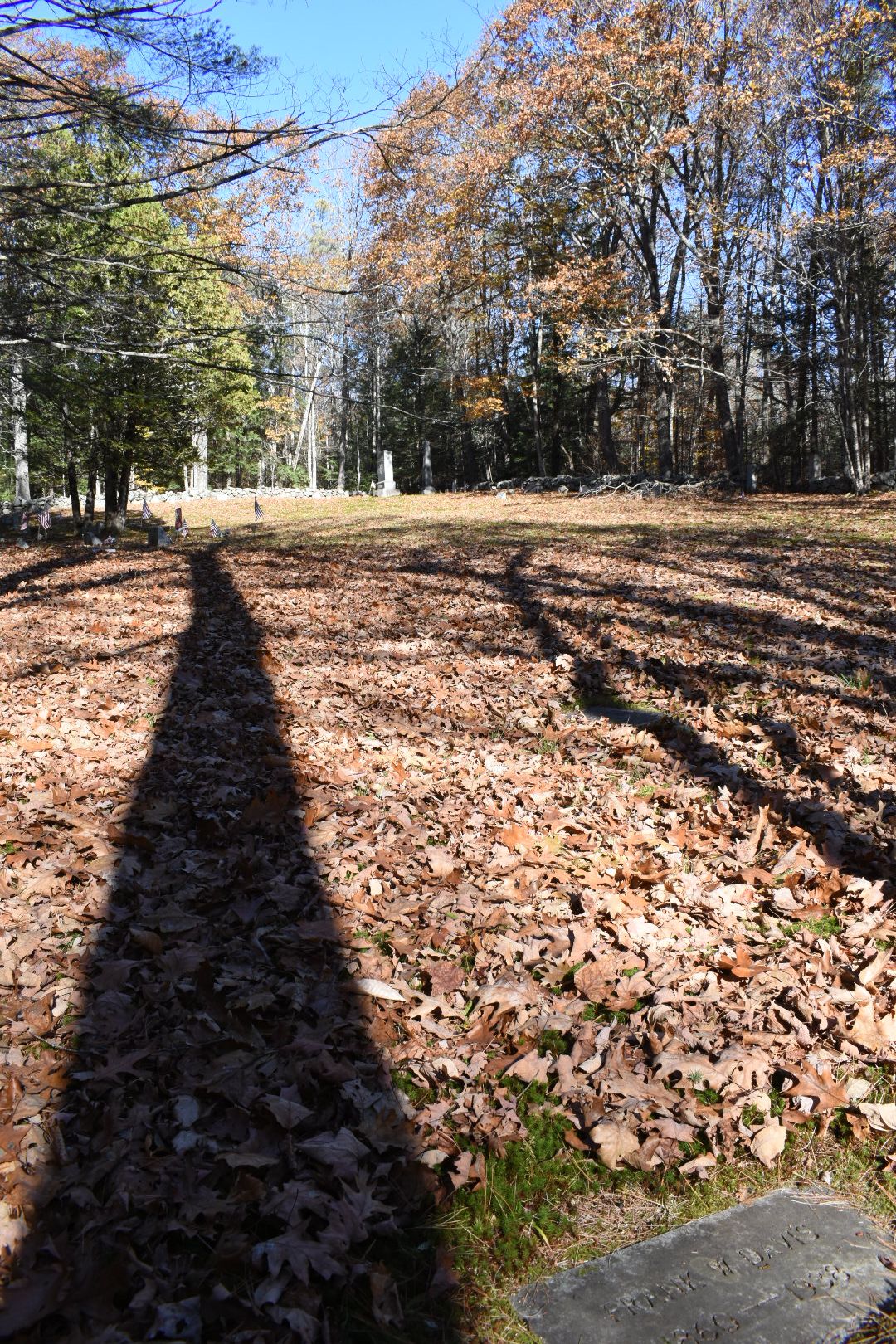
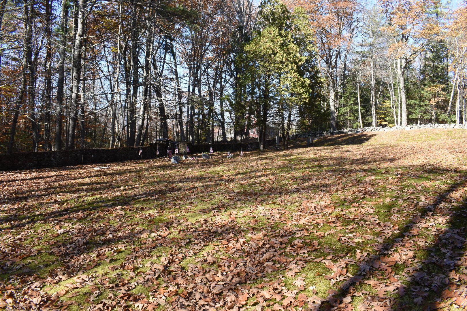
| Memorials | : | 65 |
| Location | : | Sandwich, Carroll County, USA |
| Phone | : | 6032847701 |
| Coordinate | : | 43.8158330, -71.4338890 |
| Description | : | New Hampshire Old Graveyard Association database cemetery code S05-008 |
frequently asked questions (FAQ):
-
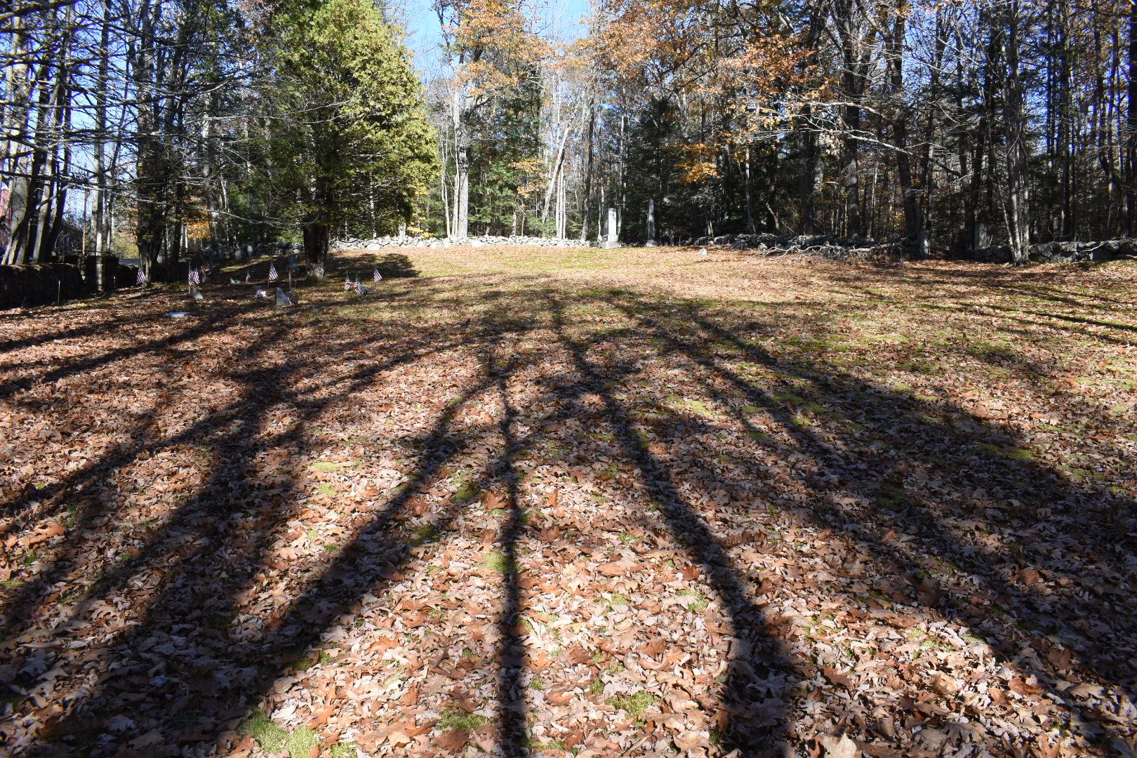
Where is Elm Hill Cemetery?
Elm Hill Cemetery is located at Martin Road Sandwich, Carroll County ,New Hampshire , 03227USA.
-
Elm Hill Cemetery cemetery's updated grave count on graveviews.com?
65 memorials
-
Where are the coordinates of the Elm Hill Cemetery?
Latitude: 43.8158330
Longitude: -71.4338890
Nearby Cemetories:
1. Elm Hill Cemetery
Center Sandwich, Carroll County, USA
Coordinate: 43.8158000, -71.4336000
2. Baptist Burial Ground
Center Sandwich, Carroll County, USA
Coordinate: 43.8079900, -71.4392600
3. Grove Cemetery
Sandwich, Carroll County, USA
Coordinate: 43.8101100, -71.4445200
4. Cemetery of the Religious Society of Friends
Sandwich, Carroll County, USA
Coordinate: 43.7994400, -71.4266700
5. Beede Cemetery
Sandwich, Carroll County, USA
Coordinate: 43.8013890, -71.4166670
6. Chicks Corner Cemetery
Sandwich, Carroll County, USA
Coordinate: 43.8041000, -71.4728900
7. Mason Cemetery
Center Sandwich, Carroll County, USA
Coordinate: 43.7858000, -71.4258000
8. Quinby Cemetery
North Sandwich, Carroll County, USA
Coordinate: 43.8433000, -71.4148000
9. Israel Gilman Cemetery
Sandwich Landing, Carroll County, USA
Coordinate: 43.8268727, -71.4757671
10. Littles Pond Cemetery
Sandwich, Carroll County, USA
Coordinate: 43.7915600, -71.4034200
11. North Sandwich Cemetery
North Sandwich, Carroll County, USA
Coordinate: 43.8410750, -71.3953610
12. Morse Cemetery
Center Sandwich, Carroll County, USA
Coordinate: 43.8534300, -71.4241600
13. Moulton-Beede Cemetery
Sandwich, Carroll County, USA
Coordinate: 43.7774000, -71.4276000
14. Mason Cemetery
North Sandwich, Carroll County, USA
Coordinate: 43.8542000, -71.4426000
15. Smith-Morse Cemetery
Sandwich, Carroll County, USA
Coordinate: 43.7768000, -71.4301000
16. Haines Cemetery
Union, Carroll County, USA
Coordinate: 43.7734000, -71.4331000
17. Mears-Nelson Cemetery
Sandwich, Carroll County, USA
Coordinate: 43.7932790, -71.3820560
18. Nathanial Fry Family Plot
Sandwich, Carroll County, USA
Coordinate: 43.7875872, -71.3844592
19. Richard Fry Cemetery
Sandwich, Carroll County, USA
Coordinate: 43.7822817, -71.3830099
20. Weed Cemetery
North Sandwich, Carroll County, USA
Coordinate: 43.8567140, -71.3907470
21. Thompson Cemetery
Sandwich, Carroll County, USA
Coordinate: 43.8014000, -71.5025000
22. Cram-Webster Cemetery
Sandwich, Carroll County, USA
Coordinate: 43.7972220, -71.3641670
23. Vittum Hill Cemetery
Sandwich, Carroll County, USA
Coordinate: 43.8096700, -71.3578100
24. Wallace-Vittum Cemetery
Sandwich, Carroll County, USA
Coordinate: 43.8110897, -71.3536102