
| Memorials | : | 0 |
| Location | : | North Sandwich, Carroll County, USA |
| Coordinate | : | 43.8567140, -71.3907470 |
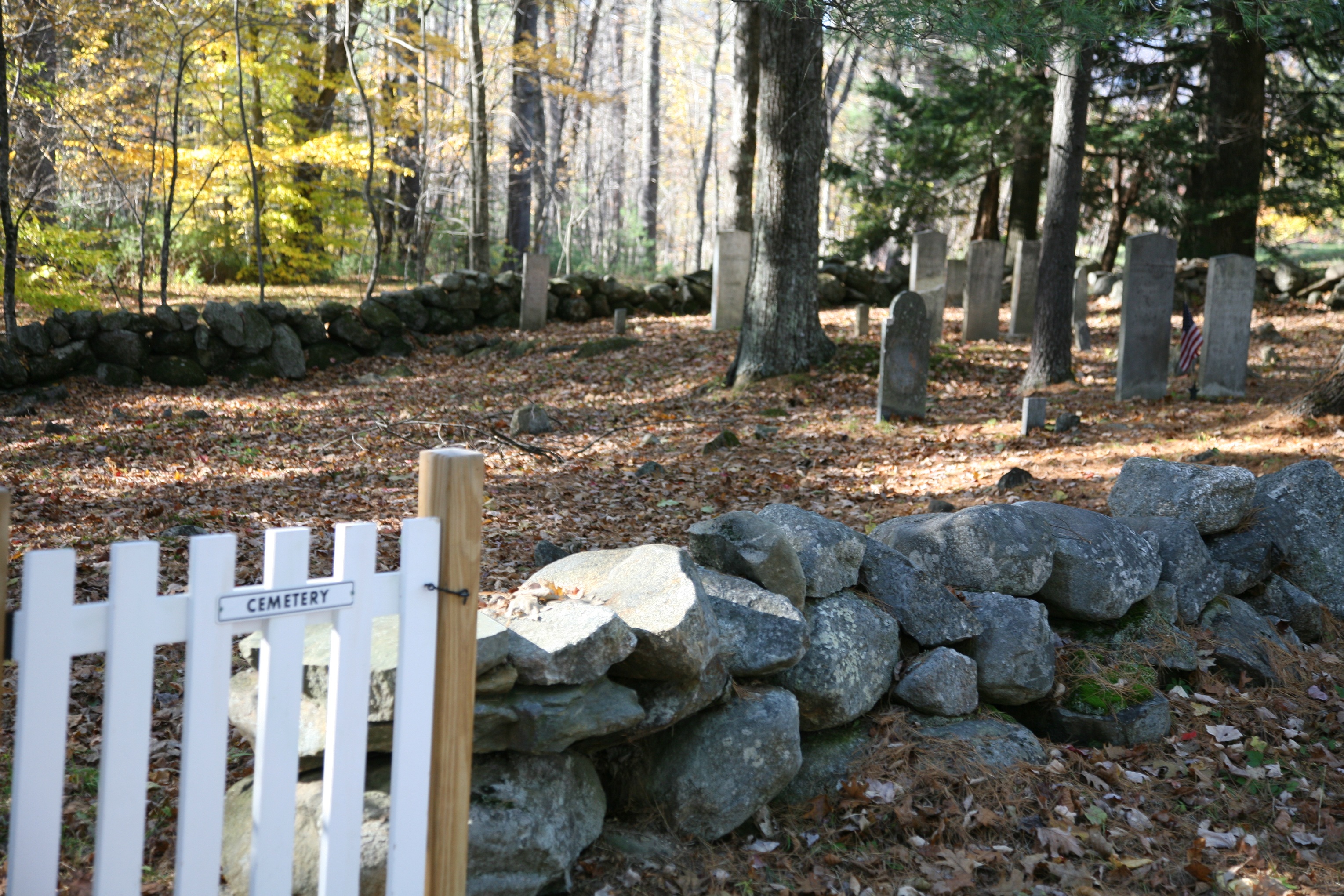
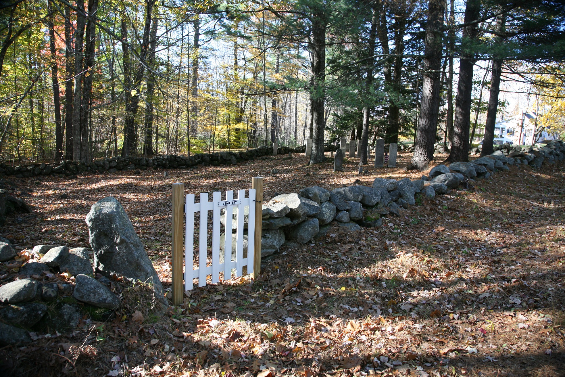
| Description | : | Weed Cemetery – Known as S05-058 Weed, by the New Hampshire Old Graveyard Association (NHOGA). This cemetery is on the west side of NH Route 113A in North Sandwich, Carroll County, NH. The cemetery is about 200 feet north from the intersection of Wing road, along the western side of the road just before the crest of the hill when traveling north. Look for the white picket gate. USGS Center Sandwich Quadrangle, E30781, N485851, Zone 19 (43° 51' 24"N, 71° 23' 29"W) Documented by a 1977 Sandwich Historical Society Excursion. See page 25 of their bulletin for the excursion details. NOTE:... Read More |
frequently asked questions (FAQ):
-
Where is Weed Cemetery?
Weed Cemetery is located at NH Route 113A200 feet north of the intersection with Wing road North Sandwich, Carroll County ,New Hampshire , 03259USA.
-
Weed Cemetery cemetery's updated grave count on graveviews.com?
0 memorials
-
Where are the coordinates of the Weed Cemetery?
Latitude: 43.8567140
Longitude: -71.3907470
Nearby Cemetories:
1. Weeds Mills Cemetery
North Sandwich, Carroll County, USA
Coordinate: 43.8678460, -71.3950260
2. North Sandwich Cemetery
North Sandwich, Carroll County, USA
Coordinate: 43.8410750, -71.3953610
3. North Sandwich Friends Cemetery
North Sandwich, Carroll County, USA
Coordinate: 43.8607300, -71.3636400
4. Quinby Cemetery
North Sandwich, Carroll County, USA
Coordinate: 43.8433000, -71.4148000
5. Morse Cemetery
Center Sandwich, Carroll County, USA
Coordinate: 43.8534300, -71.4241600
6. G.G. Smith Cemetery
North Sandwich, Carroll County, USA
Coordinate: 43.8390666, -71.3548476
7. Whiteface Intervale Cemetery
Sandwich, Carroll County, USA
Coordinate: 43.8911000, -71.3998000
8. Stevenson Cemetery
Tamworth, Carroll County, USA
Coordinate: 43.8471985, -71.3431015
9. Mason Cemetery
North Sandwich, Carroll County, USA
Coordinate: 43.8542000, -71.4426000
10. Pease Cemetery
Tamworth, Carroll County, USA
Coordinate: 43.8782000, -71.3413000
11. Cleveland Family Cemetery
Tamworth, Carroll County, USA
Coordinate: 43.8554370, -71.3204530
12. Meader Cemetery
Tamworth, Carroll County, USA
Coordinate: 43.8387880, -71.3242646
13. Elm Hill Cemetery
Center Sandwich, Carroll County, USA
Coordinate: 43.8158000, -71.4336000
14. Elm Hill Cemetery
Sandwich, Carroll County, USA
Coordinate: 43.8158330, -71.4338890
15. Vittum Hill Cemetery
Sandwich, Carroll County, USA
Coordinate: 43.8096700, -71.3578100
16. Wallace-Vittum Cemetery
Sandwich, Carroll County, USA
Coordinate: 43.8110897, -71.3536102
17. Smith Cemetery
Tamworth, Carroll County, USA
Coordinate: 43.8405670, -71.3189220
18. Beede Cemetery
Sandwich, Carroll County, USA
Coordinate: 43.8013890, -71.4166670
19. Walden Burial Site at Wonalancet Union Chapel
Wonalancet, Carroll County, USA
Coordinate: 43.9079000, -71.3493000
20. Wonalancet Cemetery
Wonalancet, Carroll County, USA
Coordinate: 43.9077000, -71.3480000
21. Baptist Burial Ground
Center Sandwich, Carroll County, USA
Coordinate: 43.8079900, -71.4392600
22. Grove Cemetery
Sandwich, Carroll County, USA
Coordinate: 43.8101100, -71.4445200
23. Jewell Cemetery
Albany, Carroll County, USA
Coordinate: 43.9137540, -71.3584110
24. Cram-Webster Cemetery
Sandwich, Carroll County, USA
Coordinate: 43.7972220, -71.3641670