
| Memorials | : | 0 |
| Location | : | Powiat stargardzki, Poland |
| Coordinate | : | 53.3844372, 14.9905812 |
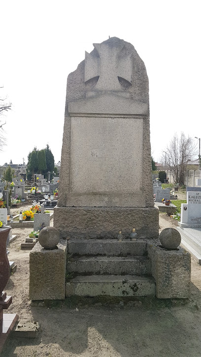
| Description | : | In Polish the name would be Cmentarz Ewangelicki-Lutheryjski w Żarowo. The cemetery appears to be taken over by the current village and may have pre World War II burials. Żarowo ( German: Saarow) is a village in the administrative district of Gmina Stargard, within Stargard County, West Pomeranian Voivodeship, in north-western Poland. It lies approximately 7 kilometres (4 mi) north-west of Stargard and 28 km (17 mi) east of the regional capital Szczecin. Before 1945 the area was part of Germany. After World War II the area became part of Poland and the German population was expelled. |
frequently asked questions (FAQ):
-
Where is Evangelisch-Lutheranischer Friedhof von Saarow?
Evangelisch-Lutheranischer Friedhof von Saarow is located at Powiat stargardzki ,Zachodniopomorskie ,Poland.
-
Evangelisch-Lutheranischer Friedhof von Saarow cemetery's updated grave count on graveviews.com?
0 memorials
-
Where are the coordinates of the Evangelisch-Lutheranischer Friedhof von Saarow?
Latitude: 53.3844372
Longitude: 14.9905812
Nearby Cemetories:
1. Evangelisch-Lutheranischer Friedhof von Roggow
Powiat stargardzki, Poland
Coordinate: 53.4015718, 14.9828398
2. Cmentarz w Grzędzicach
Powiat stargardzki, Poland
Coordinate: 53.3686129, 14.9688987
3. Cmentarz w Małkocin
Powiat stargardzki, Poland
Coordinate: 53.4042790, 15.0290288
4. Cmentarz w Poczernin
Powiat stargardzki, Poland
Coordinate: 53.4244760, 14.9547506
5. Cmentarz Komunalny w Stargardzie - Stary
Powiat stargardzki, Poland
Coordinate: 53.3304143, 15.0233839
6. Cmentarz Komunalny w Stargardzie - Nowy
Powiat stargardzki, Poland
Coordinate: 53.3246820, 15.0106728
7. Evangelisch-Lutheranischer Friedhof von Karlsbach
Powiat stargardzki, Poland
Coordinate: 53.4465560, 14.8874502
8. Cmentarz Komunaly Wielgowo
Szczecin, Miasto Szczecin, Poland
Coordinate: 53.3974730, 14.7657970
9. Dabie
Szczecin, Miasto Szczecin, Poland
Coordinate: 53.3975520, 14.7656270
10. Cmentarz w Chlebówku
Powiat stargardzki, Poland
Coordinate: 53.4684140, 15.1759636
11. Poland Evangelical Cemetery
Szczecin, Miasto Szczecin, Poland
Coordinate: 53.4125100, 15.2373470
12. Cmentarz Komunalny
Szczecin, Miasto Szczecin, Poland
Coordinate: 53.3538020, 14.7367000
13. German Military Cemetery, Stare Czarnowo
Szczecin, Miasto Szczecin, Poland
Coordinate: 53.2962525, 14.7269528
14. Cmentarz Dąbie
Szczecin, Miasto Szczecin, Poland
Coordinate: 53.3991720, 14.6854910
15. Cmentarz w Kania
Powiat stargardzki, Poland
Coordinate: 53.4989516, 15.2433455
16. Voßberg
Powiat stargardzki, Poland
Coordinate: 53.4284883, 15.3067841
17. Voßberg
Powiat stargardzki, Poland
Coordinate: 53.4284883, 15.3067841
18. Evangelisch-Lutheranischer Friedhof von Karkow
Powiat stargardzki, Poland
Coordinate: 53.4753318, 15.2854060
19. Evangelisch-Lutheranischer Friedhof von Gollnow
Szczecin, Miasto Szczecin, Poland
Coordinate: 53.5573402, 14.8215340
20. Lubczyna Lapidarium
Powiat goleniowski, Poland
Coordinate: 53.5073500, 14.7100500
21. Cmentarz w Borzysławcu
Powiat goleniowski, Poland
Coordinate: 53.5190030, 14.7191929
22. Ev.-lutherischer Kirchfriedhof Kriewitz (Krzywice)
Powiat goleniowski, Poland
Coordinate: 53.6012116, 14.9643436
23. Cmentarz Komunalny w Chociwlu
Powiat stargardzki, Poland
Coordinate: 53.4684722, 15.3443890
24. Ev.-lutherischer Friedhof von Glewitz (Glewice)
Powiat goleniowski, Poland
Coordinate: 53.6069373, 14.9132945