
| Memorials | : | 1 |
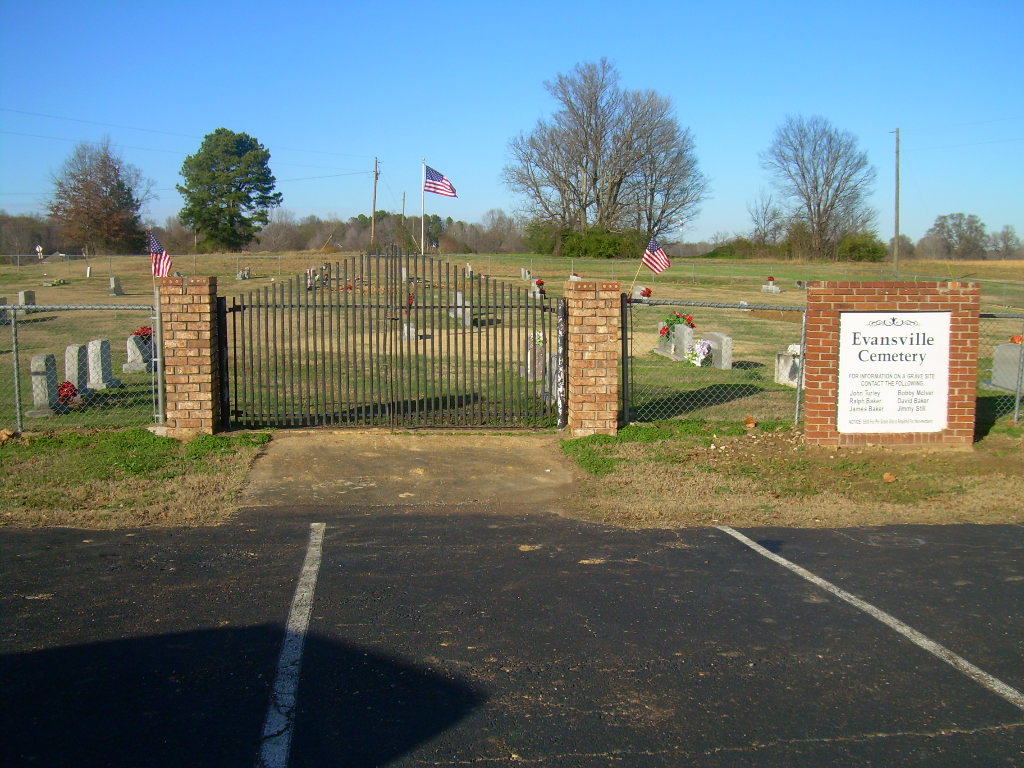
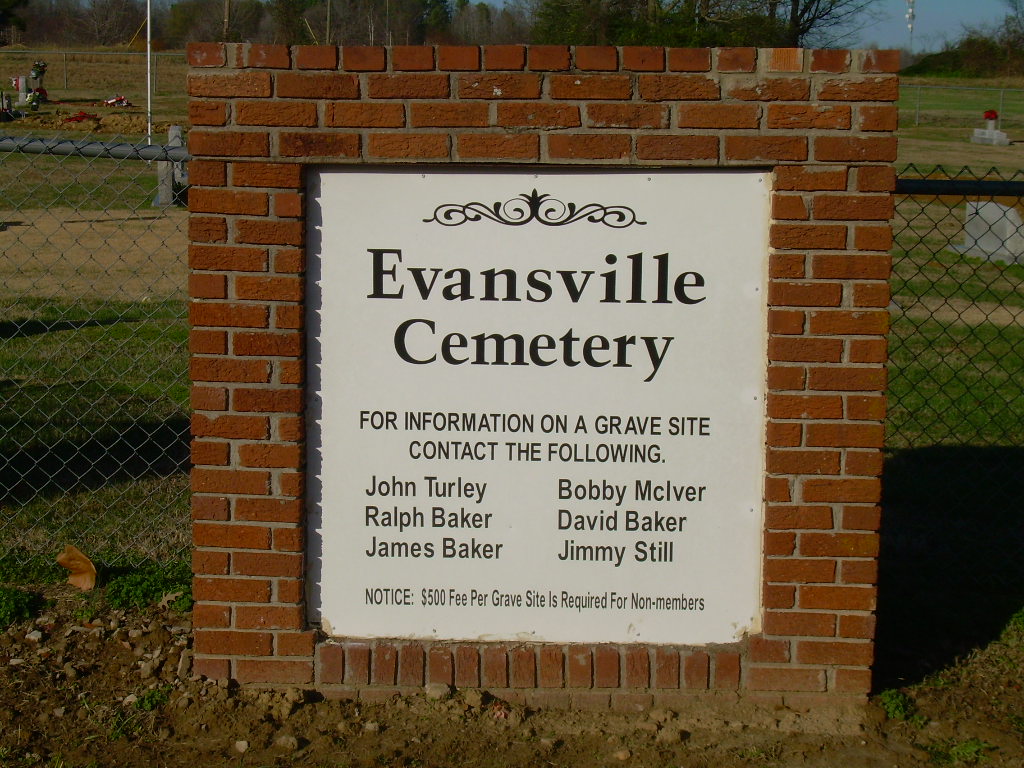
| Location | : | Arkabutla, Tate County, USA |
| Coordinate | : | 34.6497600, -90.1886160 |
| Description | : | From the intersection of Arkabutla Rd. & Carlton Rd., in Arkabutla, travel southwest on Arkabutla Rd. for 5.2 mi.; turning south (left) onto Evansville Rd., going 0.4 mi. to this well maintained, 'deeded' cemetery, adjacent to the Evansville Baptist Church, as notated on USGS topo maps. |
frequently asked questions (FAQ):
-
Where is Evansville Church Cemetery?
Evansville Church Cemetery is located at 471 Evansville Road Arkabutla, Tate County ,Mississippi , 38618USA.
-
Evansville Church Cemetery cemetery's updated grave count on graveviews.com?
1 memorials
-
Where are the coordinates of the Evansville Church Cemetery?
Latitude: 34.6497600
Longitude: -90.1886160
Nearby Cemetories:
1. Saint Samaritan AME Church Cemetery
Arkabutla, Tate County, USA
Coordinate: 34.6570790, -90.1889010
2. Flag Lake Cemetery
Strayhorn, Tate County, USA
Coordinate: 34.6235680, -90.1745770
3. Bluff Road Cemetery
Arkabutla, Tate County, USA
Coordinate: 34.6992110, -90.1842580
4. Surretts Cemetery
Arkabutla, Tate County, USA
Coordinate: 34.6845870, -90.1369790
5. Saint Peter's Cemetery
Strayhorn, Tate County, USA
Coordinate: 34.6526570, -90.1195750
6. New Spring Hill M.B. Church Cemetery
Strayhorn, Tate County, USA
Coordinate: 34.5952900, -90.1446580
7. McGaha Cemetery
Arkabutla, Tate County, USA
Coordinate: 34.6846310, -90.1199010
8. Singleton Springs Cemetery
Strayhorn, Tate County, USA
Coordinate: 34.6332690, -90.1092480
9. Good Shepherd Church Cemetery
Prichard, Tunica County, USA
Coordinate: 34.7070130, -90.2389130
10. New Pleasant Hill MB Church Cemetery
Arkabutla, Tate County, USA
Coordinate: 34.7136680, -90.1506790
11. Truslow U.M. Church Cemetery
Truslow, Tate County, USA
Coordinate: 34.5697270, -90.1770660
12. Hopewell Cemetery
Arkabutla, Tate County, USA
Coordinate: 34.7042870, -90.1106630
13. Harmony Cemetery
Strayhorn, Tate County, USA
Coordinate: 34.5801100, -90.1282630
14. Latter Day Saints Cemetery
Sarah, Tate County, USA
Coordinate: 34.5620070, -90.1724190
15. Belmont Cemetery
Tunica County, USA
Coordinate: 34.7141120, -90.2647050
16. Crockett Church of Christ Cemetery
Crockett, Tate County, USA
Coordinate: 34.6192010, -90.0785510
17. Veazey Cemetery
Crockett, Tate County, USA
Coordinate: 34.6414730, -90.0718240
18. New Baptist Cemetery
Tunica County, USA
Coordinate: 34.5788994, -90.2716980
19. Mount Calm Missionary Baptist Church Cemetery
Coldwater, Tate County, USA
Coordinate: 34.6828210, -90.0697970
20. Ella Green Baptist Church Cemetery
Coldwater, Tate County, USA
Coordinate: 34.7416920, -90.1293610
21. Bucey-Matthews Cemetery
Senatobia, Tate County, USA
Coordinate: 34.6179000, -90.0681000
22. Featherston AME Chapel Cemetery
Senatobia, Tate County, USA
Coordinate: 34.6184400, -90.0653650
23. Oak Grove Cemetery
Tunica County, USA
Coordinate: 34.6955986, -90.3052979
24. Christian Grove Church Cemetery
White Oak, Tunica County, USA
Coordinate: 34.6403600, -90.3222400