
| Memorials | : | 0 |
| Location | : | Arkabutla, Tate County, USA |
| Coordinate | : | 34.7042870, -90.1106630 |
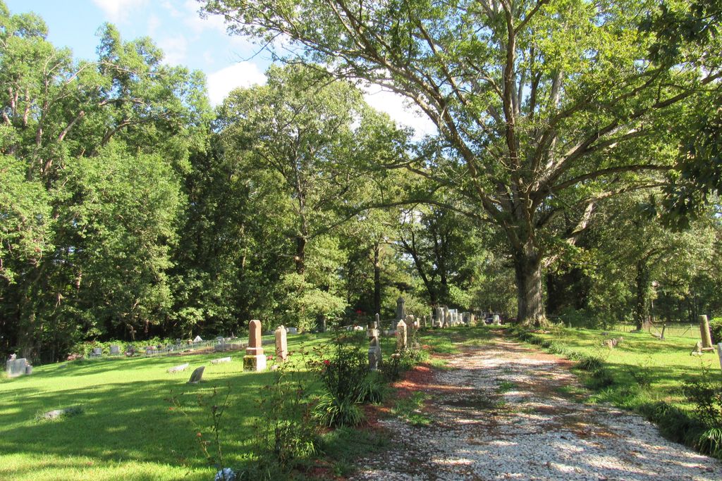
| Description | : | From the intersection of Central Ave. & US-51, in Coldwater, travel west on Central Ave. for 0.6 mi.; continuing onto Arkabutla Rd. for 7.7 mi.; turning north (right) onto Kelly Crossing Rd., going 0.5 mi. turning northwest (left) into a gravel driveway into this 'deeded' cemetery, as notated on USGS topo maps. |
frequently asked questions (FAQ):
-
Where is Hopewell Cemetery?
Hopewell Cemetery is located at 476 Kelly Crossing Road Arkabutla, Tate County ,Mississippi , 38618USA.
-
Hopewell Cemetery cemetery's updated grave count on graveviews.com?
0 memorials
-
Where are the coordinates of the Hopewell Cemetery?
Latitude: 34.7042870
Longitude: -90.1106630

Nearby Cemetories:
1. McGaha Cemetery
Arkabutla, Tate County, USA
Coordinate: 34.6846310, -90.1199010
2. Surretts Cemetery
Arkabutla, Tate County, USA
Coordinate: 34.6845870, -90.1369790
3. New Pleasant Hill MB Church Cemetery
Arkabutla, Tate County, USA
Coordinate: 34.7136680, -90.1506790
4. Mount Calm Missionary Baptist Church Cemetery
Coldwater, Tate County, USA
Coordinate: 34.6828210, -90.0697970
5. Ella Green Baptist Church Cemetery
Coldwater, Tate County, USA
Coordinate: 34.7416920, -90.1293610
6. Saint Peter's Cemetery
Strayhorn, Tate County, USA
Coordinate: 34.6526570, -90.1195750
7. William Grant Merritt Cemetery
Hernando, DeSoto County, USA
Coordinate: 34.7348500, -90.0499300
8. Antioch M.B. Church Cemetery #2
Coldwater, Tate County, USA
Coordinate: 34.6852450, -90.0432750
9. Bluff Road Cemetery
Arkabutla, Tate County, USA
Coordinate: 34.6992110, -90.1842580
10. Brooks Chapel Cemetery
Arkabutla, Tate County, USA
Coordinate: 34.6706650, -90.0388020
11. Veazey Cemetery
Crockett, Tate County, USA
Coordinate: 34.6414730, -90.0718240
12. Singleton Springs Cemetery
Strayhorn, Tate County, USA
Coordinate: 34.6332690, -90.1092480
13. Solomon Cemetery
Hernando, DeSoto County, USA
Coordinate: 34.7281240, -90.0259670
14. Saint Samaritan AME Church Cemetery
Arkabutla, Tate County, USA
Coordinate: 34.6570790, -90.1889010
15. Union Hill Cemetery
Eudora, DeSoto County, USA
Coordinate: 34.7710470, -90.1640790
16. Moore Family Cemetery
Hernando, DeSoto County, USA
Coordinate: 34.7441050, -90.0233790
17. Evansville Church Cemetery
Arkabutla, Tate County, USA
Coordinate: 34.6497600, -90.1886160
18. Pleasant Hill MB Church Cemetery
Pleasant Hill, DeSoto County, USA
Coordinate: 34.7863640, -90.0852230
19. Crockett Church of Christ Cemetery
Crockett, Tate County, USA
Coordinate: 34.6192010, -90.0785510
20. Bucey-Matthews Cemetery
Senatobia, Tate County, USA
Coordinate: 34.6179000, -90.0681000
21. Brown Family Cemetery
Hernando, DeSoto County, USA
Coordinate: 34.7933040, -90.0769560
22. Featherston AME Chapel Cemetery
Senatobia, Tate County, USA
Coordinate: 34.6184400, -90.0653650
23. Zion Hill Missionary Baptist Church Cemetery
Robinson Gin, DeSoto County, USA
Coordinate: 34.7655260, -90.0242000
24. Pleasant Grove CME Church Cemetery
Eudora, DeSoto County, USA
Coordinate: 34.7947270, -90.1475890