
| Memorials | : | 0 |
| Location | : | Arkabutla, Tate County, USA |
| Coordinate | : | 34.6846310, -90.1199010 |
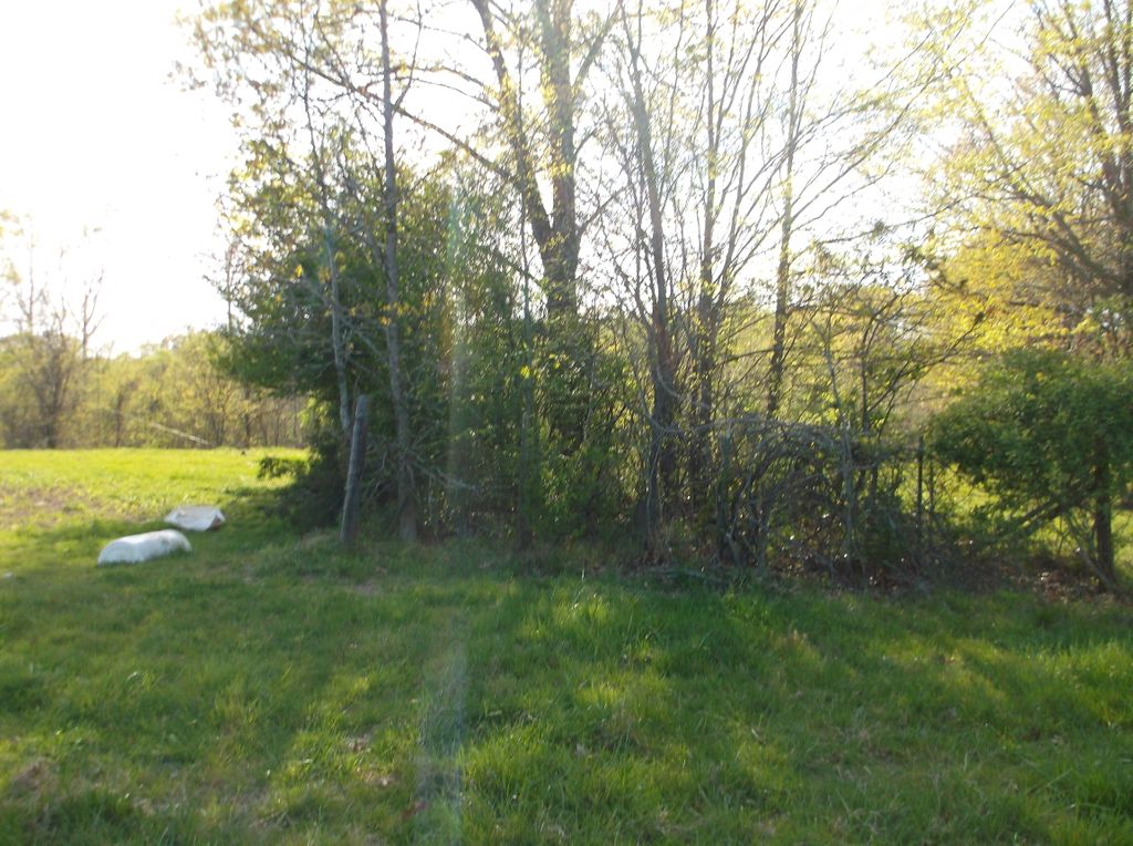
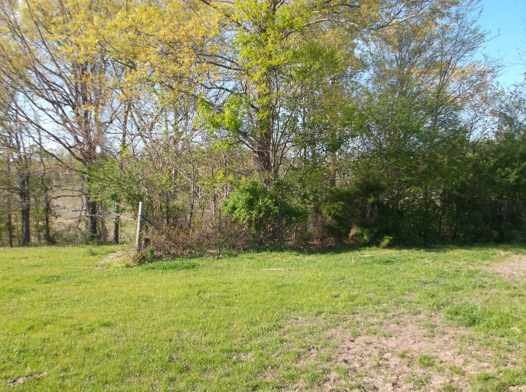
| Description | : | McGaha Cemetery is located approximately 1 1/4 mile south of Arkabutla on Carlton Road. A record of this cemetery was published in Tate Trails Vol I, Number I, page 11, 1983. There were other stones that were broken and couldn't be read (1983). |
frequently asked questions (FAQ):
-
Where is McGaha Cemetery?
McGaha Cemetery is located at Arkabutla, Tate County ,Mississippi ,USA.
-
McGaha Cemetery cemetery's updated grave count on graveviews.com?
0 memorials
-
Where are the coordinates of the McGaha Cemetery?
Latitude: 34.6846310
Longitude: -90.1199010
Nearby Cemetories:
1. Surretts Cemetery
Arkabutla, Tate County, USA
Coordinate: 34.6845870, -90.1369790
2. Hopewell Cemetery
Arkabutla, Tate County, USA
Coordinate: 34.7042870, -90.1106630
3. Saint Peter's Cemetery
Strayhorn, Tate County, USA
Coordinate: 34.6526570, -90.1195750
4. New Pleasant Hill MB Church Cemetery
Arkabutla, Tate County, USA
Coordinate: 34.7136680, -90.1506790
5. Mount Calm Missionary Baptist Church Cemetery
Coldwater, Tate County, USA
Coordinate: 34.6828210, -90.0697970
6. Singleton Springs Cemetery
Strayhorn, Tate County, USA
Coordinate: 34.6332690, -90.1092480
7. Bluff Road Cemetery
Arkabutla, Tate County, USA
Coordinate: 34.6992110, -90.1842580
8. Ella Green Baptist Church Cemetery
Coldwater, Tate County, USA
Coordinate: 34.7416920, -90.1293610
9. Veazey Cemetery
Crockett, Tate County, USA
Coordinate: 34.6414730, -90.0718240
10. Antioch M.B. Church Cemetery #2
Coldwater, Tate County, USA
Coordinate: 34.6852450, -90.0432750
11. Saint Samaritan AME Church Cemetery
Arkabutla, Tate County, USA
Coordinate: 34.6570790, -90.1889010
12. Evansville Church Cemetery
Arkabutla, Tate County, USA
Coordinate: 34.6497600, -90.1886160
13. Brooks Chapel Cemetery
Arkabutla, Tate County, USA
Coordinate: 34.6706650, -90.0388020
14. Crockett Church of Christ Cemetery
Crockett, Tate County, USA
Coordinate: 34.6192010, -90.0785510
15. Flag Lake Cemetery
Strayhorn, Tate County, USA
Coordinate: 34.6235680, -90.1745770
16. William Grant Merritt Cemetery
Hernando, DeSoto County, USA
Coordinate: 34.7348500, -90.0499300
17. Bucey-Matthews Cemetery
Senatobia, Tate County, USA
Coordinate: 34.6179000, -90.0681000
18. Featherston AME Chapel Cemetery
Senatobia, Tate County, USA
Coordinate: 34.6184400, -90.0653650
19. Solomon Cemetery
Hernando, DeSoto County, USA
Coordinate: 34.7281240, -90.0259670
20. New Spring Hill M.B. Church Cemetery
Strayhorn, Tate County, USA
Coordinate: 34.5952900, -90.1446580
21. Antioch M.B Church Cemetery #1
Coldwater, Tate County, USA
Coordinate: 34.6414140, -90.0212140
22. Union Hill Cemetery
Eudora, DeSoto County, USA
Coordinate: 34.7710470, -90.1640790
23. Cameron Road Jehovah Witness Cemetery
Coldwater, Tate County, USA
Coordinate: 34.6591845, -90.0048373
24. Moore Family Cemetery
Hernando, DeSoto County, USA
Coordinate: 34.7441050, -90.0233790