
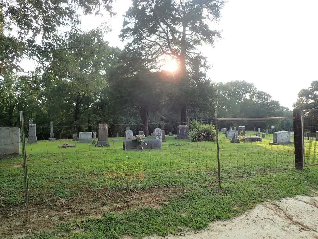
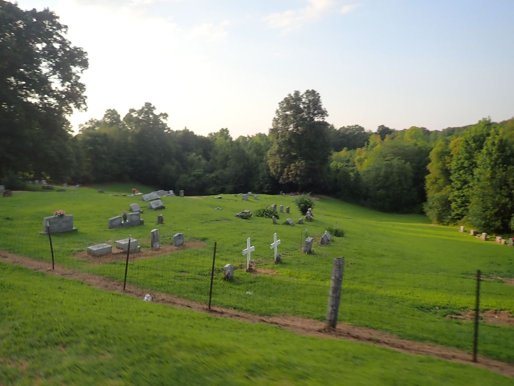
| Memorials | : | 4 |
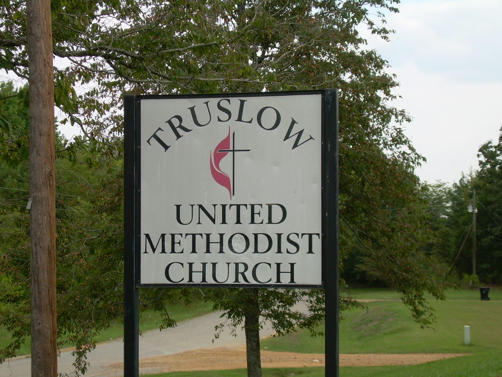
| Location | : | Truslow, Tate County, USA |
| Coordinate | : | 34.5697270, -90.1770660 |
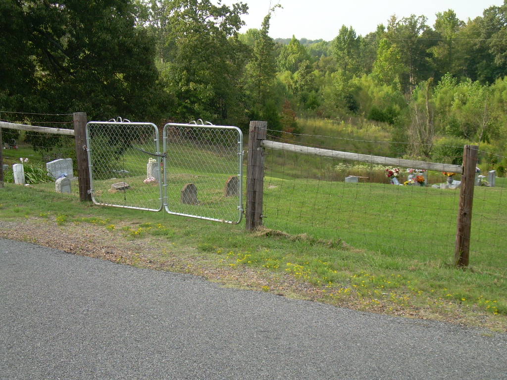
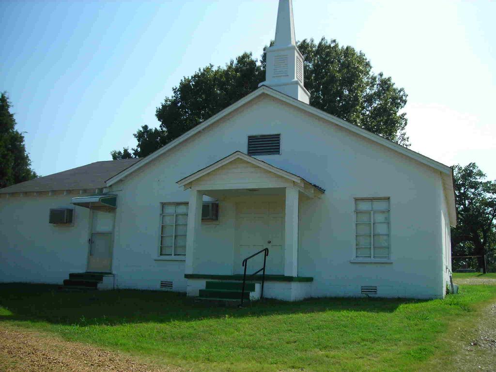
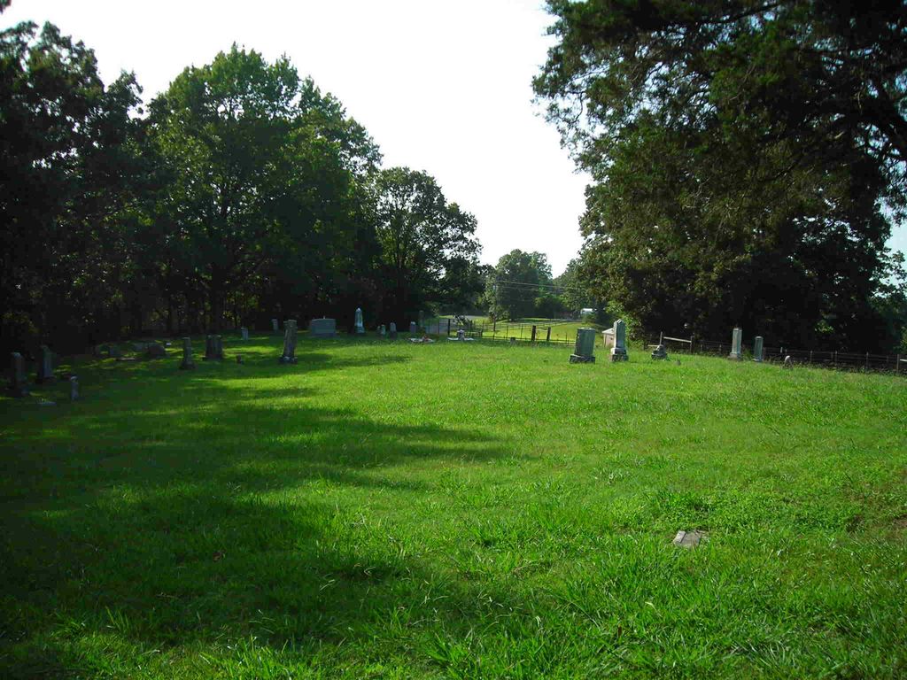
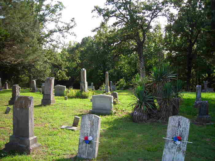
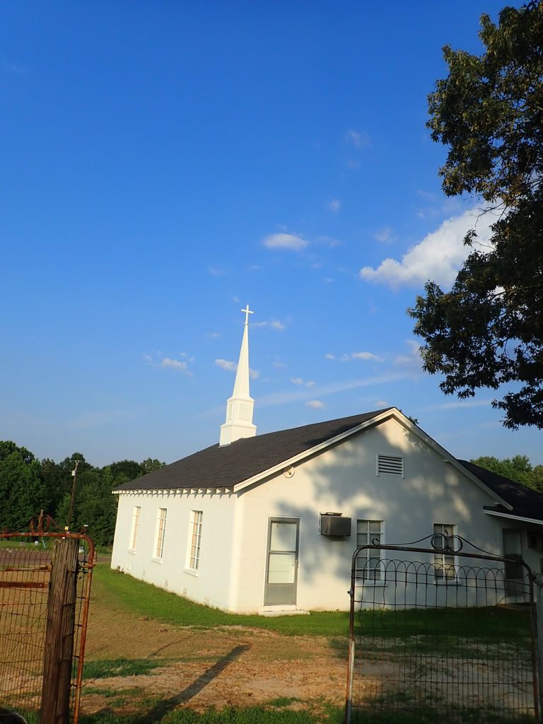
| Description | : | From the intersection of Browns Ferry Rd. & Rader Rd. west of Senatobia, travel west on Browns Ferry Rd., for 1.6 mi.; turning south (left) into the parking area of the Truslow U.M. Church & to the two sections of their 'deeded' cemetery, behind the church & across Browns Ferry Rd., as notated on USGS topo maps. |
frequently asked questions (FAQ):
-
Where is Truslow U.M. Church Cemetery?
Truslow U.M. Church Cemetery is located at 561 Whitsell Road Truslow, Tate County ,Mississippi ,USA.
-
Truslow U.M. Church Cemetery cemetery's updated grave count on graveviews.com?
4 memorials
-
Where are the coordinates of the Truslow U.M. Church Cemetery?
Latitude: 34.5697270
Longitude: -90.1770660

Nearby Cemetories:
1. Latter Day Saints Cemetery
Sarah, Tate County, USA
Coordinate: 34.5620070, -90.1724190
2. New Spring Hill M.B. Church Cemetery
Strayhorn, Tate County, USA
Coordinate: 34.5952900, -90.1446580
3. Harmony Cemetery
Strayhorn, Tate County, USA
Coordinate: 34.5801100, -90.1282630
4. Flag Lake Cemetery
Strayhorn, Tate County, USA
Coordinate: 34.6235680, -90.1745770
5. Askew Grove Cemetery
Crenshaw, Panola County, USA
Coordinate: 34.5184850, -90.1214850
6. Longtown Memorial Garden Cemetery
Panola County, USA
Coordinate: 34.5171650, -90.1215040
7. Longtown Cemetery
Longtown, Panola County, USA
Coordinate: 34.5116997, -90.1181030
8. New Baptist Cemetery
Tunica County, USA
Coordinate: 34.5788994, -90.2716980
9. Evansville Church Cemetery
Arkabutla, Tate County, USA
Coordinate: 34.6497600, -90.1886160
10. Singleton Springs Cemetery
Strayhorn, Tate County, USA
Coordinate: 34.6332690, -90.1092480
11. Saint Joseph M. B. Church Cemetery
Crenshaw, Panola County, USA
Coordinate: 34.4826060, -90.1792600
12. Saint Samaritan AME Church Cemetery
Arkabutla, Tate County, USA
Coordinate: 34.6570790, -90.1889010
13. Salem Cemetery
Senatobia, Tate County, USA
Coordinate: 34.5738980, -90.0655420
14. Crockett Church of Christ Cemetery
Crockett, Tate County, USA
Coordinate: 34.6192010, -90.0785510
15. Saint Peter's Cemetery
Strayhorn, Tate County, USA
Coordinate: 34.6526570, -90.1195750
16. Rogers Cemetery
Panola County, USA
Coordinate: 34.4757996, -90.1446991
17. Bucey-Matthews Cemetery
Senatobia, Tate County, USA
Coordinate: 34.6179000, -90.0681000
18. Featherston AME Chapel Cemetery
Senatobia, Tate County, USA
Coordinate: 34.6184400, -90.0653650
19. Phillips Cemetery
Tunica County, USA
Coordinate: 34.5569000, -90.3052979
20. New Salem Baptist Church Cemetery
Senatobia, Tate County, USA
Coordinate: 34.5823520, -90.0449430
21. Veazey Cemetery
Crockett, Tate County, USA
Coordinate: 34.6414730, -90.0718240
22. New McNeal M.B. Church Cemetery
Crenshaw, Quitman County, USA
Coordinate: 34.5033430, -90.2892440
23. McGehee-White Cemetery
Parksplace, Panola County, USA
Coordinate: 34.5264282, -90.0444565
24. Surretts Cemetery
Arkabutla, Tate County, USA
Coordinate: 34.6845870, -90.1369790