
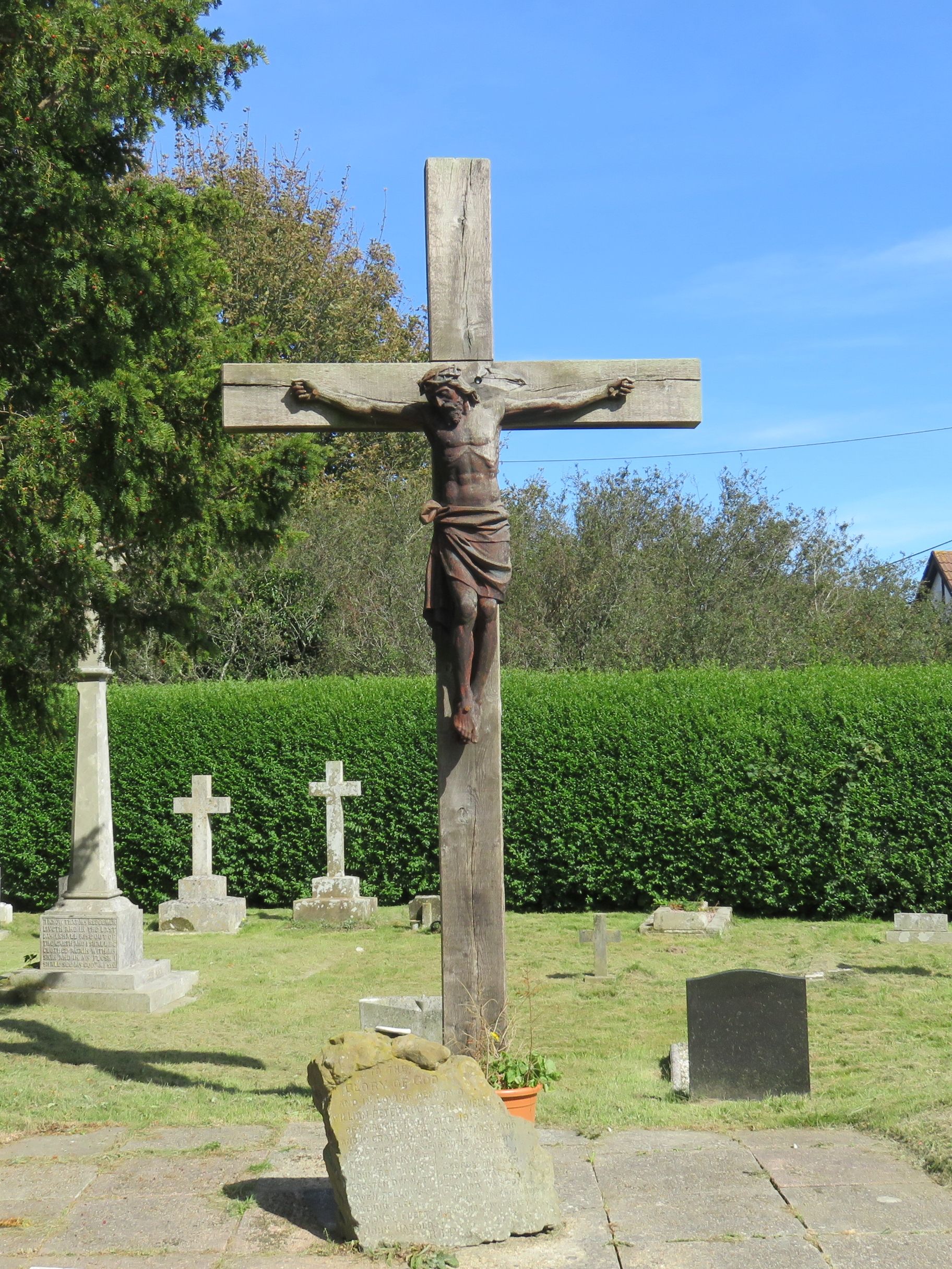
| Memorials | : | 209 |
| Location | : | Fairlight, Rother District, England |
| Coordinate | : | 50.8763470, 0.6428020 |
frequently asked questions (FAQ):
-
Where is Fairlight Catholic Cemetery?
Fairlight Catholic Cemetery is located at 4 Hill Road, Fairlight Cove Fairlight, Rother District ,East Sussex , TN35 4AEEngland.
-
Fairlight Catholic Cemetery cemetery's updated grave count on graveviews.com?
209 memorials
-
Where are the coordinates of the Fairlight Catholic Cemetery?
Latitude: 50.8763470
Longitude: 0.6428020
Nearby Cemetories:
1. St. Andrew Churchyard
Fairlight, Rother District, England
Coordinate: 50.8769080, 0.6424300
2. Saints Mary and Peter Churchyard
Pett, Rother District, England
Coordinate: 50.8944100, 0.6616400
3. Pett Methodist Chapel
Pett, Rother District, England
Coordinate: 50.8948184, 0.6606219
4. St Laurence Churchyard
Guestling, Rother District, England
Coordinate: 50.8996239, 0.6366920
5. Hastings Cemetery and Crematorium
Hastings, Hastings Borough, England
Coordinate: 50.8805070, 0.5904080
6. All Saints Churchyard
Hastings, Hastings Borough, England
Coordinate: 50.8593840, 0.5961820
7. St Mary-in-the-Castle
Hastings, Hastings Borough, England
Coordinate: 50.8555490, 0.5846370
8. All Saints and St Nicholas Churchyard
Icklesham, Rother District, England
Coordinate: 50.9171000, 0.6739770
9. St John the Baptist Churchyard
Westfield, Rother District, England
Coordinate: 50.9080090, 0.5729280
10. St. Leonard's Churchyard
St Leonards, Hastings Borough, England
Coordinate: 50.8513100, 0.5514400
11. Winchelsea Churchyard
Winchelsea, Rother District, England
Coordinate: 50.9241920, 0.7091480
12. Saint Mary Churchyard
Udimore, Rother District, England
Coordinate: 50.9399770, 0.6508420
13. St George Churchyard
Brede, Rother District, England
Coordinate: 50.9349140, 0.5963830
14. St. Leonard Churchyard
Hollington, Hastings Borough, England
Coordinate: 50.8743230, 0.5379840
15. BroadOak Methodist Chapel
Brede, Rother District, England
Coordinate: 50.9487320, 0.6015820
16. Saint Peter & Saint Paul Church Churchyard
Peasmarsh, Rother District, England
Coordinate: 50.9645500, 0.6859200
17. Crowhurst Churchyard
Crowhurst, Rother District, England
Coordinate: 50.8838070, 0.4968630
18. St Mary the Virgin Churchyard
Rye, Rother District, England
Coordinate: 50.9501686, 0.7341530
19. St Theresa's Catholic Church
Northiam, Rother District, England
Coordinate: 50.9654510, 0.5958960
20. Holy Spirit Churchyard
Rye Harbour, Rother District, England
Coordinate: 50.9387970, 0.7567050
21. St. John Baptist Anglcian Churchyard
Sedlescombe, Rother District, England
Coordinate: 50.9412440, 0.5281560
22. Rye Cemetery
Rye, Rother District, England
Coordinate: 50.9595370, 0.7322520
23. Battle Cemetery
Battle, Rother District, England
Coordinate: 50.9155800, 0.4935500
24. St. Michael's Churchyard
Playden, Rother District, England
Coordinate: 50.9621200, 0.7327000