
| Memorials | : | 0 |
| Location | : | Hastings, Hastings Borough, England |
| Coordinate | : | 50.8593840, 0.5961820 |
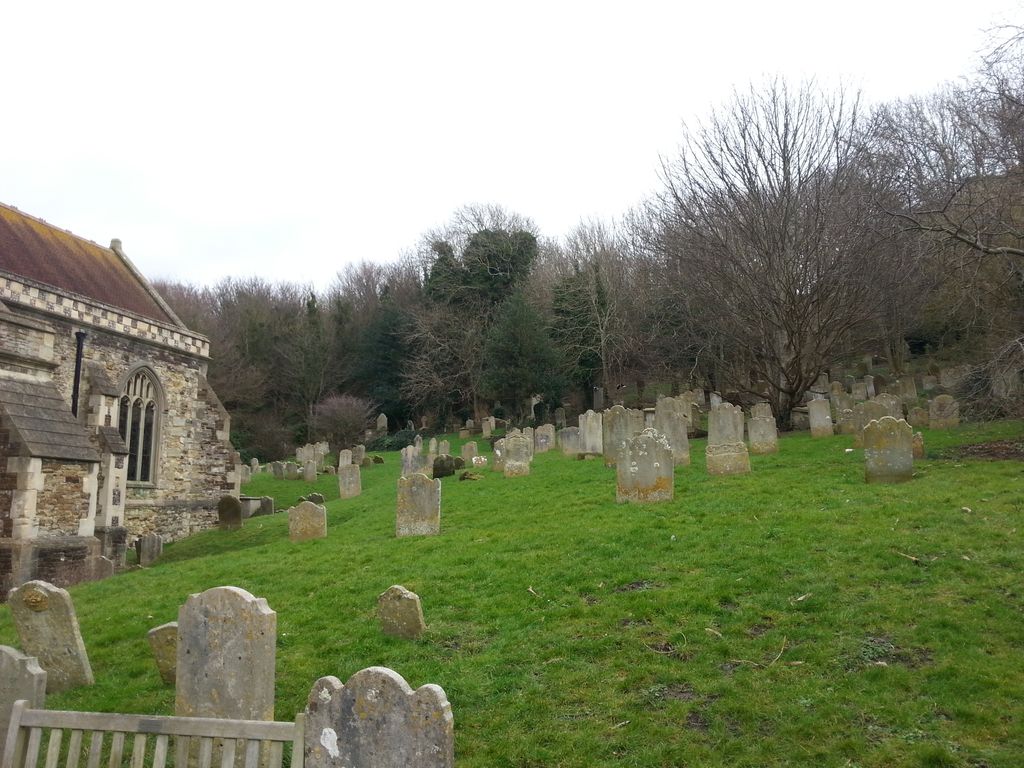
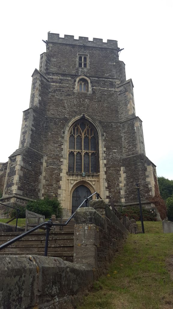
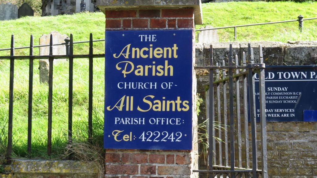
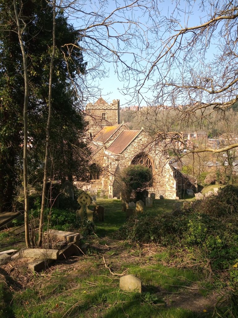
| Description | : | All Saints Church is one of two ancient churches (the other is St Clements Church) that form the Old Town Parish in Hastings. All Saints is a Grade 1 building that dates back to the early 15th century having been built between 1417 and 1430. |
frequently asked questions (FAQ):
-
Where is All Saints Churchyard?
All Saints Churchyard is located at All Saints Street Hastings, Hastings Borough ,East Sussex , TN34 3BPEngland.
-
All Saints Churchyard cemetery's updated grave count on graveviews.com?
0 memorials
-
Where are the coordinates of the All Saints Churchyard?
Latitude: 50.8593840
Longitude: 0.5961820


Nearby Cemetories:
1. St Mary-in-the-Castle
Hastings, Hastings Borough, England
Coordinate: 50.8555490, 0.5846370
2. Hastings Cemetery and Crematorium
Hastings, Hastings Borough, England
Coordinate: 50.8805070, 0.5904080
3. St. Leonard's Churchyard
St Leonards, Hastings Borough, England
Coordinate: 50.8513100, 0.5514400
4. Fairlight Catholic Cemetery
Fairlight, Rother District, England
Coordinate: 50.8763470, 0.6428020
5. St. Andrew Churchyard
Fairlight, Rother District, England
Coordinate: 50.8769080, 0.6424300
6. St. Leonard Churchyard
Hollington, Hastings Borough, England
Coordinate: 50.8743230, 0.5379840
7. St Laurence Churchyard
Guestling, Rother District, England
Coordinate: 50.8996239, 0.6366920
8. St John the Baptist Churchyard
Westfield, Rother District, England
Coordinate: 50.9080090, 0.5729280
9. Pett Methodist Chapel
Pett, Rother District, England
Coordinate: 50.8948184, 0.6606219
10. Saints Mary and Peter Churchyard
Pett, Rother District, England
Coordinate: 50.8944100, 0.6616400
11. Crowhurst Churchyard
Crowhurst, Rother District, England
Coordinate: 50.8838070, 0.4968630
12. St. Peter's Churchyard
Bexhill-on-Sea, Rother District, England
Coordinate: 50.8460530, 0.4787950
13. St George Churchyard
Brede, Rother District, England
Coordinate: 50.9349140, 0.5963830
14. All Saints and St Nicholas Churchyard
Icklesham, Rother District, England
Coordinate: 50.9171000, 0.6739770
15. Battle Cemetery
Battle, Rother District, England
Coordinate: 50.9155800, 0.4935500
16. Saint Mary Churchyard
Udimore, Rother District, England
Coordinate: 50.9399770, 0.6508420
17. St Mary the Virgin Churchyard
Battle, Rother District, England
Coordinate: 50.9150690, 0.4883620
18. Battle Abbey
Battle, Rother District, England
Coordinate: 50.9144940, 0.4875140
19. BroadOak Methodist Chapel
Brede, Rother District, England
Coordinate: 50.9487320, 0.6015820
20. Bexhill Cemetery
Bexhill-on-Sea, Rother District, England
Coordinate: 50.8587980, 0.4517460
21. St. John Baptist Anglcian Churchyard
Sedlescombe, Rother District, England
Coordinate: 50.9412440, 0.5281560
22. St. Laurence Churchyard
Catsfield, Rother District, England
Coordinate: 50.8938230, 0.4563190
23. Winchelsea Churchyard
Winchelsea, Rother District, England
Coordinate: 50.9241920, 0.7091480
24. St Mary Magdalene Churchyard
Whatlington, Rother District, England
Coordinate: 50.9365900, 0.5042980