
| Memorials | : | 76 |
| Location | : | Treynor, Pottawattamie County, USA |
| Coordinate | : | 41.2812843, -95.5555267 |
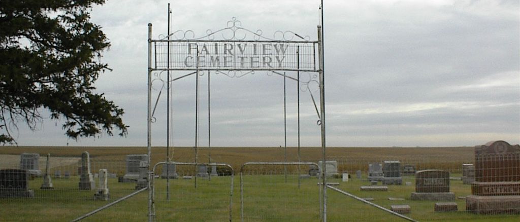
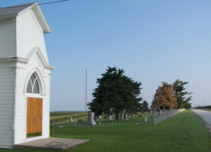
| Description | : | Cemetery is preserved by the Fairview Pioneer Memorial Association since 1956 and that they are the ones actively taking care of the chapel and the cemetery. |
frequently asked questions (FAQ):
-
Where is Fairview Pioneer Cemetery?
Fairview Pioneer Cemetery is located at 330th Street Treynor, Pottawattamie County ,Iowa ,USA.
-
Fairview Pioneer Cemetery cemetery's updated grave count on graveviews.com?
73 memorials
-
Where are the coordinates of the Fairview Pioneer Cemetery?
Latitude: 41.2812843
Longitude: -95.5555267
Nearby Cemetories:
1. Zion Congregational Cemetery
Treynor, Pottawattamie County, USA
Coordinate: 41.2325090, -95.6079200
2. Hardin Township Cemetery
McClelland, Pottawattamie County, USA
Coordinate: 41.2949982, -95.6513977
3. Saint Paul Lutheran Cemetery
Treynor, Pottawattamie County, USA
Coordinate: 41.2322000, -95.6380000
4. Belknap Cemetery
Oakland, Pottawattamie County, USA
Coordinate: 41.2924995, -95.4424973
5. Big Grove Cemetery
Pottawattamie County, USA
Coordinate: 41.3088420, -95.4322120
6. Pottawattamie County Home Cemetery
McClelland, Pottawattamie County, USA
Coordinate: 41.3269400, -95.6691738
7. Jones - Williams Cemetery
Pottawattamie County, USA
Coordinate: 41.3761000, -95.5846000
8. Old Town Cemetery
Macedonia, Pottawattamie County, USA
Coordinate: 41.2030983, -95.4421997
9. Carson Cemetery
Carson, Pottawattamie County, USA
Coordinate: 41.2392006, -95.4044037
10. Silver Valley Cemetery
Hancock, Pottawattamie County, USA
Coordinate: 41.4042015, -95.4969025
11. Downsville Cemetery
Pottawattamie County, USA
Coordinate: 41.3502998, -95.7039032
12. Keg Creek Township Cemetery
Treynor, Pottawattamie County, USA
Coordinate: 41.1913986, -95.6893997
13. Macedonia Cemetery
Macedonia, Pottawattamie County, USA
Coordinate: 41.1921997, -95.4167023
14. Oaklawn Cemetery
Oakland, Pottawattamie County, USA
Coordinate: 41.3260994, -95.3818970
15. H G Fisher Cemetery
Underwood, Pottawattamie County, USA
Coordinate: 41.3838997, -95.6889038
16. Saint Columbanus Cemetery
Weston, Pottawattamie County, USA
Coordinate: 41.3429440, -95.7435260
17. Castor Cemetery
Underwood, Pottawattamie County, USA
Coordinate: 41.4127040, -95.6887490
18. Zion Cemetery
Pottawattamie County, USA
Coordinate: 41.1778000, -95.7272000
19. Stoker-Graybill Cemetery
Council Bluffs, Pottawattamie County, USA
Coordinate: 41.2532620, -95.7751770
20. Wheeler Grove Cemetery
Macedonia, Pottawattamie County, USA
Coordinate: 41.2131691, -95.3393631
21. Mineola Cemetery
Mineola, Mills County, USA
Coordinate: 41.1391130, -95.6941800
22. Mormon Cemetery
Macedonia, Pottawattamie County, USA
Coordinate: 41.1885986, -95.3557663
23. Saylers Farm Cemetery
Henderson, Mills County, USA
Coordinate: 41.1083300, -95.4919440
24. Saint Pauls Evangelical Country Church Cemetery
Dumfries, Pottawattamie County, USA
Coordinate: 41.1748352, -95.7492371