
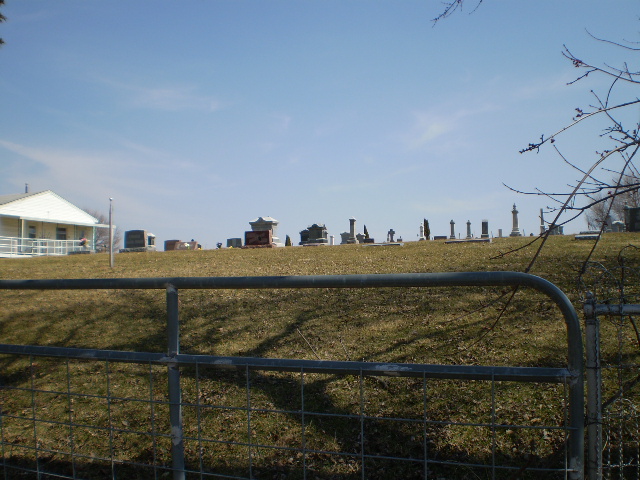
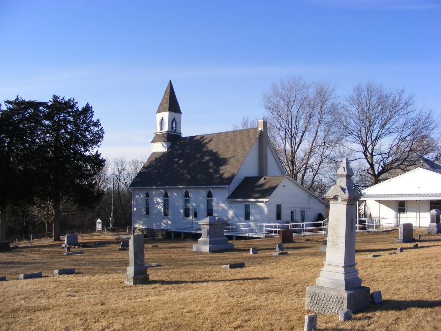
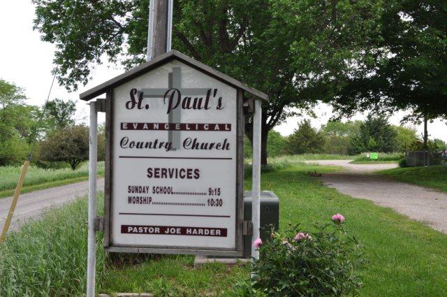
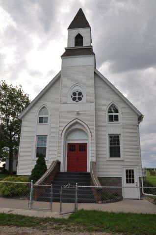
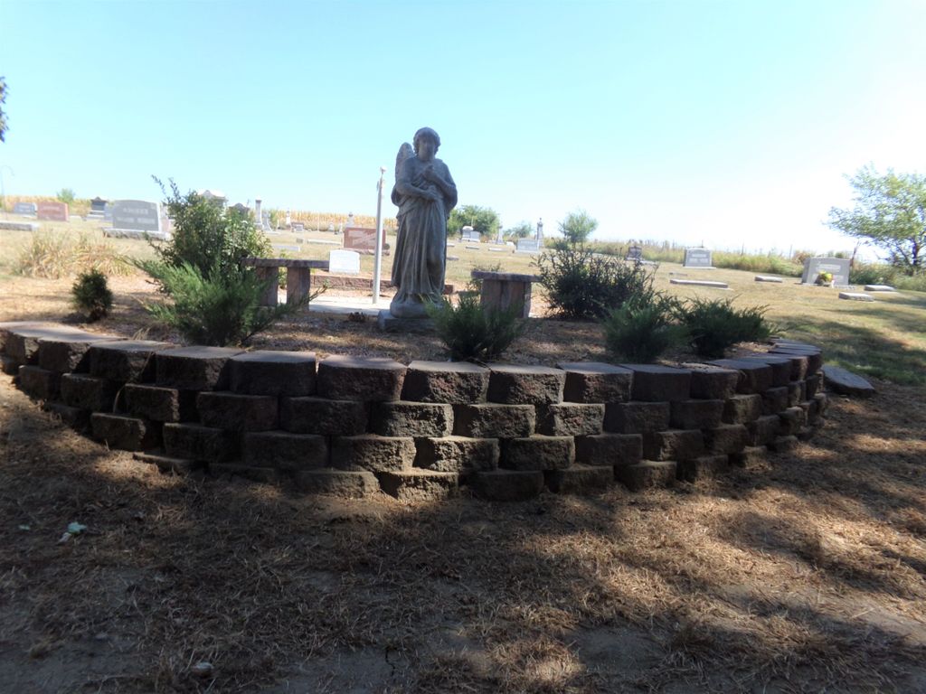
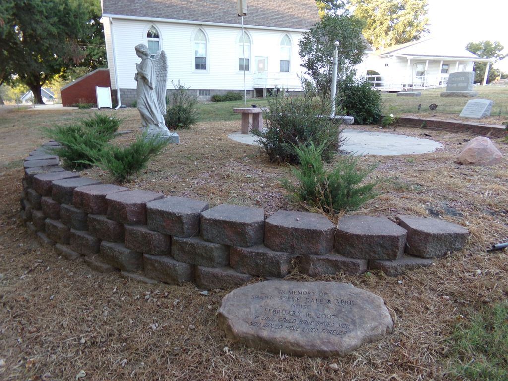
| Memorials | : | 23 |
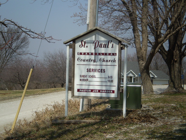
| Location | : | Dumfries, Pottawattamie County, USA |
| Coordinate | : | 41.1748352, -95.7492371 |
frequently asked questions (FAQ):
-
Where is Saint Pauls Evangelical Country Church Cemetery?
Saint Pauls Evangelical Country Church Cemetery is located at Dumfries, Pottawattamie County ,Iowa ,USA.
-
Saint Pauls Evangelical Country Church Cemetery cemetery's updated grave count on graveviews.com?
22 memorials
-
Where are the coordinates of the Saint Pauls Evangelical Country Church Cemetery?
Latitude: 41.1748352
Longitude: -95.7492371
Nearby Cemetories:
1. Zion Cemetery
Pottawattamie County, USA
Coordinate: 41.1778000, -95.7272000
2. Salem Lutheran Church Cemetery
Glenwood, Mills County, USA
Coordinate: 41.1556015, -95.7617035
3. Saint Boniface Catholic Cemetery
Mills County, USA
Coordinate: 41.1419000, -95.7467100
4. Keg Creek Township Cemetery
Treynor, Pottawattamie County, USA
Coordinate: 41.1913986, -95.6893997
5. Lewis Township Cemetery
Council Bluffs, Pottawattamie County, USA
Coordinate: 41.2117004, -95.7938995
6. Saar's Field Cemetery
Mills County, USA
Coordinate: 41.1255500, -95.7725000
7. Mineola Cemetery
Mineola, Mills County, USA
Coordinate: 41.1391130, -95.6941800
8. Maple Grove Cemetery
Council Bluffs, Pottawattamie County, USA
Coordinate: 41.2265560, -95.8187100
9. Wall Cemetery
Mineola, Mills County, USA
Coordinate: 41.1157990, -95.8153000
10. West Liberty Cemetery
Glenwood, Mills County, USA
Coordinate: 41.0956001, -95.7536011
11. Saint Marys Cemetery
Mills County, USA
Coordinate: 41.1517580, -95.8514000
12. Stoker-Graybill Cemetery
Council Bluffs, Pottawattamie County, USA
Coordinate: 41.2532620, -95.7751770
13. Clark Cemetery
Pottawattamie County, USA
Coordinate: 41.2551610, -95.8223390
14. Saint Paul Lutheran Cemetery
Treynor, Pottawattamie County, USA
Coordinate: 41.2322000, -95.6380000
15. Council Point Cemetery
Council Bluffs, Pottawattamie County, USA
Coordinate: 41.2110830, -95.8788610
16. Fontenelle Forest Cemetery
Bellevue, Sarpy County, USA
Coordinate: 41.1636430, -95.8887200
17. Memorial Park Cemetery
Council Bluffs, Pottawattamie County, USA
Coordinate: 41.2644005, -95.8261032
18. Cedar Lawn Cemetery
Council Bluffs, Pottawattamie County, USA
Coordinate: 41.2694016, -95.8182983
19. Gowens-Turner Cemetery
Glenwood, Mills County, USA
Coordinate: 41.0715510, -95.7952420
20. Silver City Cemetery
Silver City, Mills County, USA
Coordinate: 41.1042442, -95.6380005
21. Oak Hill Cemetery
Council Bluffs, Pottawattamie County, USA
Coordinate: 41.2700900, -95.8226400
22. Bikhor Cholim Cemetery
Council Bluffs, Pottawattamie County, USA
Coordinate: 41.2703670, -95.8229350
23. Saint Joseph Cemetery
Council Bluffs, Pottawattamie County, USA
Coordinate: 41.2722015, -95.8208008
24. Ridgewood Cemetery
Council Bluffs, Pottawattamie County, USA
Coordinate: 41.2694016, -95.8272018