
| Memorials | : | 0 |
| Location | : | Omaha, Randolph County, USA |
| Coordinate | : | 33.3365173, -85.2920609 |
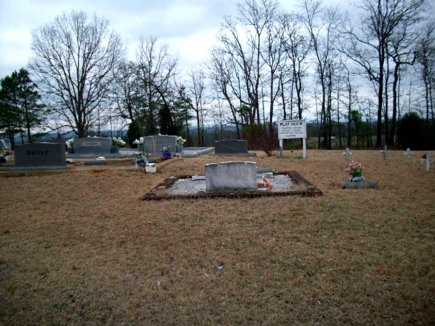
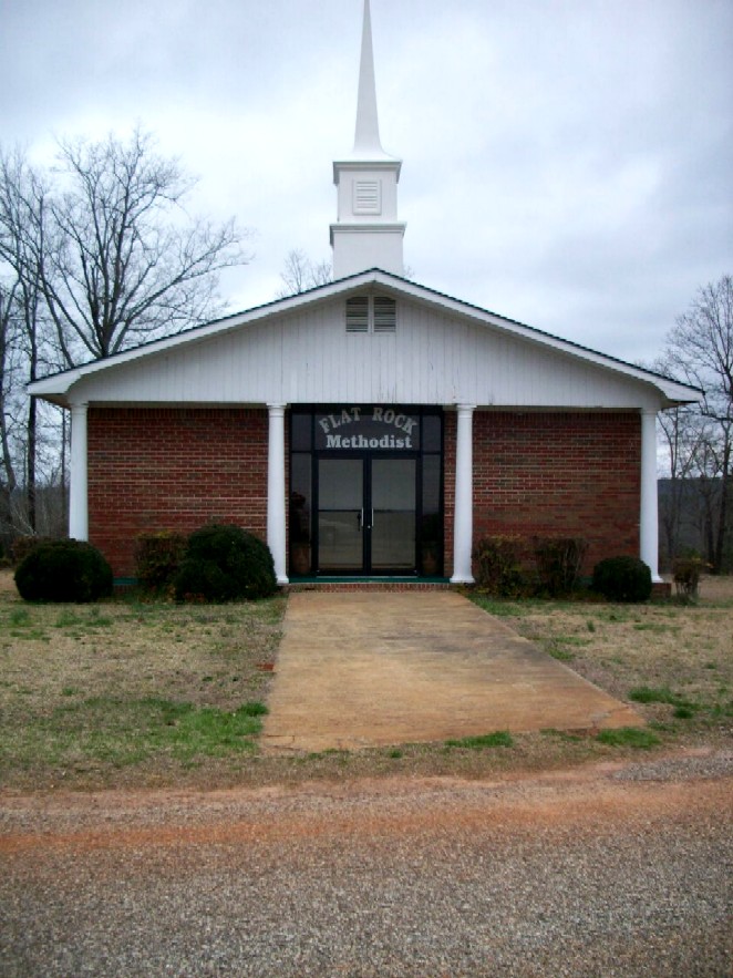
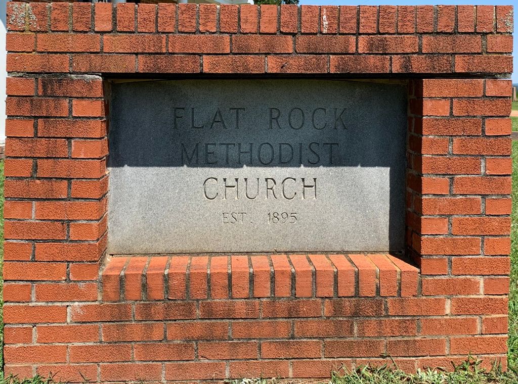
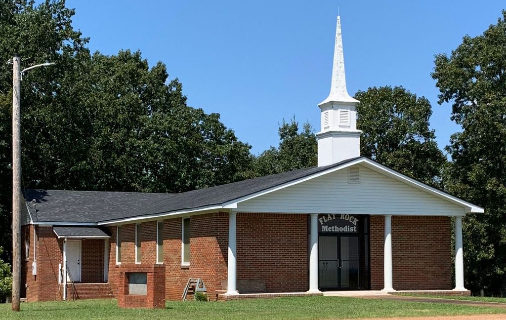
| Description | : | This cemetery is located in Township 19, Range 13, Section 28. The present address is 159 County Road 477, Woodland, Alabama Rt. 1. (Note that Flat Rock has or had its own ZIP code: 35966.) The cemetery lies on the south side of County Road 477 (called Flat Rock Road on some maps), where that road splits off from County Road 39. The Flat Rock Congregational Methodist Church building is situated on the north side of CR 477. It was constructed in 1976, after the previous building burned. This church was established in 1895,... Read More |
frequently asked questions (FAQ):
-
Where is Flat Rock Congregational Methodist Cemetery?
Flat Rock Congregational Methodist Cemetery is located at Omaha, Randolph County ,Alabama ,USA.
-
Flat Rock Congregational Methodist Cemetery cemetery's updated grave count on graveviews.com?
0 memorials
-
Where are the coordinates of the Flat Rock Congregational Methodist Cemetery?
Latitude: 33.3365173
Longitude: -85.2920609
Nearby Cemetories:
1. Liberty East Baptist Church Cemetery
Omaha, Randolph County, USA
Coordinate: 33.3401230, -85.3005940
2. Red Oak Cemetery
Heard County, USA
Coordinate: 33.3506012, -85.2621994
3. High Point Church of God Cemetery
Franklin, Heard County, USA
Coordinate: 33.3163986, -85.2636032
4. Mount Carmel Cemetery
Randolph County, USA
Coordinate: 33.3498650, -85.3439040
5. Ridgeway Cemetery
Heard County, USA
Coordinate: 33.3046989, -85.2493973
6. Macedonia Cemetery
Frolona, Heard County, USA
Coordinate: 33.3493996, -85.2347031
7. East Napoleon Church of Christ Cemetery
Napoleon, Randolph County, USA
Coordinate: 33.3204560, -85.3494260
8. Big Springs Cemetery
Roanoke, Randolph County, USA
Coordinate: 33.2873400, -85.3133160
9. West Napoleon Church of Christ Cemetery
Napoleon, Randolph County, USA
Coordinate: 33.3244900, -85.3582600
10. Lancaster Cemetery
Frolona, Heard County, USA
Coordinate: 33.3516998, -85.2264023
11. Coats Cemetery
Heard County, USA
Coordinate: 33.3946991, -85.2652969
12. Daniel Family Cemetery
Graham, Randolph County, USA
Coordinate: 33.3956100, -85.3200000
13. Noles Cemetery
Heard County, USA
Coordinate: 33.3205986, -85.2093964
14. Ephesus Cemetery
Ephesus, Heard County, USA
Coordinate: 33.4016991, -85.2538986
15. Beulah Baptist Church Cemetery
Roanoke, Randolph County, USA
Coordinate: 33.2667007, -85.2630997
16. Almon Cemetery
Heard County, USA
Coordinate: 33.2828100, -85.2304400
17. Highway Ridge Memorial Gardens
Randolph County, USA
Coordinate: 33.2778015, -85.3486023
18. Potash Church Of God Cemetery
Potash, Randolph County, USA
Coordinate: 33.2776900, -85.3489900
19. Daniel-McDow Cemetery
Graham, Randolph County, USA
Coordinate: 33.4088000, -85.3214800
20. Highway First Congregational Cemetery
Roanoke, Randolph County, USA
Coordinate: 33.2768000, -85.3539700
21. Ridley-Davis Cemetery
Heard County, USA
Coordinate: 33.3022003, -85.2005997
22. Haywood Cemetery
Haywood, Randolph County, USA
Coordinate: 33.3039700, -85.3899100
23. Hopewell Cemetery
Ephesus, Heard County, USA
Coordinate: 33.4021988, -85.2200012
24. Providence Baptist Church Cemetery
Providence, Randolph County, USA
Coordinate: 33.3970110, -85.3712540